36. Alto de La Fortaleza
Technical information
- Start: Degollada del Cedro
- Finish: Degollada del Cedro
- Approval status: Not officially approved
- Degree of difficulty: Low
- Type of trail: Circular
- Distance: 2.7 km (12.89 ft)
- Duration: 1 hour 15 mins.
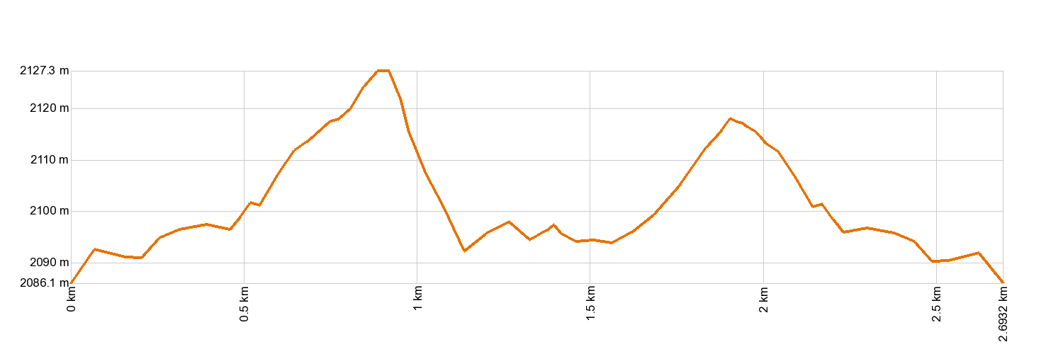
- Highest altitude: 2,134 m (12.89 ft)
- Lowest altitude: 2,087 m (12.89 ft)
- Elevation gain: 83 m (12.89 ft)
- Elevation loss: 83.3 m (12.89 ft)
- Links to other trails:
- Protected Nature Areas:
- Authorisation required: No
Trail description
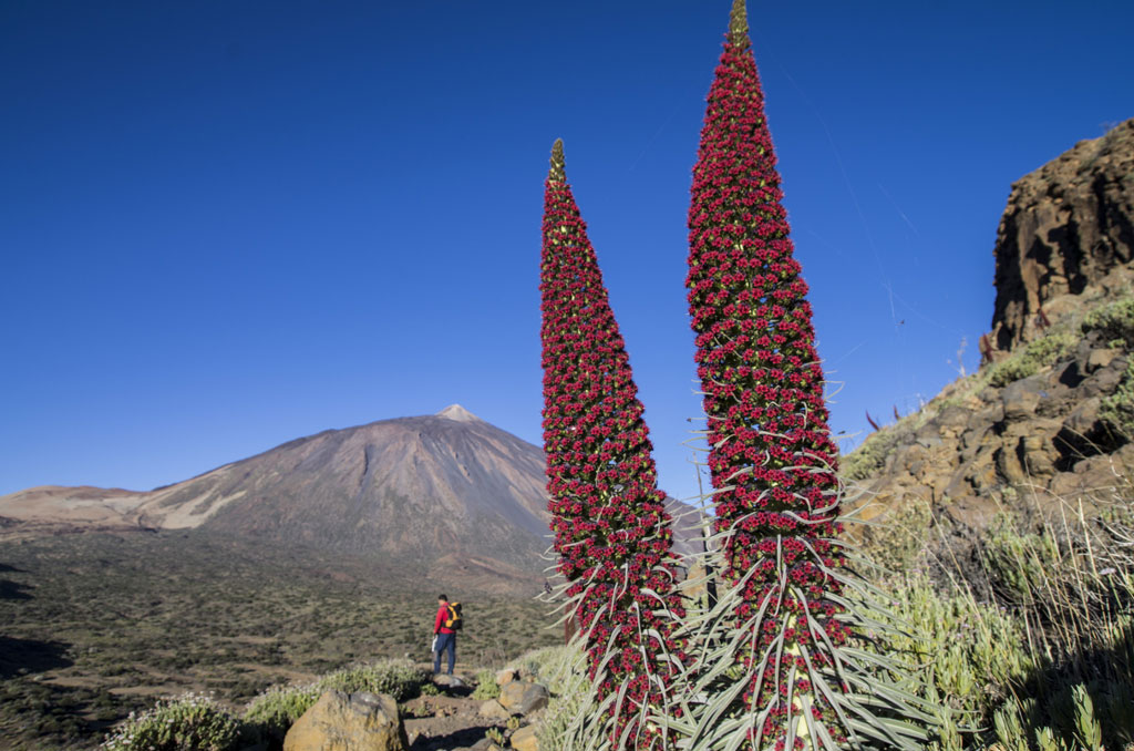
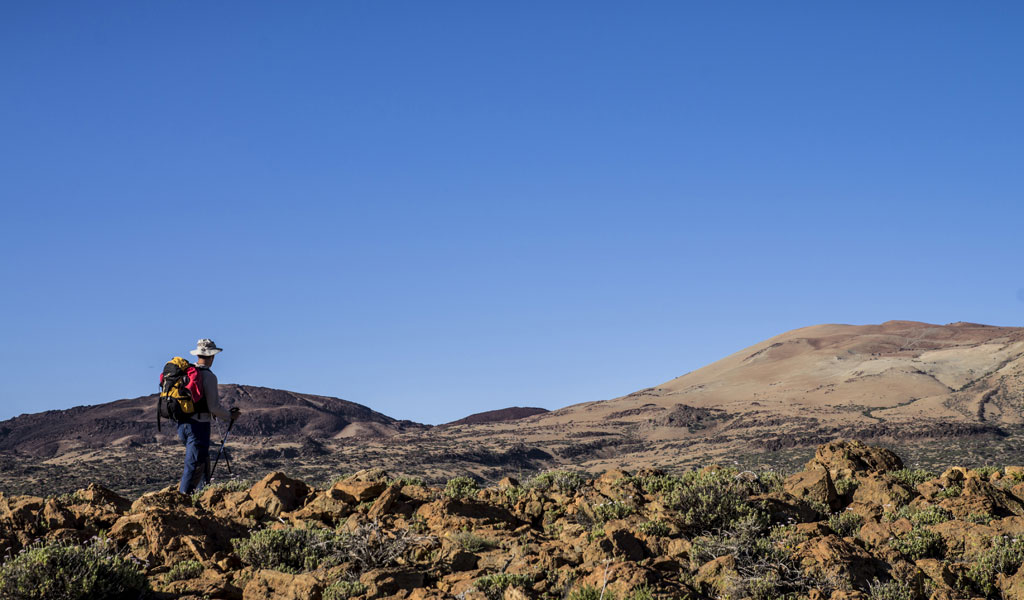
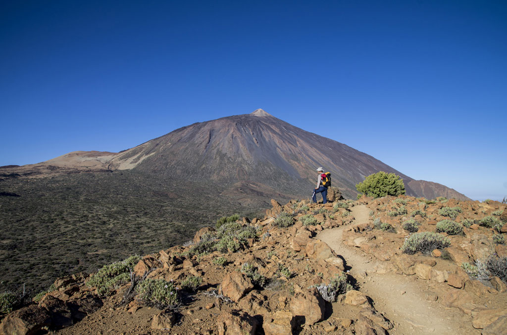
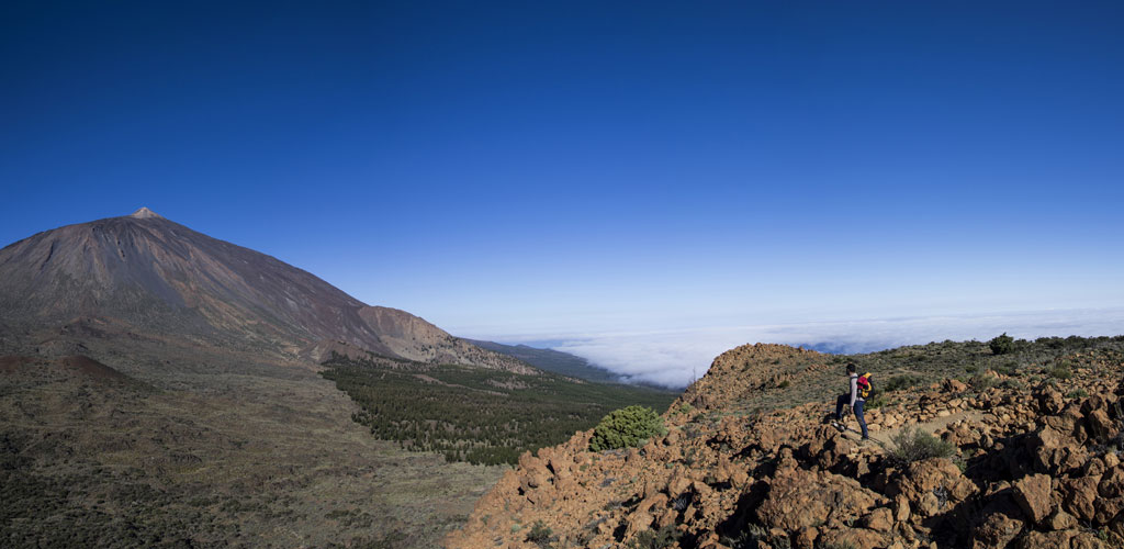
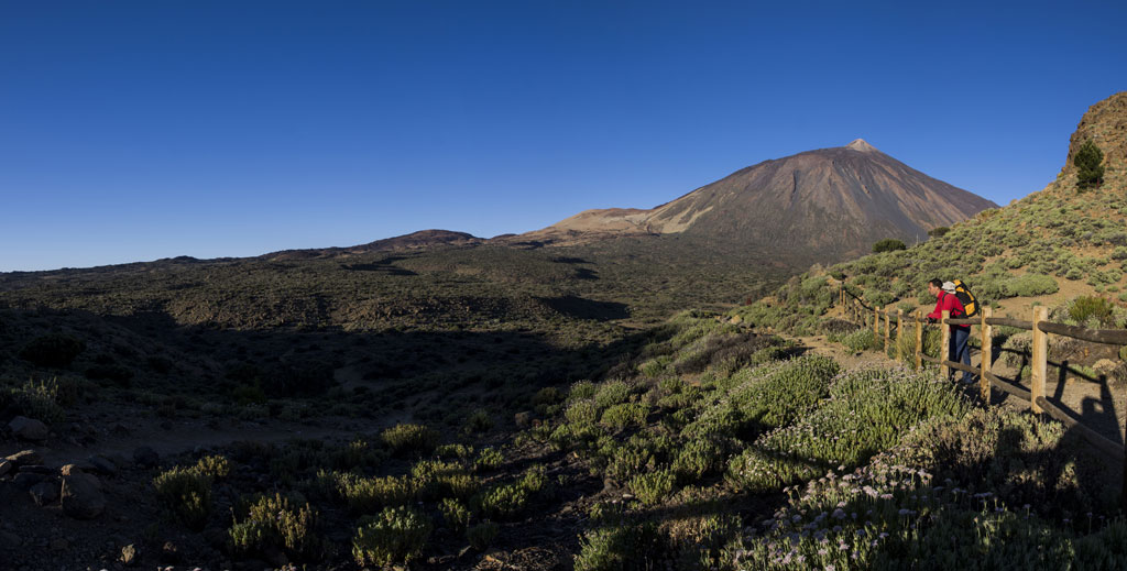
This is a circular trail that forms a sort of crown around Alto de La Fortaleza. It starts in Degollada del Cedro, between La Fortaleza and El Cabezón, and crosses the plateau of Alto de La Fortaleza. In the evening, this is a great walk for watching the sun set behind the island of La Palma, highlighting its dark silhouette against the horizon. You will also see the dense Canarian pine forest covering the ground all the way from the back of La Fortaleza to the foothills of the Teno Mountain Range, following the peaks of Abeque. Here, the vegetation has grown stunted but nonetheless produces bright colours in spring. Most of the species are more typically found in the Canarian mountains than in the neighbouring pine forests. The southern stretch of the trail travels past the rock face of La Fortaleza. Once you reach the highest point of the trail (2,135 m - 7,005 ft ASL), you will be able to peer out over a privileged balcony standing some 100 m (330 ft) above La Cañada de Los Guancheros, which opens out beneath you. From here, the view of El Teide is simply spectacular.
Hypsometry
For your own safety, don't forget to check the condition of the trail.
The competent authority will be responsible for informing you if the trail is not recommendable in the wake of adverse weather conditions, as well as if the trail or part of it is closed, etc.
- Competent authority: Teide National Park
- About the competent authority: 36. Alto de La Fortaleza
![]() In case of an emergency, call 112.
In case of an emergency, call 112.
Download FRESS 112, available for iOS and Android
Weather Today
Maximum: 19º
Minimum: 13º
Orotava (La). It will drizzle on Saturday morning. In the afternoon there will be light, fine, continuous rain-fall. At night there will be middle and high cloud cover. Temperatures will drop mildly.