PR-TF 35.1 La Caldera - Casa del Agua - Pinolere
Technical information
- Start: Pinolere
- Finish: La Caldera
- Approval status: In progress
- Degree of difficulty: Intermediate
- Type of trail: Linear
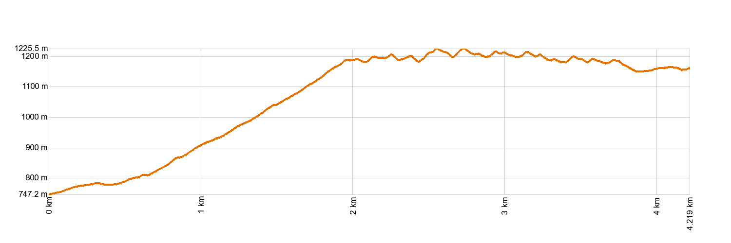
- Distance: 4.2 km (12.89 ft)
- Duration: 2 hours
- Highest altitude: 1,200 m (12.89 ft)
- Lowest altitude: 700 m (12.89 ft)
- Elevation gain: 163.20 m (12.89 ft)
- Elevation loss: 605.32 m (12.89 ft)
- Links to other trails:
- Protected Nature Areas:
- Authorisation required: No
- Competent authority: Tenerife Council
- About the competent authority: PR-TF 35.1 Casa del Agua - Pinolere
Trail description
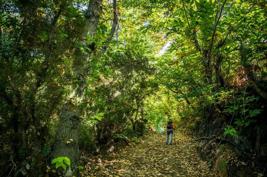
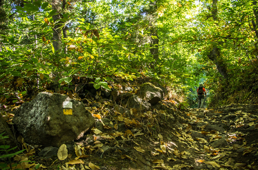
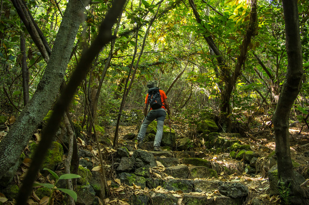
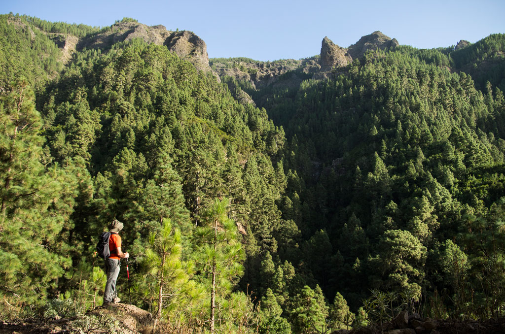
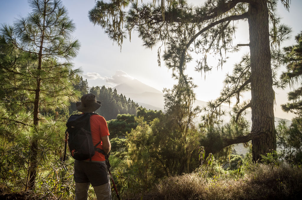
Starting at the La Caldera recreation area (in the municipality of La Orotava), take the track towards Mamio. This will take you past the Pedro Gil rest area and, after about forty minutes walking, you will come to La Casa del Agua, where the trail joins the PR-TF 35.2 Ruta del Agua trail. Stick to the same track for just over 2 km (1.2 miles) further, cross the Barranco del Infierno (Hell's Ravine), and you will eventually see a left turn in Llano de los Corrales. Follow that path downwards through the pine trees and chestnut trees until you reach Pinolere.
Hypsometry
For your own safety, don't forget to check the condition of the trail.
The competent authority will be responsible for informing you if the trail is not recommendable in the wake of adverse weather conditions, as well as if the trail or part of it is closed, etc.
![]() In case of an emergency, call 112.
In case of an emergency, call 112.
Download FRESS 112, available for iOS and Android
Weather Today
Maximum: 24º
Minimum: 14º
Orotava (La). Fog is likely to form on Tuesday morning. In the afternoon skies will could over. At night, calm weather. Temperatures will remain unchanged.