PR-TF 56 El Palmar - Cumbre de Bolico
Technical information
- Start: El Palmar
- Finish: Casas de la Cumbre
- Approval status: Approved
- Degree of difficulty: Intermediate
- Type of trail: Linear
- Distance: 5.5 km (12.89 ft)
- Duration: 2 hours 30 mins.
- Highest altitude: 1,154 m (12.89 ft)
- Lowest altitude: 509 m (12.89 ft)
- Elevation gain: 658.94 m (12.89 ft)
- Elevation loss: 13.94 m (12.89 ft)
- Links to other trails:
- PR-TF 51 San José de Los Llanos - Punta de Teno. Stretch: San José de Los Llanos - Baracán Lookout Point
- PR-TF 52 Erjos - Las Portelas (Monte del Agua)
- PR-TF 52.1 Monte del Agua via Las Huertas
- PR-TF 52.2 Monte del Agua via Las Lagunetas
- PR-TF 55 Los Silos - Talavera - El Palmar
- PR-TF 59 Las Portelas - Masca
- Protected Nature Areas:
- Authorisation required: No
- Competent authority: Tenerife Council
- About the competent authority: PR-TF 56 El Palmar - Cumbre de Bolico
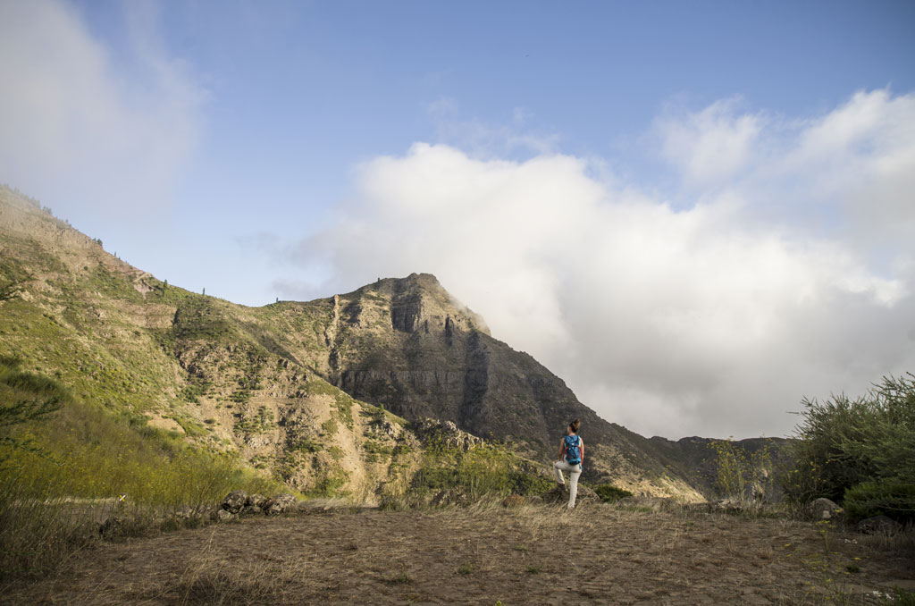
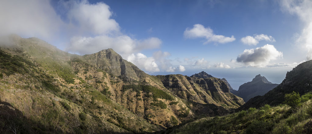
Trail description
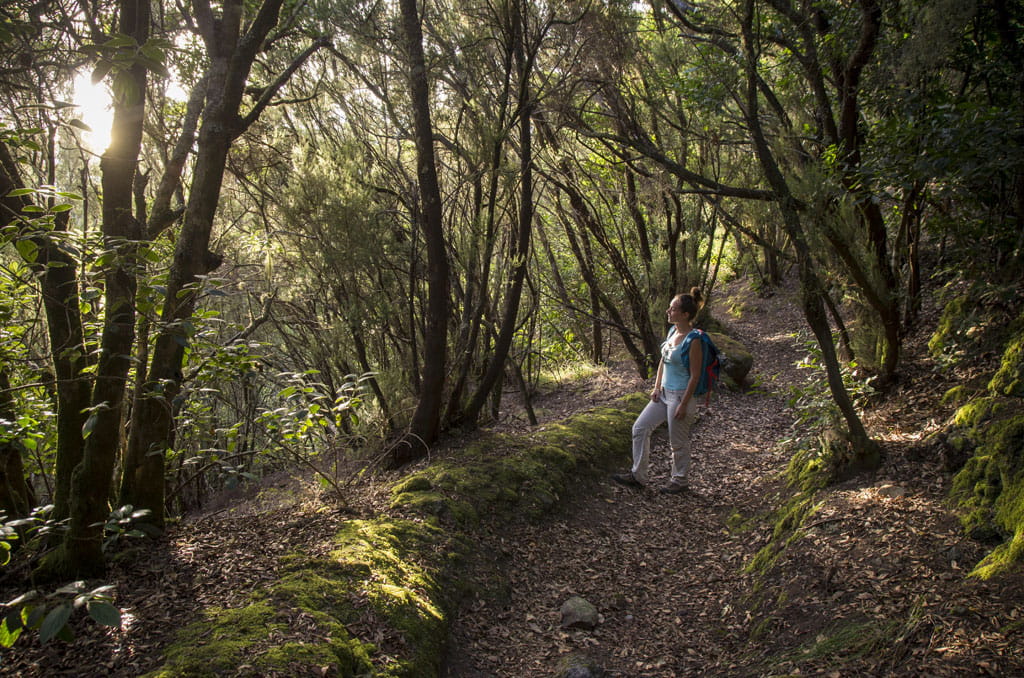
The trail starts in El Palmar (Las Canales, in the municipality of Buenavista del Norte). It heads south along Calle El Risquete before continuing on to Calle Susana to Las Huertas. From here, head towards Las Lagunetas along Camino Lomo Olivera. Then take Calle La Cruz, which turns into an earth path and then into a footpath that leads to Portela Baja and Portela Alta along the Royal Pathway. Carry on along Las Barreras, past the Bolico Hostel and into the Monteverde woodland, before rejoining the Bolico track. You will end your journey at Las Casas de La Cumbre, which are a series of old houses on the edge of the El Bolico estate.
Hypsometry

For your own safety, don't forget to check the condition of the trail.
The competent authority will be responsible for informing you if the trail is not recommendable in the wake of adverse weather conditions, as well as if the trail or part of it is closed, etc.
![]() In case of an emergency, call 112.
In case of an emergency, call 112.
Download FRESS 112, available for iOS and Android
Weather Today
Maximum: 23º
Minimum: 16º
Buenavista del Norte. It will be good weather on Friday morning. In the afternoon, sunny skies. At night there may be patchy showers. Temperatures will remain unchanged.