PR-TF 35.2 Ruta del Agua
Technical information
WARNING! Trail closed. Walking here is not permitted.
- Start: Mamio Track
- Finish: Casa del Agua
- Approval status: Not officially approved
- Degree of difficulty: Low
- Type of trail: Circular
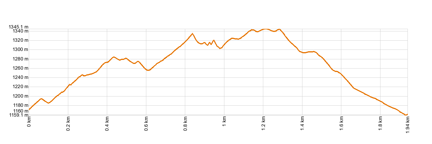
- Distance: 1.9 km (12.89 ft)
- Duration: 2 hours
- Highest altitude: 1,334 m (12.89 ft)
- Lowest altitude: 1,148 m (12.89 ft)
- Elevation gain: 275.62 m (12.89 ft)
- Elevation loss: 284.79 m (12.89 ft)
- Links to other trails:
- Protected Nature Areas:
- Authorisation required: No
Trail description
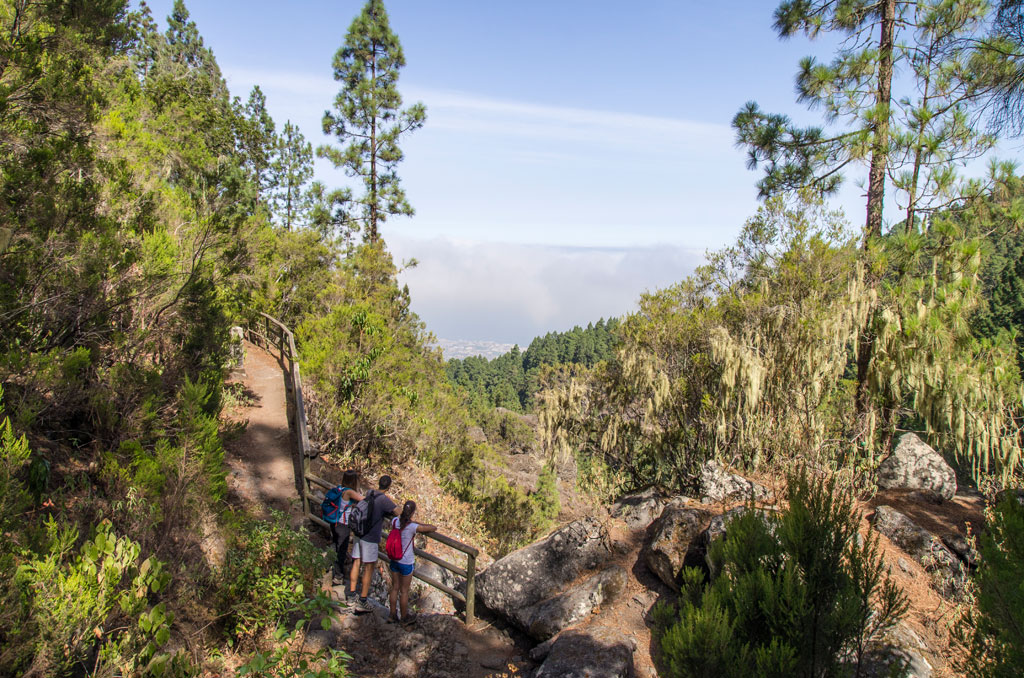
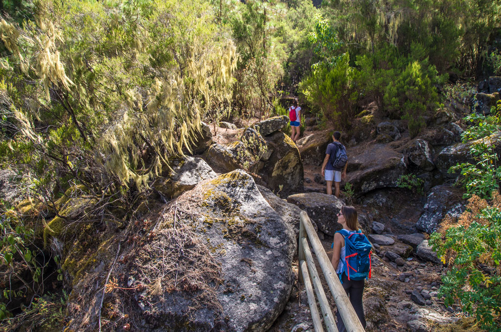
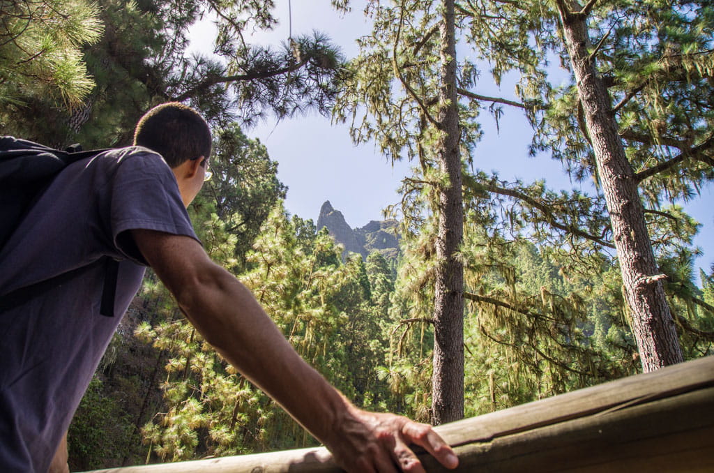
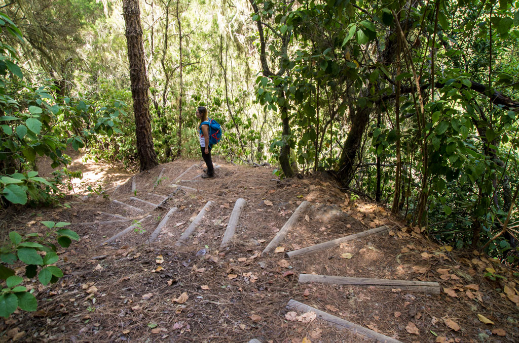
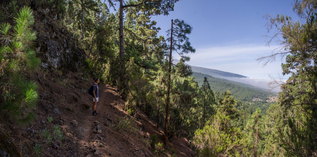
This variant of the PR-TF 35 Mamio – Pinolere trail sets off along the forest track of Mamio, roughly 2 km (1.2 miles) away from the La Caldera recreation area (in the municipality of La Orotava). This round trip will take you past old structures that were used to extract and channel water, before heading back onto the forest track at the point where “La Casa del Agua” stands. This is the building where the channelled water used to be shared out among different land owners.
Hypsometry
For your own safety, don't forget to check the condition of the trail.
The competent authority will be responsible for informing you if the trail is not recommendable in the wake of adverse weather conditions, as well as if the trail or part of it is closed, etc.
- Competent authority: Tenerife Council
- About the competent authority: PR-TF 35.2 Ruta del Agua
![]() In case of an emergency, call 112.
In case of an emergency, call 112.
Download FRESS 112, available for iOS and Android
Weather Today
Maximum: 25º
Minimum: 19º
Orotava (La). Isolated showers will occur on Friday morning. In the afternoon the weather will be fine. At night clouds will alternate with clear skies. Temperatures will raise mildly.