PR-TF 40 Tigaiga Mountainside
Technical information
- Start: El Realejo Alto
- Finish: El Realejo Alto
- Approval status: In progress
- Degree of difficulty: Intermediate
- Type of trail: Circular
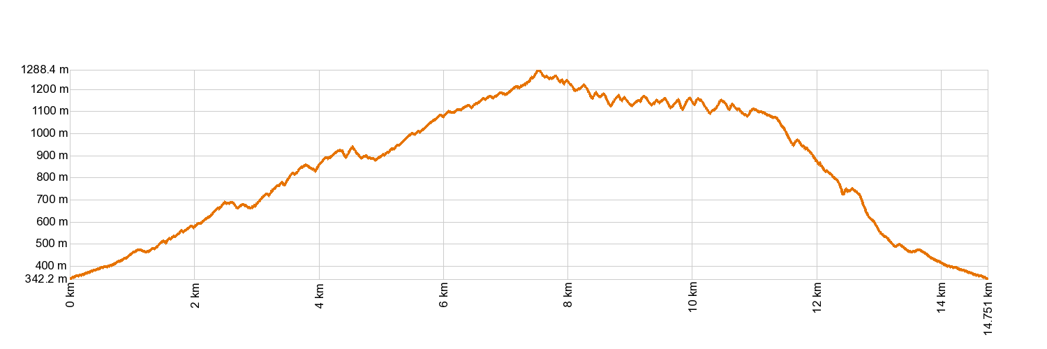
- Distance: 14.4 km (12.89 ft)
- Duration: 7 hours 30 mins.
- Highest altitude: 1,269 m (12.89 ft)
- Lowest altitude: 350 m (12.89 ft)
- Elevation gain: 1,390.52 m (12.89 ft)
- Elevation loss: 1,390.52 m (12.89 ft)
- Links to other trails:
- Protected Nature Areas:
- Authorisation required: No
- Competent authority: Tenerife Council
- About the competent authority: PR-TF 40 Tigaiga Mountainside
Trail description
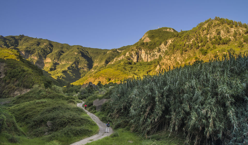
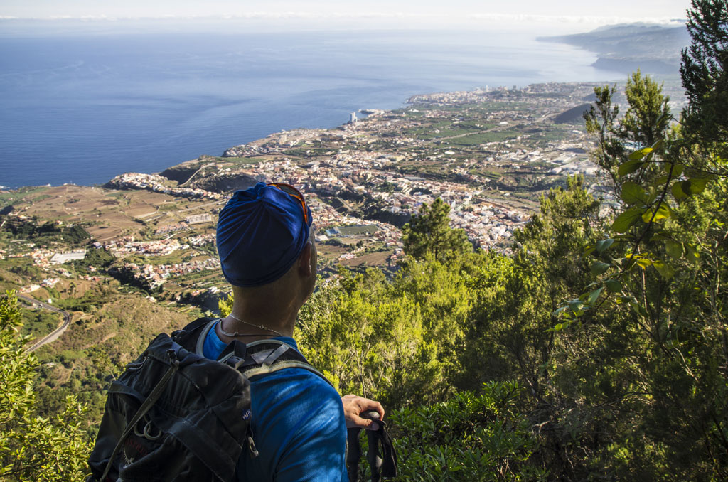
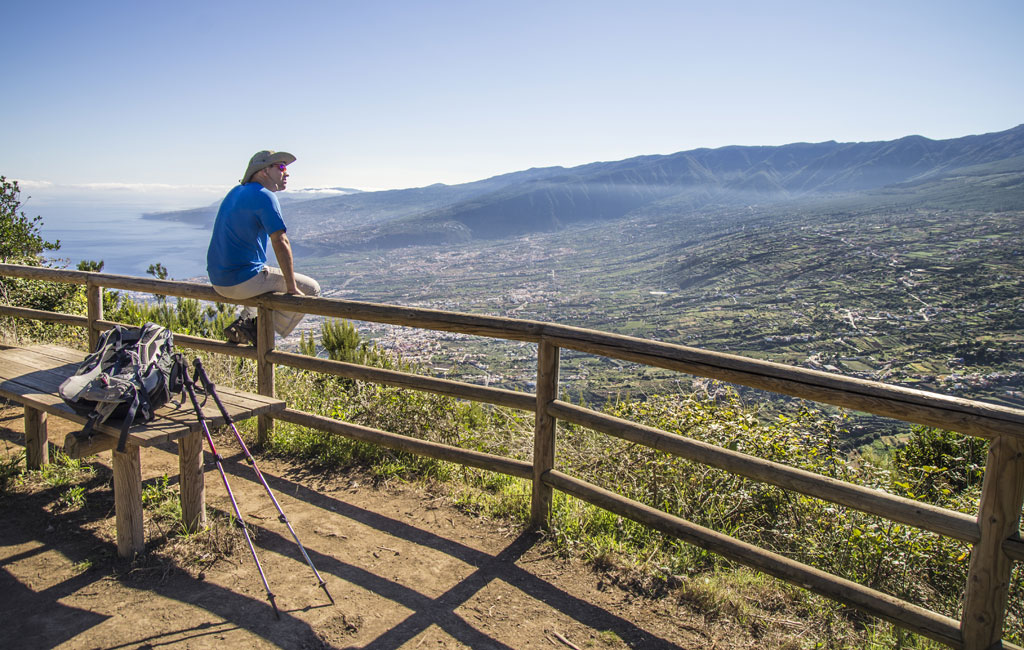
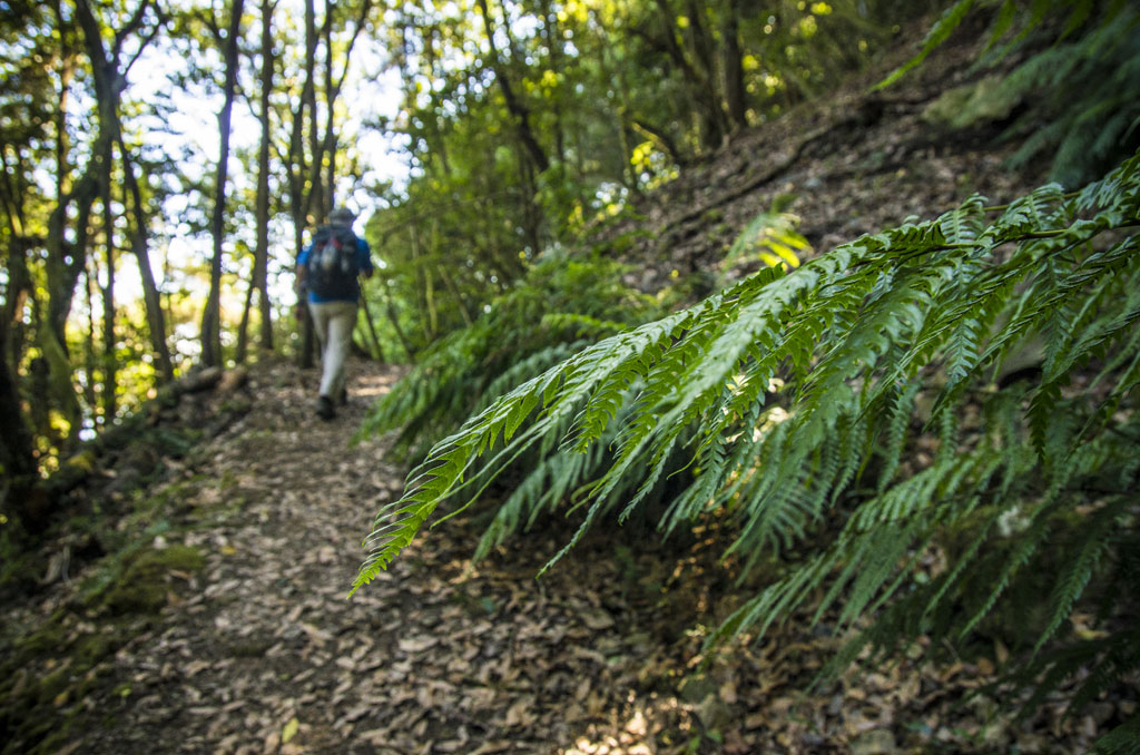
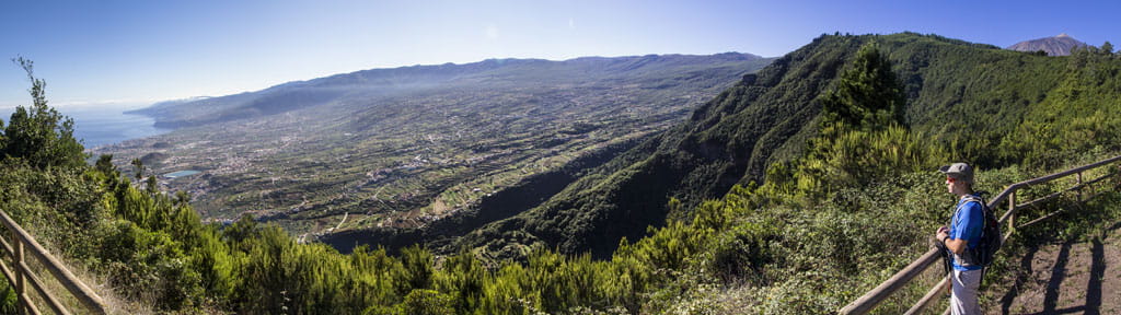
The trail begins in the square outside the church of Santiago Apóstol in Realejo Alto (in the municipality of Los Realejos) and follows the route of the La Lora ravine. From there, the trail climbs through the Monteverde greenery and through the lush landscape of Til de los Pavos to the Chanajiga recreation area. You will then continue along the densely vegetated footpath of El Guarda to the El Asomadero lookout point, where the descent towards the La Lora ravine begins. After that, the trail takes you back the way you set off to the square of Santiago Apóstol.
Hypsometry
For your own safety, don't forget to check the condition of the trail.
The competent authority will be responsible for informing you if the trail is not recommendable in the wake of adverse weather conditions, as well as if the trail or part of it is closed, etc.
![]() In case of an emergency, call 112.
In case of an emergency, call 112.
Download FRESS 112, available for iOS and Android
Weather Today
Maximum: 22º
Minimum: 16º
Realejos (Los). There will be spells of heavy rain on Friday morning. In the afternoon, calm weather. At night, clear with cloudy periods. Mild temperature dropping.