GR 131 Anaga - Chasna. Stretch: La Caldera Recreation Area - El Portillo
Technical information
- Start: La Caldera
- Finish: El Portillo
- Approval status: In progress
- Degree of difficulty: Intermediate
- Type of trail: Linear
- Distance: 13.1 km (12.89 ft)
- Duration: 5 hours 40 mins
- Highest altitude: 2,033 m (12.89 ft)
- Lowest altitude: 944 m (12.89 ft)
- Elevation gain: 1,187.50 m (12.89 ft)
- Elevation loss: 347.49 m (12.89 ft)
- Links to other trails:
- Protected Nature Areas:
- Authorisation required: No
- Competent authority: Tenerife Council
- About the competent authority: GR 131 Anaga - Chasna. Stretch: La Caldera Recreation Area - El Portillo
Trail description
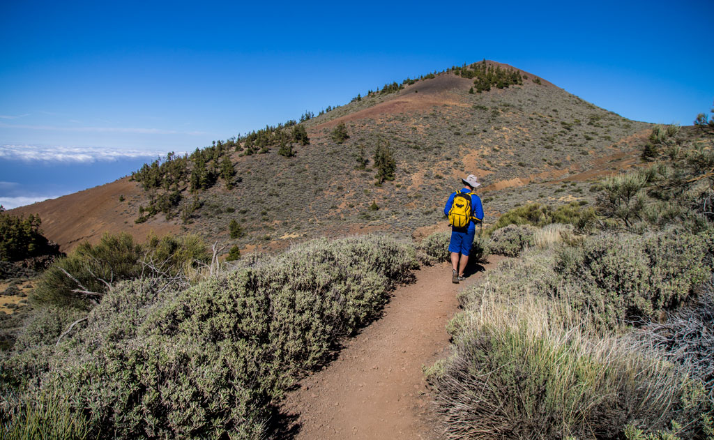
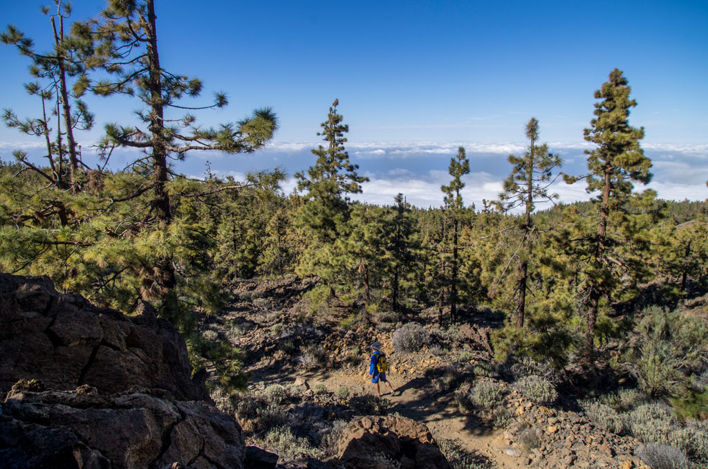
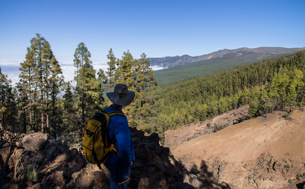
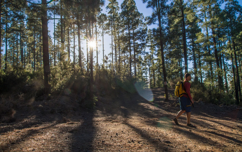
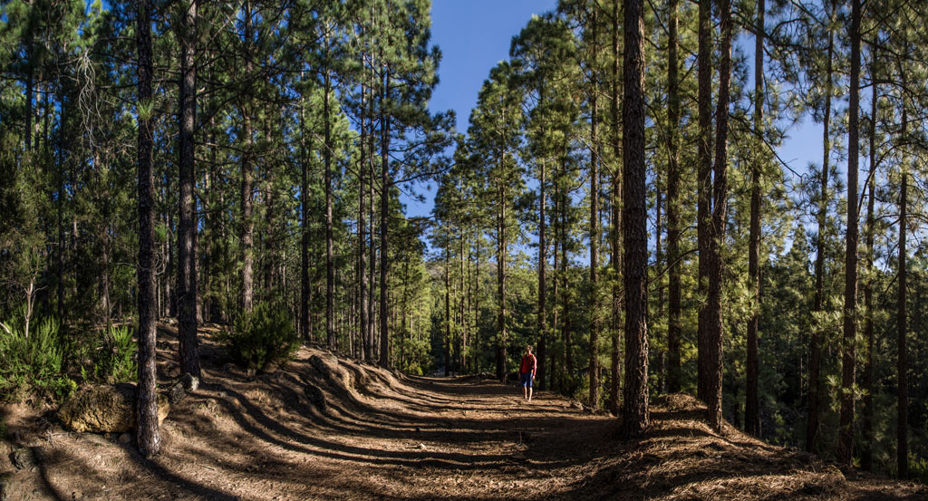
The journey begins by taking the footpath that sets off from the car park by the Recreation Area of La Caldera. Follow that footpath until it merges with the SL-TF 81 Camino de La Orilla del Monte and carry on through a dense pine forest. Once you come to Cruz del Dornajito, the trail will guide you along stretches of a track to reach the old Royal Pathway of Chasna, which travels upwards to the El Portillo crossroads. There, you will find the El Portillo Visitors Centre, which lies inside Teide National Park.
Hypsometry

For your own safety, don't forget to check the condition of the trail.
The competent authority will be responsible for informing you if the trail is not recommendable in the wake of adverse weather conditions, as well as if the trail or part of it is closed, etc.
![]() In case of an emergency, call 112.
In case of an emergency, call 112.
Download FRESS 112, available for iOS and Android
Weather Today
Maximum: 22º
Minimum: 18º
Orotava (La). Mostly clear skies, but more cloud cover will develop on Thursday morning. In the afternoon there will be middle and high cloud cover. At night, thin high cloud. Mild temperature dropping.