GR 131 Anaga - Chasna. Stretch: La Esperanza - La Caldera Recreation Area
Technical information
- Start: La Esperanza
- Finish: La Caldera
- Approval status: In progress
- Degree of difficulty: Very high
- Type of trail: Linear
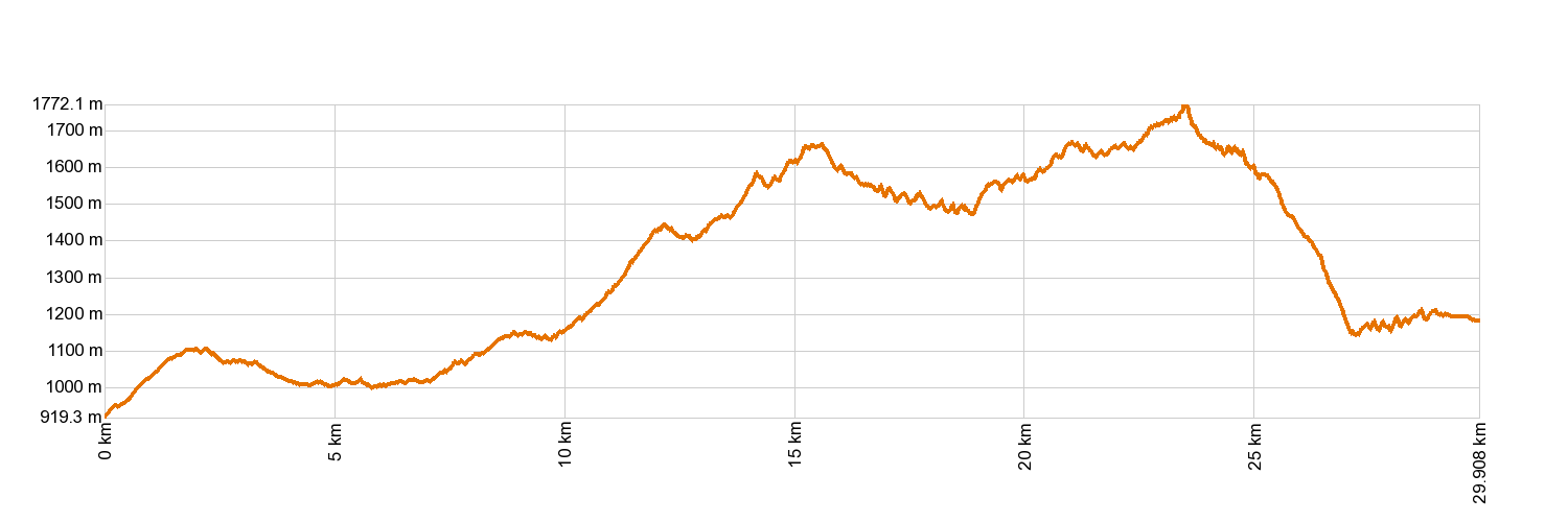
- Distance: 29.8 km (12.89 ft)
- Duration: 14 hours 20 mins
- Highest altitude: 1,819 m (12.89 ft)
- Lowest altitude: 915 m (12.89 ft)
- Elevation gain: 1,853.18 m (12.89 ft)
- Elevation loss: 1,568.18 m (12.89 ft)
- Links to other trails:
- Protected Nature Areas:
- Authorisation required: No
- Competent authority: Tenerife Council
- About the competent authority: GR 131 Anaga - Chasna. Stretch: La Esperanza - La Caldera Recreation Area
Trail description
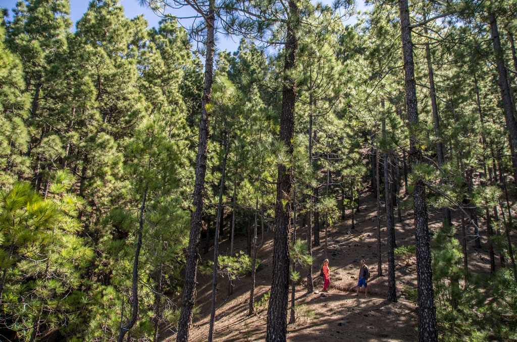
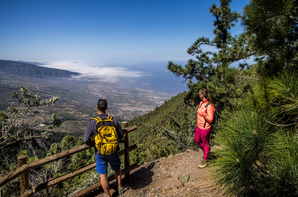
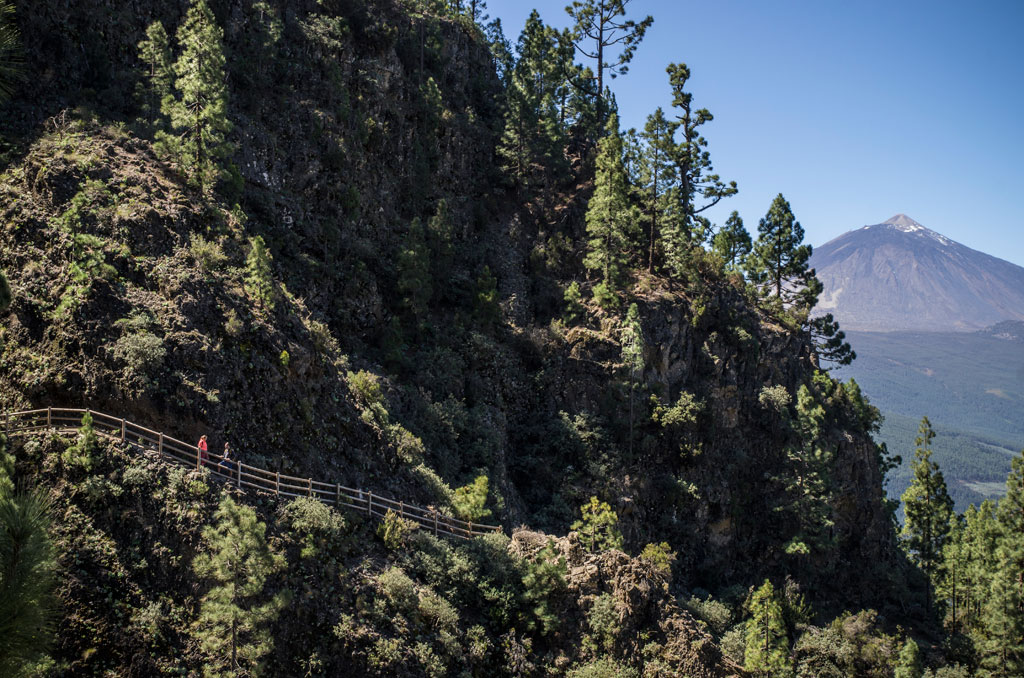
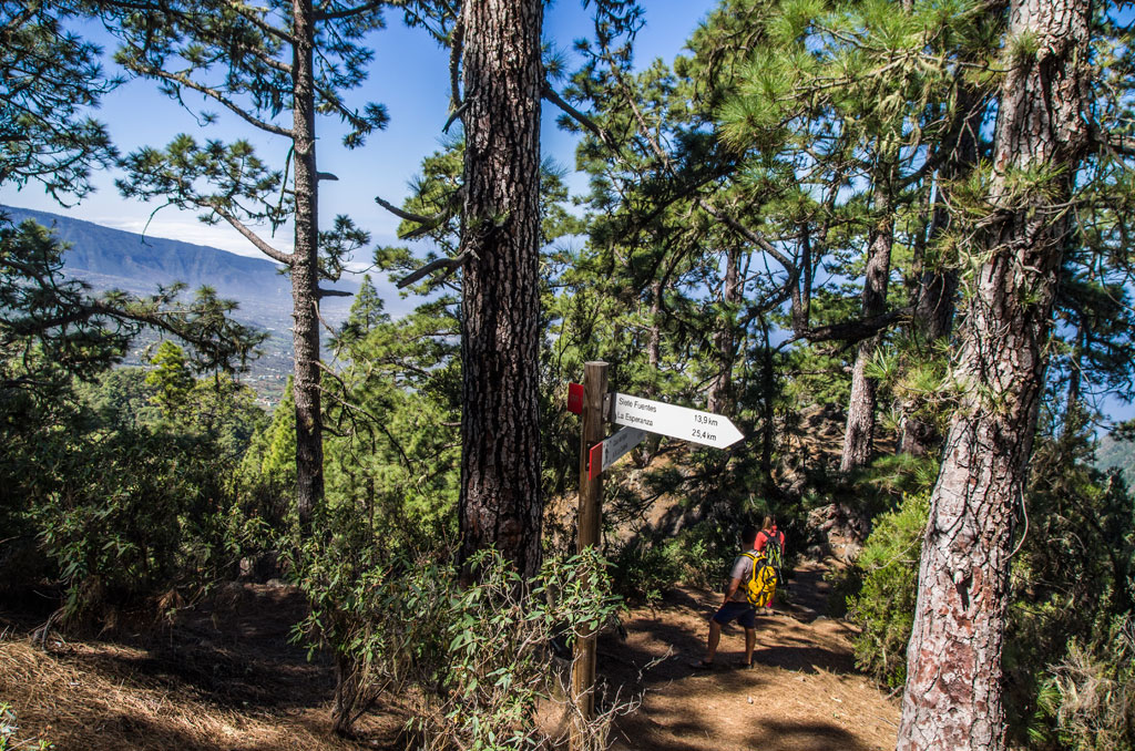
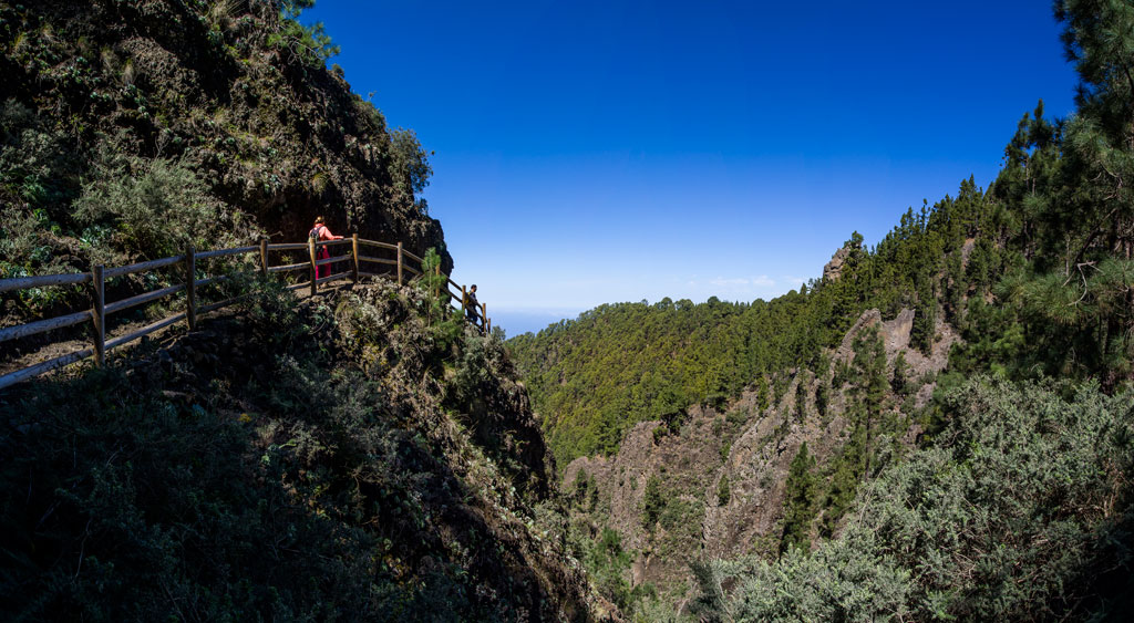
This GR trail sets off from the town of La Esperanza. If you walk through the woods of El Adelantado and along Calle Grano de Oro, you will come to the El Rayo track. Follow it to the track of Las Barranqueras and join that track to Cruz de Fune. The trail then alternates stretches of forest tracks and footpaths until you come to the Siete Fuentes resting area. After that, get ready for a tough climb. Once you reach the highest altitude levels, the trail guides you around ravines under the shade of the pine trees to a forest track, which takes you to El Portillo del Topo. There, it joins the short trail of PR-TF 35 Mamio Pinolere to reach the La Caldera Recreation Area. If you plan on camping, you can apply for authorisation to camp at the Recreation Area of La Caldera on www.tenerife.es.
Hypsometry
For your own safety, don't forget to check the condition of the trail.
The competent authority will be responsible for informing you if the trail is not recommendable in the wake of adverse weather conditions, as well as if the trail or part of it is closed, etc.
![]() In case of an emergency, call 112.
In case of an emergency, call 112.
Download FRESS 112, available for iOS and Android
Weather Today
Maximum: 25º
Minimum: 16º
Rosario (El). Totally clear blue skies on Wednesday morning. As the hours pass by, calm weather. Temperatures will remain unchanged.