PR-TF 40.1 Camino Punta del Risco
Technical information
- Start: Camino de Las Traviesas
- Finish: Punta del Risco
- Approval status: In progress
- Degree of difficulty: Intermediate
- Type of trail: Linear
- Distance: 1.3 km (12.89 ft)
- Duration: 1 hour
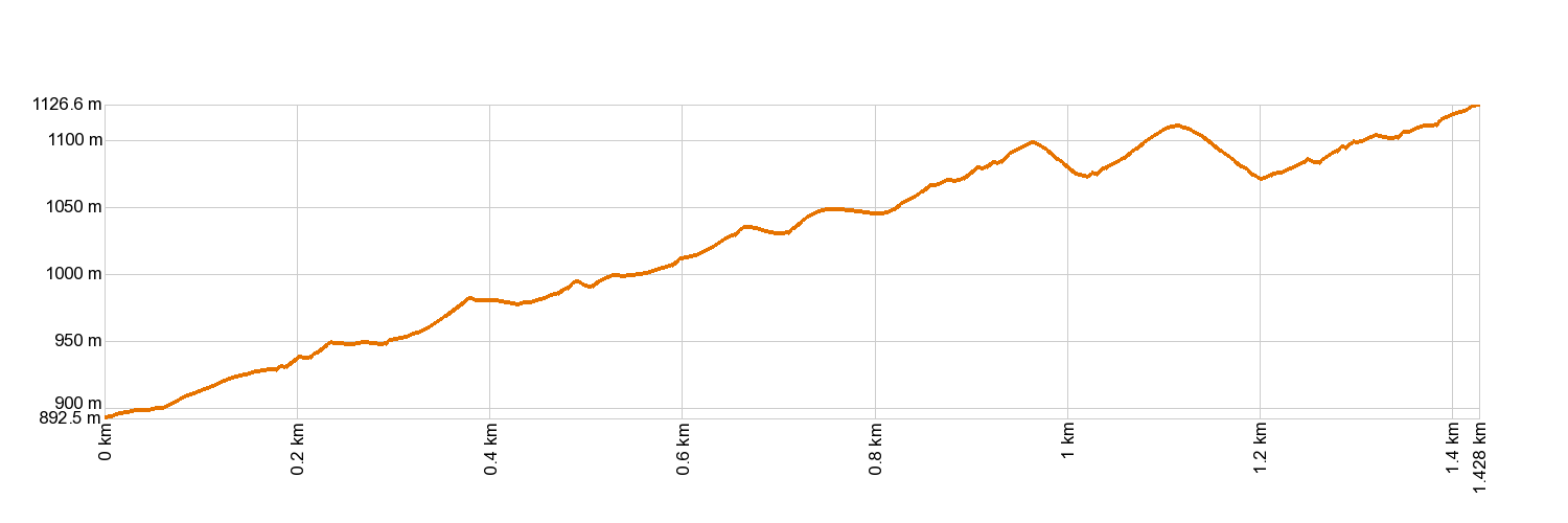
- Highest altitude: 1,142 m (12.89 ft)
- Lowest altitude: 871 m (12.89 ft)
- Elevation gain: 322.66 m (12.89 ft)
- Elevation loss: 52.12 m (12.89 ft)
- Links to other trails:
- Protected Nature Areas:
- Authorisation required: No
- Competent authority: Tenerife Council
- About the competent authority: PR-TF 40.1 Camino Punta del Risco
Trail description
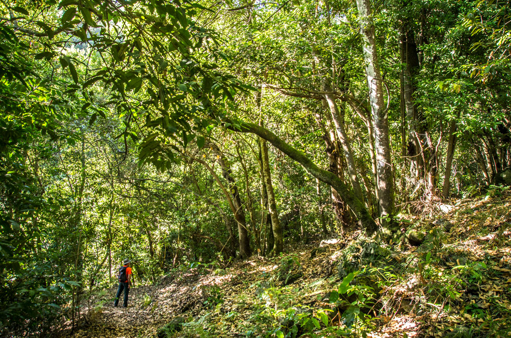
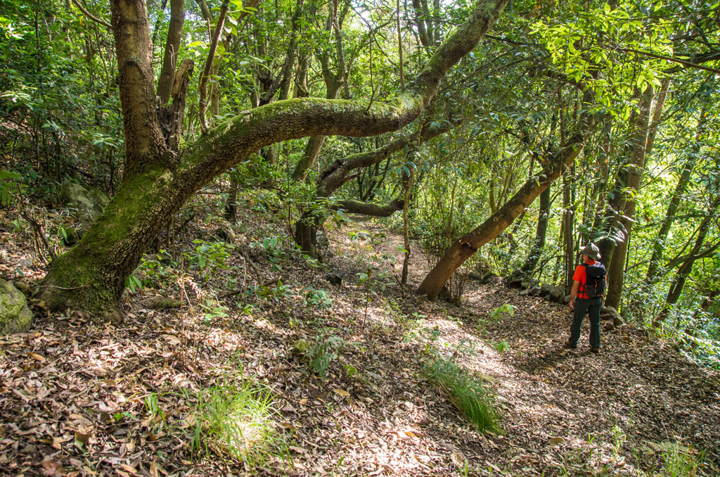
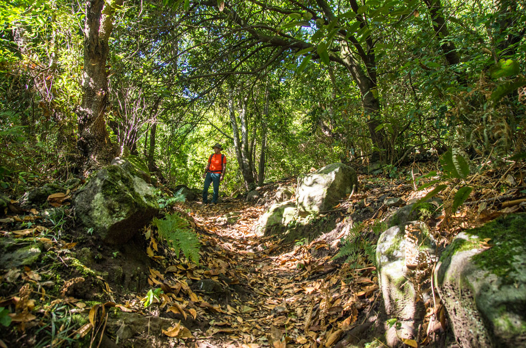
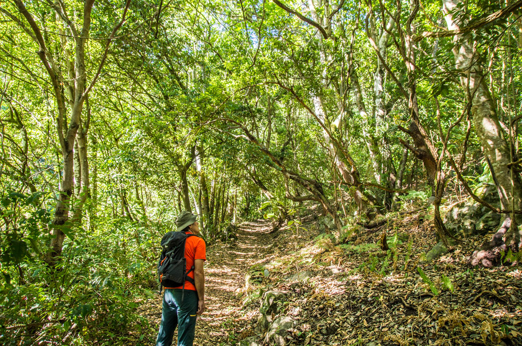
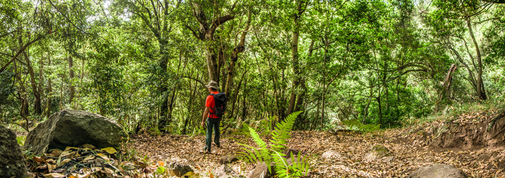
If you take the PR-TF 40 Punta del Risco pathway from Realejo Alto (in the municipality of El Realejo), you will come to the beginning of this short variant at the point where the La Calera ravine crosses Camino de las Traviesas. From there, carry on gently up the mountainside through the rich Monteverde vegetation. You will then reach the PR-TF 40 Punta del Risco pathway on the Pino Llorón track at the point known as Punta del Risco.
Hypsometry
For your own safety, don't forget to check the condition of the trail.
The competent authority will be responsible for informing you if the trail is not recommendable in the wake of adverse weather conditions, as well as if the trail or part of it is closed, etc.
![]() In case of an emergency, call 112.
In case of an emergency, call 112.
Download FRESS 112, available for iOS and Android
Weather Today
Maximum: 22º
Minimum: 16º
Realejos (Los). There may be patchy showers on Friday morning. In the afternoon it will be good weather. At night, clear with cloudy periods. Mild temperature dropping.