PR-TF 86 Town of Arico - Peaks of Arico
Technical information
- Start: Villa de Arico
- Finish: National Parador hotel
- Approval status: In progress
- Degree of difficulty: Very high
- Type of trail: Linear
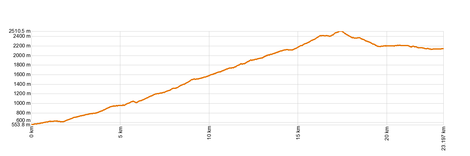
- Distance: 23.0 km (12.89 ft)
- Duration: 10 hours
- Highest altitude: 2,512 m (12.89 ft)
- Lowest altitude: 545 m (12.89 ft)
- Elevation gain: 2,202.04 m (12.89 ft)
- Elevation loss: 611.9 m (12.89 ft)
- Links to other trails:
- Protected Nature Areas:
- Authorisation required: No
- Competent authority: Tenerife Council
- About the competent authority: PR-TF 86 Town of Arico - Peaks of Arico
Trail description
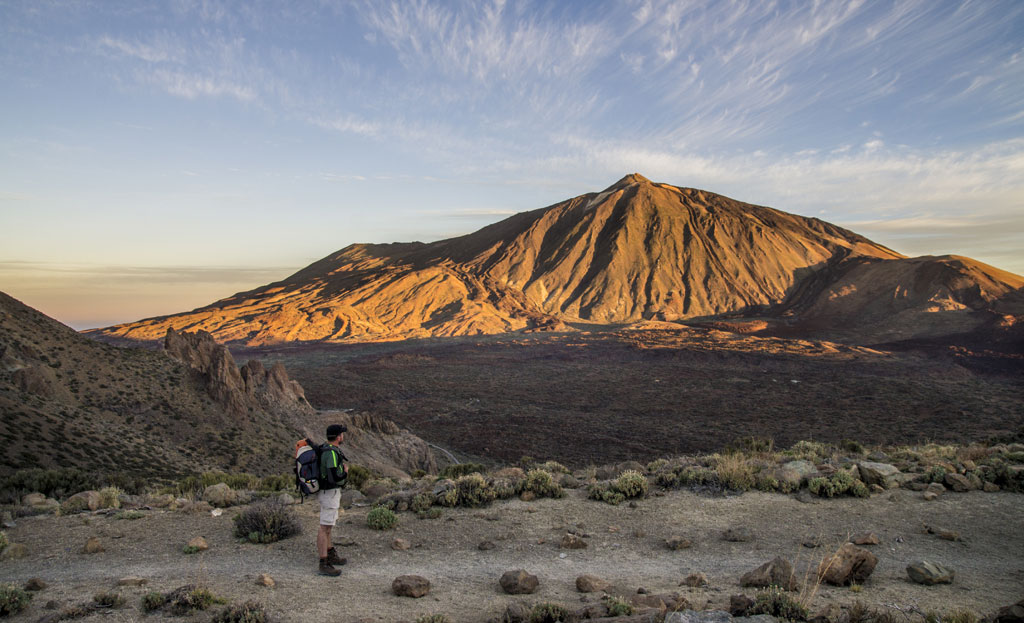
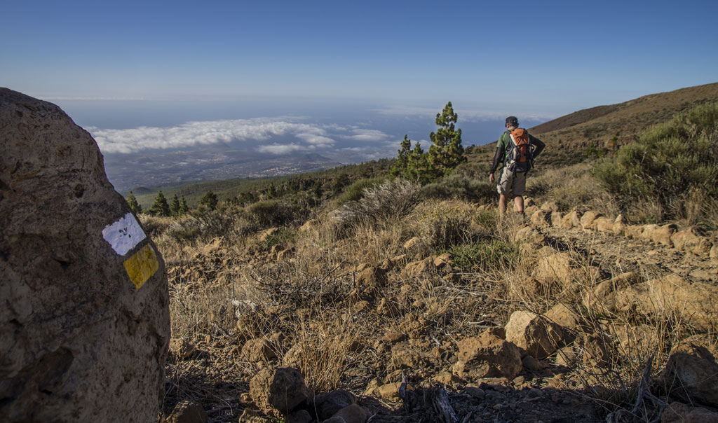
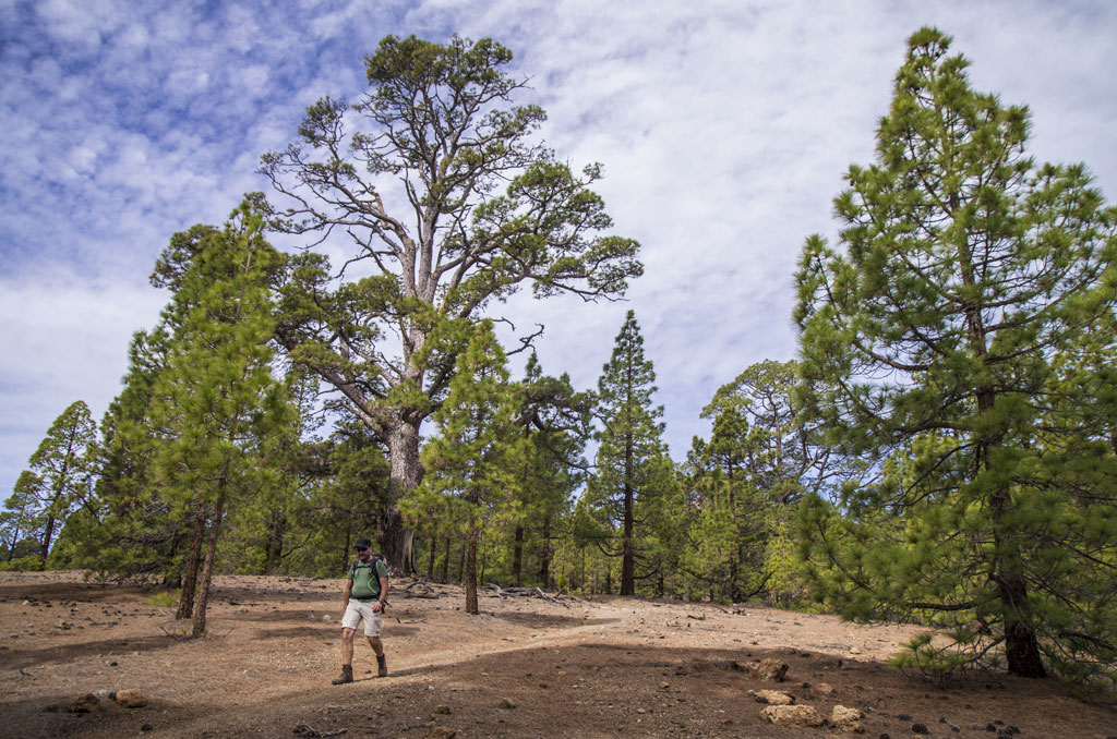
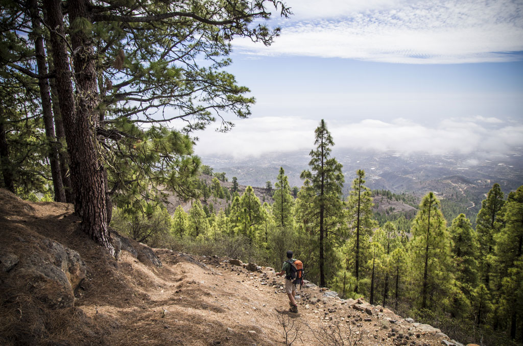
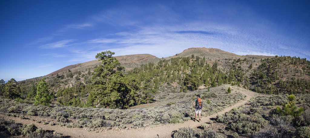
Starting from the town of Villa de Arico, this trail journeys amidst farming allotments and out into the pine forest near Ortiz and the La Puente rock climbing area. Walk on along the ridge named Lomo del Pino de La Linda and across the Río Contador ravine to reach the houses and recreation area of El Contador. A little further on, you will pass Morro El Peñón and the old Forest House. The trail will take you across the main Arico track four times before reaching Chozas Viejas, an old shepherds' stopping place. From here, you will head up towards the peak and join the El Filo pathway, which takes you to Degollada de Guajara and leaves you at the Parador Hotel.
Hypsometry
For your own safety, don't forget to check the condition of the trail.
The competent authority will be responsible for informing you if the trail is not recommendable in the wake of adverse weather conditions, as well as if the trail or part of it is closed, etc.
![]() In case of an emergency, call 112.
In case of an emergency, call 112.
Download FRESS 112, available for iOS and Android
Weather Today
Maximum: 23º
Minimum: 17º
Arico. Sunny skies all Thursday long. Temperatures will remain unchanged.