PR-TF 35 La Caldera - Mamio - La Caldera
Technical information
WARNING! Trail closed. Walking here is not permitted.
- Start: La Caldera
- Finish: La Caldera
- Approval status: In progress
- Degree of difficulty: Low
- Type of trail: Circular
- Distance: 5.7 km (12.89 ft)
- Duration: 2 hours 30 mins.
- Highest altitude: 1,200 m (12.89 ft)
- Lowest altitude: 1,000 m (12.89 ft)
- Elevation gain: 215.10 m (12.89 ft)
- Elevation loss: 215.10 m (12.89 ft)
- Links to other trails:
- Protected Nature Areas:
- Authorisation required: No
- Competent authority: Tenerife Council
- About the competent authority: PR-TF 35 La Caldera - Mamio - La Caldera
Trail description
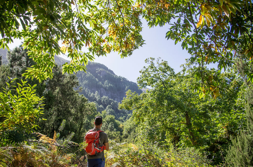
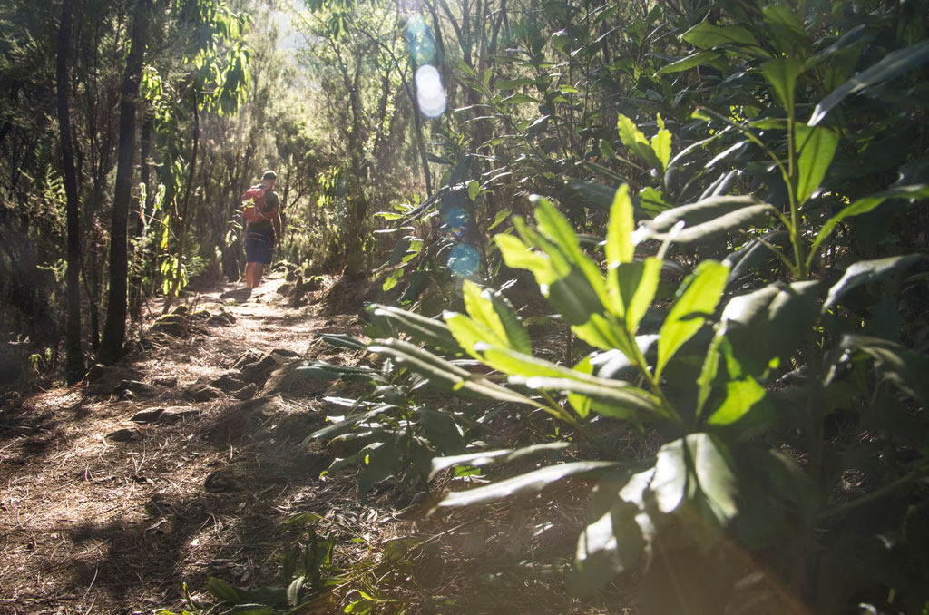
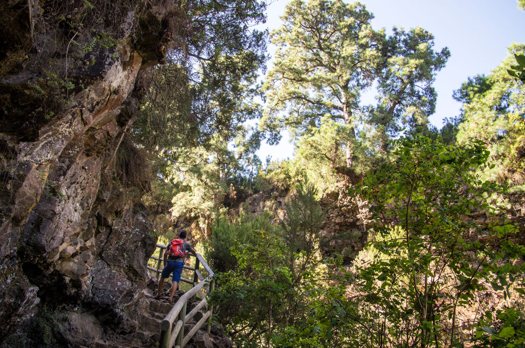
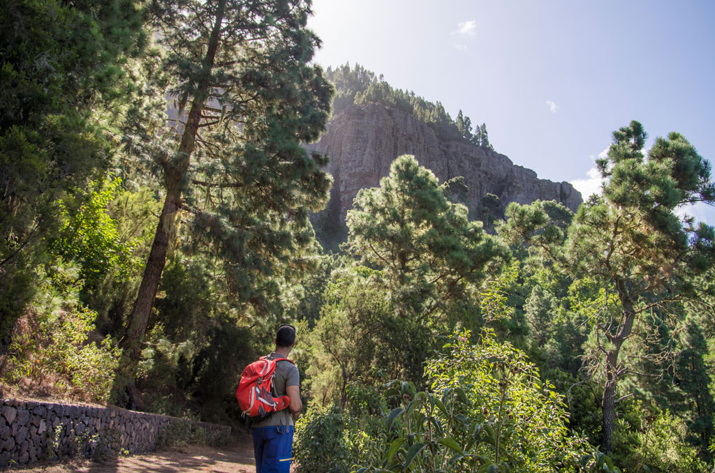
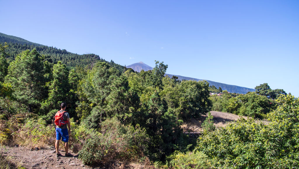
This circular trail starts and ends at the car park in the La Caldera recreation area. From here, it follows part of the Mamio forest track, which is wide with gentle slopes. This stretch coincides with the Long-Distance Trail GR 131 and with cycling and bridal path no. 1 until it reaches the building known as “Casa del Agua”. From here, the trail continues to the left and down towards the village of Mamio, in a setting surrounded by country houses and farmland. It then climbs along the Los Llanos ravine towards the main road, past the Aguamansa environment centre and into the forest, before heading back to the La Caldera recreation area.
Hypsometry

For your own safety, don't forget to check the condition of the trail.
The competent authority will be responsible for informing you if the trail is not recommendable in the wake of adverse weather conditions, as well as if the trail or part of it is closed, etc.
![]() In case of an emergency, call 112.
In case of an emergency, call 112.
Download FRESS 112, available for iOS and Android
Weather Today
Maximum: 23º
Minimum: 14º
Orotava (La). The sky will be covered by high and middle clouds on Wednesday morning. In the afternoon the weather will be fine. At night, partly cloudy to mostly cloudy skies. Temperatures will remain unchanged.