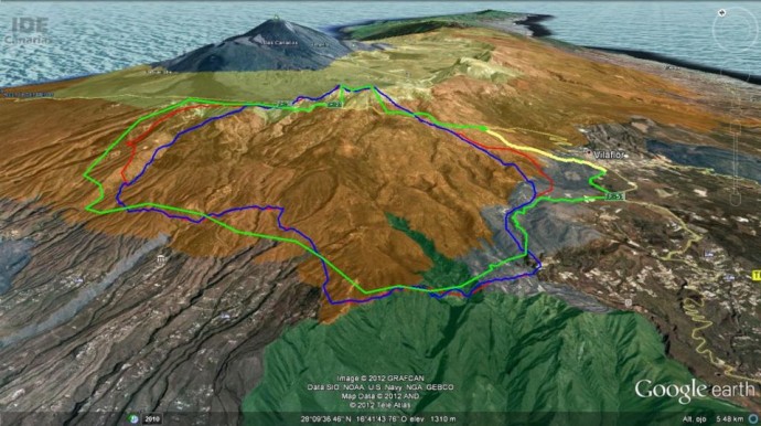
After the information provided before about the evolution of the Tenerife fire , Tenerife Cabildo has decided to block the following roads in order to make easier firefighters impressive work:
- TF 38 (km 22) up to the La Estrella restaurant,
- TF 21 at kilometre 67 (Vilaflor) and kilometer 47 (Parador Nacional),
- TF- 583, in Taucho,
- TF-585 in Tijoco Alto
- TF-567 at kilometre 0, to Ifonche.
- TF – 51 Kilometre 14 to Vilaflor from La Camella at Trevejos and kilometer 11,2 at the cross with TF- 565 from El Roque to La Escalona through Jama
- 563 (pk 7,5) from San Miguel to VilaFlor
You can check the state of the roads in the following link:
http://cic.tenerife.es/e-Traffic3/Control?act=map
Preventive measures taken due to the Tenerife fire remain the folowing being banned:
- any activity in the forrest
- access to recreation areas in the mountains
- driving on forest tracks
- camping in the forrest
During press conferences on Wednesday the evaluation of the situation was: better
The evacuation of Vilaflor and Chirche residents were only preventive measures.
Also due the heat wave we suggest to take into account the following tips if you are in Tenerife
