PR-TF 8 Afur - Taganana - Afur
Technical information
- Start: Afur
- Finish: Afur
- Approval status: In progress
- Degree of difficulty: Intermediate
- Type of trail: Circular
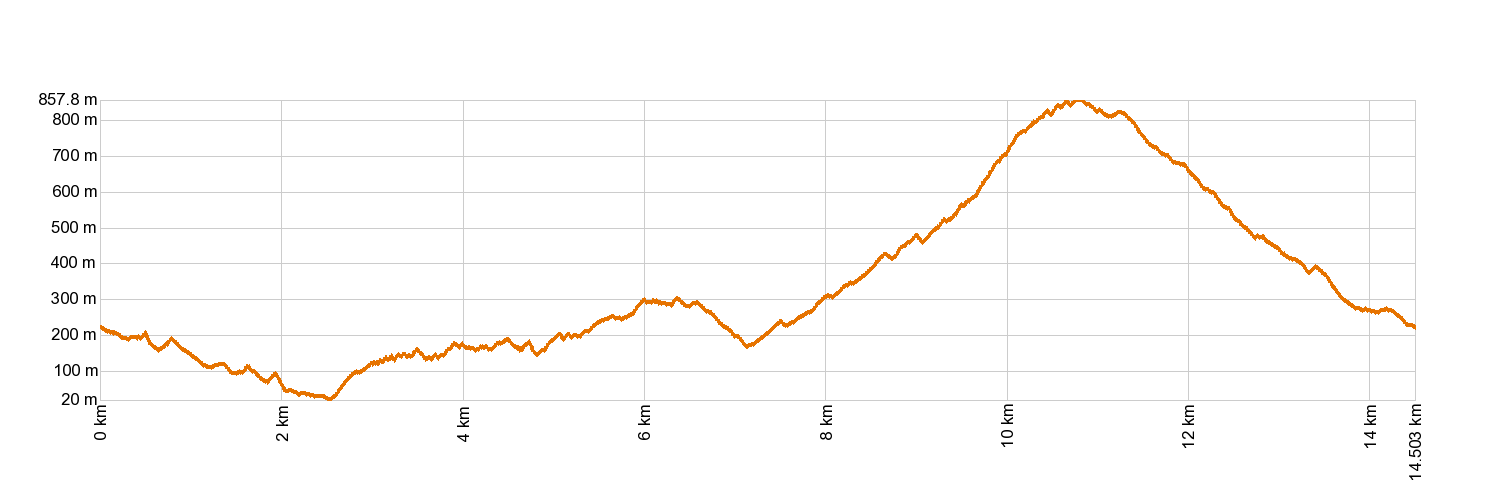
- Distance: 14.3 km (12.89 ft)
- Duration: 7 hours
- Highest altitude: 861 m (12.89 ft)
- Lowest altitude: 0 m (12.89 ft)
- Elevation gain: 1,546.11 m (12.89 ft)
- Elevation loss: 1,546.11 m (12.89 ft)
- Protected Nature Areas:
- Authorisation required: No
Trail description
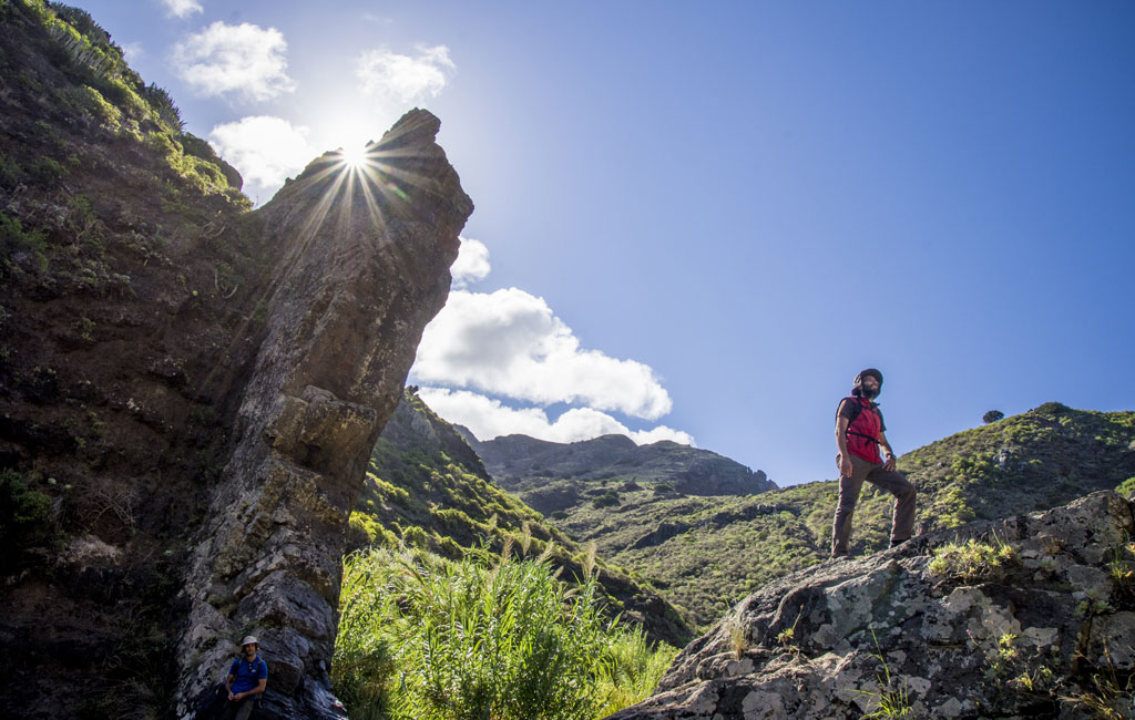
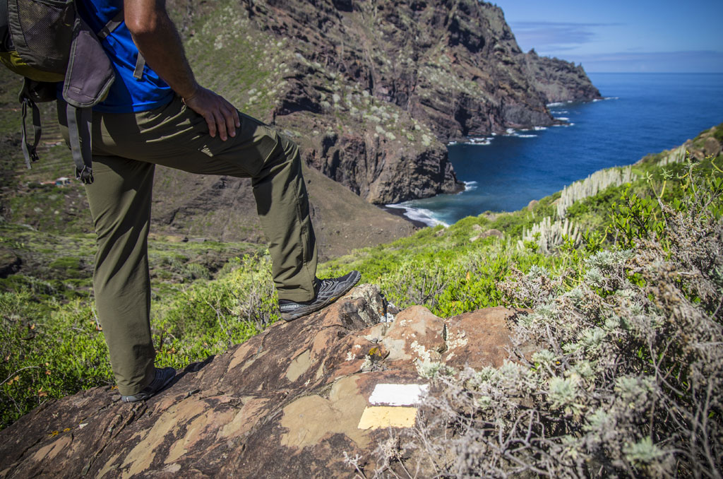
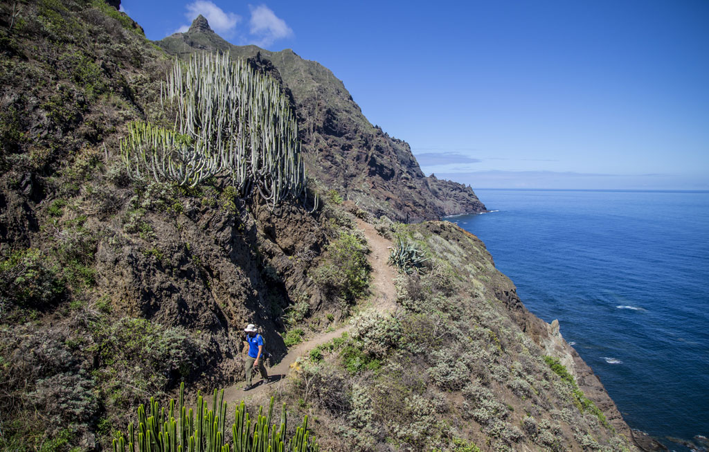
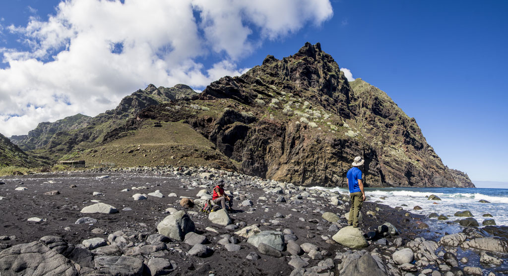
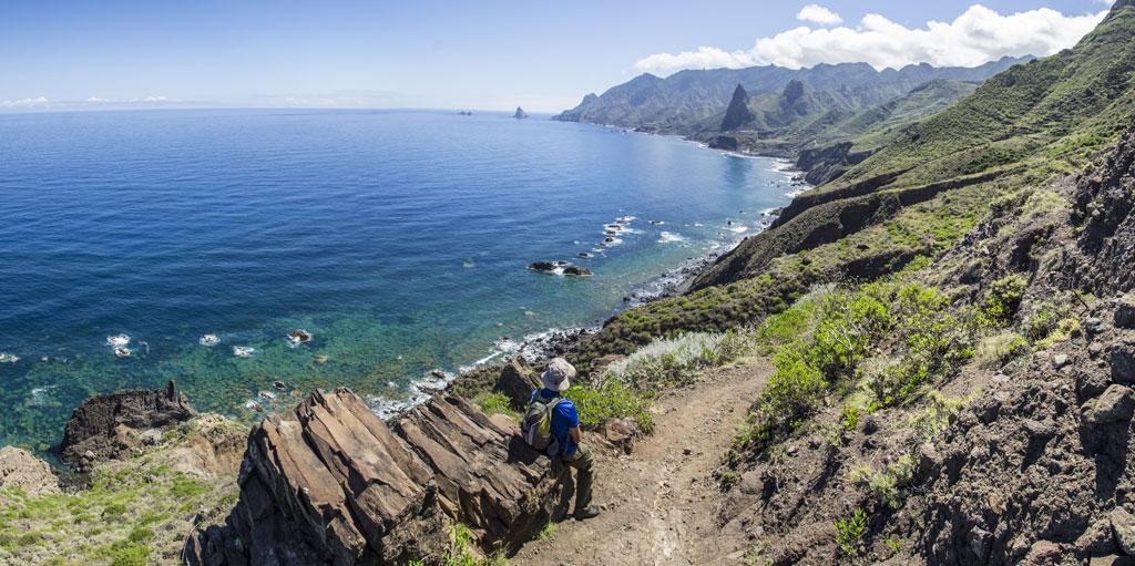
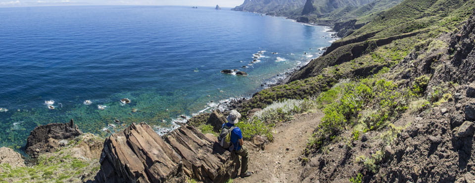
The walk sets off from the square in Afur and descends along the Afur ravine, almost reaching the beach of Tamadite. From there, it climbs up towards the hamlet of El Chorro and the town of Taganana, then through the woodland of Las Vueltas to the forest house, and back down to Afur along the Inchirés path.
Hypsometry
For your own safety, don't forget to check the condition of the trail.
The competent authority will be responsible for informing you if the trail is not recommendable in the wake of adverse weather conditions, as well as if the trail or part of it is closed, etc.
- Competent authority: Tenerife Council
- About the competent authority: PR-TF 8 Afur - Taganana - Afur
In case of an emergency, call 112.