15. Alto de Guajara
Technical information
- Start: 5. Degollada de Guajara
- Finish: Alto de Guajara
- Approval status: Not officially approved
- Degree of difficulty: Intermediate
- Type of trail: Linear
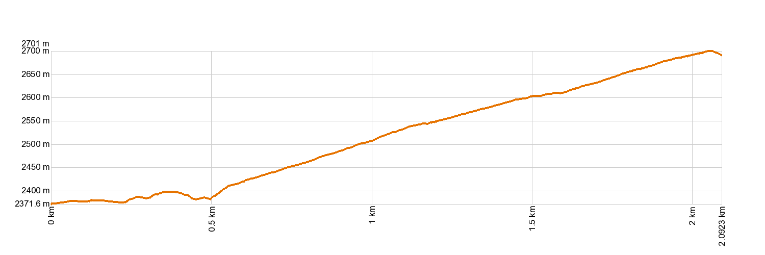
- Distance: 2.0 km (12.89 ft)
- Duration: 1 hour 30 mins.
- Highest altitude: 2,715 m (12.89 ft)
- Lowest altitude: 2,381 m (12.89 ft)
- Elevation gain: 357 m (12.89 ft)
- Elevation loss: 29.7 m (12.89 ft)
- Links to other trails:
- Protected Nature Areas:
- Authorisation required: No
Trail description
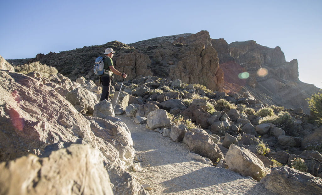
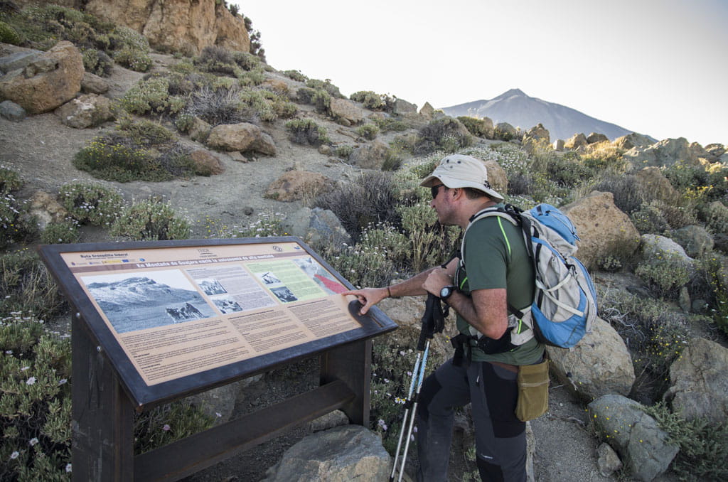
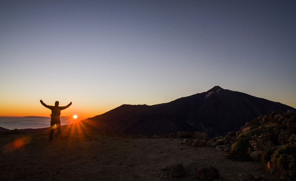
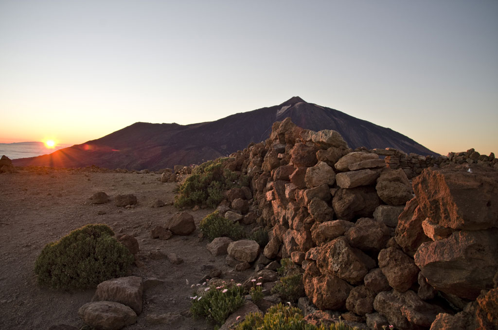
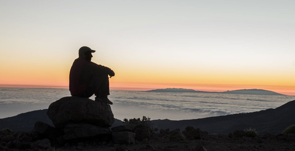
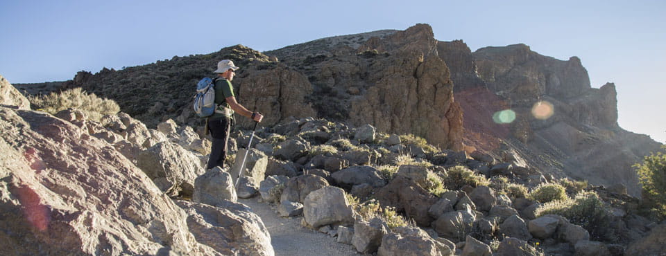
This mountain trail takes you up from La Degollada de Guajara to the peak known as Alto de Guajara, which, at an altitude of 2,715 m (8,907 ft), is the highest point on the walls of La Caldera, and the third highest in the National Park. From here you will get the best view of El Teide, Pico Viejo and Montaña Blanca, as well as a panoramic view of La Caldera de Las Cañadas. This excellent vantage point is a perfect place from which to see each different tongue of lava and the flatlands known as Las Cañadas. At the peak, you can still find the remains of the cabin used by French astronomer Jean Mascart during his stay here, where he was studying Halley's comet on its way past Earth in 1910. The south face of the Island will be visible during the entire climb. And, on clear days, you might see as far as the other islands in the Canarian archipelago.
Hypsometry
For your own safety, don't forget to check the condition of the trail.
The competent authority will be responsible for informing you if the trail is not recommendable in the wake of adverse weather conditions, as well as if the trail or part of it is closed, etc.
- Competent authority: Teide National Park
- About the competent authority: 15. Alto de Guajara
In case of an emergency, call 112.
Weather Today
Maximum: 26º
Minimum: 19º
Orotava (La). There will be not a cloud in the sky on Tuesday morning. In the afternoon, calm weather. At night, fog is likely to form. Mild temperature dropping.