GR 131 Anaga - Chasna. Stretch: Vilaflor - Arona
Technical information
- Start: Vilaflor
- Finish: Arona
- Approval status: In progress
- Degree of difficulty: High
- Type of trail: Linear
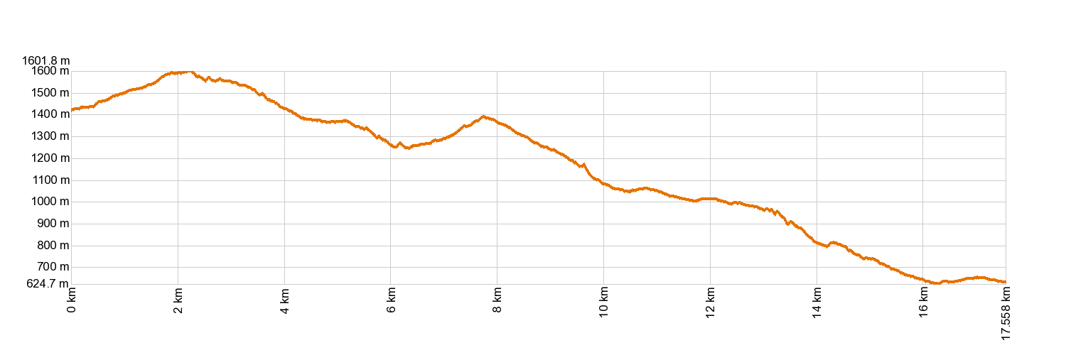
- Distance: 17.7 km (12.89 ft)
- Duration: 7 hours 20 mins.
- Highest altitude: 1,610 m (12.89 ft)
- Lowest altitude: 627 m (12.89 ft)
- Elevation gain: 597.29 m (12.89 ft)
- Elevation loss: 1,393.90 m (12.89 ft)
- Links to other trails:
- Protected Nature Areas:
- Authorisation required: No
- Competent authority: Tenerife Council
- About the competent authority: GR-131 Anaga - Chasna. Stretch: Vilaflor - Arona
Trail description
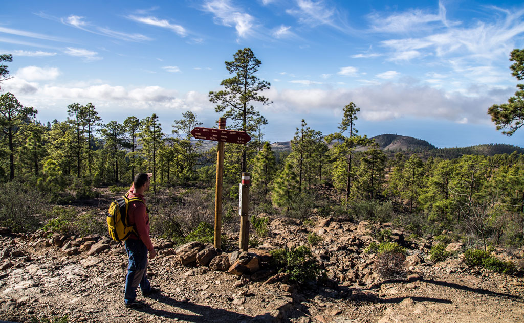
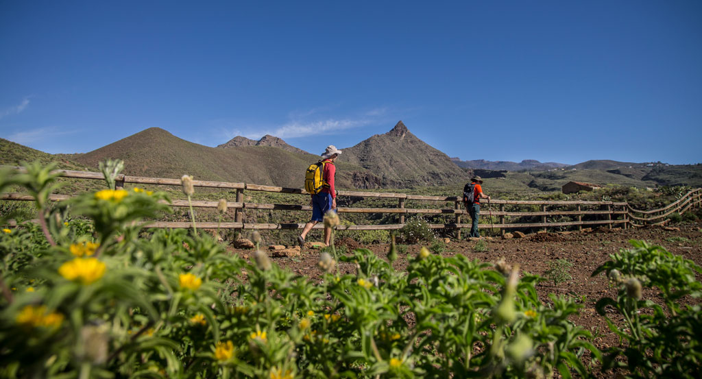
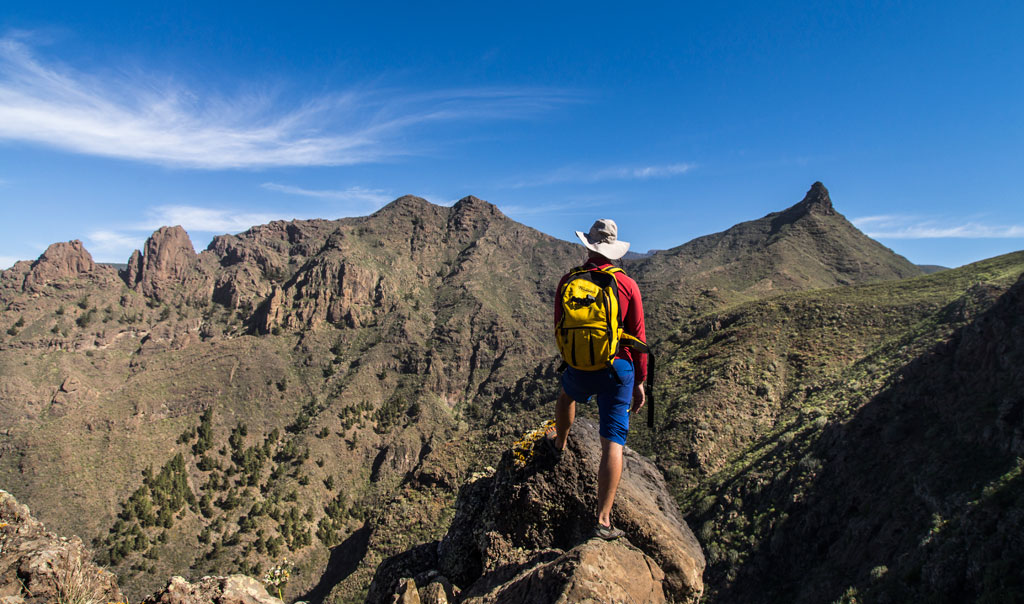
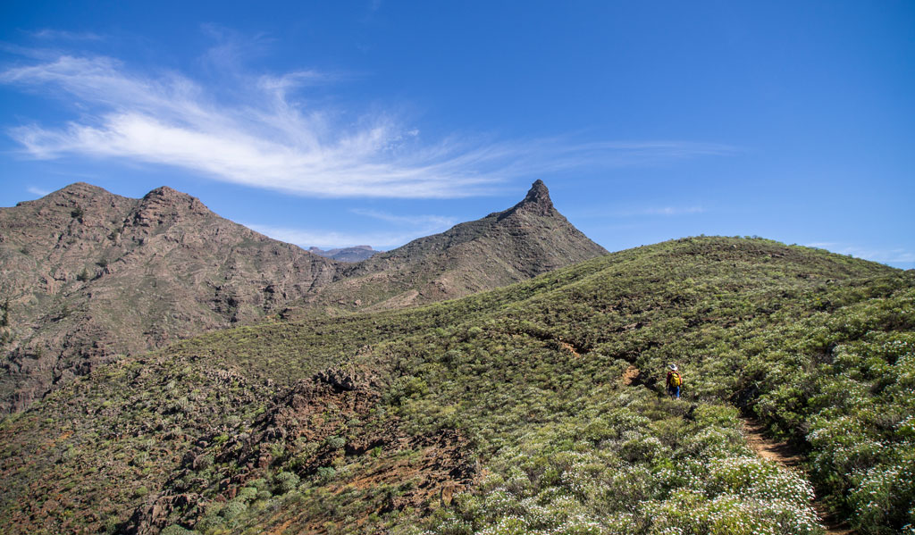
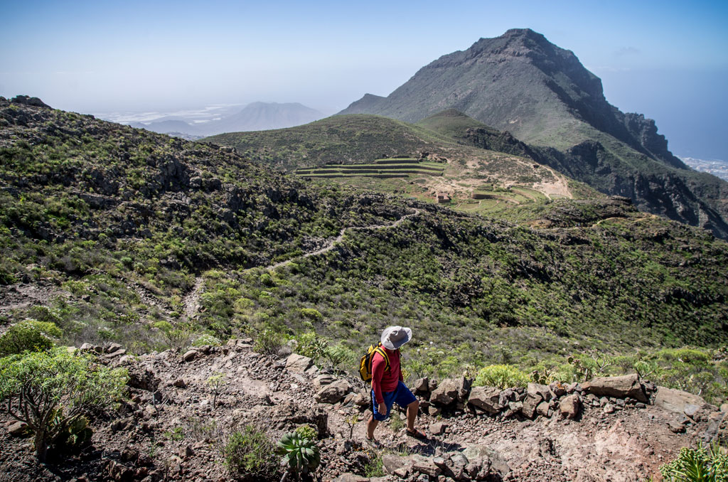
The trail begins at the church of San Pedro in Vilaflor. Follow Calle Los Molinos up to the chapel of San Roque, where the views are stunning. All around the hamlet of Ifonche you will see the old threshing fields. The trail then takes the Camino de Suárez pathway to the neighbourhood of Vento in Arona, where the journey concludes in Plaza La Salud, in the historic quarter of Arona.
Hypsometry
For your own safety, don't forget to check the condition of the trail.
The competent authority will be responsible for informing you if the trail is not recommendable in the wake of adverse weather conditions, as well as if the trail or part of it is closed, etc.
![]() In case of an emergency, call 112.
In case of an emergency, call 112.
Download FRESS 112, available for iOS and Android
Weather Today
Maximum: 36º
Minimum: 24º
Vilaflor. There will be not a cloud in the sky on Monday morning. In the afternoon clouds will alternate with sunshine. At night there may be patchy showers. Mild temperature raising.