PR-TF 86.2 Arico Nuevo - El Contador Recreation Area
Technical information
- Start: Arico Nuevo
- Finish: El Contador Recreation Area
- Approval status: In progress
- Degree of difficulty: High
- Type of trail: Linear
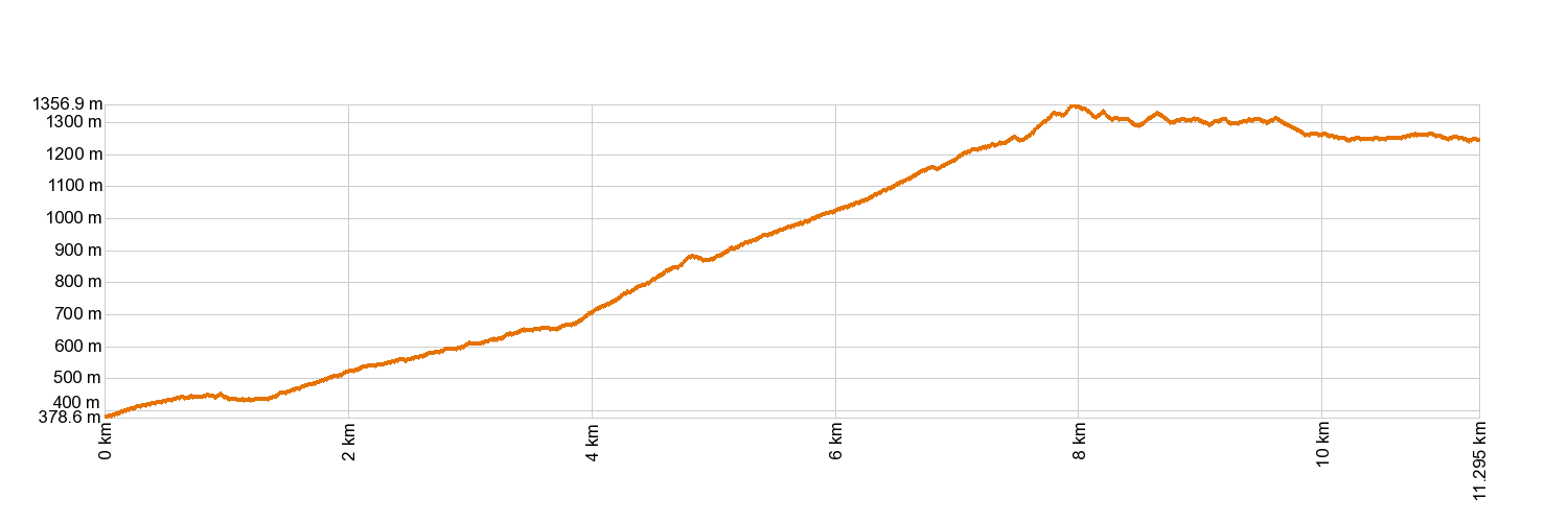
- Distance: 10.7 km (12.89 ft)
- Duration: 5 hours
- Highest altitude: 1,352 m (12.89 ft)
- Lowest altitude: 379 m (12.89 ft)
- Elevation gain: 1,215.61 m (12.89 ft)
- Elevation loss: 365.85 m (12.89 ft)
- Links to other trails:
- Protected Nature Areas:
- Authorisation required: No
- Competent authority: Tenerife Council
- About the competent authority: PR-TF 86.2 Arico Nuevo - El Contador Recreation Area
Trail description
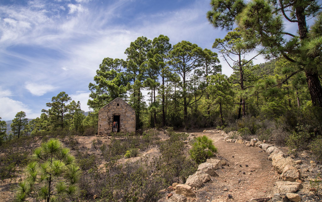
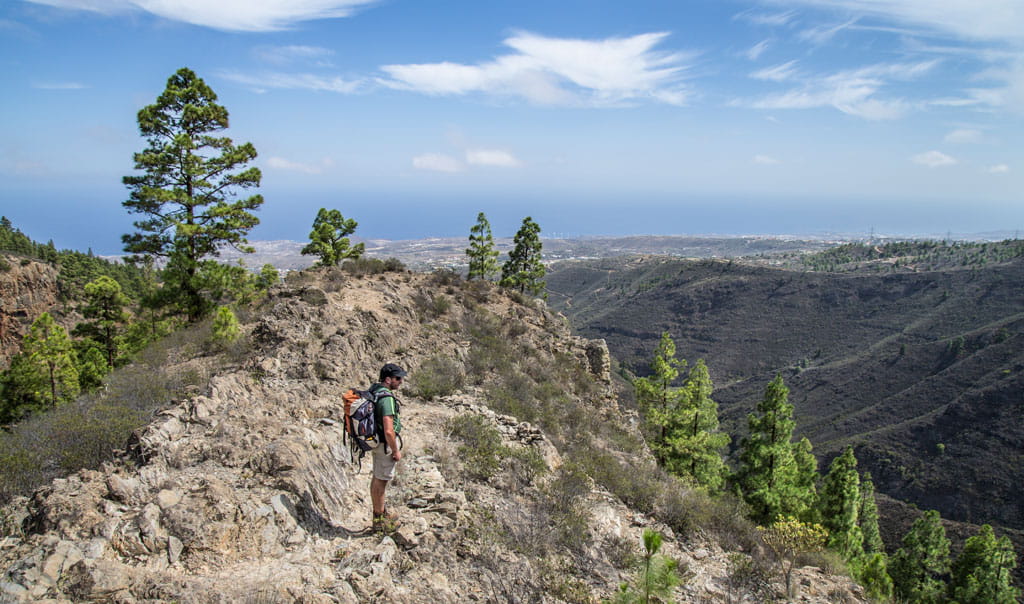
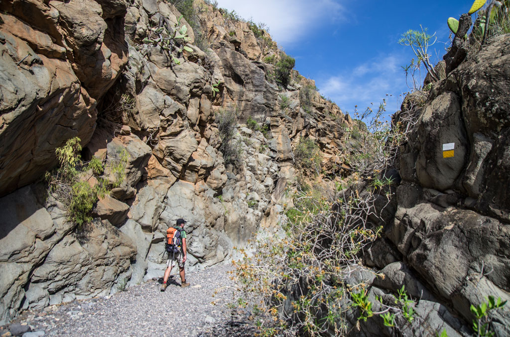
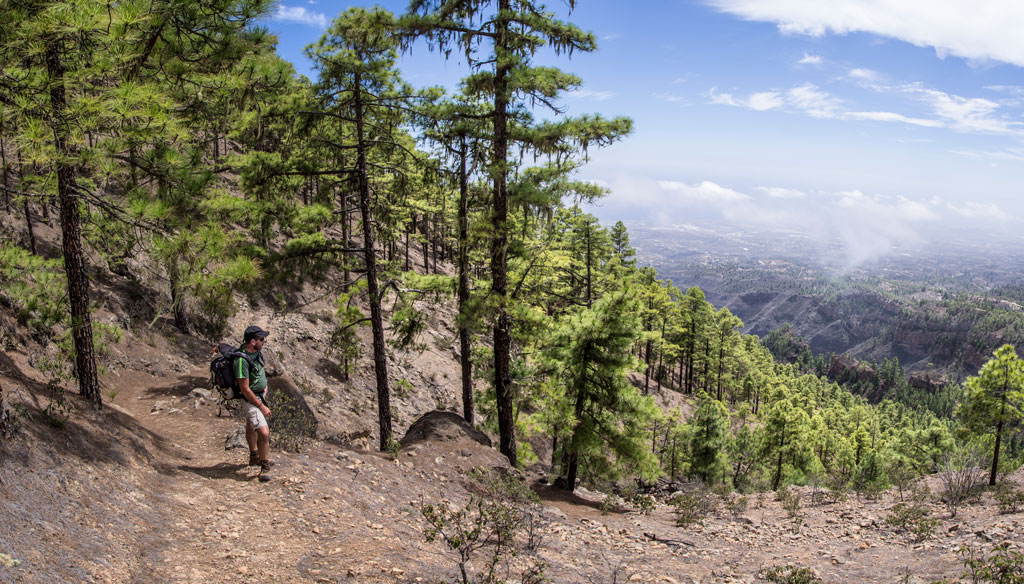
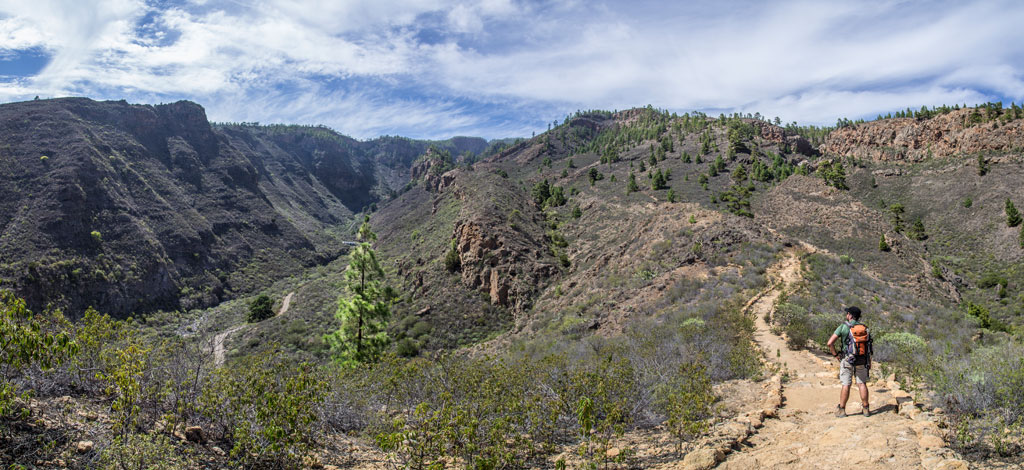
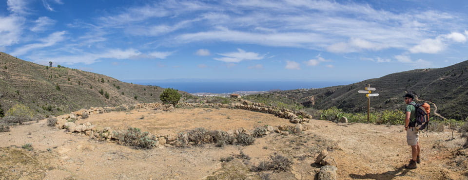
Setting off from Arico Nuevo, the trail heads towards La Degollada and Las Calzadas de la Sabinita. Leaving the houses and farm allotments behind, you will climb up along the ridge of Lomo de Tamadaya, where you will pass the Casas de Tamadaya, the area of Los Colorados and the house of Arenas de Tenesco. The trail then leads you along the top of Salto de Las Yedras and across the ravines of El Hornito and La Jarreta. It will eventually pass the houses of Casas del Contador and bring you to the El Contador Recreation Area.
Hypsometry
For your own safety, don't forget to check the condition of the trail.
The competent authority will be responsible for informing you if the trail is not recommendable in the wake of adverse weather conditions, as well as if the trail or part of it is closed, etc.
![]() In case of an emergency, call 112.
In case of an emergency, call 112.
Download FRESS 112, available for iOS and Android
Weather Today
Maximum: 25º
Minimum: 16º
Arico. Totally clear blue skies on Monday morning. As the hours pass by, calm weather. Temperatures will remain unchanged.