PR-TF 57 Callejón de Teno
Technical information
- Start: El Palmar
- Finish: Los Bailaderos
- Approval status: Approved
- Degree of difficulty: Intermediate
- Type of trail: Linear
- Distance: 4.1 km (12.89 ft)
- Duration: 2 hours
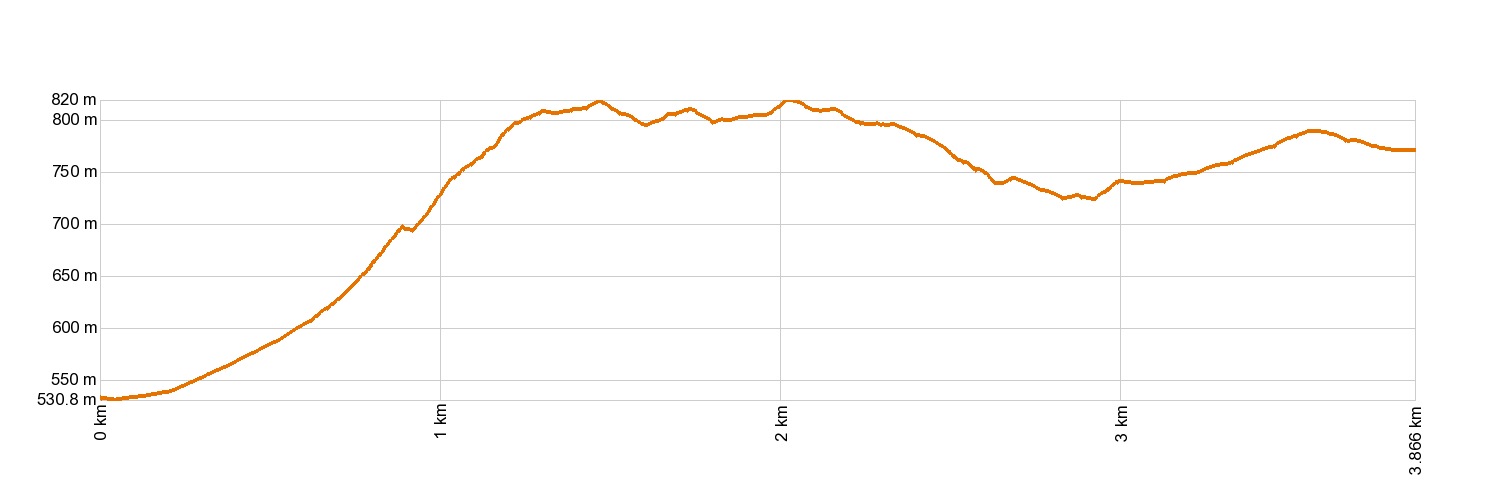
- Highest altitude: 828 m (12.89 ft)
- Lowest altitude: 531 m (12.89 ft)
- Elevation gain: 439.07 m (12.89 ft)
- Elevation loss: 197.81 m (12.89 ft)
- Links to other trails:
- PR-TF 51 San José de Los Llanos - Punta de Teno. Mirador de Baracán - Punta de Teno stretch
- PR-TF 52.1 Monte del Agua via Las Huertas
- PR-TF 52.2 Monte del Agua via Las Lagunetas
- PR-TF 55 Los Silos - Talavera - El Palmar
- PR-TF 56 El Palmar - Cumbre de Bolico
- PR-TF 58 Camino del Risco
- Protected Nature Areas:
- Authorisation required: No
- Competent authority: Tenerife Council
- About the competent authority: PR-TF 57 Callejón de Teno
Trail description
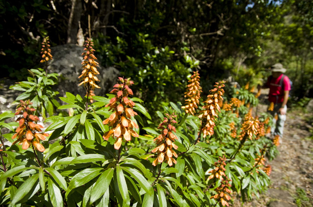
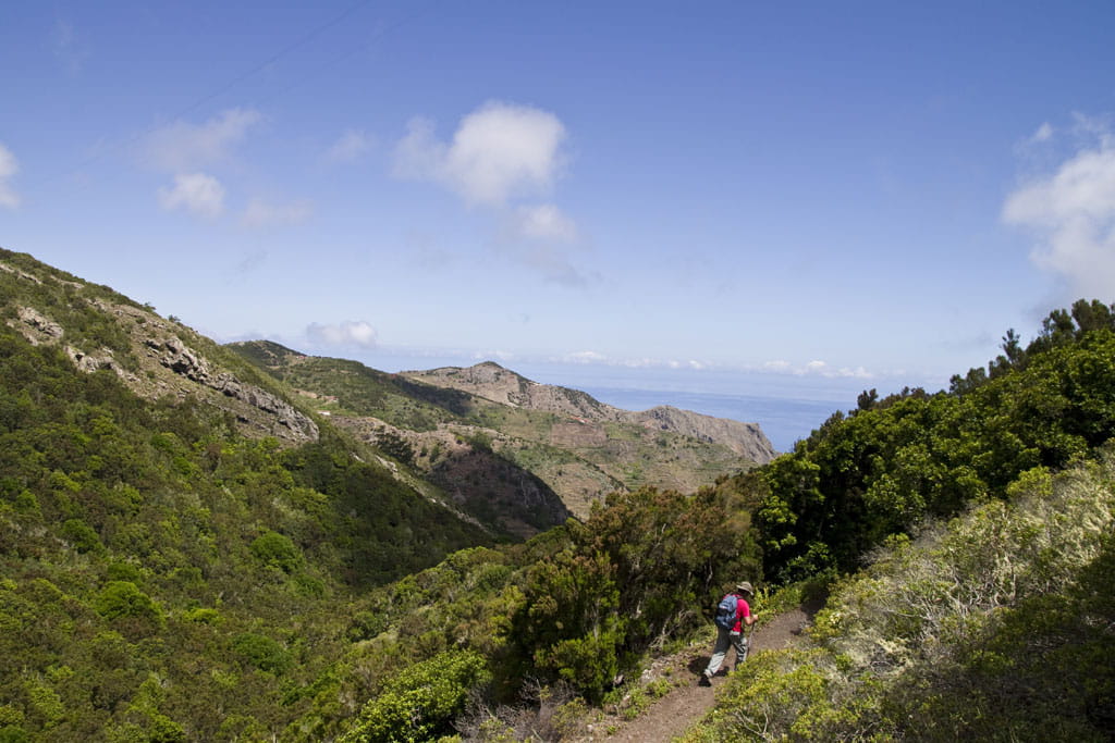
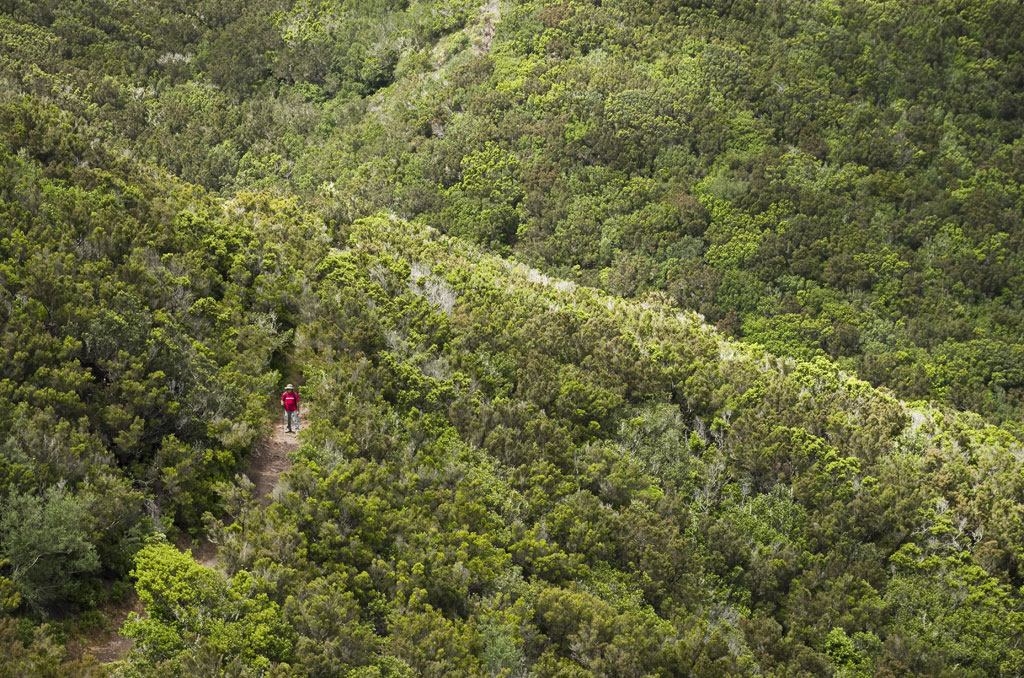
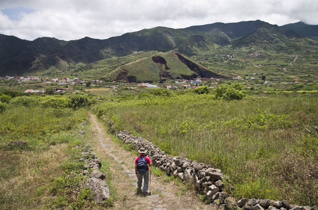
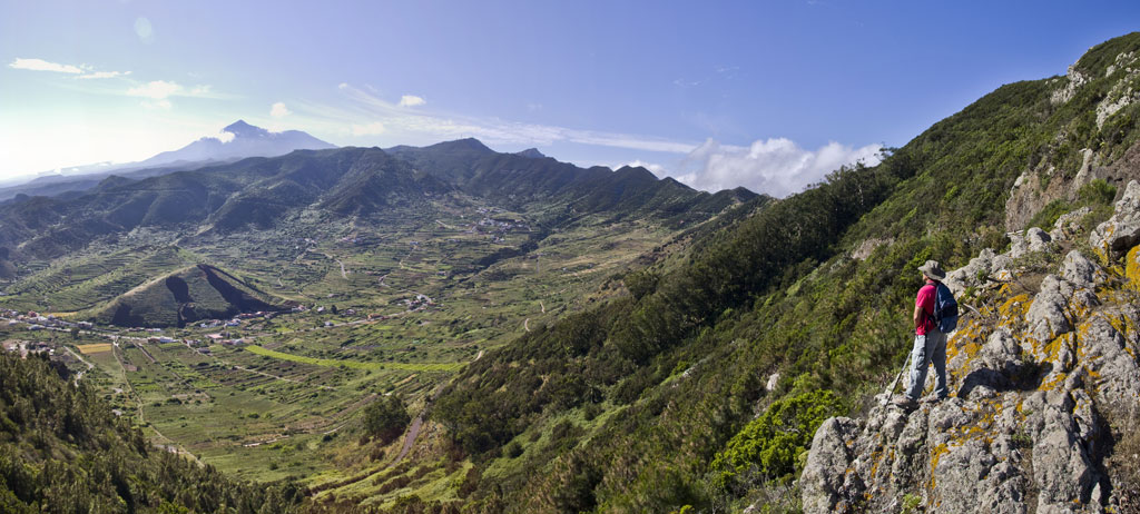
The trail starts at the Visitors Centre in Teno Rural Park, located in El Palmar (in the municipality of Buenavista del Norte). A few yards into the hike you will come to Los Pedregales, where an uphill stone path takes you to the top of the Peak, leaving the valley of El Palmar behind you. Carry on along the top of the Los Corchos ravine known as Lomo Los Acebiños and you will reach the track of Los Lavaderos. Leave the trail around the El Barro area, crossing El Calvario to Los Bailaderos. Your hike ends in Plaza de Los Bailaderos, a centre point on the Island's network of trails. Crossing it is the trail from San José de Los Llanos to Punta de Teno (PR-TF 51) and the El Risco Pathway to Buenavista (PR-TF 58).
Hypsometry
For your own safety, don't forget to check the condition of the trail.
The competent authority will be responsible for informing you if the trail is not recommendable in the wake of adverse weather conditions, as well as if the trail or part of it is closed, etc.
![]() In case of an emergency, call 112.
In case of an emergency, call 112.
Download FRESS 112, available for iOS and Android
Weather Today
Maximum: 24º
Minimum: 17º
Buenavista del Norte. There will be not a cloud in the sky all Sunday long. Temperatures will remain unchanged.