PR-TF 5 Chamorga - Igueste de San Andrés
Technical information
- Start: Chamorga
- Finish: Igueste de San Andrés
- Approval status: In progress
- Degree of difficulty: Intermediate
- Type of trail: Linear
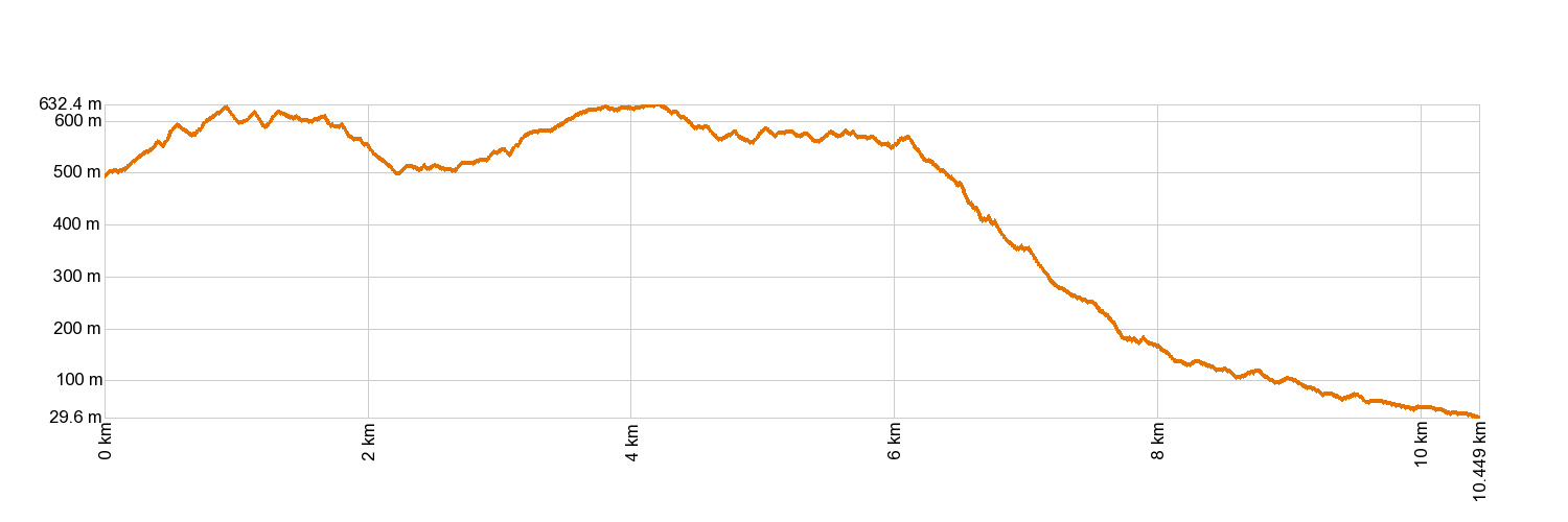
- Distance: 10.3 km (12.89 ft)
- Duration: 5 hours
- Highest altitude: 644 m (12.89 ft)
- Lowest altitude: 17 m (12.89 ft)
- Elevation gain: 616.43 m (12.89 ft)
- Elevation loss: 1,074.61 m (12.89 ft)
- Links to other trails:
- Protected Nature Areas:
- Authorisation required: No
- Competent authority: Tenerife Council
- About the competent authority: PR-TF 5 Chamorga - Igueste de San Andrés
Trail description
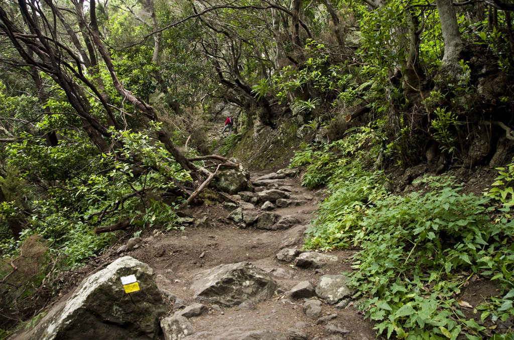
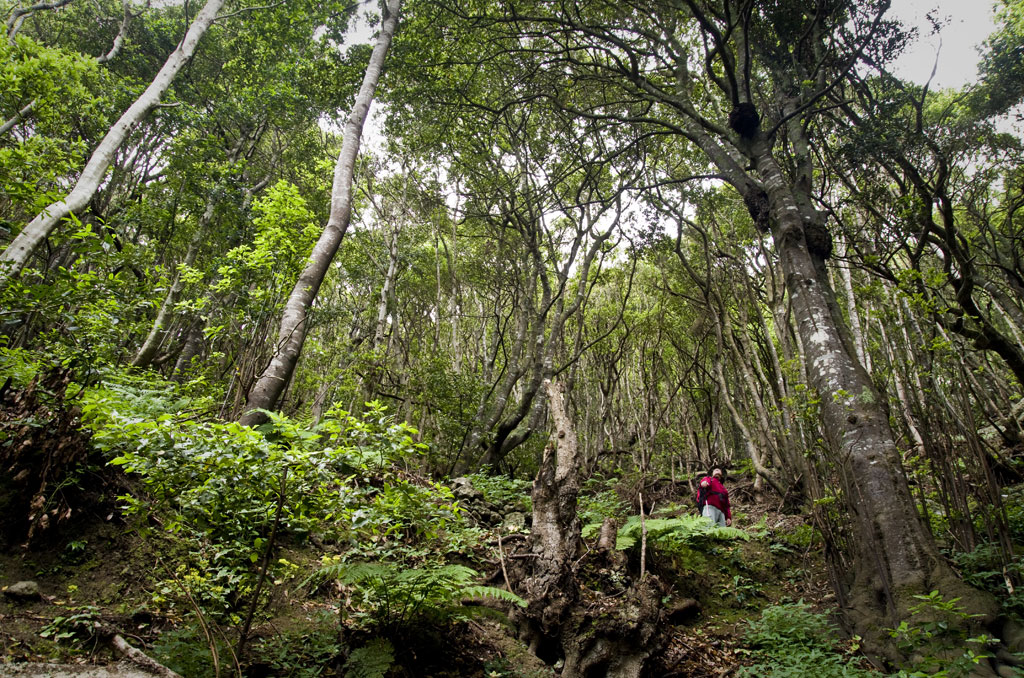
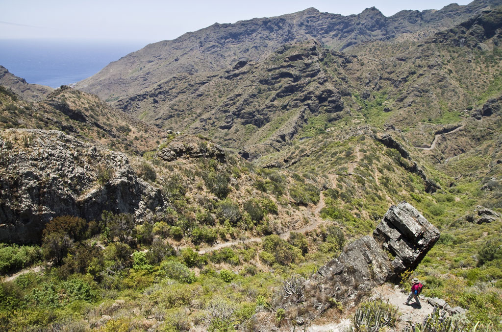
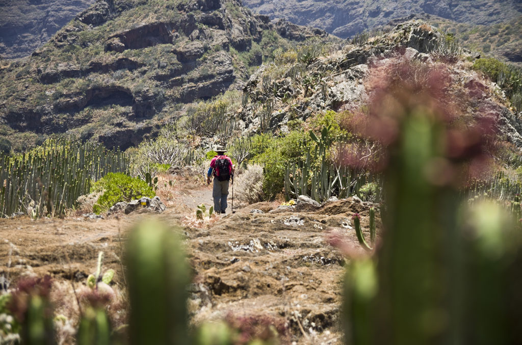
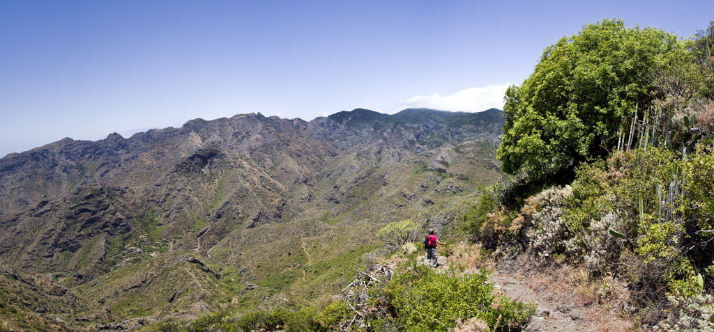
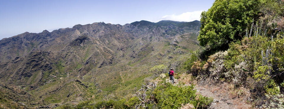
The trail sets off from Chamorga and climbs up through the Monteverde woodland to the hamlets of La Cumbrilla and El Lomo de Las Bodegas. From there, you will begin a long descent across the beautifully scenic peaks and headwaters of the ravines of Anosma and Ijuana. Once you reach the hamlet of Las Casillas, the journey continues down a windy path to the neighbourhood of Igueste de San Andrés.
Hypsometry
For your own safety, don't forget to check the condition of the trail.
The competent authority will be responsible for informing you if the trail is not recommendable in the wake of adverse weather conditions, as well as if the trail or part of it is closed, etc.
![]() In case of an emergency, call 112.
In case of an emergency, call 112.
Download FRESS 112, available for iOS and Android