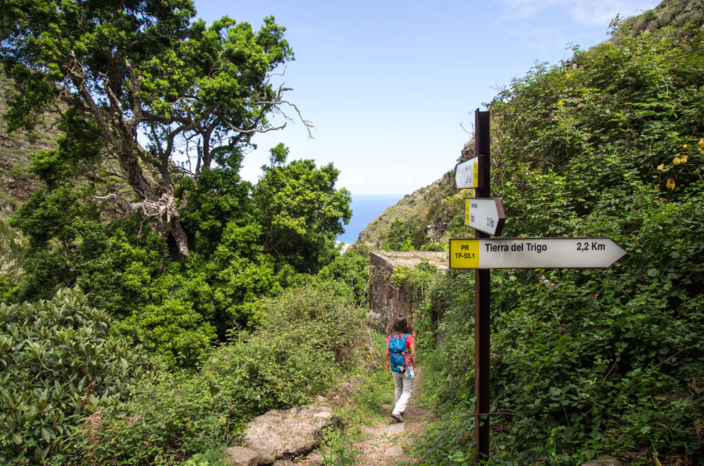
PR-TF 53.1 Cuevas Negras - Tierra del Trigo
Technical information
- Start: Cuevas Negras
- Finish: Tierra del Trigo
- Approval status: Approved
- Degree of difficulty: Low
- Type of trail: Linear
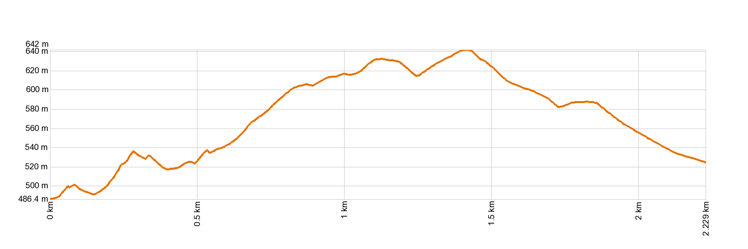
- Distance: 2.2 km (12.89 ft)
- Duration: 1 hour
- Highest altitude: 639 m (12.89 ft)
- Lowest altitude: 475 m (12.89 ft)
- Elevation gain: 206.63 m (12.89 ft)
- Elevation loss: 158.12 m (12.89 ft)
- Links to other trails:
- Protected Nature Areas:
- Authorisation required: No
- Competent authority: Tenerife Council
- About the competent authority: PR-TF 53.1 Cuevas Negras - Tierra del Trigo
Trail description
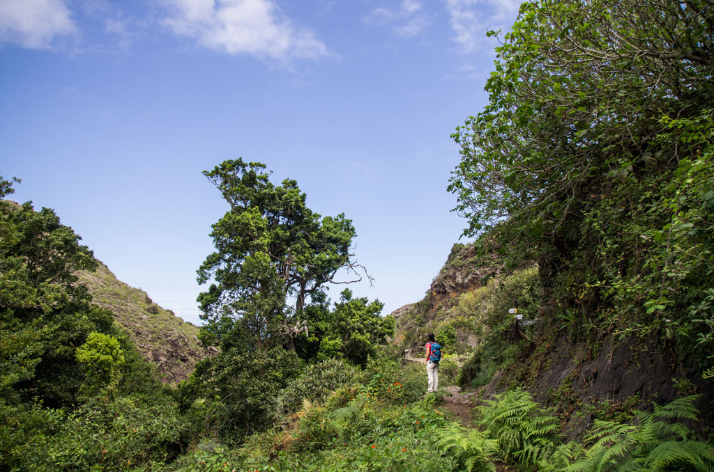
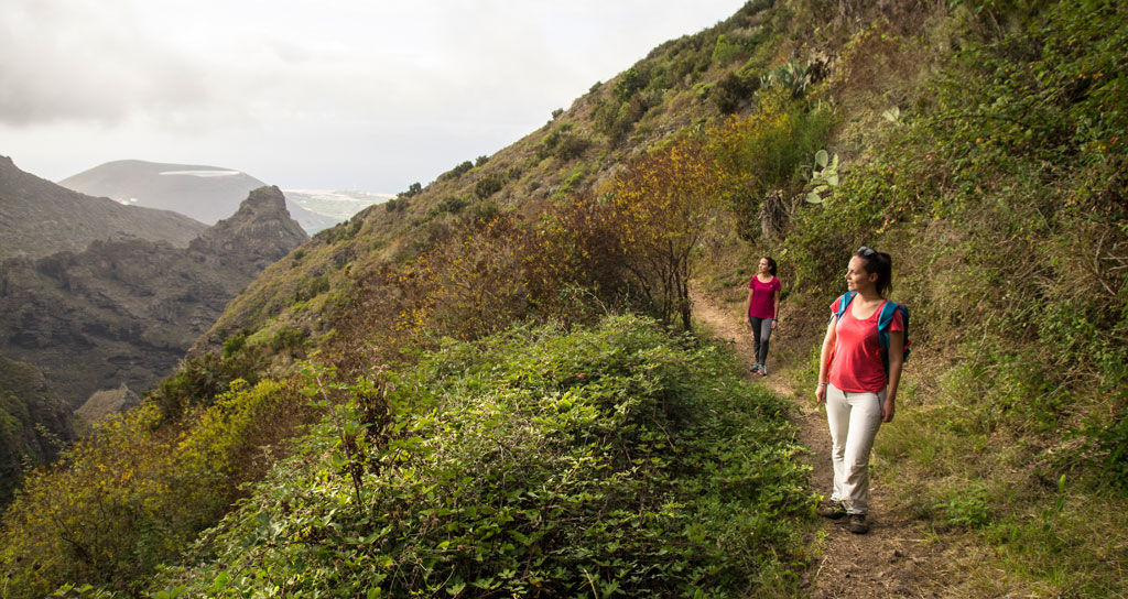
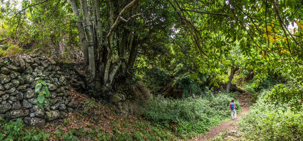
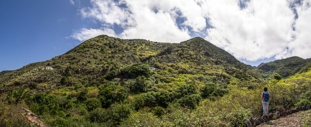
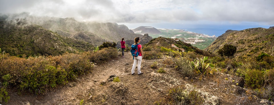
The trail begins in Cuevas Negras (in the municipality of Los Silos), beside a huge Canarian Laurel tree, heading east. You will climb up to the houses of Lomo El Topo, cross the El Salto Ravine towards Lomo Morín, past the El Til ravine, and come to La Tierra del Trigo.
Hypsometry
For your own safety, don't forget to check the condition of the trail.
The competent authority will be responsible for informing you if the trail is not recommendable in the wake of adverse weather conditions, as well as if the trail or part of it is closed, etc.
![]() In case of an emergency, call 112.
In case of an emergency, call 112.
Download FRESS 112, available for iOS and Android
Weather Today
Maximum: 28º
Minimum: 20º
Los Silos. There will be not a cloud in the sky on Wednesday morning. In the afternoon clouds will alternate with sunshine. At night the weather will be fine. Temperatures will remain unchanged.