PR-TF 52 Erjos - Las Portelas (Monte del Agua)
Technical information
- Start: Erjos
- Finish: Las Portelas
- Approval status: Approved
- Degree of difficulty: Intermediate
- Type of trail: Linear
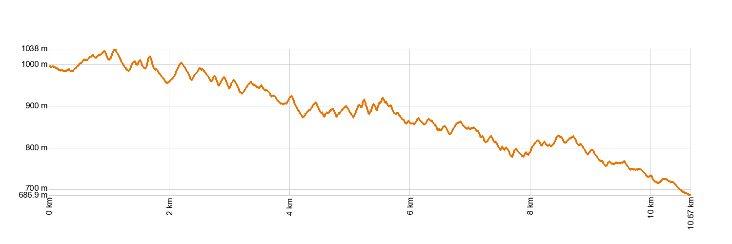
- Distance: 10.7 km (12.89 ft)
- Duration: 2 hours 30 mins.
- Highest altitude: 1,035 m (12.89 ft)
- Lowest altitude: 689 m (12.89 ft)
- Elevation gain: 239.85 m (12.89 ft)
- Elevation loss: 546.91 m (12.89 ft)
- Links to other trails:
- PR-TF 51 San José de Los Llanos - Punta de Teno. Stretch: San José de Los Llanos - Baracán Lookout Point
- PR-TF 52.1 Monte del Agua via Las Huertas
- PR-TF 52.2 Monte del Agua via Las Lagunetas
- PR-TF 53 Los Silos - Cuevas Negras - Erjos
- PR-TF 54 Los Silos - Las Moradas - Monte del Agua
- PR-TF 56 El Palmar - Cumbre de Bolico
- PR-TF 59 Las Portelas - Masca
- Protected Nature Areas:
- Authorisation required: No
- Competent authority: Tenerife Council
- About the competent authority: PR-TF 52 Erjos - Las Portelas (Monte del Agua)
Trail description
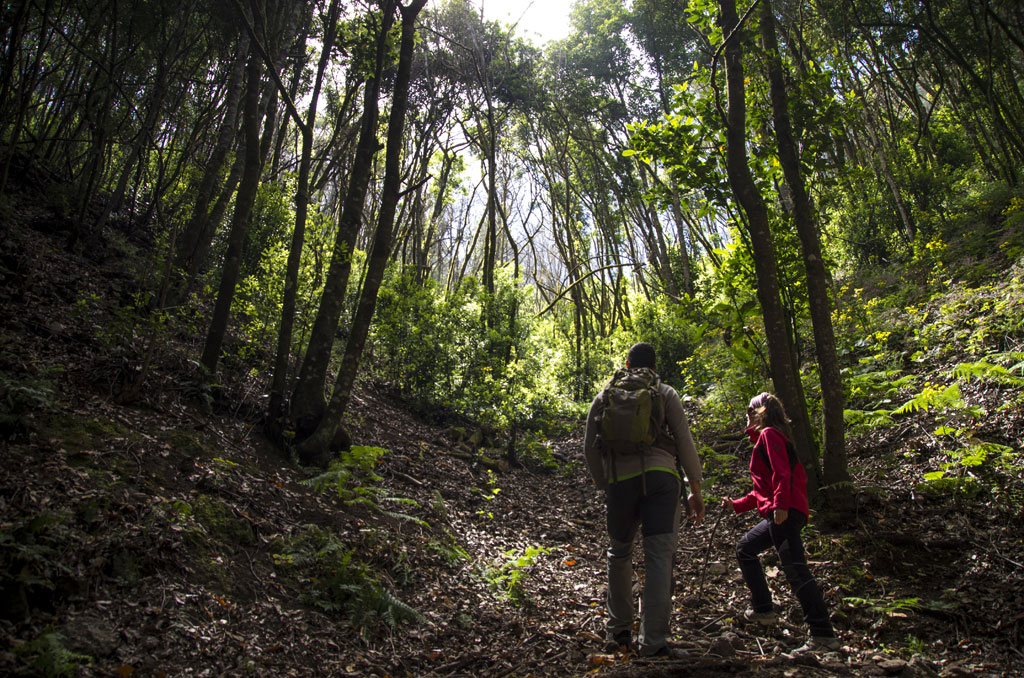
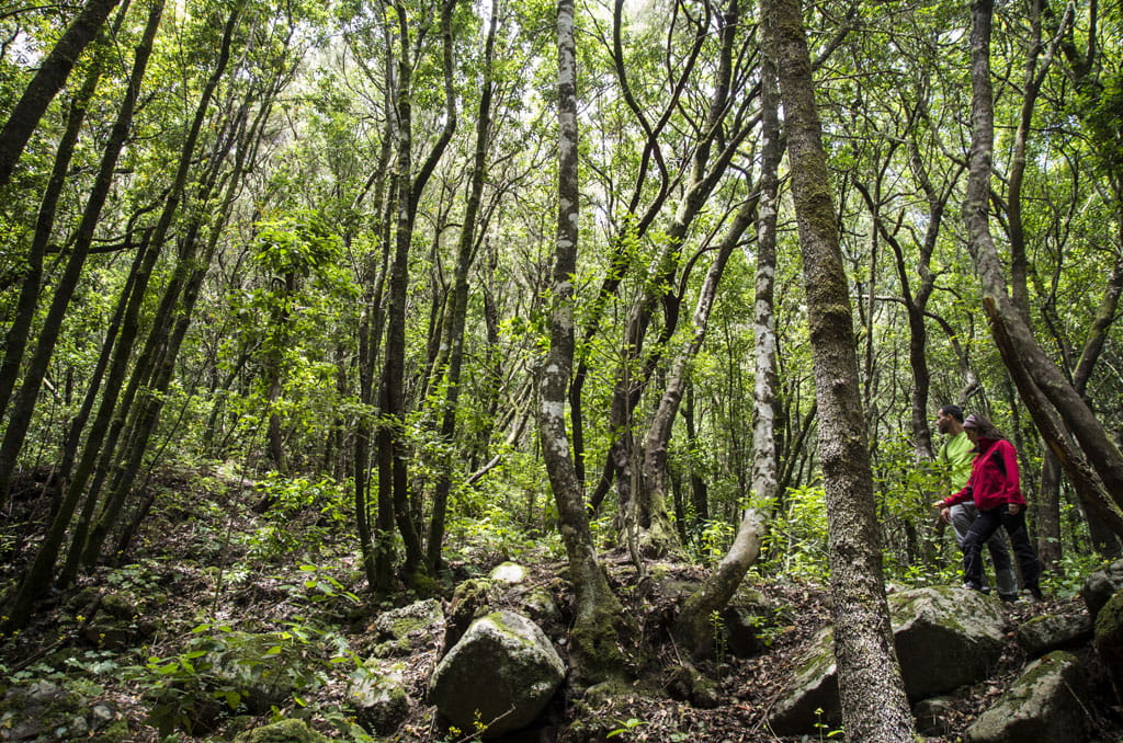
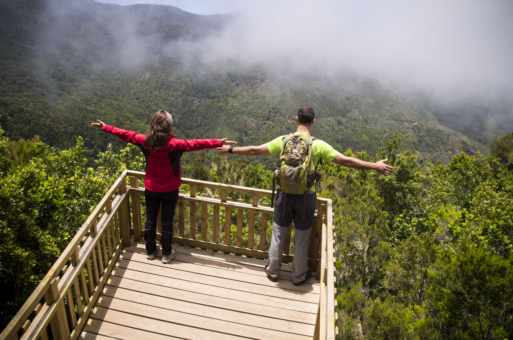
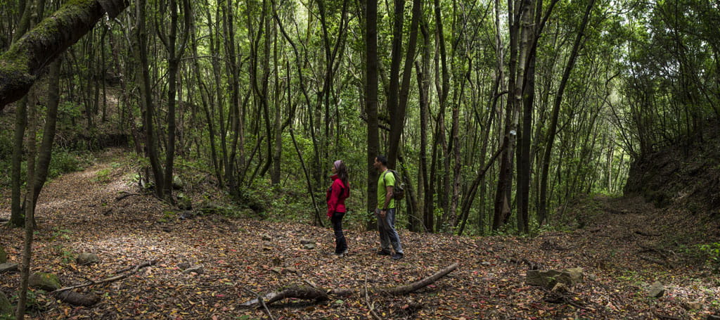
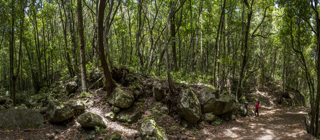
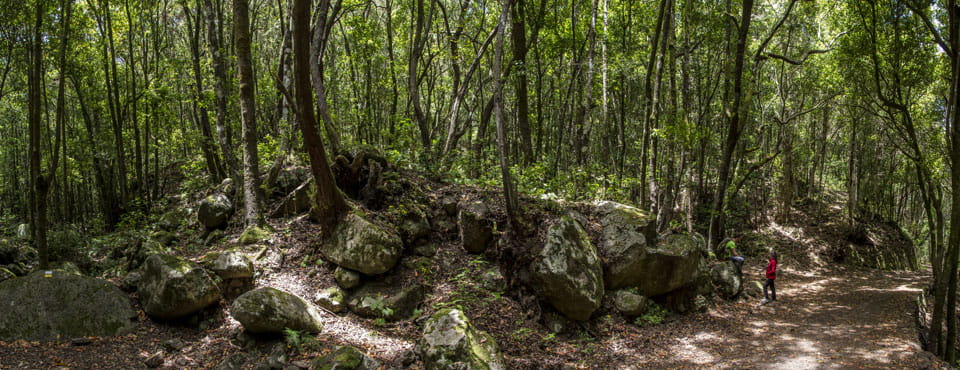
The trail starts in the square of Erjos (in the municipality of Los Silos), by the TF-82 road. Cross it to reach Calle Las Cruces and take the path that leads you onto an earth track. Some 500 yards further ahead, the track ventures into the woodland. The trail carries on towards the northwest for another 3 km (1.85 miles), out onto the eastern slopes of the El Palmar Valley. There, the Monteverde greenery clears away to reveal terraced farmland. The last stretch is predominantly rural, with two branches joining the main trail to El Palmar, either via Las Huertas or via Las Lagunetas.
Hypsometry
For your own safety, don't forget to check the condition of the trail.
The competent authority will be responsible for informing you if the trail is not recommendable in the wake of adverse weather conditions, as well as if the trail or part of it is closed, etc.
![]() In case of an emergency, call 112.
In case of an emergency, call 112.
Download FRESS 112, available for iOS and Android
Weather Today
Maximum: 28º
Minimum: 19º
Los Silos. There will be not a cloud in the sky all Wednesday long. In the evening it will be good weather. Temperatures will remain unchanged.