08. El Filo
Technical information
- Start: Km 38.5 on the TF-24 road
- Finish: Degollada de Guajara
- Approval status: Not officially approved
- Degree of difficulty: Intermediate
- Type of trail: Linear
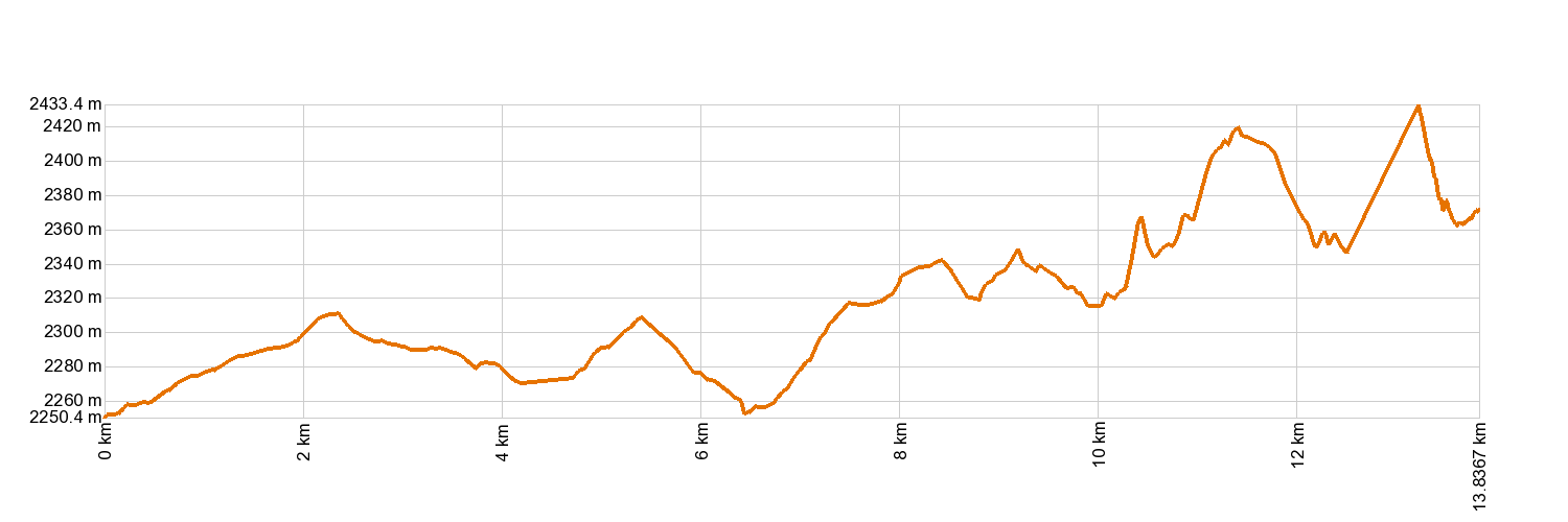
- Distance: 14.2 km (12.89 ft)
- Duration: 7 hours
- Highest altitude: 2,508 m (12.89 ft)
- Lowest altitude: 2,252 m (12.89 ft)
- Elevation gain: 728 m (12.89 ft)
- Elevation loss: 587 m (12.89 ft)
- Links to other trails:
- Protected Nature Areas:
- Authorisation required: No
Trail description
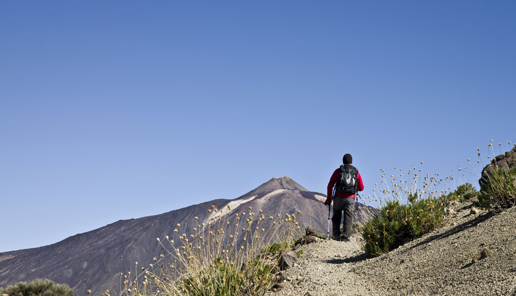
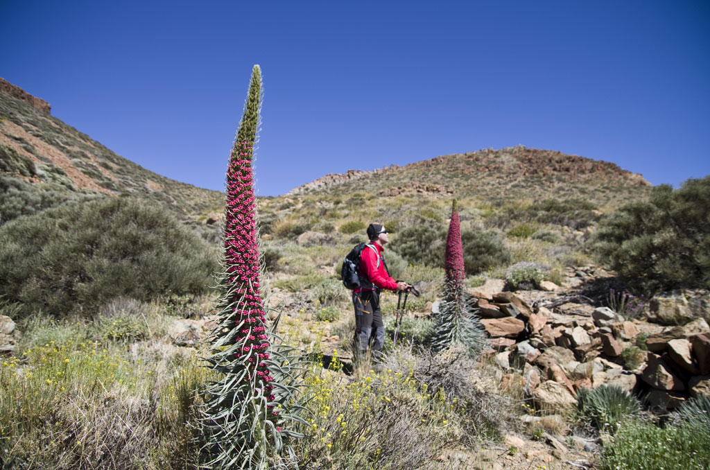
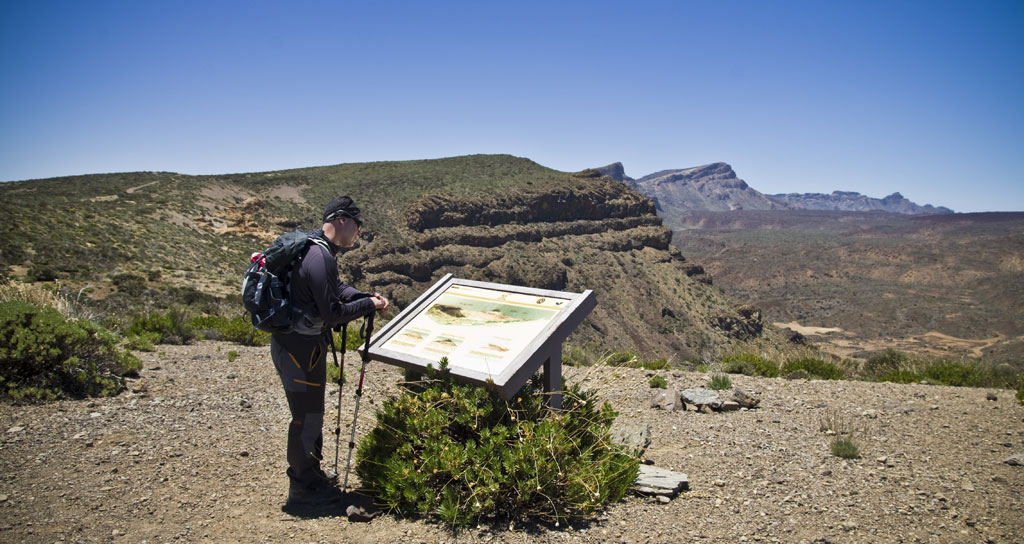
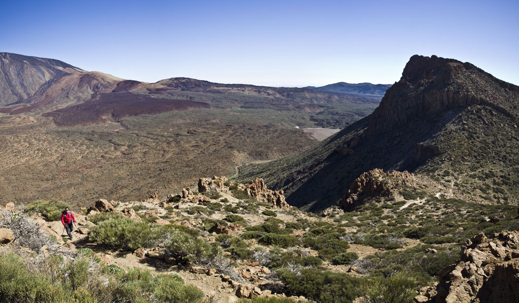
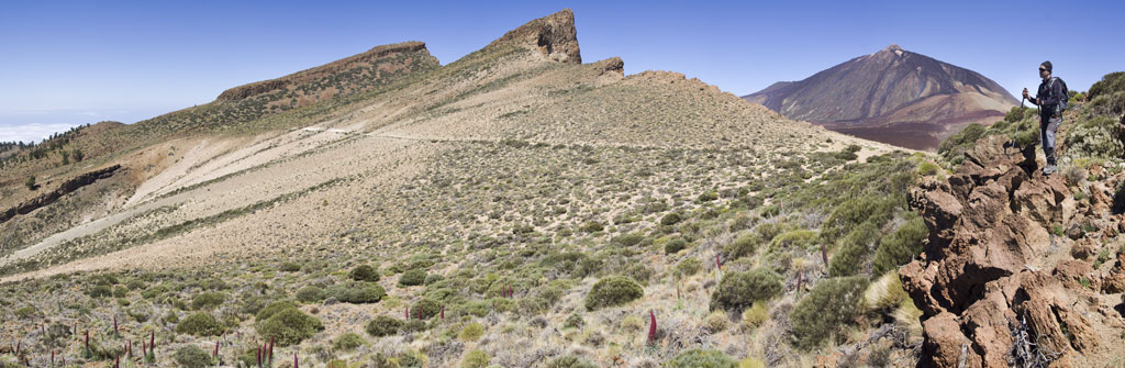
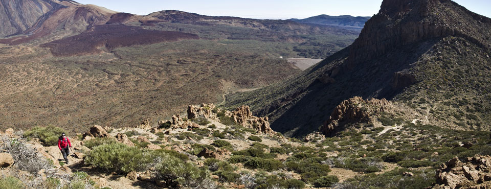
This trail journeys along the top of the walls of Las Cañadas, mostly on an old forest track. On the way, it peers out over the Park, providing magnificent views. To the south is an expanse of well-preserved pine forest. The trail is varied in both geomorphological and botanical terms. Please note that the end of the trail is roughly 2.5 hours away from the Parador Hotel along route 5.
Hypsometry
For your own safety, don't forget to check the condition of the trail.
The competent authority will be responsible for informing you if the trail is not recommendable in the wake of adverse weather conditions, as well as if the trail or part of it is closed, etc.
- Competent authority: Teide National Park
- About the competent authority: 8. El Filo
![]() In case of an emergency, call 112.
In case of an emergency, call 112.
Download FRESS 112, available for iOS and Android
Weather Today
Maximum: 36º
Minimum: 25º
Orotava (La). Sunny skies all Monday long. In the evening, fog is likely to form. Temperatures will remain unchanged.