PR-TF 5.1 Igueste de San Andrés - El Semáforo
Technical information
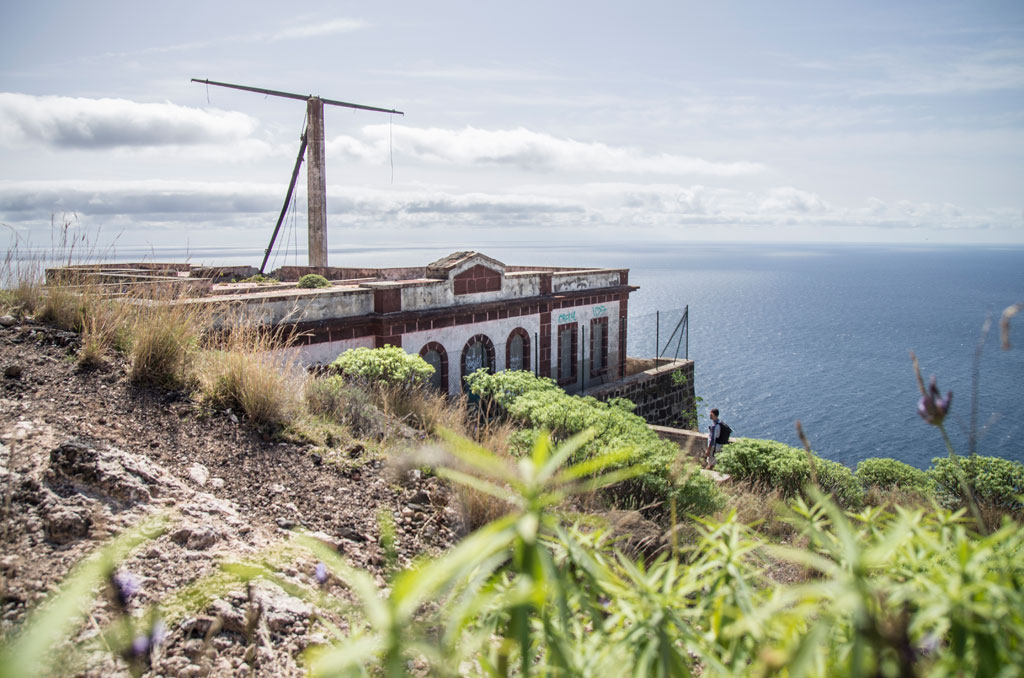
- Start: Igueste de San Andrés
- Finish: El Semáforo
- Approval status: In progress
- Degree of difficulty: Low
- Type of trail: Linear
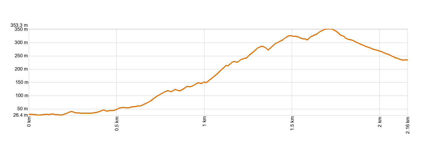
- Distance: 2.2 km (12.89 ft)
- Duration: 1 hour
- Highest altitude: 355 m (12.89 ft)
- Lowest altitude: 15 m (12.89 ft)
- Elevation gain: 347.03 m (12.89 ft)
- Elevation loss: 129.46 m (12.89 ft)
- Links to other trails:
- Protected Nature Areas:
- Authorisation required: No
- Competent authority: Tenerife Council
- About the competent authority: PR-TF 5.1 Igueste de San Andrés - El Semáforo
Trail description
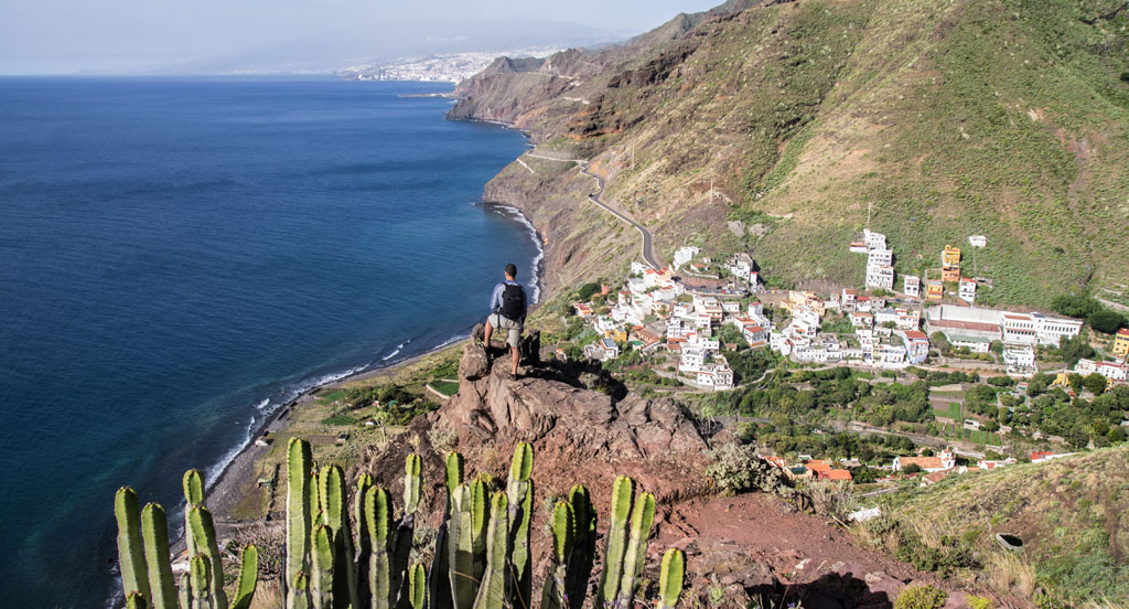
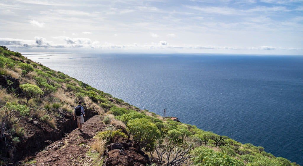
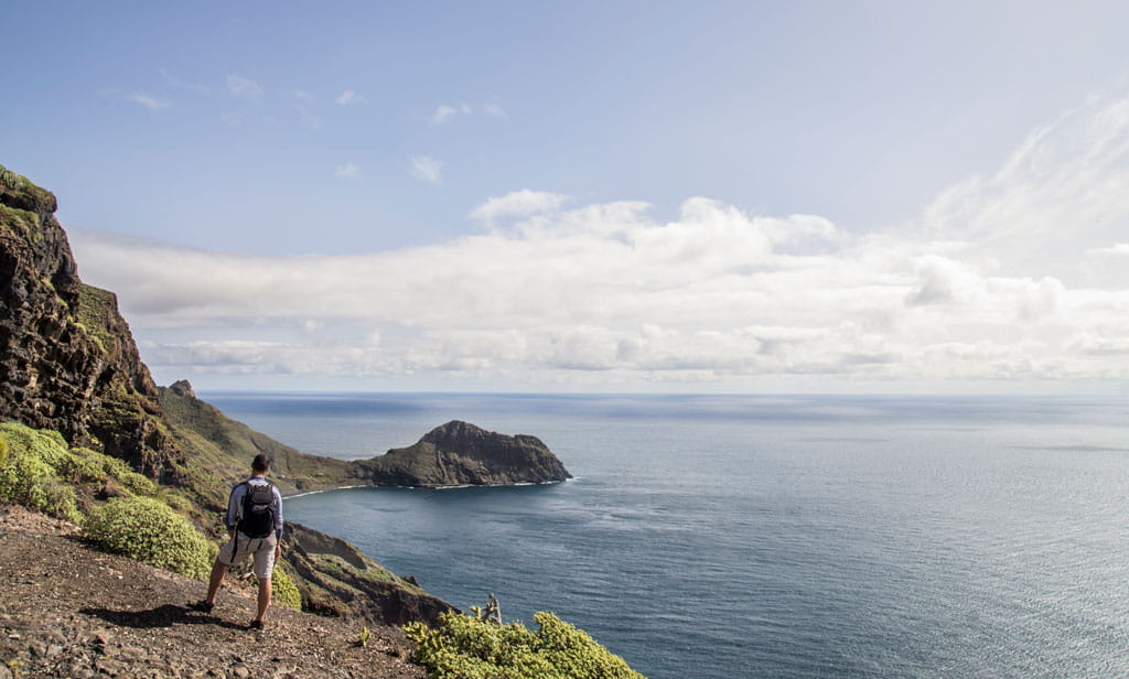
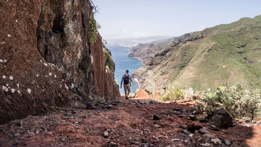
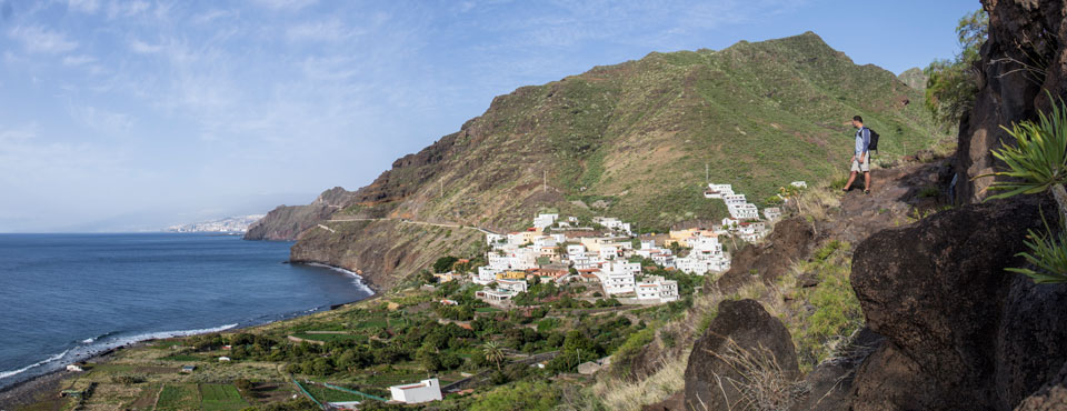
The trail starts in Igueste de San Andrés, journeying up Montaña de Las Toscas to El Semáforo along a track that has largely been carved into the rock.
Hypsometry
For your own safety, don't forget to check the condition of the trail.
The competent authority will be responsible for informing you if the trail is not recommendable in the wake of adverse weather conditions, as well as if the trail or part of it is closed, etc.
![]() In case of an emergency, call 112.
In case of an emergency, call 112.
Download FRESS 112, available for iOS and Android