PR-TF 35.3 Llano de Los Corrales - Pinolere
Technical information
- Start: Llano de Los Corrales
- Finish: Pinolere
- Approval status: Not officially approved
- Degree of difficulty: Low
- Type of trail: Linear
- Distance: 2.7 km (12.89 ft)
- Duration: 1 hour 30 mins.
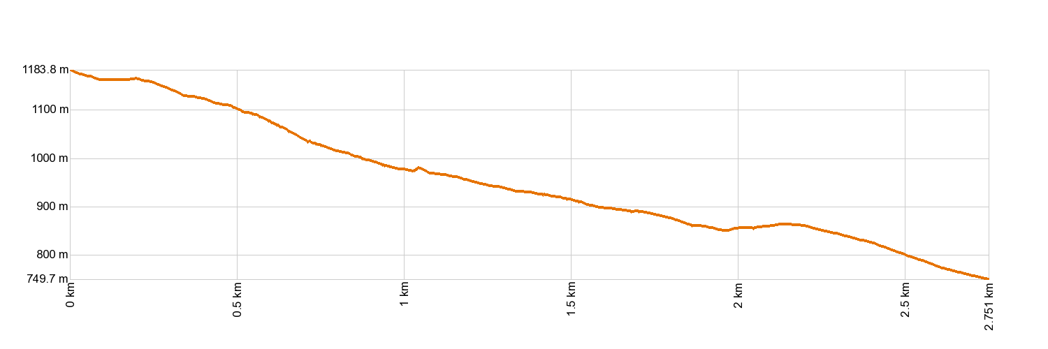
- Highest altitude: 1,185 m (12.89 ft)
- Lowest altitude: 751 m (12.89 ft)
- Elevation gain: 64.05 m (12.89 ft)
- Elevation loss: 495.50 m (12.89 ft)
- Links to other trails:
- Protected Nature Areas:
- Authorisation required: No
Trail description
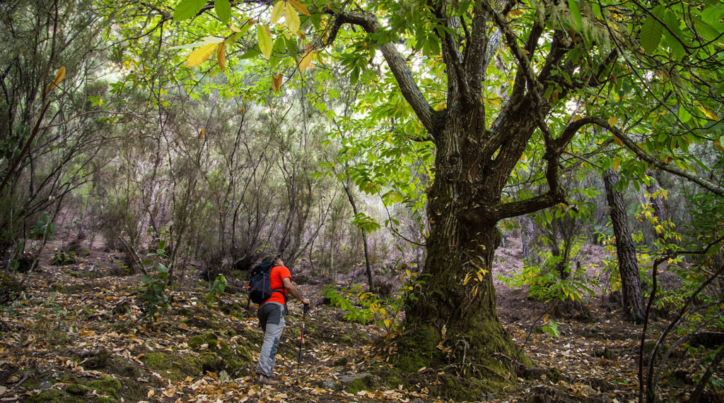
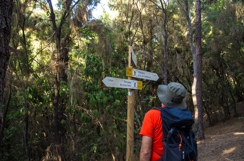
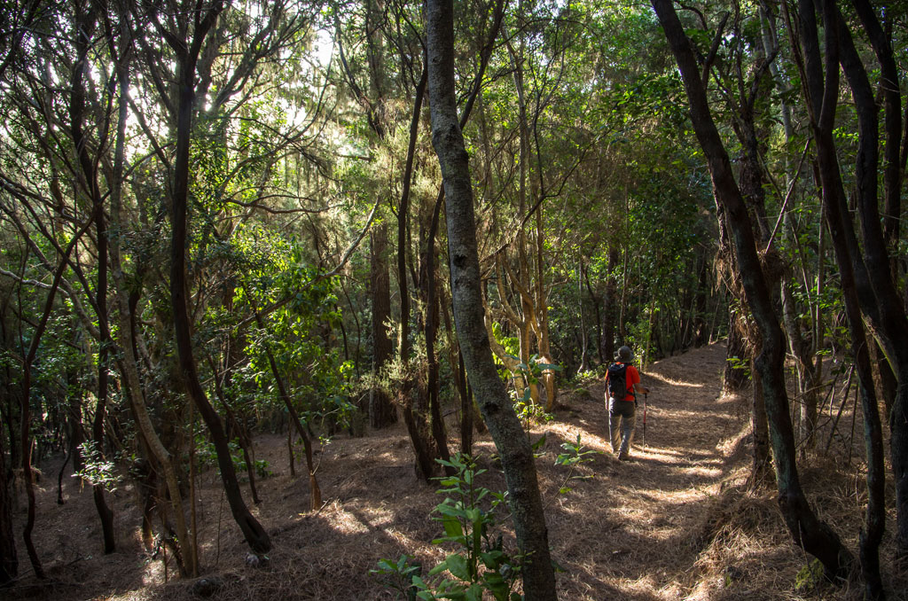
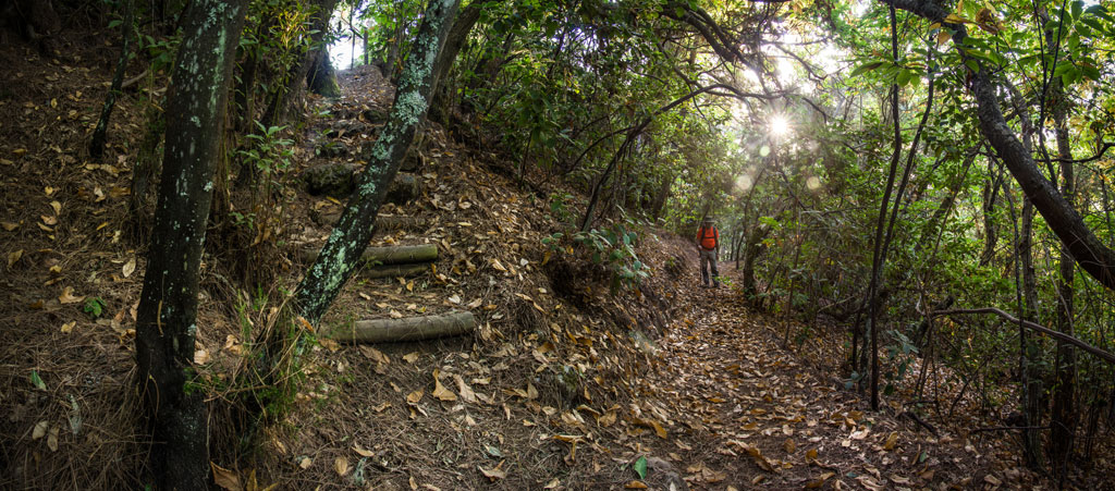
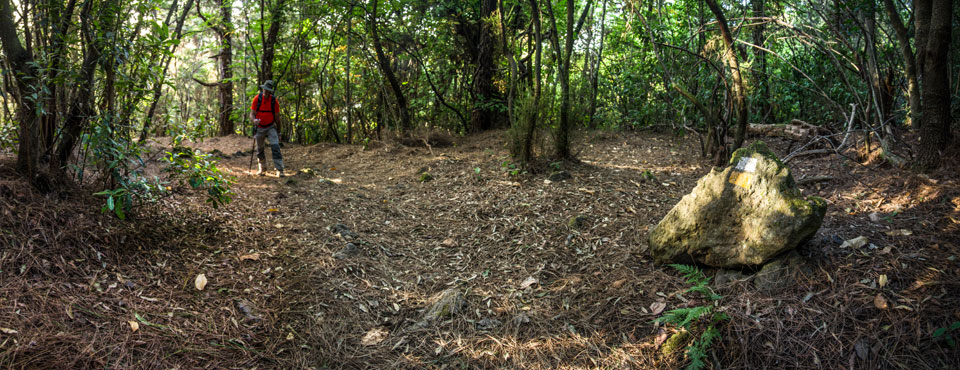
You will find this branch on the Mamio track near Llano de Los Corrales, roughly 4.7 km (2.9 miles) away from the La Caldera recreation area. This is yet another way of getting to the village of Pinolere across Hell's Ravine, past a number of ethnographic sites such as traditional hay barns and water galleries.
Hypsometry
For your own safety, don't forget to check the condition of the trail.
The competent authority will be responsible for informing you if the trail is not recommendable in the wake of adverse weather conditions, as well as if the trail or part of it is closed, etc.
- Competent authority: Tenerife Council
- About the competent authority: PR-TF 35.3 Llano de Los Corrales - Pinolere
![]() In case of an emergency, call 112.
In case of an emergency, call 112.
Download FRESS 112, available for iOS and Android
Weather Today
Maximum: 30º
Minimum: 19º
Orotava (La). Sunny skies on Wednesday morning. In the afternoon clouds will alternate with sunshine. At night there will be some mist. Mild temperature raising.