34. Montaña Limón
Technical information
- Start: Montaña Limón
- Finish: El Aserradero - Choza de José Ruiz de Izaña
- Approval status: Not officially approved
- Degree of difficulty: Very low
- Type of trail: Linear
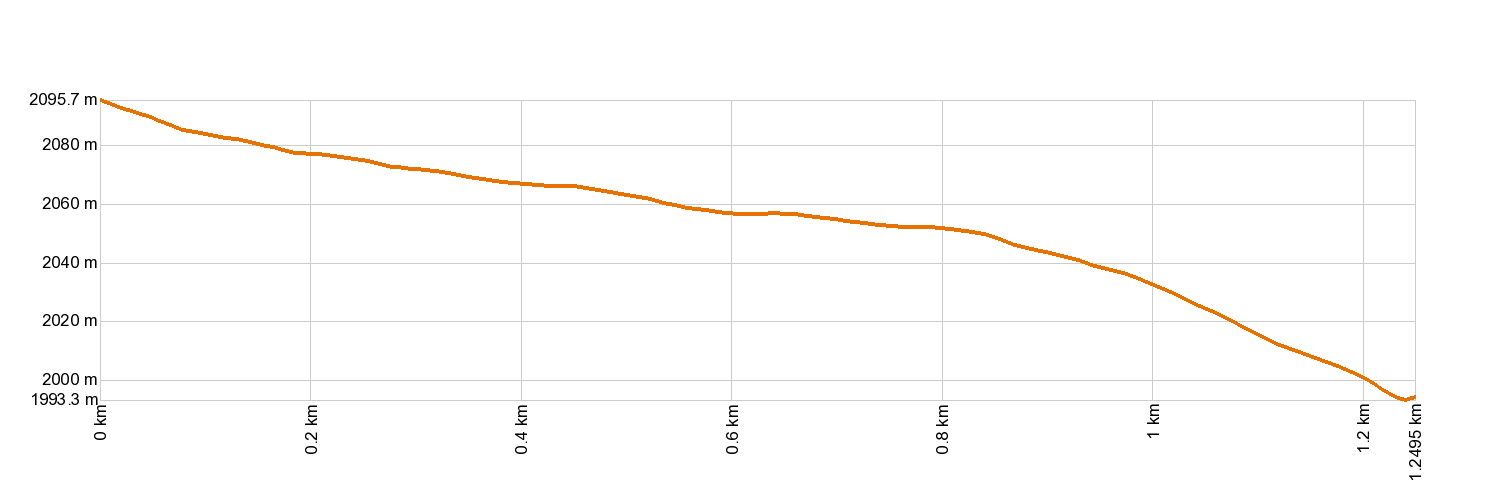
- Distance: 1.2 km (12.89 ft)
- Duration: 30 mins.
- Highest altitude: 2,099 m (12.89 ft)
- Lowest altitude: 2,004 m (12.89 ft)
- Elevation gain: 1.63 m (12.89 ft)
- Elevation loss: 97 m (12.89 ft)
- Links to other trails:
- Protected Nature Areas:
- Authorisation required: No
Trail description
This trail covers a short stretch of an old pathway that used to link the two great valleys (Güímar and La Orotava). Travelling up from La Orotava, the trail starts on the edge of Teide National Park and rises up the southern face of Montaña Limón. There, it joins Corral del Niño - Yegua Blanca Trail 21, which journeys up from La Piedra del Mal Abrigo to the ridge of Yegua Blanca or heads towards Corral del Niño.
Hypsometry
For your own safety, don't forget to check the condition of the trail.
The competent authority will be responsible for informing you if the trail is not recommendable in the wake of adverse weather conditions, as well as if the trail or part of it is closed, etc.
- Competent authority: Teide National Park
- About the competent authority: 34. Montaña Limón
![]() In case of an emergency, call 112.
In case of an emergency, call 112.
Download FRESS 112, available for iOS and Android
Weather Today
Maximum: 28º
Minimum: 21º
Orotava (La). It will be good weather all Thursday long. In the evening the fog will cause reduced visibility. Temperatures will remain unchanged.