27. Montaña Rajada
Technical information
- Start: Montaña Rajada
- Finish: Montaña de Los Conejos
- Approval status: Not officially approved
- Degree of difficulty: Low
- Type of trail: Linear
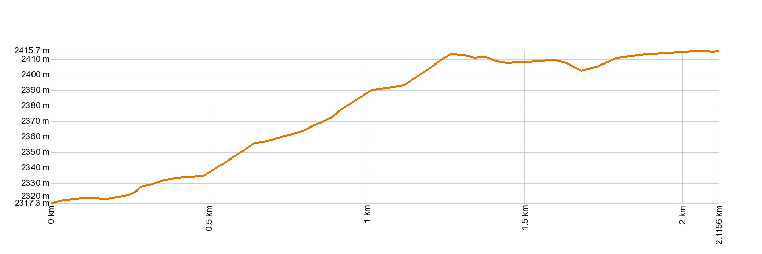
- Distance: 2.1 km (12.89 ft)
- Duration: 45 mins.
- Highest altitude: 2,419 m (12.89 ft)
- Lowest altitude: 2,325 m (12.89 ft)
- Elevation gain: 132 m (12.89 ft)
- Elevation loss: 40.5 m (12.89 ft)
- Links to other trails:
- Protected Nature Areas:
- Authorisation required: No
Trail description
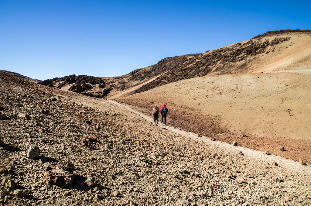
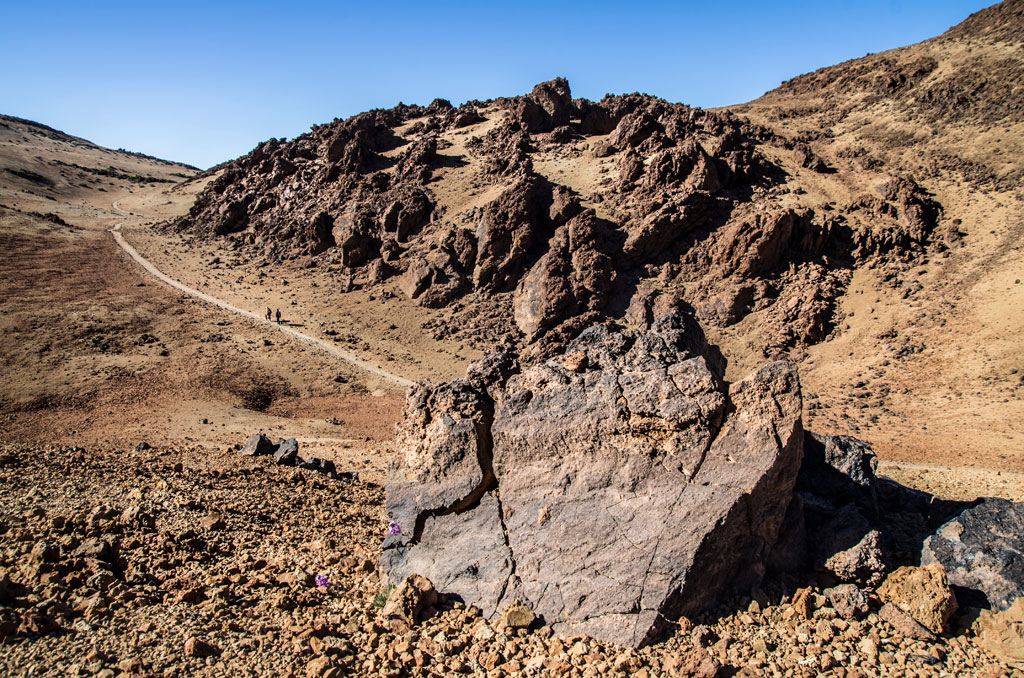
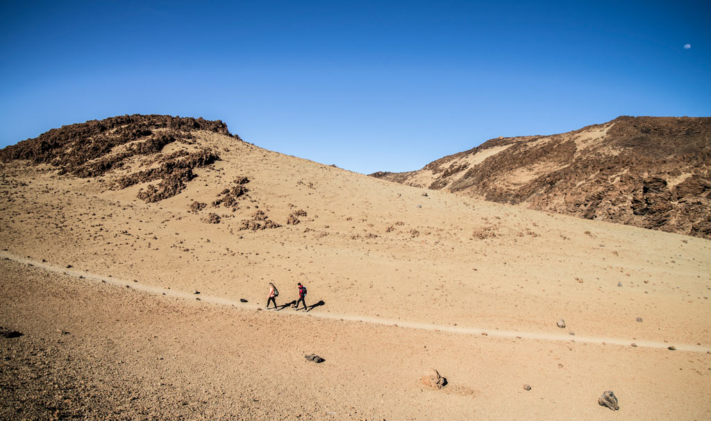
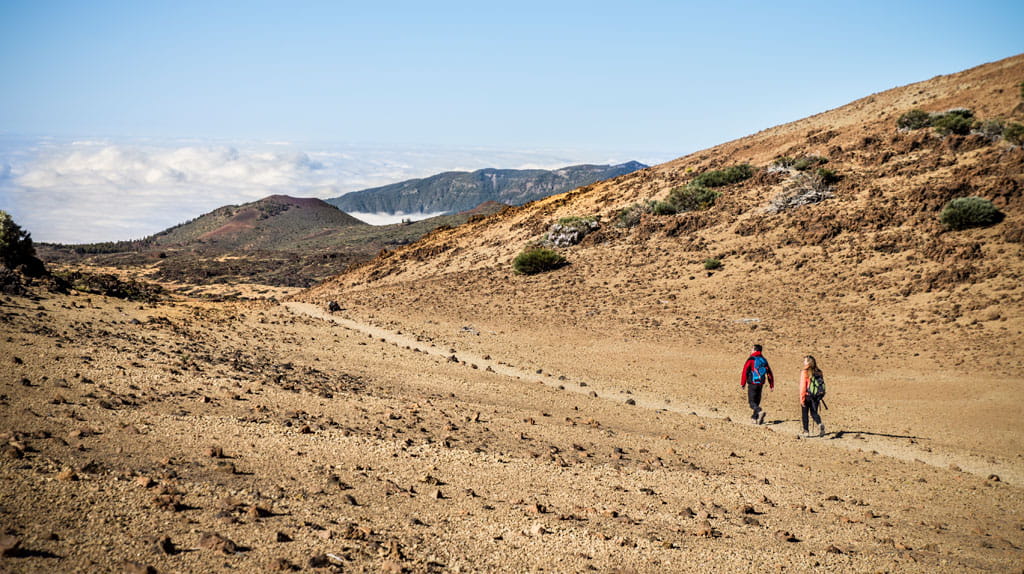
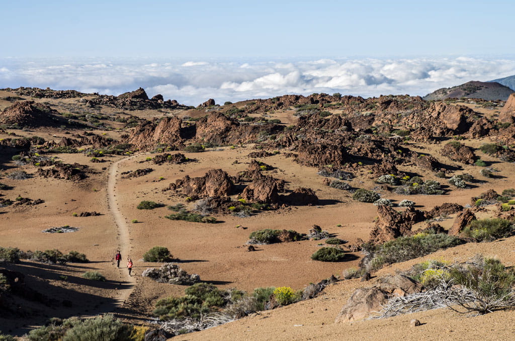
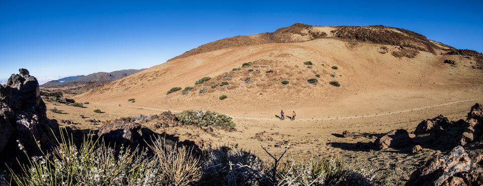
This trail links Montaña Blanca - Pico Teide Trail 7 to Montaña de Los Tomillos Trail 6, skirting around the domes of Montaña Blanca and Montaña Rajada. This easy trail affords walkers magnificent views of these two volcanic peaks. The ground all along the trail is covered with pumice stones as a result of the violent Plinian eruptions from Montaña Blanca.
Hypsometry
For your own safety, don't forget to check the condition of the trail.
The competent authority will be responsible for informing you if the trail is not recommendable in the wake of adverse weather conditions, as well as if the trail or part of it is closed, etc.
- Competent authority: Teide National Park
- About the competent authority: 27. Montaña Rajada
![]() In case of an emergency, call 112.
In case of an emergency, call 112.
Download FRESS 112, available for iOS and Android
Weather Today
Maximum: 28º
Minimum: 21º
Orotava (La). The weather will be fine on Thursday morning. In the afternoon there will be some mist. At night the fog will cause reduced visibility. Temperatures will remain unchanged.