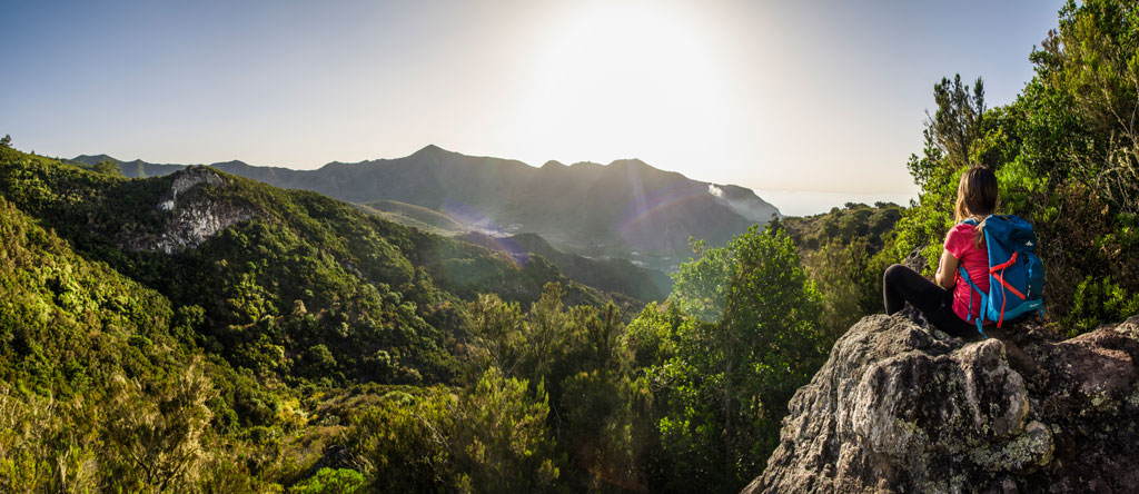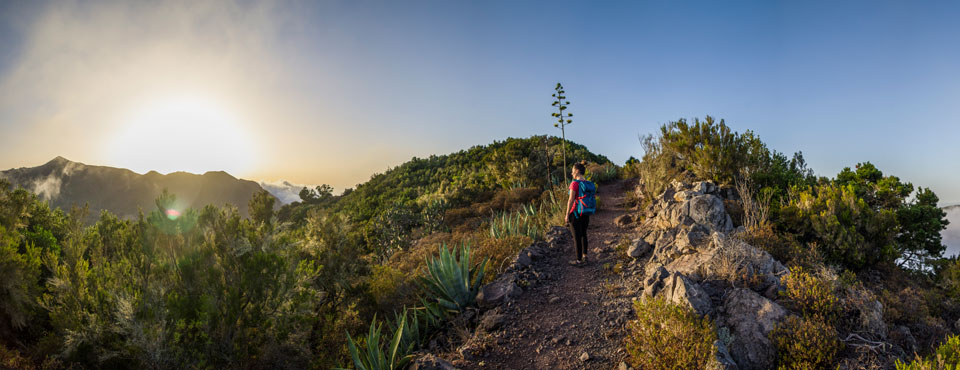
PR-TF 52.1 Monte del Agua via Las Huertas
Technical information
- Start: Monte del Agua Track
- Finish: El Palmar
- Approval status: Approved
- Degree of difficulty: Low
- Type of trail: Linear
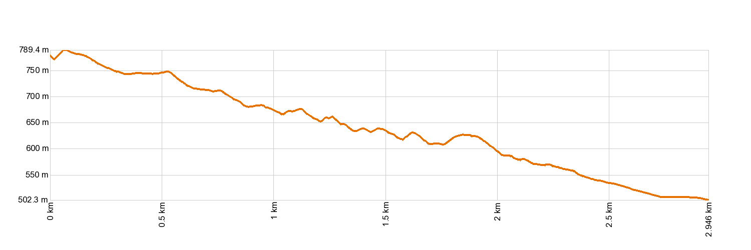
- Distance: 2.5 km (12.89 ft)
- Duration: 1 hour
- Highest altitude: 788 m (12.89 ft)
- Lowest altitude: 505 m (12.89 ft)
- Elevation gain: 66 m (12.89 ft)
- Elevation loss: 345.32 m (12.89 ft)
- Links to other trails:
- Protected Nature Areas:
- Authorisation required: No
- Competent authority: Tenerife Council
- About the competent authority: PR-TF 52.1 Monte del Agua via Las Huertas
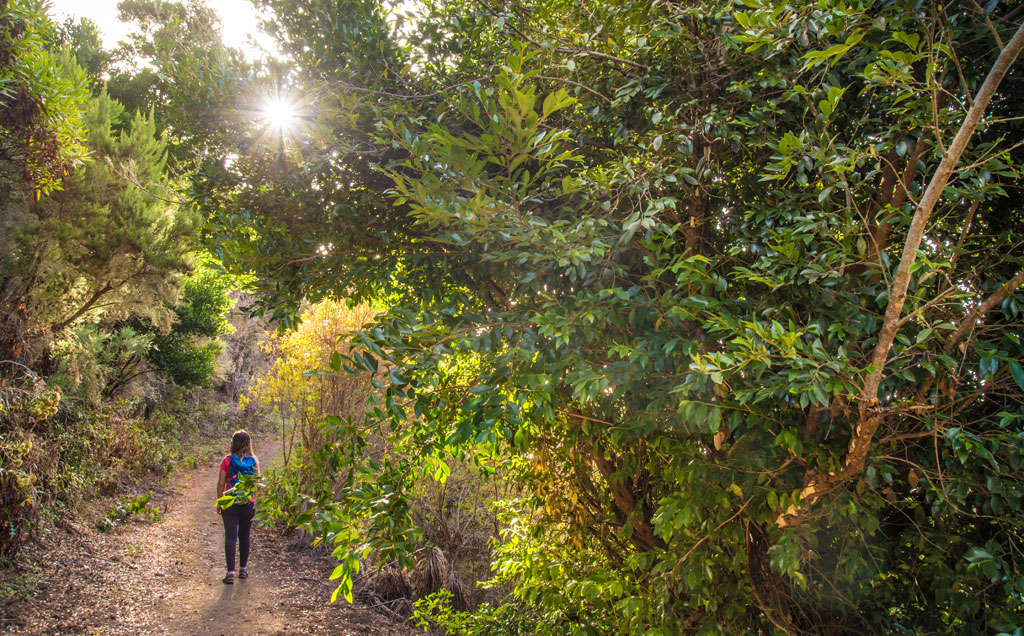
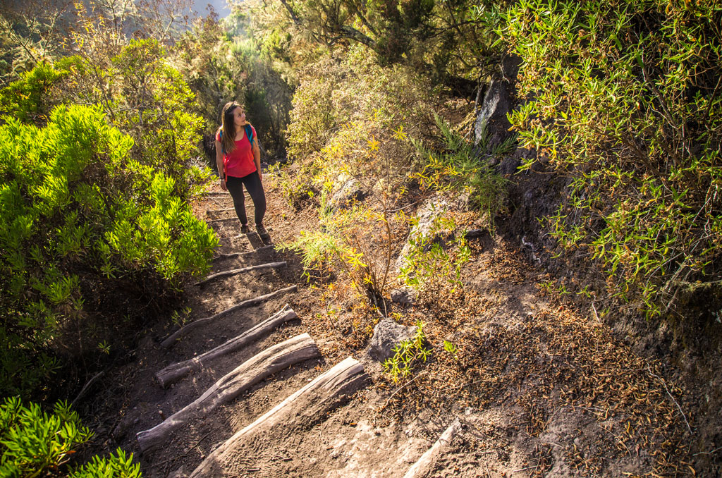
Trail description
Once you have completed the PR-TF 52 Erjos - Las Portelas (Monte del Agua) trail, head south along Calle El Risquete until you reach the entrance to Las Huertas. You will then climb up towards Talavera for about 1 km (0.62 miles). Next, turn southwards along a path that leads to Monte del Agua via La Cumbrita de El Palmar.
Hypsometry
For your own safety, don't forget to check the condition of the trail.
The competent authority will be responsible for informing you if the trail is not recommendable in the wake of adverse weather conditions, as well as if the trail or part of it is closed, etc.
![]() In case of an emergency, call 112.
In case of an emergency, call 112.
Download FRESS 112, available for iOS and Android
Weather Today
Maximum: 27º
Minimum: 20º
Los Silos. The weather will be fine all Monday long. Temperatures will remain unchanged.