PR-TF 43.2 Los Partidos de Franquis - Chinyero
Technical information
- Start: Pino Loro
- Finish: Chinyero Circular trail
- Approval status: In progress
- Degree of difficulty: Low
- Type of trail: Linear
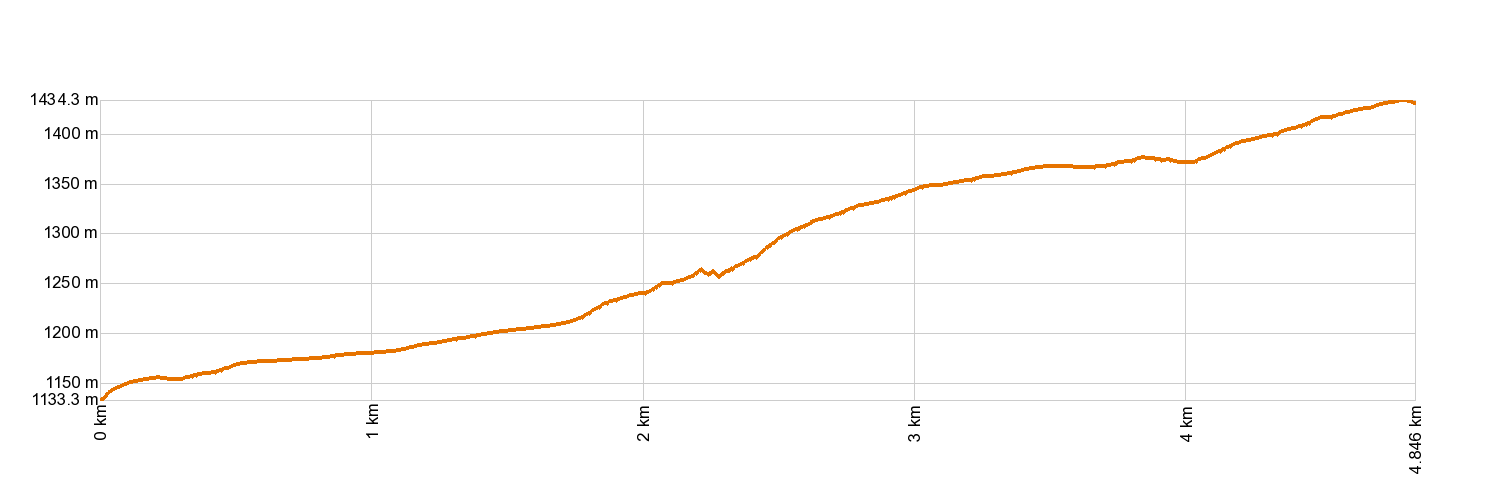
- Distance: 4.7 km (12.89 ft)
- Duration: 1 hour 45 mins.
- Highest altitude: 1,437 m (12.89 ft)
- Lowest altitude: 1,135 m (12.89 ft)
- Elevation gain: 323.39 m (12.89 ft)
- Elevation loss: 31.51 m (12.89 ft)
- Links to other trails:
- Protected Nature Areas:
- Authorisation required: No
- Competent authority: Tenerife Council
- About the competent authority: PR-TF 43.2 Los Partidos de Franquis - Chinyero
Trail description
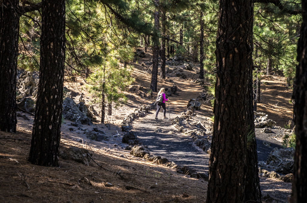
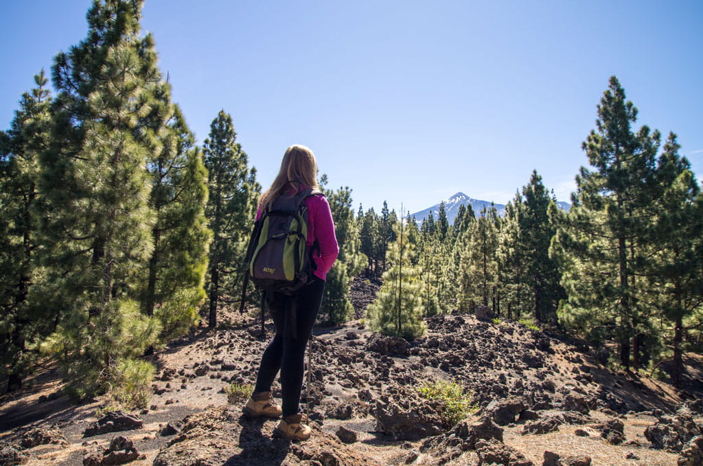
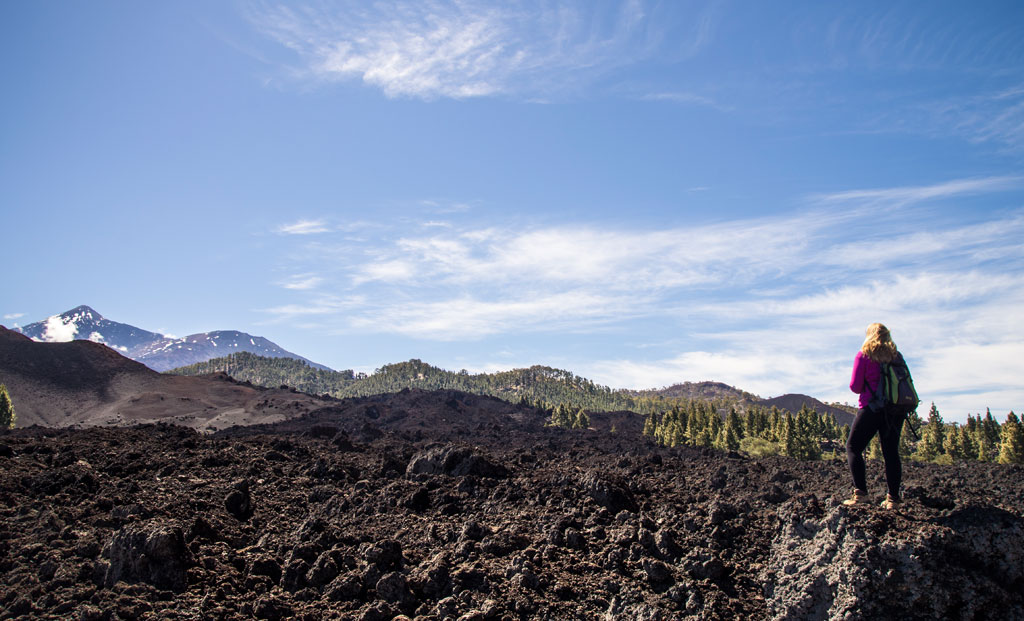
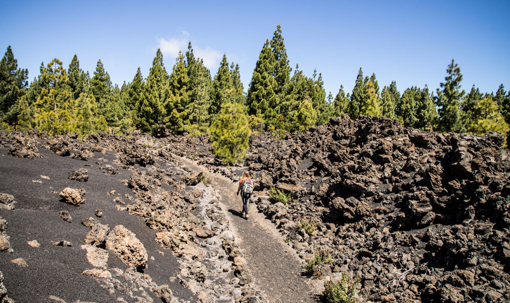
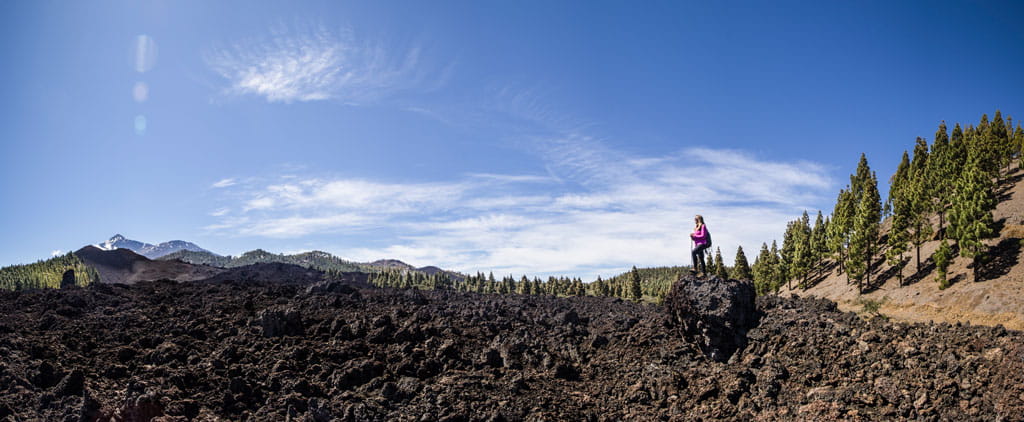
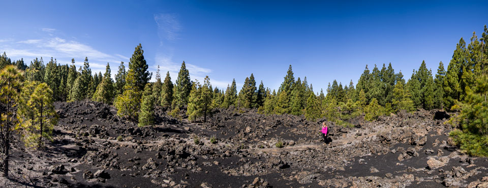
The journey starts in Santiago del Teide at kilometre point 13.9 on the TF-373 road, which is where the Pino Loro track begins. Follow that track to La Montaña de Los Riegos. There, the trail turns off the track onto an old footpath to join the track and water channel of Vergara. Carry on up the foot of Montaña de la Cruz until the trail comes to the PR-TF 43 Garachico - Chinyero Mountain track.
Hypsometry
For your own safety, don't forget to check the condition of the trail.
The competent authority will be responsible for informing you if the trail is not recommendable in the wake of adverse weather conditions, as well as if the trail or part of it is closed, etc.
![]() In case of an emergency, call 112.
In case of an emergency, call 112.
Download FRESS 112, available for iOS and Android
Weather Today
Maximum: 28º
Minimum: 20º
Santiago del Teide. Sunny skies on Thursday morning. In the afternoon clouds will alternate with sunshine. At night the sky will be totally clear. Temperatures will remain unchanged.