PR-TF 83 Altos de Granadilla
Technical information
- Start: Cruz de Tea
- Finish: Los Escurriales
- Approval status: In progress
- Degree of difficulty: High
- Type of trail: Linear
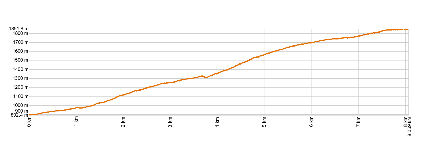
- Distance: 7.8 km (12.89 ft)
- Duration: 3 hours 30 mins.
- Highest altitude: 1,860 m (12.89 ft)
- Lowest altitude: 894 m (12.89 ft)
- Elevation gain: 1,000.38 m (12.89 ft)
- Elevation loss: 37.38 m (12.89 ft)
- Links to other trails:
- Protected Nature Areas:
- Authorisation required: No
- Competent authority: Tenerife Council
- About the competent authority: PR-TF 83 Altos de Granadilla
Trail description
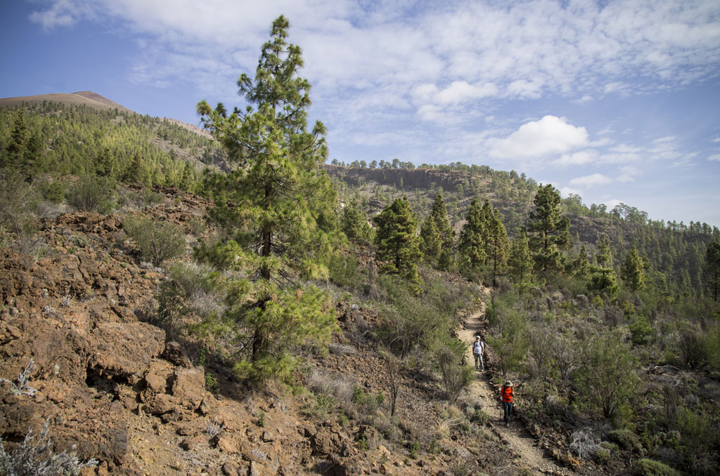
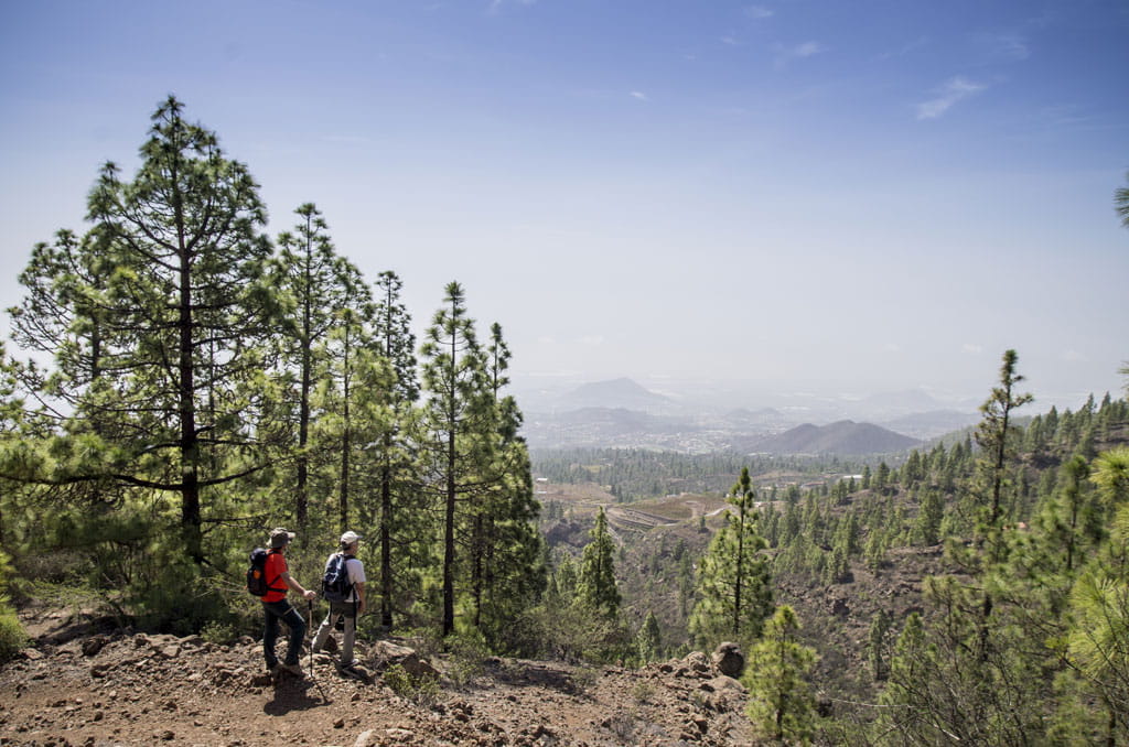
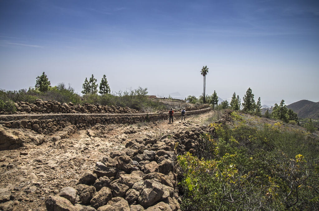
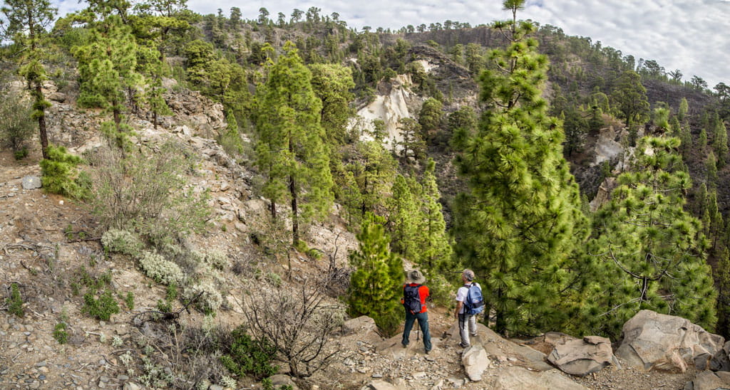
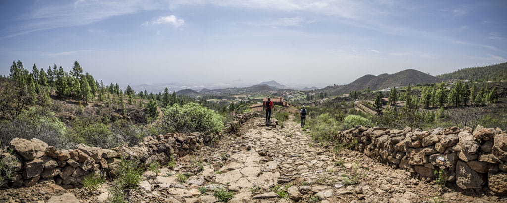
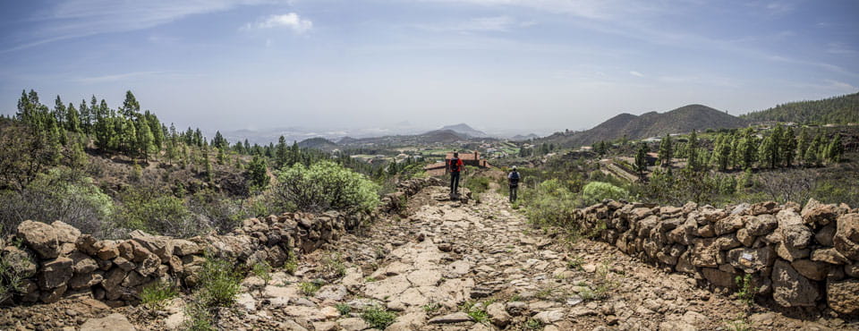
Starting from the hamlet of Cruz de Tea (in the municipality of Granadilla de Abona), the trail journeys up through the streets until it comes to a branch of the old Royal Pathway of Chasna, which will lead you to Casa de Los Malejos. Carry on upwards and through the hamlet of Las Crucitas. After that, you can choose to take the PR-TF 83.2 Pathway of La Corredera that will take you to the village of Las Vegas. Alternatively, you can carry on up the PR-TF 83 Altos de Granadilla trail, the Madre del Agua Royal Pathway and the Valle Ucanca Pathway, then across the Madre del Agua Trail and up to the area of Los Escurriales, along a stretch of the PR-TF 72 Vilaflor - Lunar Landscape - Vilaflor route.
Hypsometry
For your own safety, don't forget to check the condition of the trail.
The competent authority will be responsible for informing you if the trail is not recommendable in the wake of adverse weather conditions, as well as if the trail or part of it is closed, etc.
![]() In case of an emergency, call 112.
In case of an emergency, call 112.
Download FRESS 112, available for iOS and Android
Weather Today
Maximum: 30º
Minimum: 22º
Granadilla de Abona. Sunny skies all Thursday long. Temperatures will remain unchanged.