PR-41 TF El Socorro Beach - Mount Teide (Route 0.4.0)
Technical information
- Start: El Socorro Beach
- End: Mount Teide summit
- Approval status: Approved
- Degree of difficulty: Very high
- Type of route: Linear
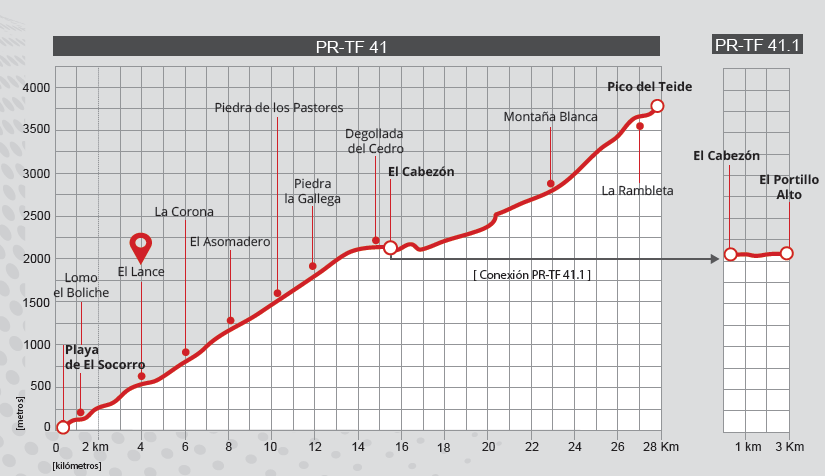
- Distance: 56 km
- Maximum height: 3718 m
- Minimum height: 0 m
- Accumulated ascent elevation: 4000 m
- Accumulated descent elevation: 4000 m
- Connections with other paths:
- Protected Natural Areas:
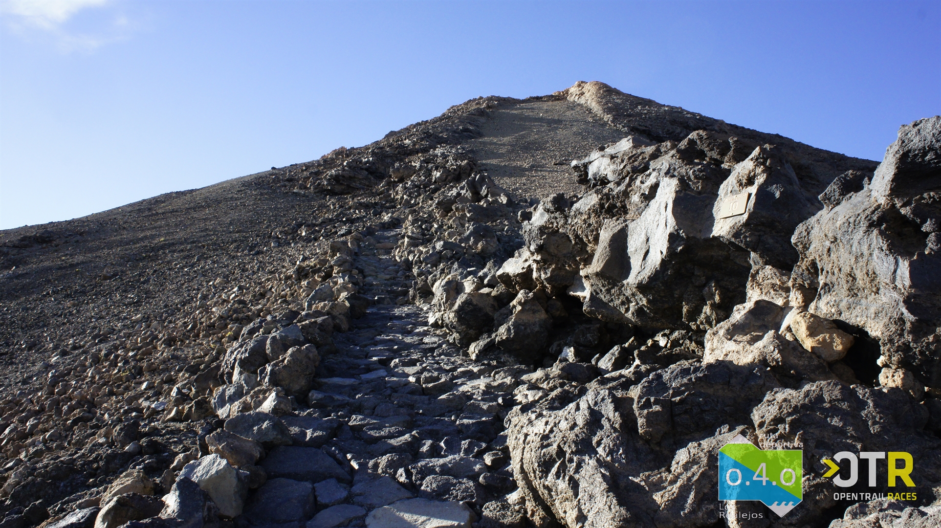
- Authorisation required: Yes, after La Rambleta to access Path No. 10 Telesforo Bravo and to reach the summit of Mount Teide.
Description of the route:
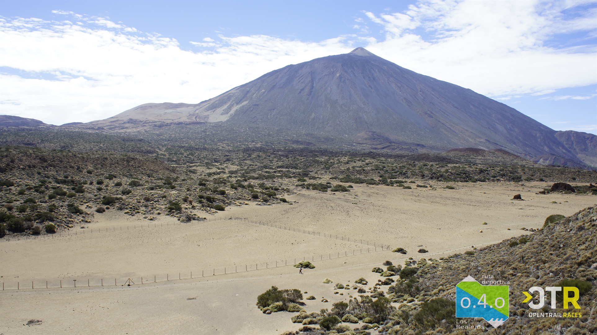
Route 0.4.0 turns a dream into reality: covering, in a single day, the distance between the sea shore and a colossus of almost four thousand metres of altitude - Mount Teide.
Are you fit enough to take on this challenge? We encourage you to begin the adventure: tackle the most challenging route in Spain in terms of elevation gain, an iconic route at a national level and one of the toughest in Europe. If you're a fan of mountain racing, Route 040 should be your next trail running challenge in Tenerife.
This is a round trip: 27.7 kilometres uphill, 56 kilometres in total. It is ideal for both walking, which can be completed one way in an average of 12 hours, or running, which reduces the time to 4-6 hours, again just in one direction.
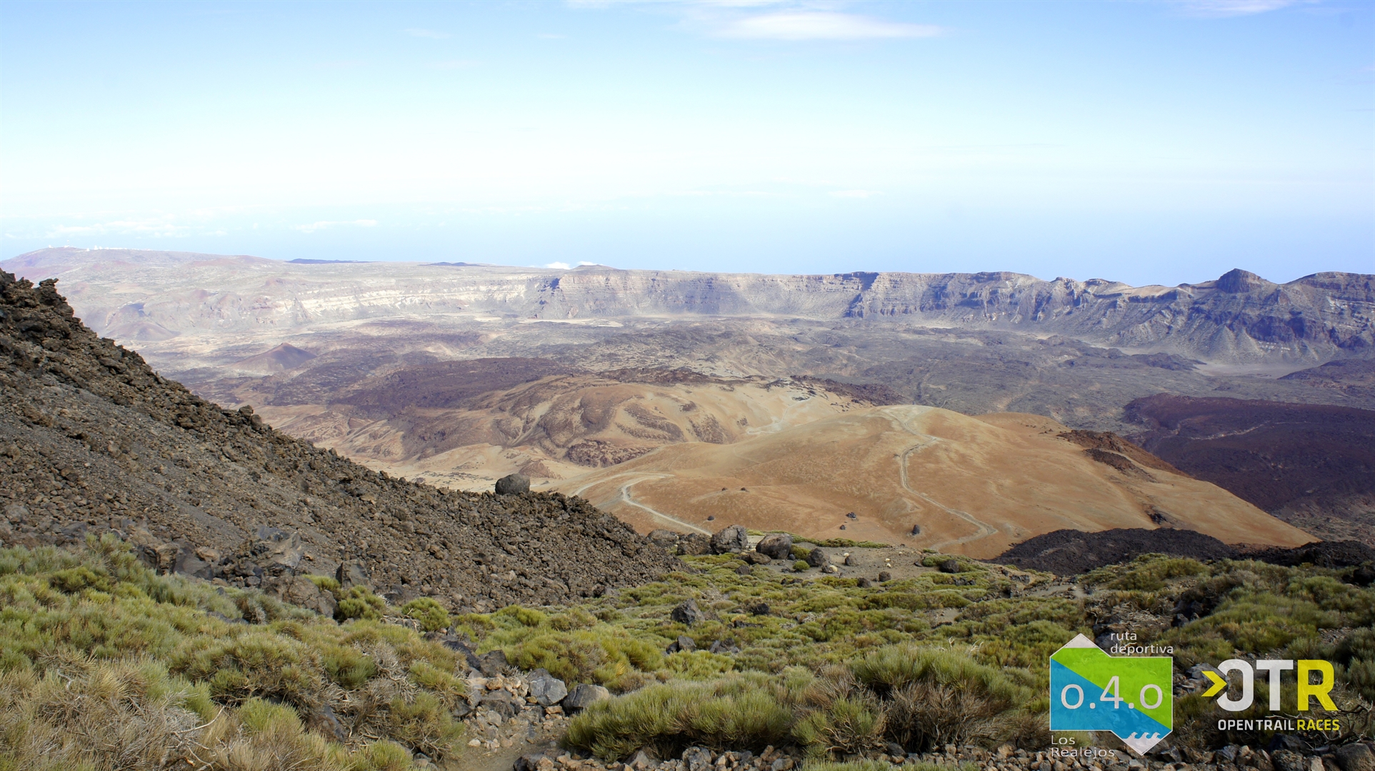
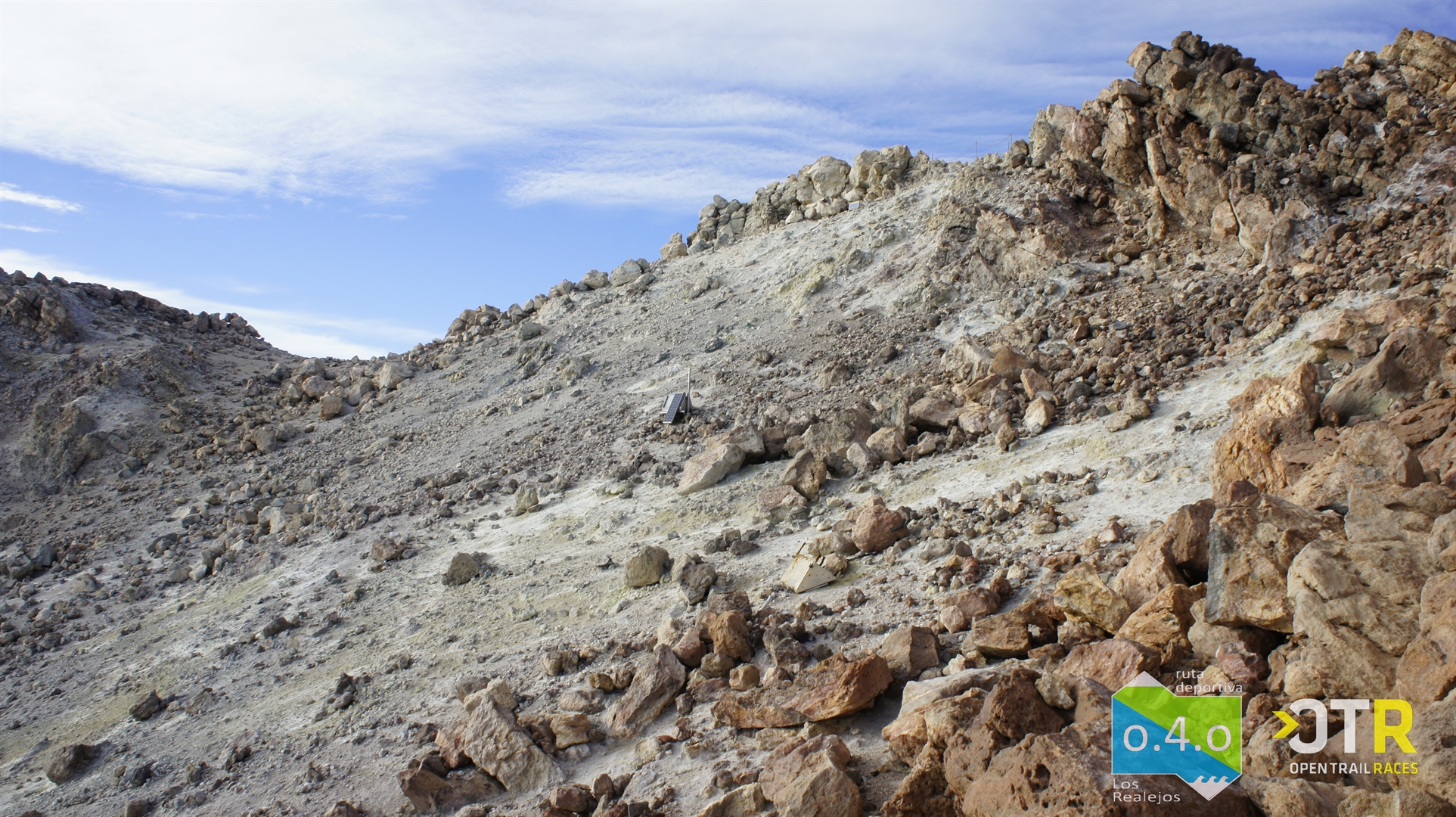
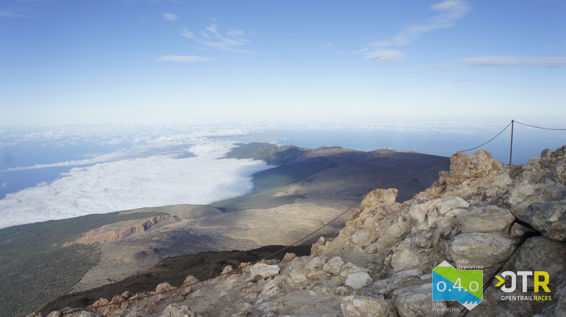
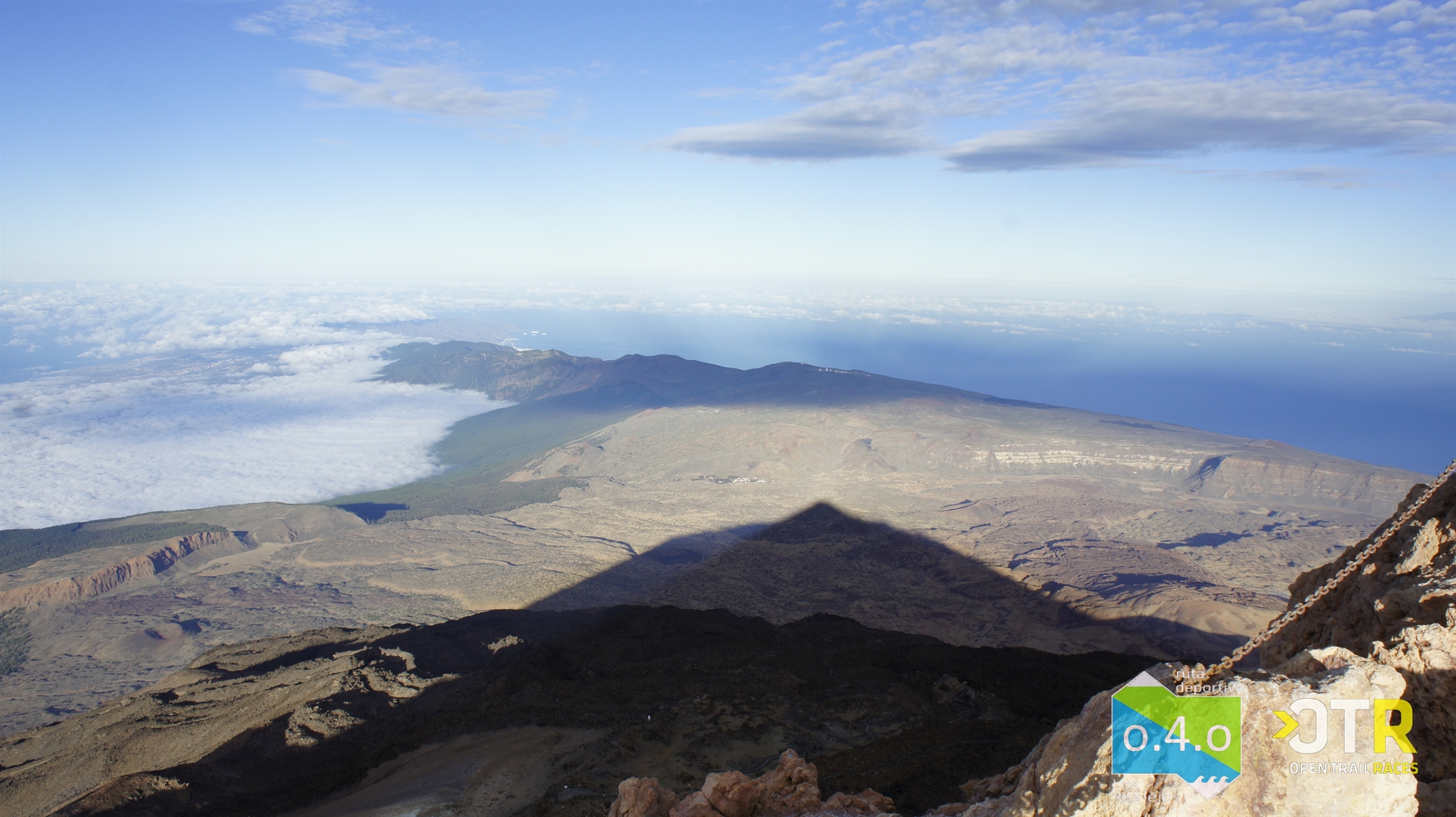
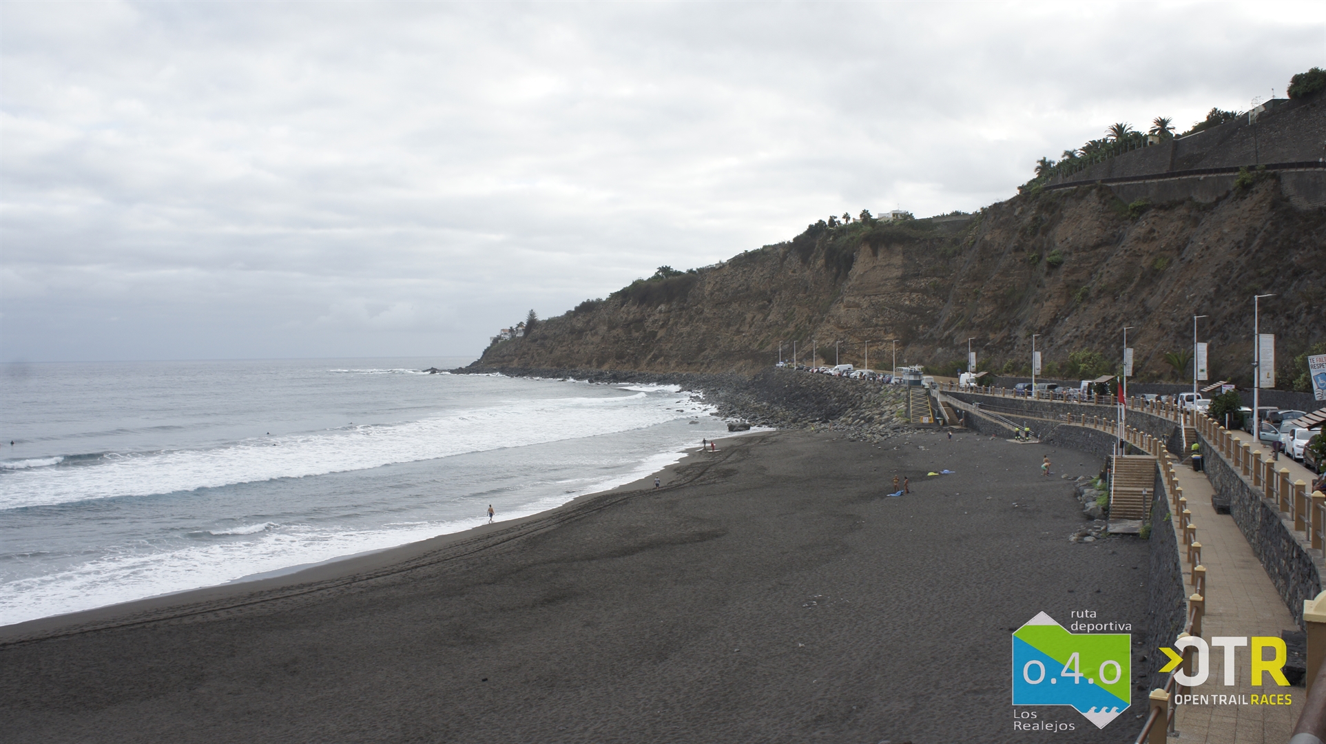
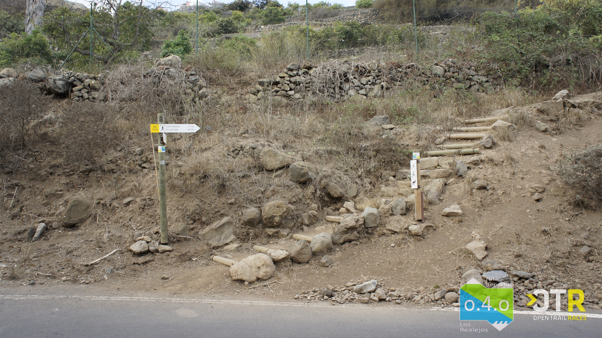
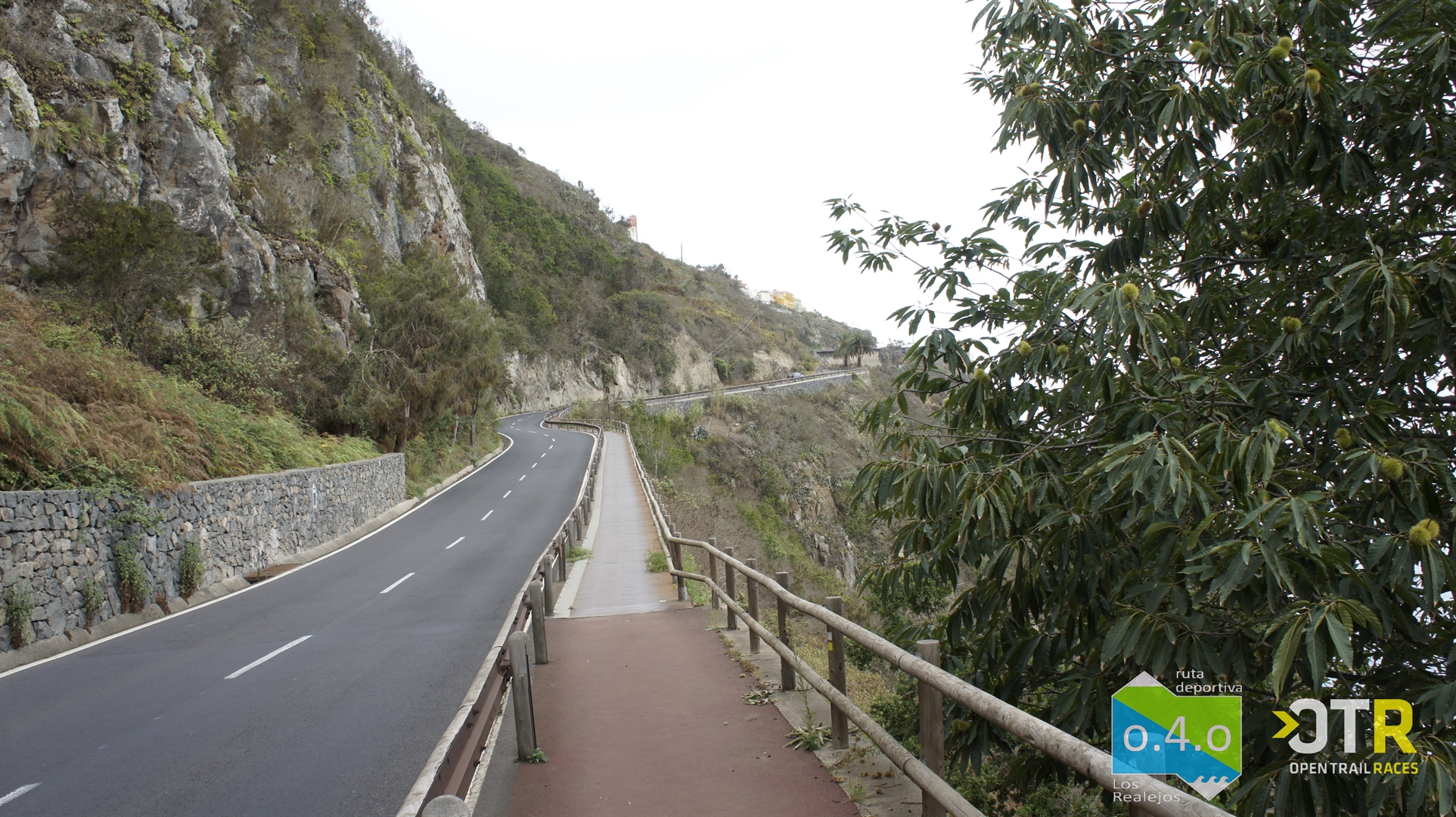
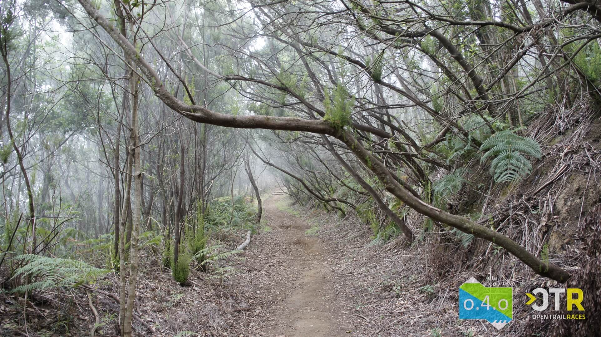
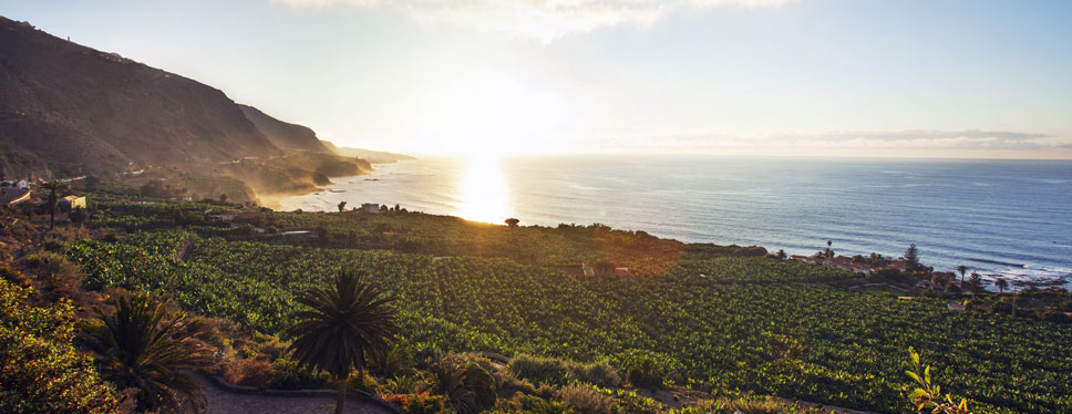
It starts at El Socorro Beach, in Los Realejos, and coincides with the PR-TF 41. The first few kilometres cross a rural environment and the slopes of the Los Campeches, Tigaiga and Ruiz protected landscape. A steep climb leads to the La Corona viewpoint and, shortly after, to the El Asomadero viewpoint. From there on, the mountain brush of the Corona Forest Natural Park is at the fore.
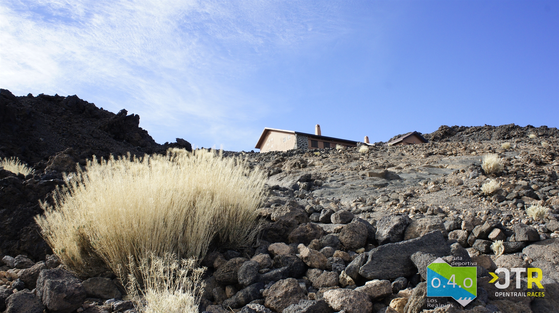
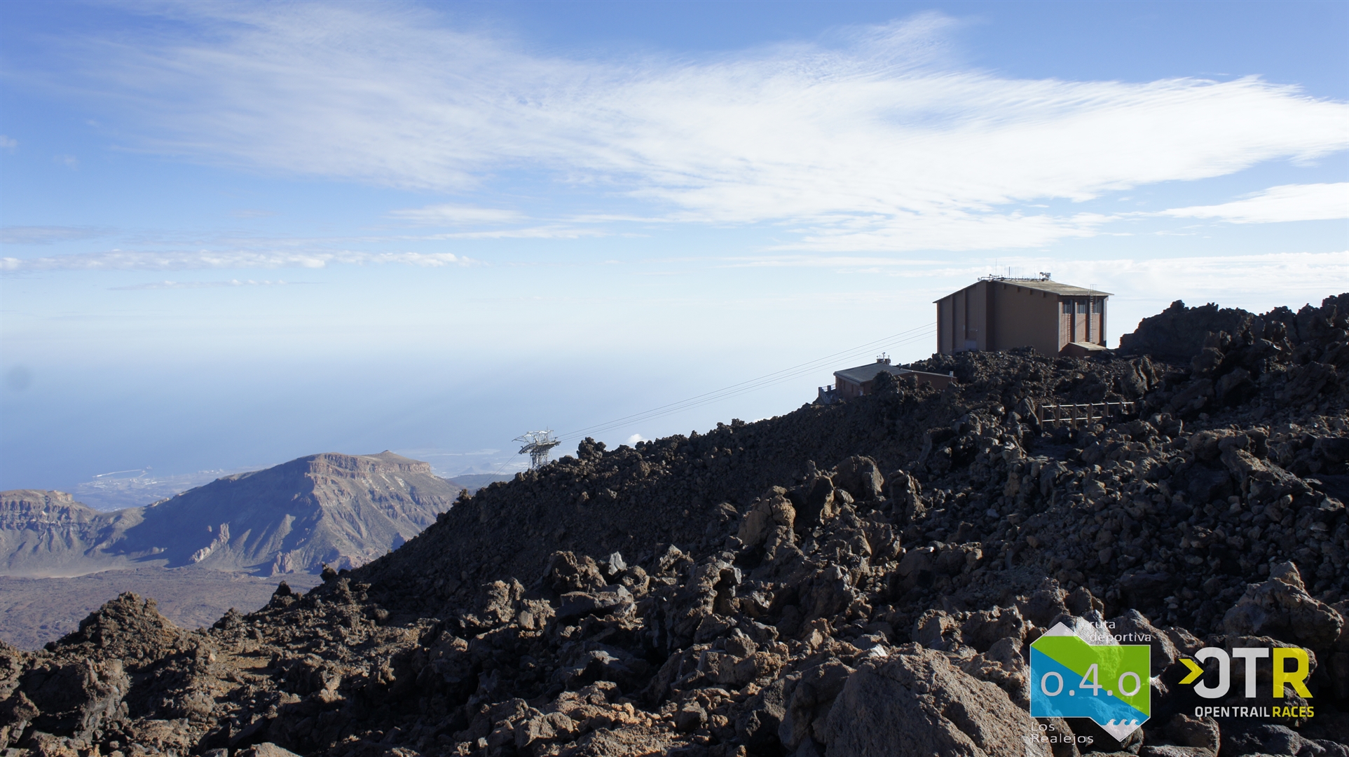
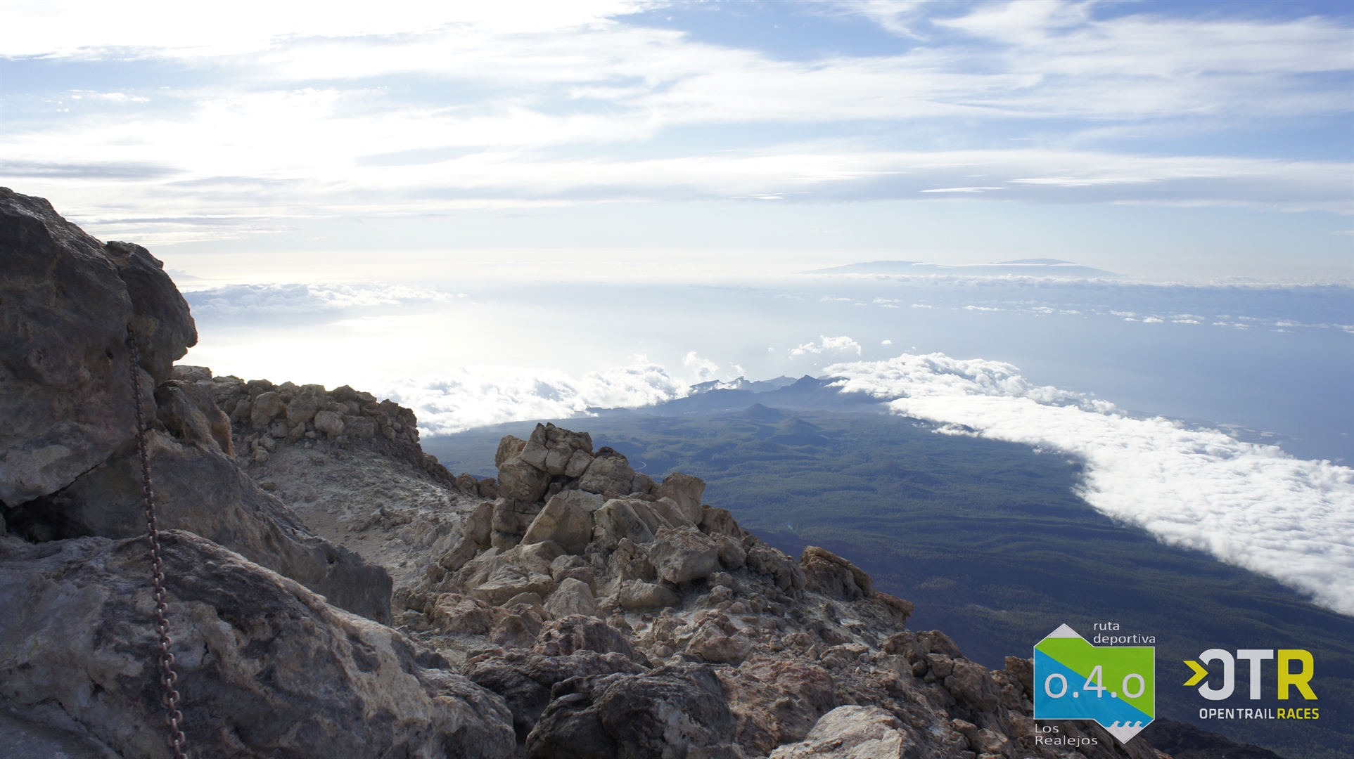
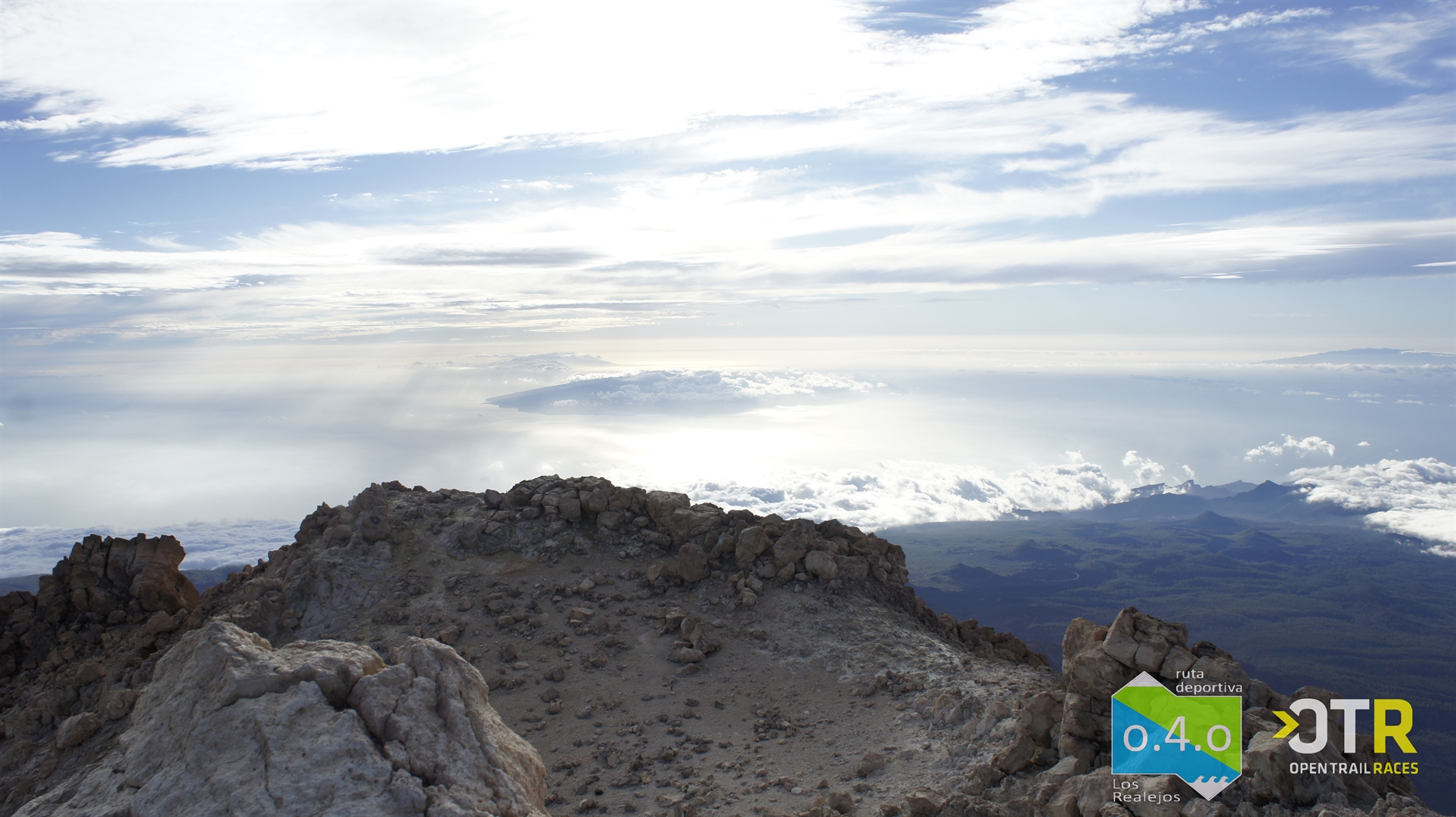
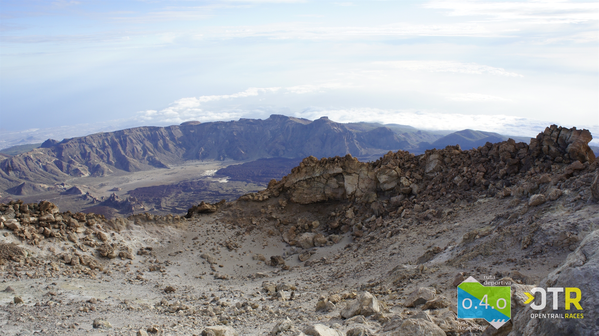
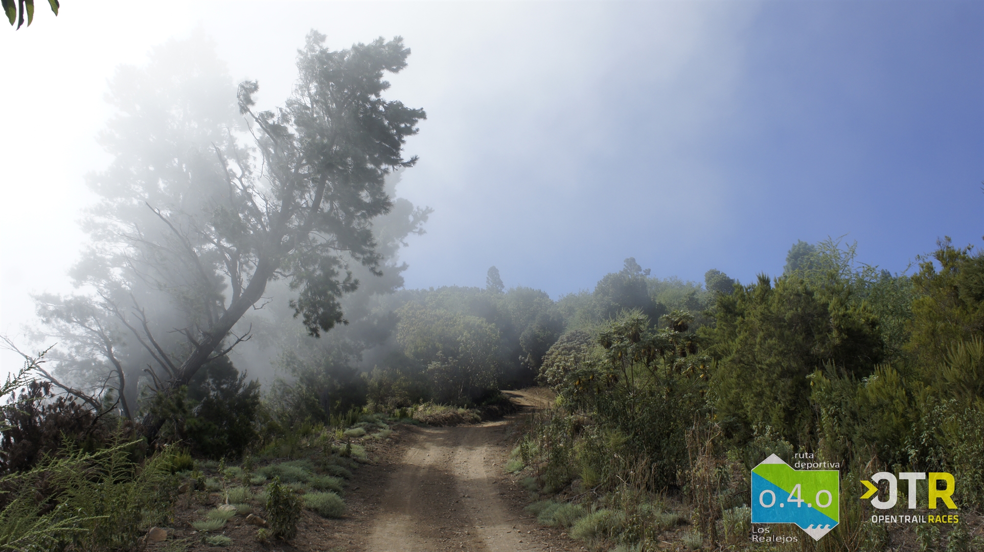
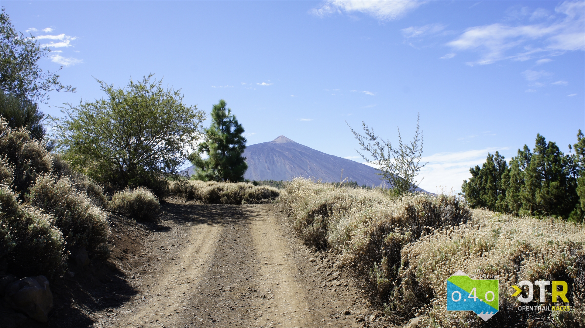
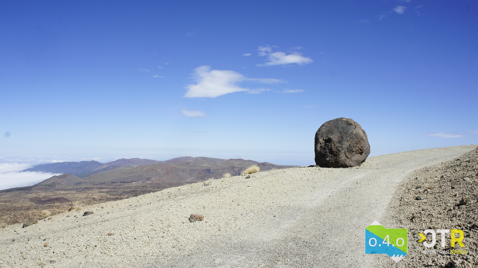
Half way up our ascent, the pine forest gives way to the high mountain scrub of Mount Teide National Park. As you approach El Cabezón Mountain, you can opt for the PR-TF 41.1 path to Portillo Alto or for the winding ascent up La Rambleta (3555 m). This point can be reached without needing a permit, but to climb the last 630 metres and reach the summit of Mount Teide you will need to have a permit, which can be requested in advance on the website www.reservasparquesnacionales.es.
Open Trail Races App
For an all-round experience, the Open Trail Races app has created the GPX of the route. With this OPEN TRAIL RACES smartphone app you’ll get your certification for having covered the route, showing the time taken and your overall rating and category rating.
You’ll find all the information about the app at opentrailraces.com.
All trail runners who complete it will automatically receive a certificate via email when finished, which you’ll be able to share on your social media accounts.
Recommendations to take into account before venturing onto Route 040:
Route 0-4-0 is a very challenging route that requires you to adapt to the altitude and demands great physical and mental resistance.
The climb can be very hard if you’re not used to the altitude haven't done specific strength training to be able to reach the last few kilometres to the summit with the necessary endurance to overcome the lack of oxygen and the heavy muscular load. You should be clear that this is going to involve hours of continuous ascent, with only a small respite at around 2000 metres, carrying the weight of the recommended supplies and water.
Once you reach the top, there remains what for many will be the most difficult part, enduring a 4,000 metre descent with all the associated impact on your joints and muscles. It is essential to have done intense resistance training to be able to reach the finish line.
Hydration will be vital, and will require you to have arranged a refreshment station along the way so as not to carry so much water. At the refuge you’ll find a vending machine that works only with coins.
Bear in mind that in Mount Teide National Park there are two months of the year when hunting is permitted - May and October - although only on Mondays, Wednesdays and Fridays from 07:00 to 17:00. On these days and times it is not possible to access the route (you can find more information at the following link volcanoteide.com)
Before you begin the route, and if you plan to stay at the refuge or simply to replenish your water supplies in its coin-operated vending machines, check first that it is not temporarily closed for some reason (for example, it is currently not open due to Covid-19 prevention). You can check this here, where the information is regularly updated: volcanoteide.com
Water vending machines are available at the upper Teide Cable Car station - remember to bring coins if you want to use them. In any case, you should be aware that the water may run out, depending on the demand that there has been. This station will only be open when the cable car is operating, which is from 09:00 to 17:00.
Calculating your energy consumption and bringing enough food to recharge your batteries will also be essential for reaching the goal in the best possible physical condition.
The route is very well signposted and you can cover it without the need for GPS. Nevertheless, carrying a GPS with you will give you more peace of mind on stretches within the park where there are fewer signs, particularly if you are doing it at night.
- Supply of water
- First aid kit
- Thermal blanket
- Fully charged mobile phone
- Fully charged external battery
- GPS device to follow the track
- Energy supplies (energy foods)
- Supplements (salts, vitamins…)
- Windbreaker
- Front and rear lights, both fully charged.
- Sun protection depending on schedule (cap, sunglasses, sun cream)
Height profile
warning ACCESS RESTRICTIONS FOR MOUFLON HUNTING
Weather Today
Remember: Prevention, Information and Knowledge are the key to avoiding unpleasant situations.