13. Sámara
Technical information
- Start: Sámara Lookout Point
- Finish: Sámara Lookout Point
- Approval status: Not officially approved
- Degree of difficulty: Low
- Type of trail: Circular
- Distance: 5.1 km (12.89 ft)
- Duration: 2 hours 45 mins.
- Highest altitude: 2,103 m (12.89 ft)
- Lowest altitude: 1,873 m (12.89 ft)
- Elevation gain: 308 m (12.89 ft)
- Elevation loss: 308 m (12.89 ft)
- Links to other trails:
- Protected Nature Areas:
- Authorisation required: No
Trail description
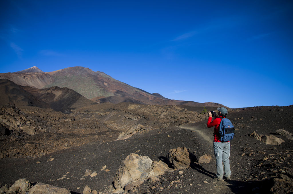
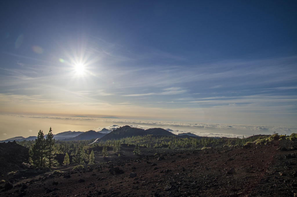
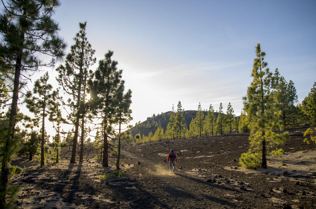
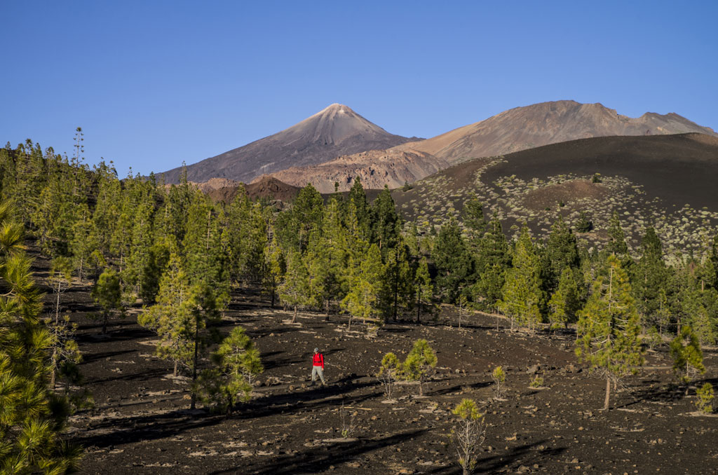
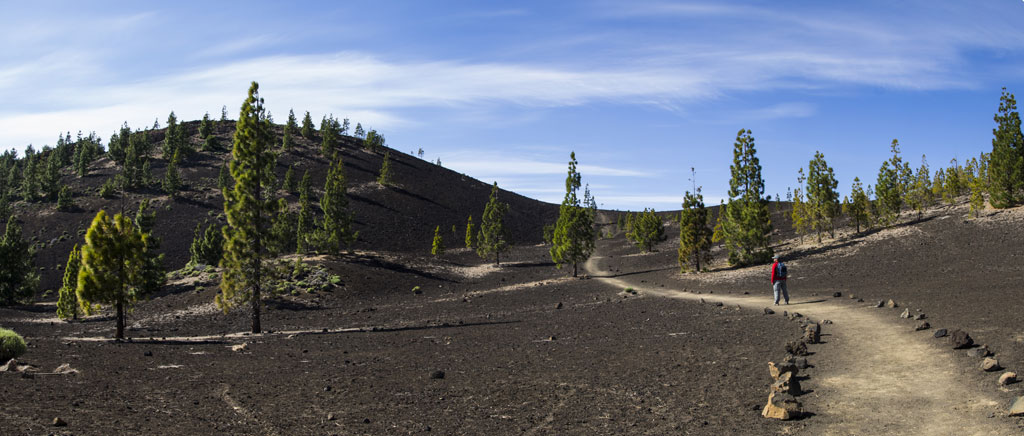
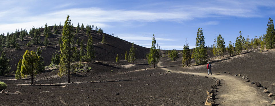
At the beginning of the trail, hikers have the option to climb up to the peak of the Sámara volcano, where there are stunning views over a series of volcanic cones, as well as the peaks of El Teide and Pico Viejo. It also looks out over the beautiful Canarian pine forest, which thrives in recently active volcanic lands. The ground all along the trail is made of dark tephra (lapilli and scoria). It is relatively flat with a few easy slopes. In addition to pine trees, you will see plenty of brooms, laburnums and peak roses. The animals you are most likely to glimpse are kestrels and Tenerife lizards. Canarian chiffchaffs, Berthelot's pipits, blue tits and spectacled warblers are the most common bird species in the area. Great grey shrikes also inhabit these landscapes, among the pine trees and broom bushes, though they are a less common sight.
Hypsometry

For your own safety, don't forget to check the condition of the trail.
The competent authority will be responsible for informing you if the trail is not recommendable in the wake of adverse weather conditions, as well as if the trail or part of it is closed, etc.
- Competent authority: Teide National Park
- About the competent authority: 13. Sámara
In case of an emergency, call 112.
Weather Today
Maximum: 25º
Minimum: 16º
Orotava (La). Calm weather on Thursday morning. In the afternoon, sunny skies. At night it will be foggy. Temperatures will remain unchanged.