PR-TF 55 Los Silos-Talavera-El Palmar
Technical information
- Start: Talavera
- Finish: Los Silos
- Approval status: Approved
- Degree of difficulty: Intermediate
- Type of trail: Linear
- Distance: 5.0 km (12.89 ft)
- Duration: 2 hours 30 mins.
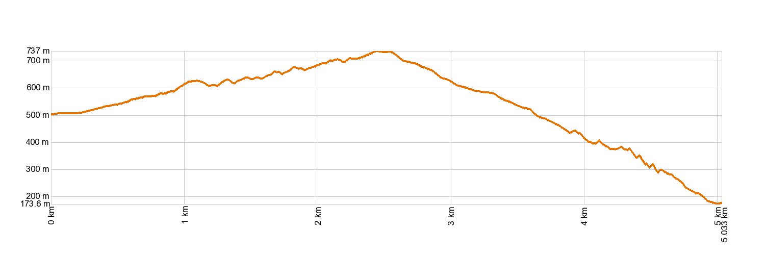
- Highest altitude: 774 m (12.89 ft)
- Lowest altitude: 165 m (12.89 ft)
- Elevation gain: 320.73 m (12.89 ft)
- Elevation loss: 658.68 m (12.89 ft)
- Links to other trails:
- Protected Nature Areas:
- Authorisation required: No
- Competent authority: Tenerife Council
- About the competent authority: PR-TF 55 Los Silos-Talavera-El Palmar
Trail description
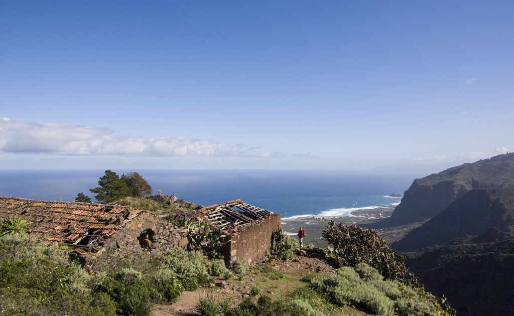
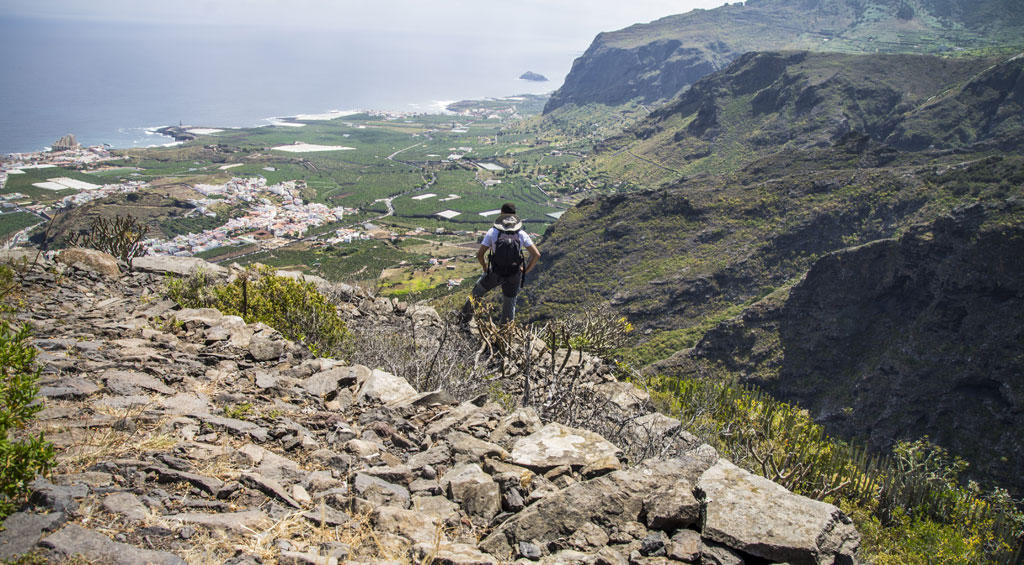
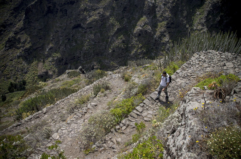
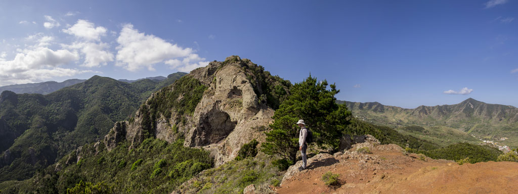
The trail starts in the Pina area, near the town centre of Los Silos. It journeys along the west side of the Pasos ravine up to Casas de Talavera. Carry on up the side of the ravine until you come to the ridgeline, which marks the boundary between the municipalities of Los Silos and Buenavista. Carry on up the ridge until the path turns downwards towards the farmland. This last stretch follows the border between El Palmar and Monte del Agua. Carry on along Calle Susana and El Risquete until you come to Las Canales.
Hypsometry
For your own safety, don't forget to check the condition of the trail.
The competent authority will be responsible for informing you if the trail is not recommendable in the wake of adverse weather conditions, as well as if the trail or part of it is closed, etc.
![]() In case of an emergency, call 112.
In case of an emergency, call 112.
Download FRESS 112, available for iOS and Android
Weather Today
Maximum: 25º
Minimum: 18º
Los Silos. There will be not a cloud in the sky all Friday long. Temperatures will remain unchanged.