Route 6
Lower South: Costa Adeje - Trasera de Los Cristianos - Las Galletas - El Médano - San Isidro - Granadilla - Carretera General del Sur - Los Cristianos - Costa Adeje
Technical information
- Start: Costa Adeje.
- Finish: Costa Adeje.
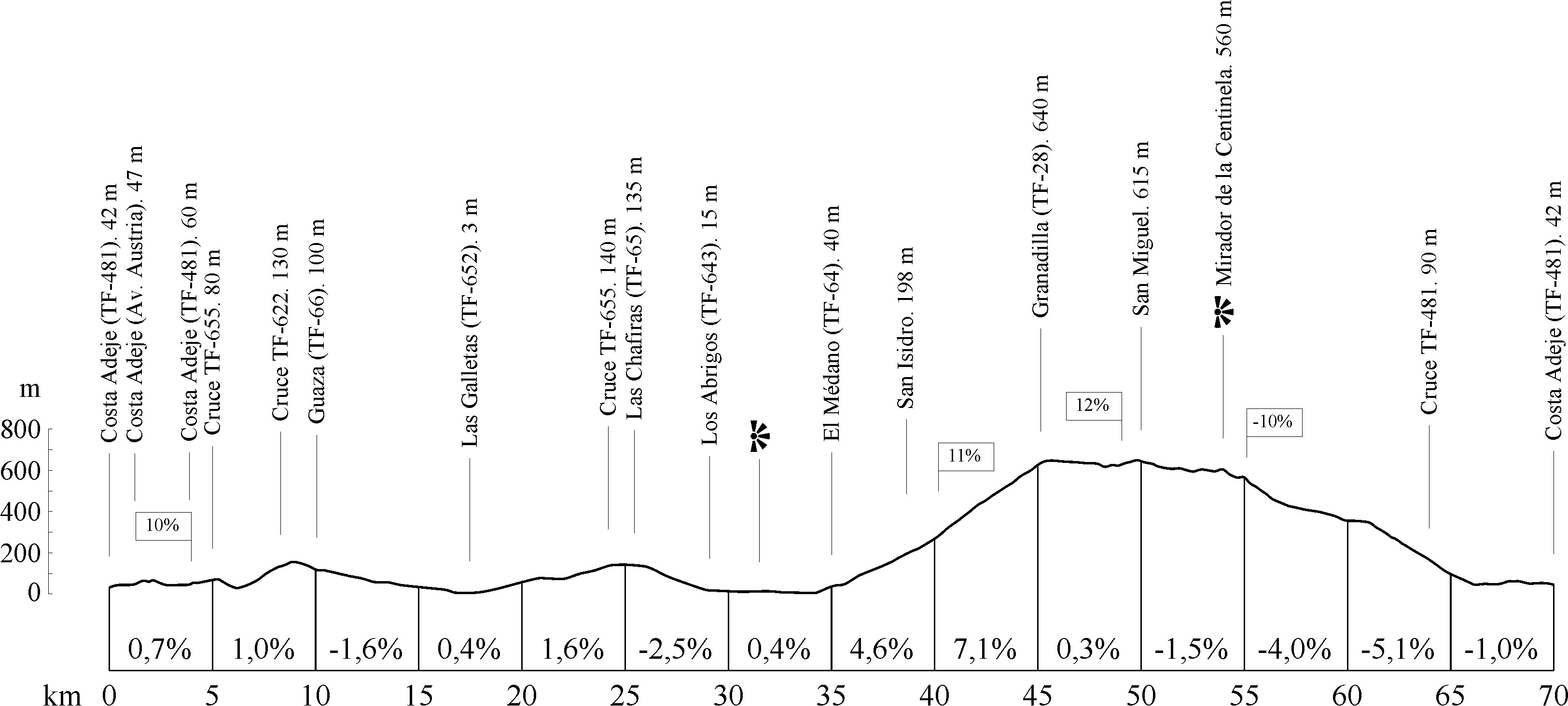
- Distance: 70 km (43.5 miles).
- Cumulative ascent: 1,368 m (4,488 ft).
- Average gradient: 4.4%.
- Maximum altitude: 703 m (1466 ft).
- Average speed: 22 kph (12.42 mph).
- Estimated duration: 3 hours 10 mins.
- Difficulty level: Low.
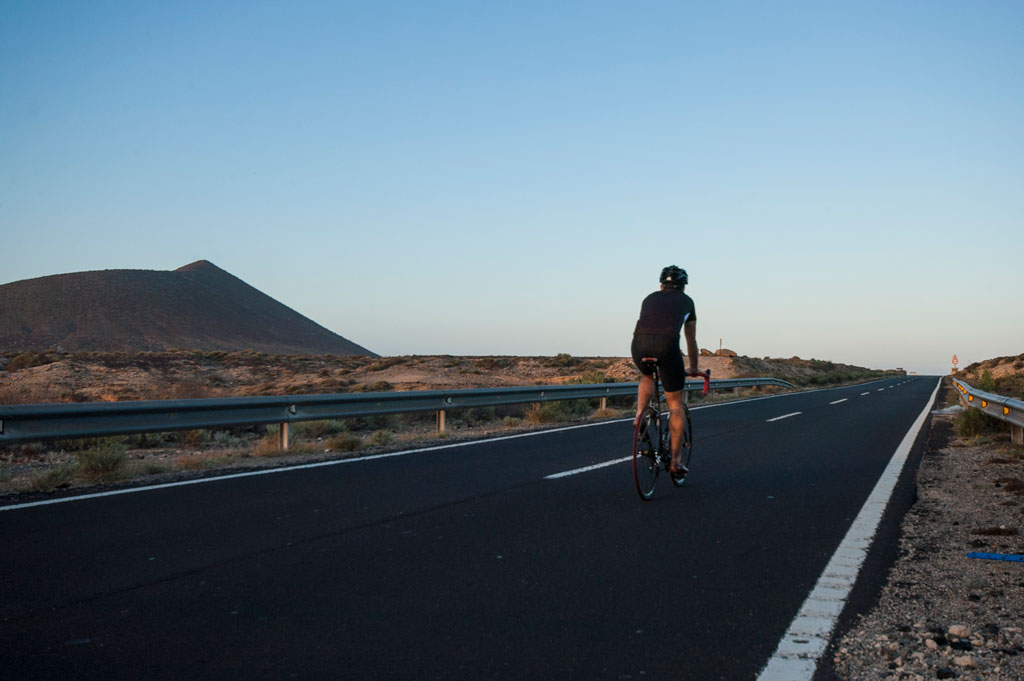
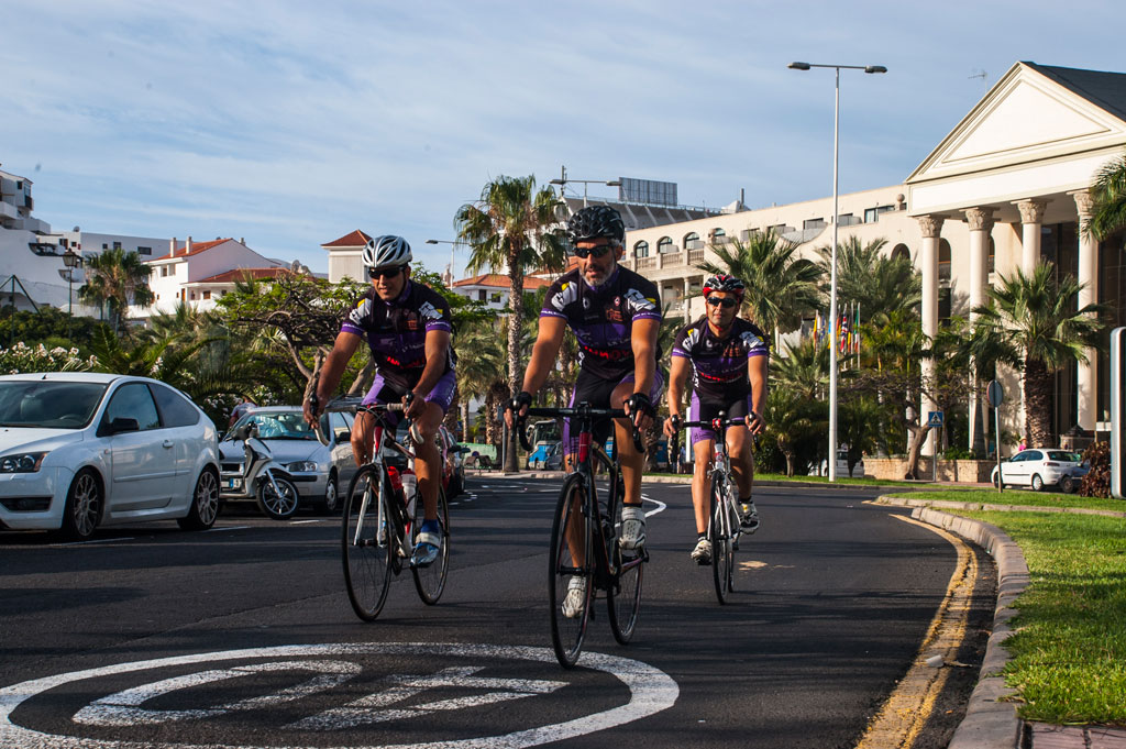
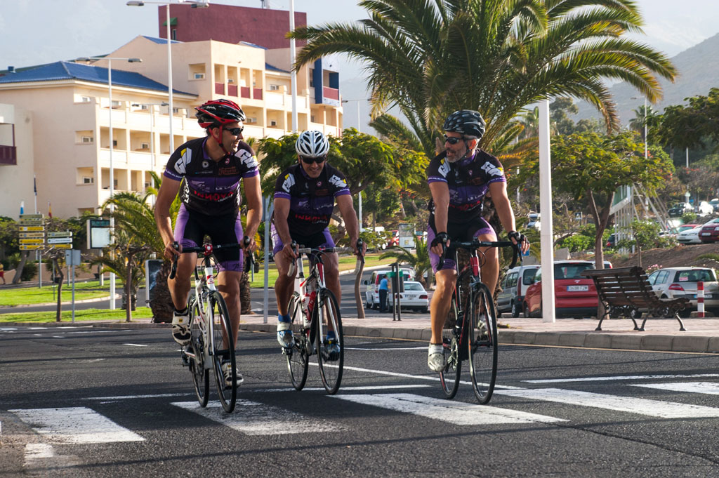
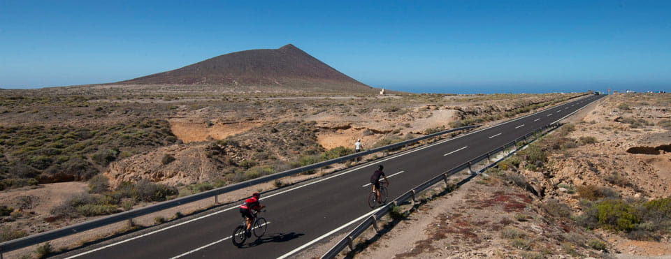
This is a circular route that starts and finishes in the tourist resort of Costa Adeje. The route travels along the south of the Island. It is quite a comprehensive route, with sections that follow the coastline and others that venture inland. This means you will get to take in different types of scenery along the way.
You will start at Avenida Francisco Ucelay in Costa Adeje, and will climb from there towards the TF-1 motorway. Once there, you will turn right onto the TF-481 towards San Eugenio. This road runs parallel to the TF-1 motorway before separating from it at km 1.25 (mile 0.78). Take a left here to cross the motorway and cycle along Avenida Austria. You will cross back over the motorway at km 4.25 (mile 2.64), and once again take the TF-481 up to the crossroads with the TF-28. Turn right there and cycle down the TF-655. This is a two-lane dual carriageway which will take you to Los Cristianos.
As the TF-655 crosses Avenida Chayofita at a roundabout, you should turn left to access the avenue. Then, take another left turn at the next roundabout to get back onto the TF-655. The road will take you out of the town to km 8 (mile 5), where you will have to turn left to take the TF-662. You will see the Guaza mountain rising to your right. The road takes you under the TF-1 motorway and then continues parallel to it on a slightly hilly road with little traffic.
As you come to the crossing with the TF-66 road, turn right to take that road towards the sea, which is signposted Las Galletas. By this point, you will have reached an altitude of 100 m (328 ft). You will then cross below the TF-1 motorway and begin a non-stop descent until you reach the seaside town of Las Galletas which you will circle along its northern side. Next, take the TF-652 northbound, where you will come to a gentle uphill stretch with a gradient of no more than 4%. After the town of Guargacho, you will reach the TF-1 motorway once again, where you will have to turn right to take the TF-655 towards Las Chafiras. When you come to a large roundabout, turn right to take the TF-65 towards El Guincho and Los Abrigos.
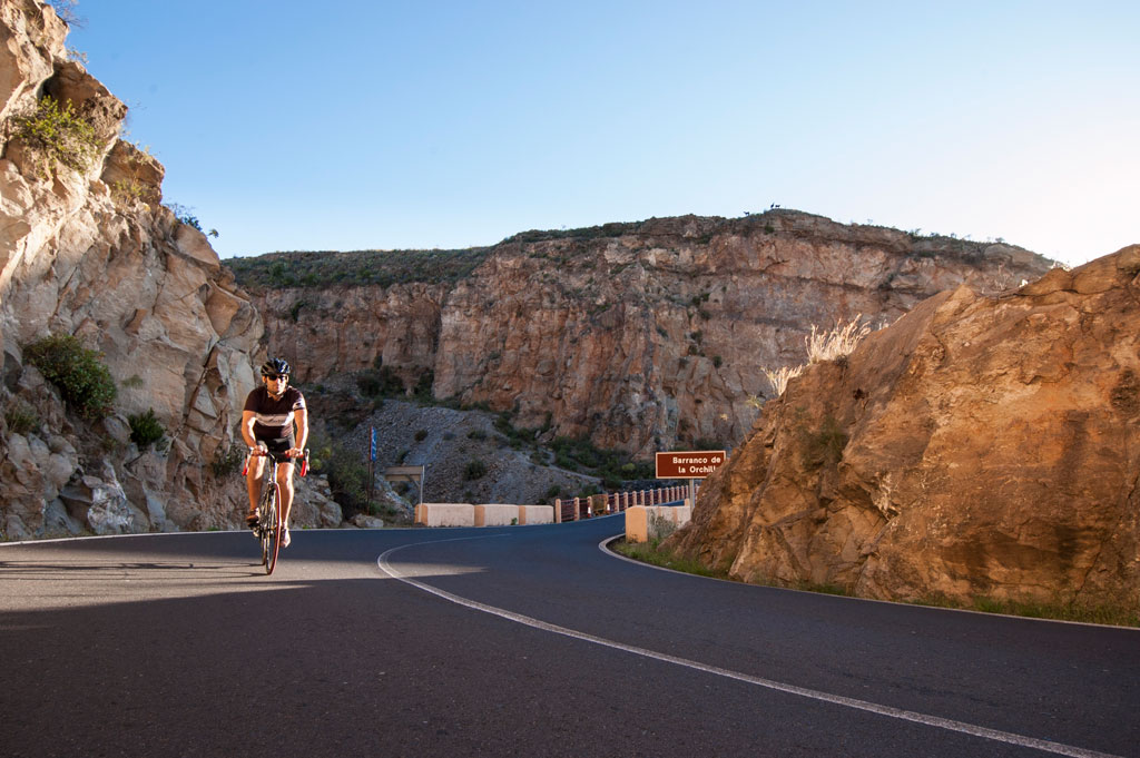
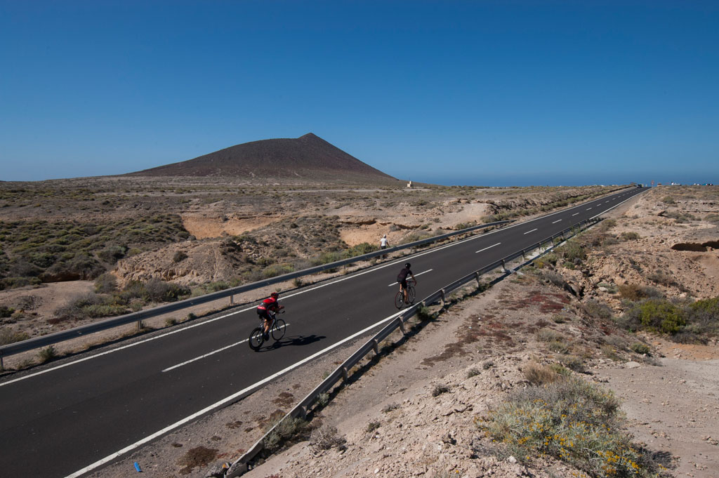
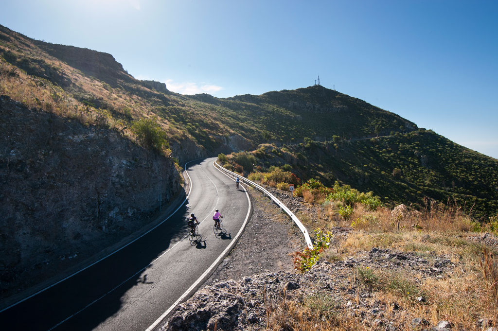
At km 28.5 (mile 17.7), you will reach the seaside town of Los Abrigos. Carry on along the TF-643, which runs parallel to the coast and is practically flat. At km 32 (mile 19.9), you will come to the La Tejita beach, with the protected natural area of Montaña Roja (the Red Mountain) looming above it. Once the mountain is behind you, you will come to El Médano, another coastal town that is very popular among tourists and a great location for all kinds of water sports. As you circle the town, you will reach a crossroads with the TF-64. Take it and head for the mountain, towards San Isidro. This section is entirely uphill. Stick to the same road, which leads you up to Granadilla, at an altitude of 640 m (2,100 ft), with an average gradient of 6%.
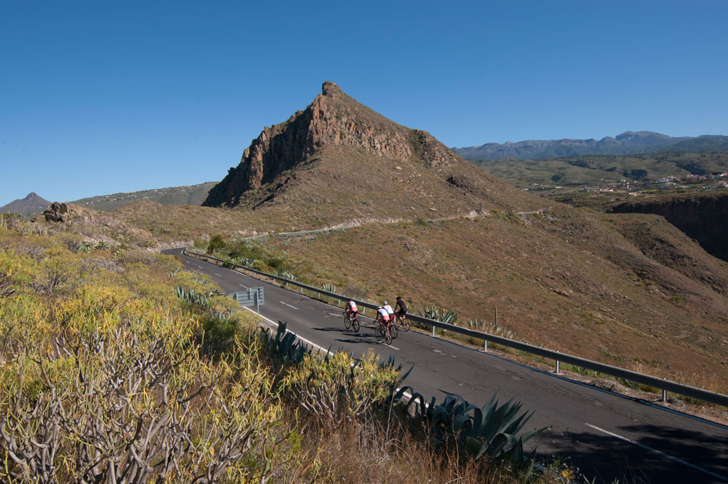
From here to the end of the route, you will stay on the TF-28 which has the occasional uphill stretch but is mostly composed of flat and downward stretches. After passing El Charco del Pino and San Miguel, you will reach the Centinela lookout point at km 54 (mile 33.5), where you will get great views of the south side of the Island and of the beautiful Centinela mountain. Afterwards, you will cross through the towns of Valle San Lorenzo and La Camella, and at km 64 (mile 39.8) you will come to a junction alongside the TF-1 motorway, where you must take the TF-481 (a one-way service road) towards Las Américas. Stick to that side of the motorway and you will eventually join Avenida Austria, followed by Avenida Europa. At the end of the avenue, you will come to a roundabout. Turn right onto the TF-481, which takes you under the TF-1 motorway to the end of the route, after a 70 km (43.5 mile) ride.
Hypsometry
Weather Today
Maximum: 29º
Minimum: 20º
Adeje. It will be good weather on Saturday morning. As the hours pass by, sunny skies. Mild temperature dropping.