Route 2
La Orotava - Teide National Park - La Esperanza - La Laguna - El Sauzal via Los Ángeles - La Matanza - Santa Ursula - La Orotava
Technical information
- Start: La Orotava. Roundabout between TF-21 and TF-324.
- Finish: TF-21 entering La Orotava.
- Distance: 98 km (60.9 miles).
- Cumulative ascent: 2,727 m (8,946 ft).
- Average gradient: 5.4%.
- Maximum altitude: 2,302 m (7,552 ft).
- Average speed: 19 kph (11.8 mph).
- Estimated duration: 5 hours.
- Difficulty level: High.
Route 2 is a 98 km (60.9 mile) round trip. It therefore starts and finishes in the same place: La Orotava. The route journeys across the north of the Island.
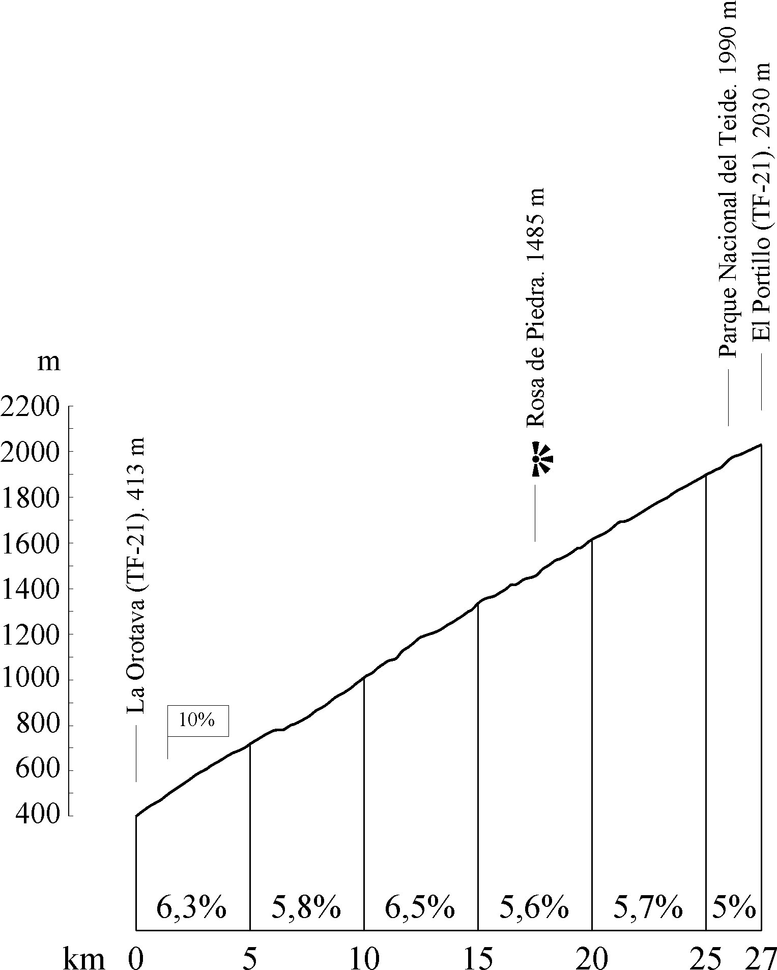
You will set off from the upper part of La Orotava, on a roundabout where the TF-21 road meets the TF-324.
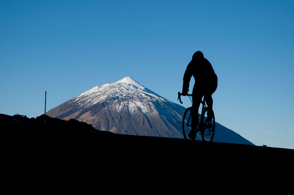
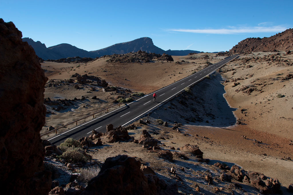
From there, take the TF-21 towards Las Cañadas del Teide. At km 17.5 (mile 10.9) you will come to the La Piedra lookout point, where you can treat yourself to a superb view of Mount Teide. Alongside the lookout point you will see La Rosa de Piedra (the Stone Rose) which, as its name suggests, is a beautiful rock formation shaped like a flower. Further up, at km 26 (mile 16.1), you will enter Teide National Park. This long, winding ascent, with an average gradient of nearly 6%, ends as you reach El Portillo, where the road meets the TF-24 and you reach km 27 (mile 16.8). Here, at an altitude of 2,030 m (7,552 ft), you will find a bar and restaurant for "refuelling" and a visitors centre where you can get useful information on the area.
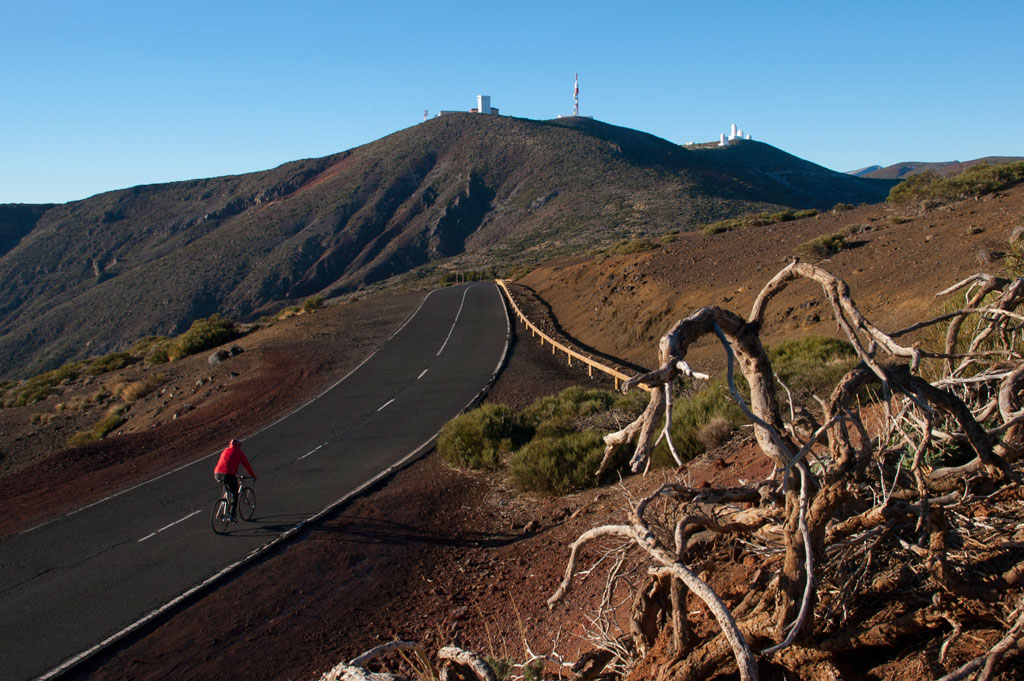
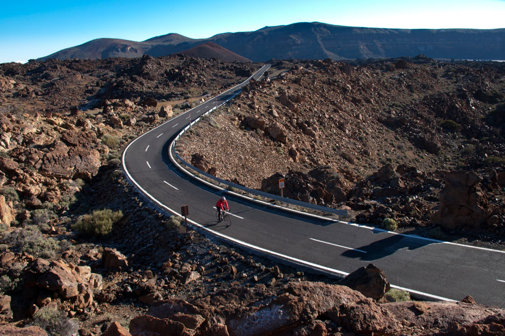
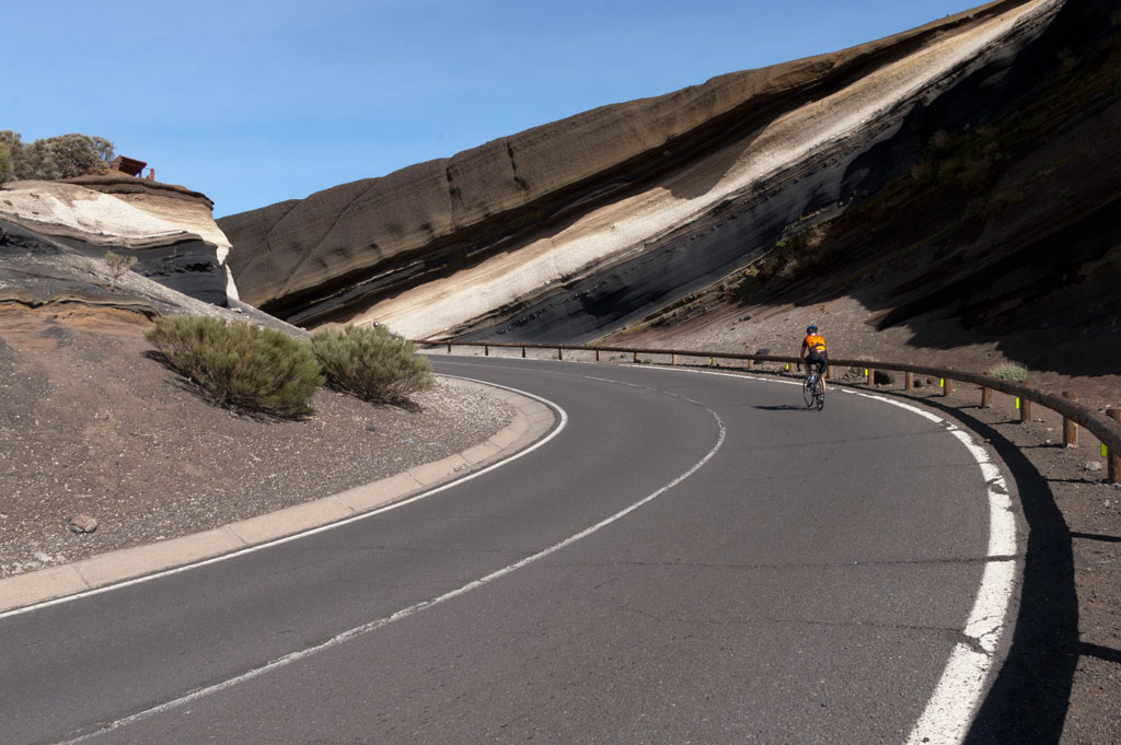
After that, take a left turn onto the TF-24 towards La Esperanza and Santa Cruz. This is where the climb begins to reach the highest point at 2,300 m (7,550 ft), in the area known as Izaña, which is famous for housing an astronomical observatory of great international renown. From that point onwards comes a long descent through the forest, passing a number of lookout points: La Tarta at km 37 (mile 23) which offers magnificent views of Mount Teide, and La Crucita. After that, you will leave Teide National Park behind you and enter the Corona Forestal natural area. Further ahead lies the Ayosa lookout point at 2,000 m (6,561 ft) and the Ortuño lookout point at 1,628 m (5,341 ft).
As you continue to descend along the TF-24, you will come to the city of La Laguna, where you need to take a left turn onto the TF-265 (signposted as Calle San Francisco de Paula). Once you reach the edge of the airport, at an altitude of about 600 m (1,968 ft), stay on the same road until you almost come to the TF-5. Before reaching the motorway, turn off onto Calle Lozoya and Camino el Vallado, and then cycle along Avenida de la Candelaria. When you reach the San Benito roundabout, head towards the Carretera General del Norte, TF-152. So far, you will have covered 70 km (43.5 miles). From this point onwards, the route is relatively flat and much more easy-going.
Stay on the TF-152 as it passes the towns of Guamasa, Tacoronte and El Sauzal. There will come a point when you cannot continue cycling by the motorway and will have to turn right, down the TF-172. You will pass through El Sauzal town centre. At km 84 (miles 52.2), you will have reached the lowest point of the route at just 250 m (820 ft) above sea level. This is followed by another short ascent up the TF-217 which takes you to the town of La Matanza, on the other side of the TF-5 motorway. Stay on that road until you reach La Cuesta de la Villa, in the village of Santa Úrsula. At km 94.7 (mile 58.8), take a left turn onto the TF-21 road, which will lead you straight back to La Orotava. After almost 100 km (62 miles), you will have completed your journey.
Hypsometry
Weather Today
Maximum: 26º
Minimum: 19º
Orotava (La). It will be good weather all Wednesday long. In the evening the fog will cause reduced visibility. Temperatures will remain unchanged.