La Corona - Los Realejos
Take-off point located in northern Tenerife
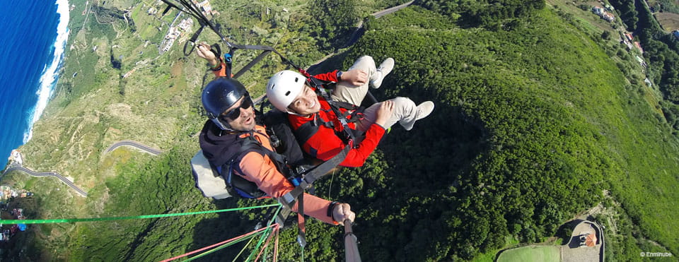
The take-off point in La Corona can be found to the north of the municipality of Los Realejos. The coordinates of one of its launch points are 28R 343171 3140191, which stands at an altitude of approximately 765 m (2,500 ft) above sea level. The surface you can use as a take-off ramp and preparation area covers 420 square metres (1,400 square feet).
It is used when the winds at that altitude come from the north and east.
Degree of difficulty- Early and late in the day: Learner level (1-2).
- At midday: Intermediate or intermediate/high level (3-4).
- Finca Los Quintos, Los Realejos. (Winter only).
- Playa del Socorro beach, Los Realejos. (Winter only; avoid landing here from June to August between 11am and 6pm).
The conditions at the take-off and landing point may change for various reasons (weather, refurbishment work, etc.), so the best thing to do to make sure you are as safe as possible is to contact the Canary Islands' Paragliding Federation shortly in advance so they can inform you of any last-minute changes or incidents.
Email: fecda@fecda.org
Telephone numbers: +34 928400805 / +34 615602329
Weather Today
Maximum: 25º
Minimum: 18º
Realejos (Los). Skies will could over on Thursday morning. As the hours pass by, fog is likely to form. Temperatures will remain unchanged.