BC-1: North Route
It has a total of 84,852 km on its main route and 53,255 km of derived routes and variants. It is the longest route on the island. You will go all…
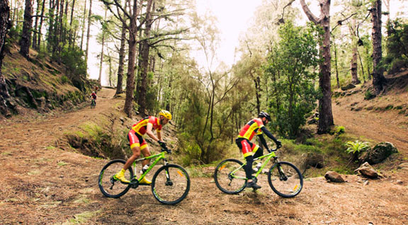
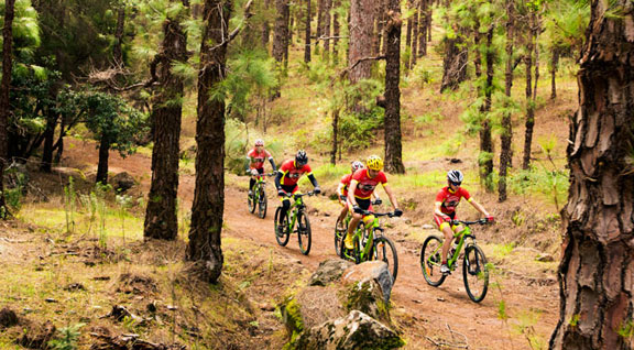
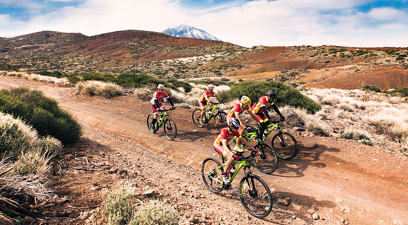
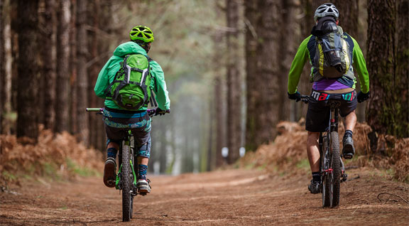
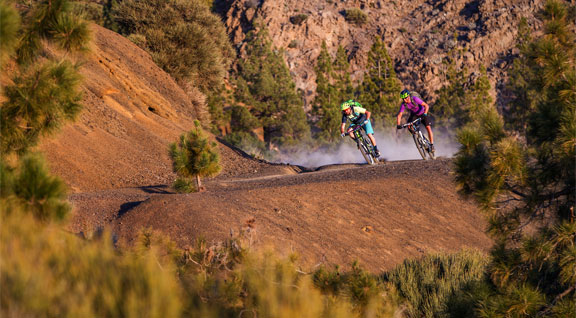
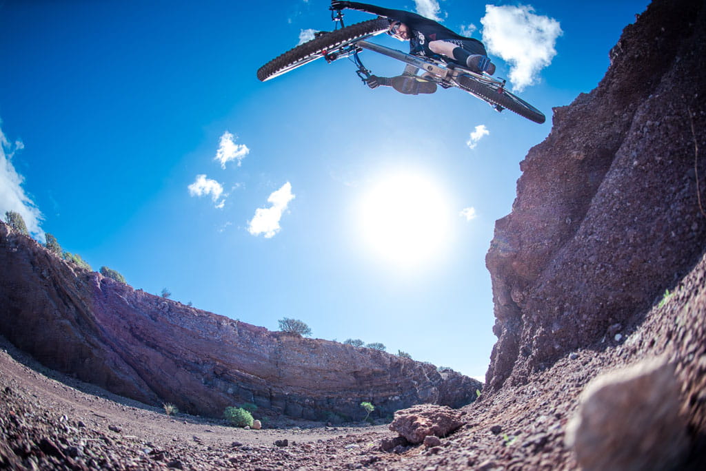
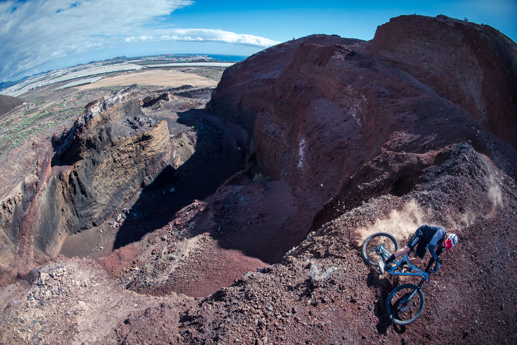
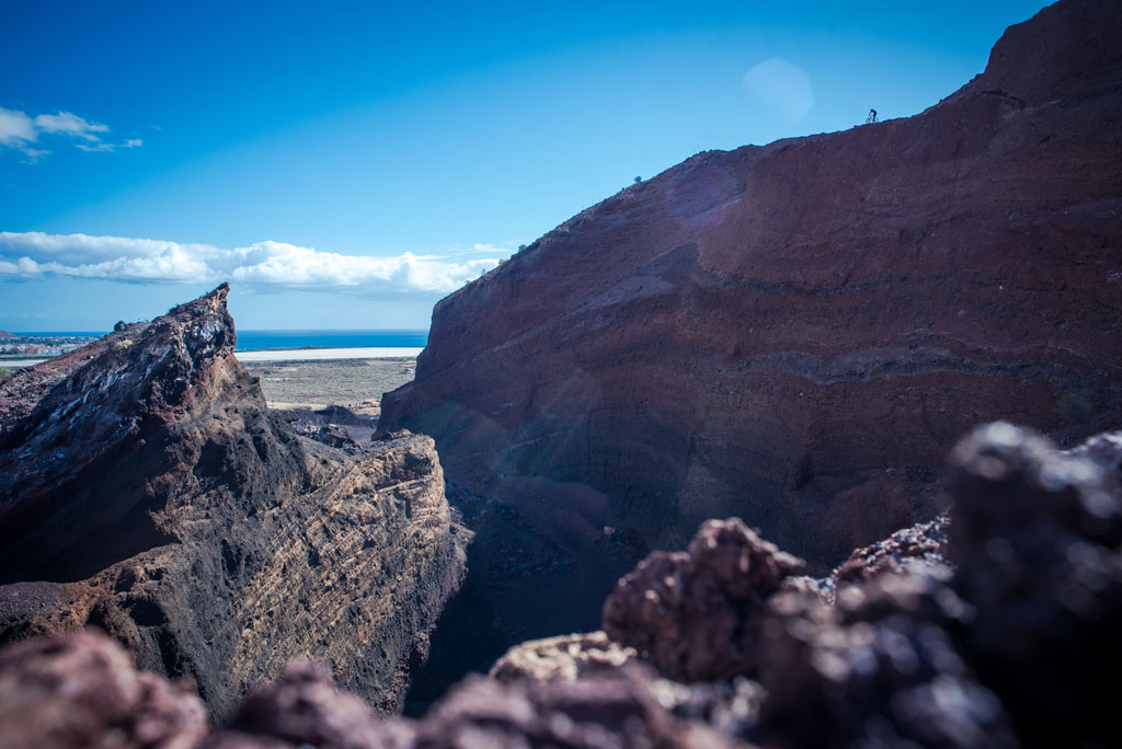
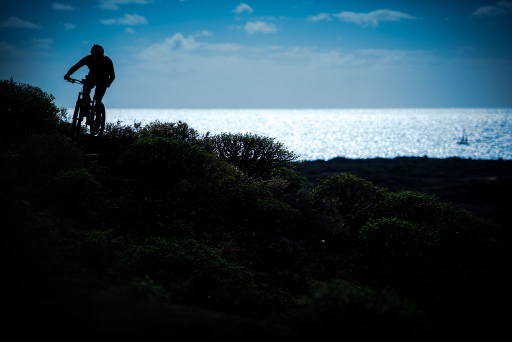
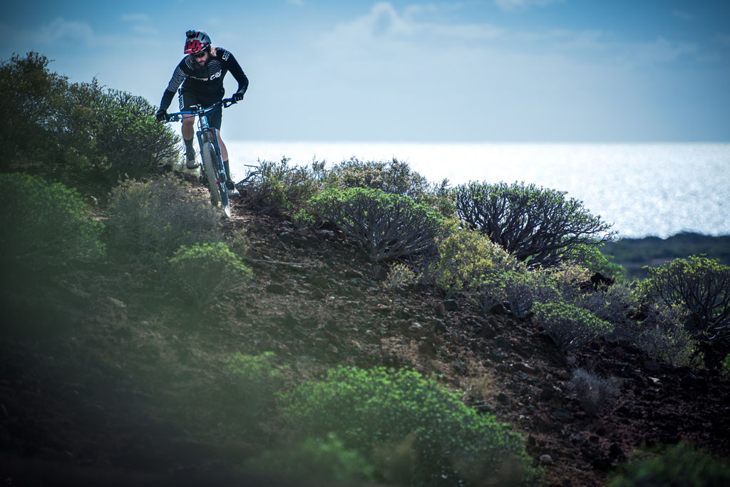
Tenerife is an ideal destination for mountain biking, thanks to the diversity of its landscapes — such as the Corona Forestal and its vast pine forests — which offer technical, natural trails throughout the year. The variety of terrain caters for routes suited to all levels, combining challenge and nature in every ride. Discover all the recommended routes by duration and difficulty, as well as the companies that offer services for MTB riding.
If the download did not start correctly, click the download button
You have more than 200 km (125 miles) of forest trails at your disposal. Most of the tracks take riders across the high areas of the Island, especially the Corona Forestal. The network of trails links most of the north to the area of Tacoronte and the south, which means you can start and finish in a place with all the amenities you need, often including public transport and parking spaces.
Routes
The network of trails comprises four main routes, each with its own varieties and characteristics for you to combine to your liking. You will have the chance to design your own personalised route depending on the distance and difficulty of the route and the type of landscapes you are looking for.
The favourable weather conditions mean that you can practice mountain biking all year round. We have an average temperature of 22 degrees 365 days a year.
Tenerife is one of the best destinations in the world for mountain biking (MTB) thanks to its varied geography that combines volcanic landscapes, forests and beaches. Here you can find the recommended routes for mountain biking, but we highlight rides in the following areas:
Only in the case that you are going to ride on tracks that are in protected areas, it is best to be well informed before choosing any route.