Route 7
Costa Adeje - Guía de Isora - Chío - Teide National Park - Boca Tauce - Vilaflor - Granadilla - San Miguel - La Camella - Trasera de Los Cristianos - Costa Adeje
Technical information
- Start: Costa Adeje.
- Finish: Costa Adeje.
- Distance: 101 km (62.75 miles).
- Cumulative ascent: 3,841 m (12,601 ft).
- Average gradient: 5.8%.
- Maximum altitude: 2,360 m (7,742 ft).
- Average speed: 20 kph (12.42 mph).
- Estimated duration: 5 hours
- Difficulty level: High.
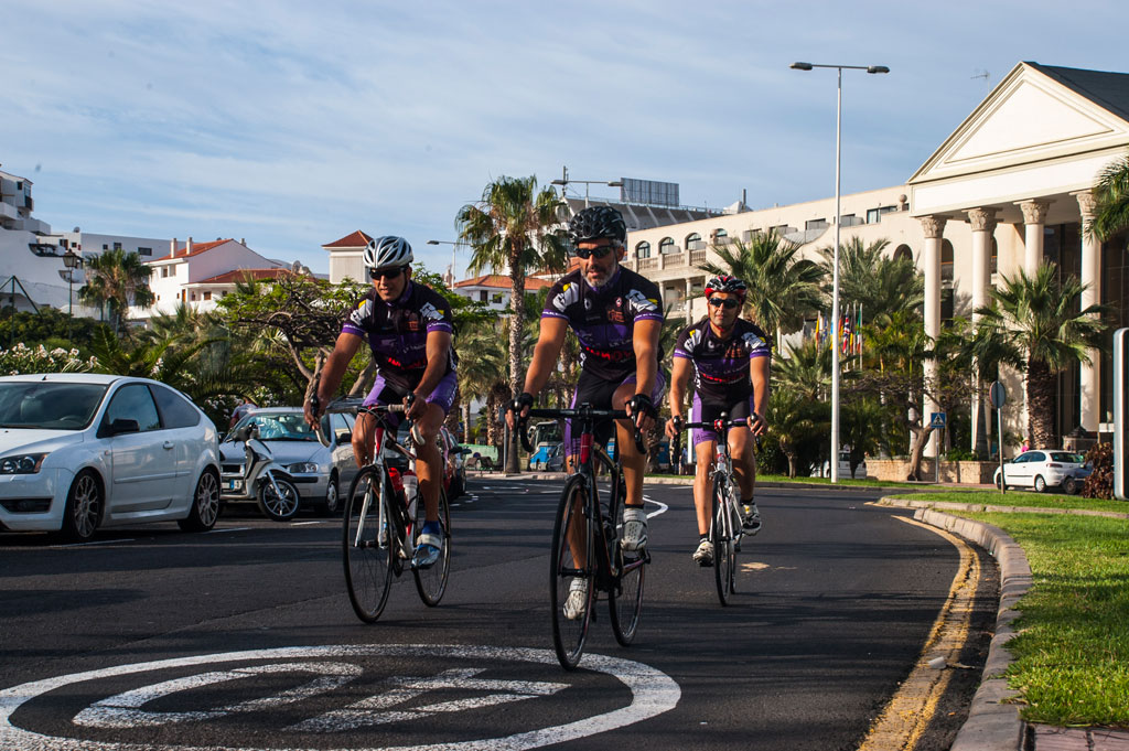
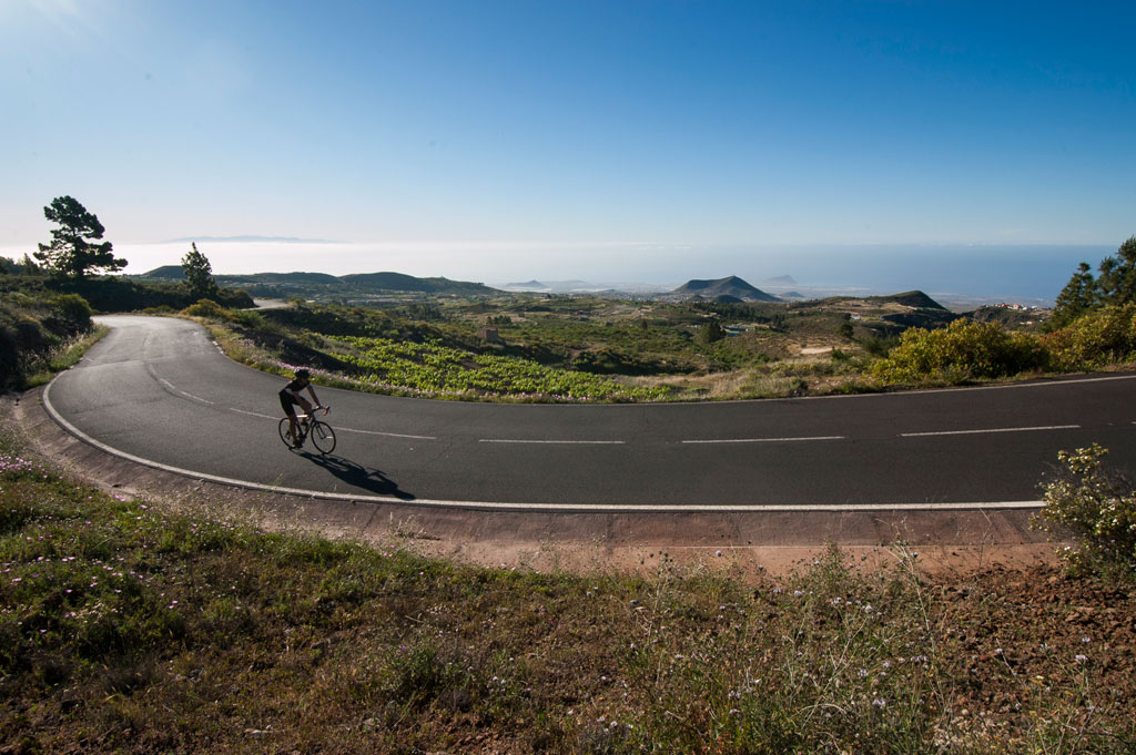
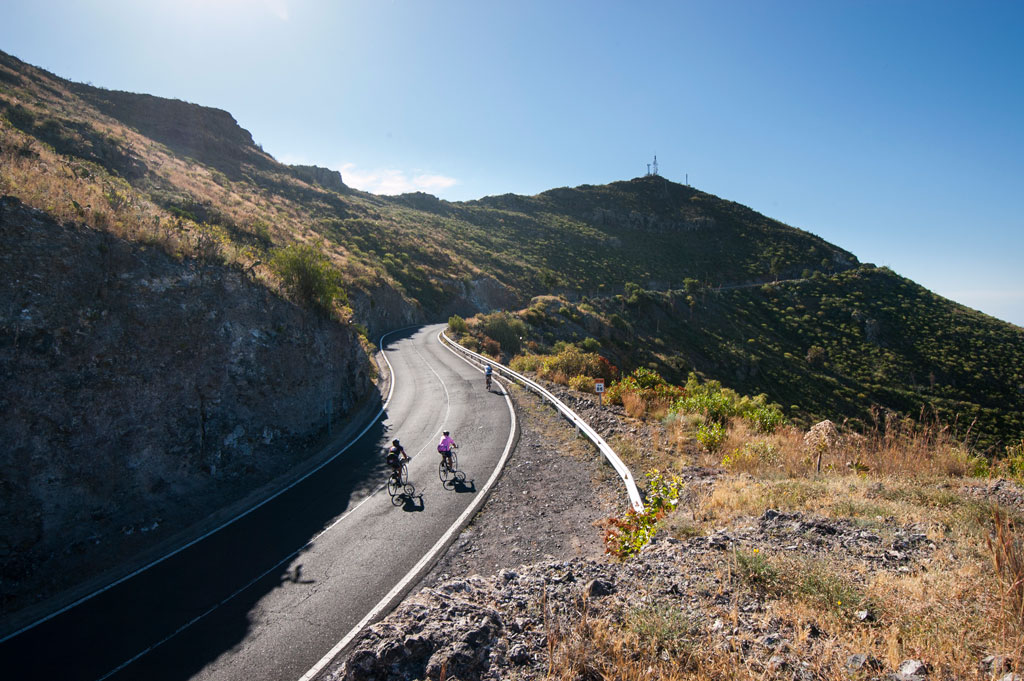
This is one of the Island's most spectacular routes. It follows the coast, ventures inland and crosses the mountains for a total of 100 km (62 miles). The route has a typical ascent and descent profile, making it comfortable and motivating. It is a circular route, meaning you set off and finish in the same place.
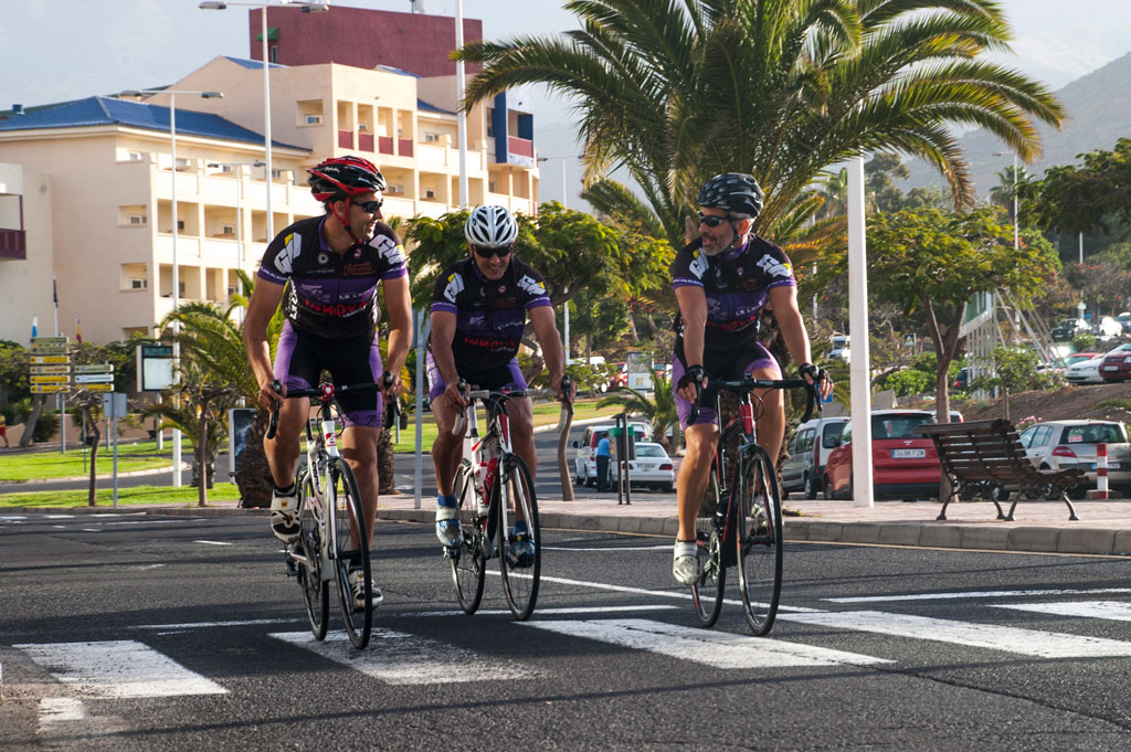
It starts at Costa Adeje, on Avenida Francisco Ucelay. It then heads towards Avenida Jardines del Duque and Calle Agando, after which it exits the city and ventures into the countryside along the Caleta de Fañabé road. Once you reach the town of Adeje, you should continue along the western side of the TF-1 motorway, along Calle Charfa, until you come to the crossroads with the TF-47 road. Go around the roundabout and take the TF-82, a road that runs parallel to the TF-1 motorway on the east side. The route up to this point is extremely challenging as it slopes constantly uphill, which it will continue to do until you get halfway through your journey.
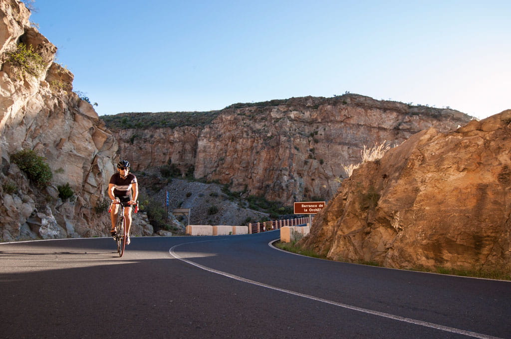
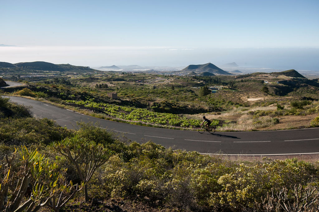
The TF-82 road takes you past the villages of Los Menores and Tejina de Guía to the town of Guía de Isora, 17 km (10.5 miles) into the ride, at an altitude of roughly 570 m (1,870 ft). After passing km 21 (mile 13), turn right to take the TF-38 road towards Teide National Park. Ahead of you are 24 km (14.91 miles) of ascent with an average gradient of 5.6% and stretches with a gradient of up to 10%. You will enter Teide National Park at km 40.5 (mile 25).
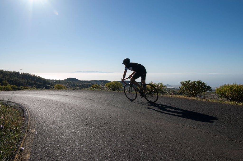
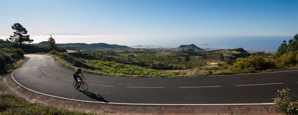
The Chío lookout point awaits you at km 45.5 (mile 28.3), where you can stop to take in the fabulous views of Pico Viejo. Here, the climb eases a little, and there are a few flat stretches and a slight descent. Km 48.6 (mile 30.2) brings you to another strategic point on the route: Boca Tauce, a crossroads where you should make a right turn to take the TF-21 towards Vilaflor and Granadilla. From here, a steady descent begins which continues until the end of the route, with a gradient of up to 11%. During your trip, your hard work will be rewarded with fantastic views from a variety of spots.
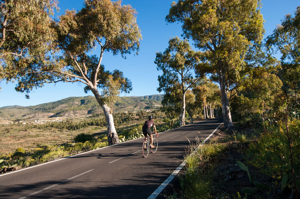
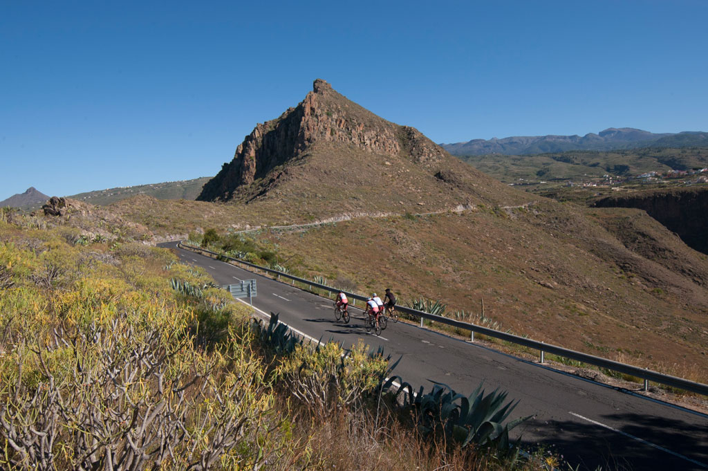
Once you reach Vilaflor, one of Spain's highest towns at an altitude of 1,380 m (4,527 ft), stick to the TF-21 to cross the entire town. You will then come to a 13 km (8 mile) descent with an average gradient of 6% and a maximum of 16%, after which you will reach Granadilla. As you come to the town, make a right turn and take the TF-28 towards San Miguel, as shown on the information board.
From here to the end of the route, stay on the TF-28, which will lead you along flat and downward stretches. You will cycle past Charco del Pino and San Miguel. After that, you will pass through the towns of Valle San Lorenzo and La Camella, and at km 96 (mile 59.7) you will come to a junction for the TF-1 motorway, where you should take the TF-481 (a one-way service road) towards Las Américas. Stick to that side of the motorway and you will eventually join Avenida Austria, followed by Avenida Europa. Once you reach the end of the avenue, you will come to a roundabout. Turn right at the roundabout and cross the TF-1 motorway on the TF-481 until you reach the end of the route.
Hypsometry

Weather Today
Maximum: 19º
Minimum: 12º
Adeje. Moderate rain all Thursday long. Temperatures will remain unchanged.