Las Cañadas - Alto Guajara - Parador
General Information
- Length: 16.4 km
- Altitude difference: 1600m in total
- Ascent: 800m
- Descent: 800m
- Highest point: 2,715m
- Lowest point: 2,135m
- Type: circular trail
- Difficulty: medium (for mountain runners)
- PStarting point: Car park in front of the cable car (on the left after the entrance to the cable car
- Coordenadas: 28.253840877821762, -16.62426330362431
- Places we pass through: Las Cañadas, Montaña Guajara, 7 Cañadas..
- Temperaturas: IIn winter, the temperature can drop below 5º at the starting point (and even below 0º at night). On sunny days, we have a lot of sunshine in the middle hours of the day.
- Water Points: none
Equipment
- Footwear and clothing suitable for mountain running
- Jacket, hat and gloves if it is cold.
- Hat and/or sunglasses if the weather is not overcast.
- 1.5 litres of water
- Something to eat
- Mobile phone
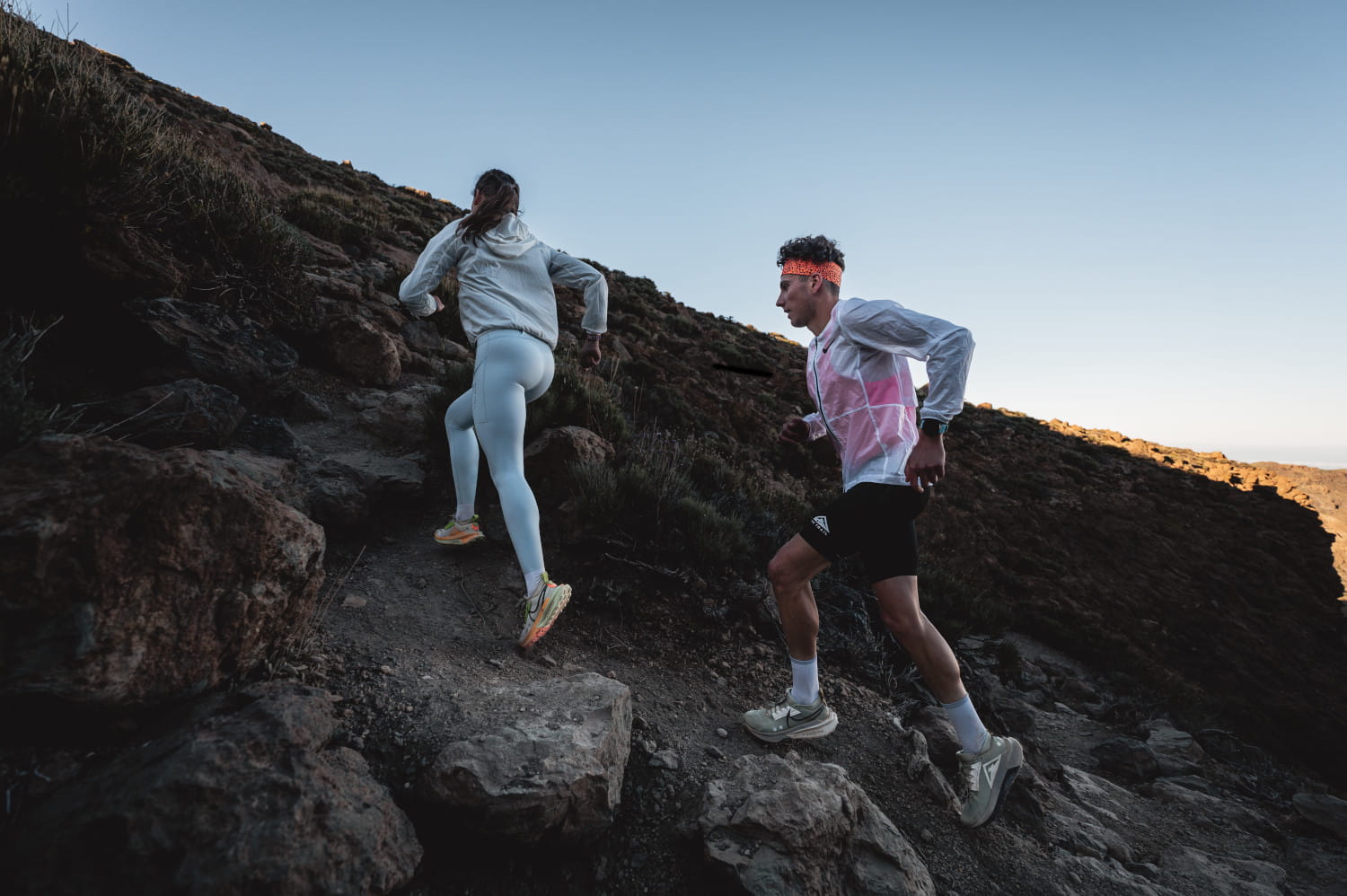
Route description
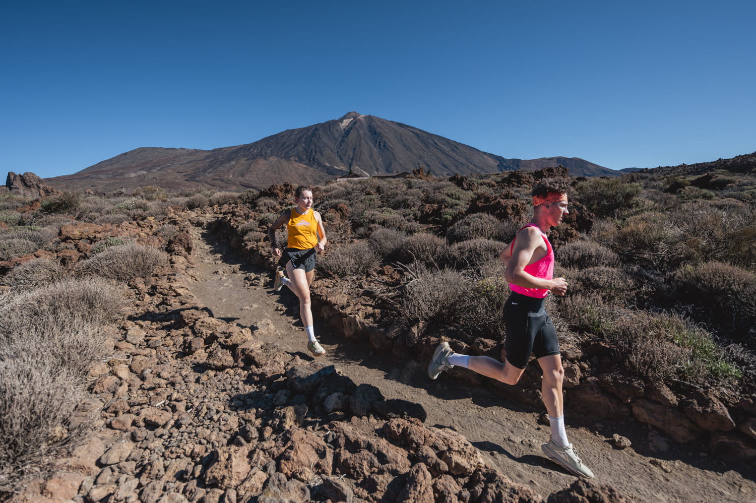
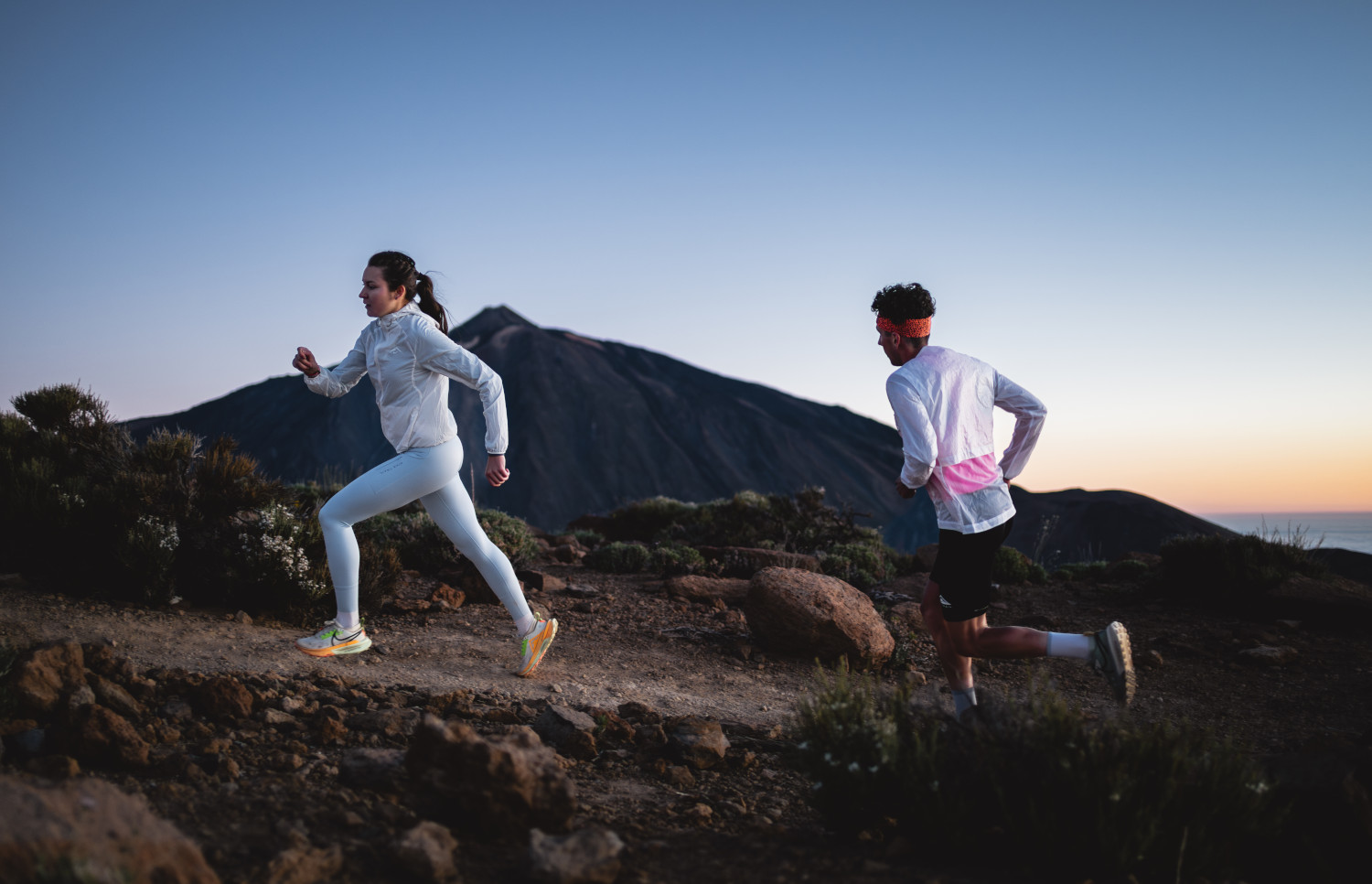
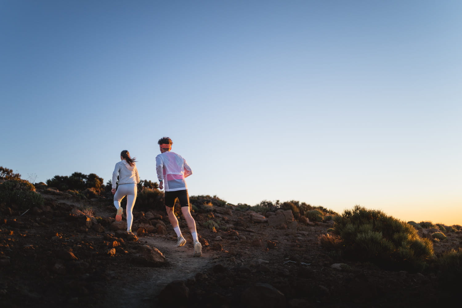
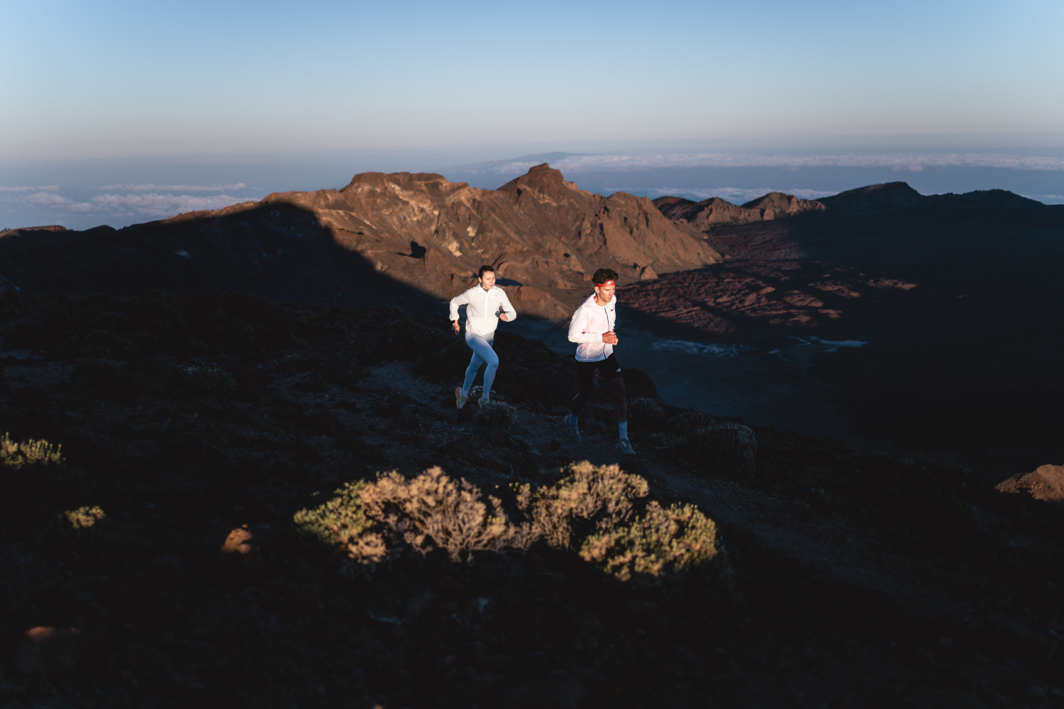
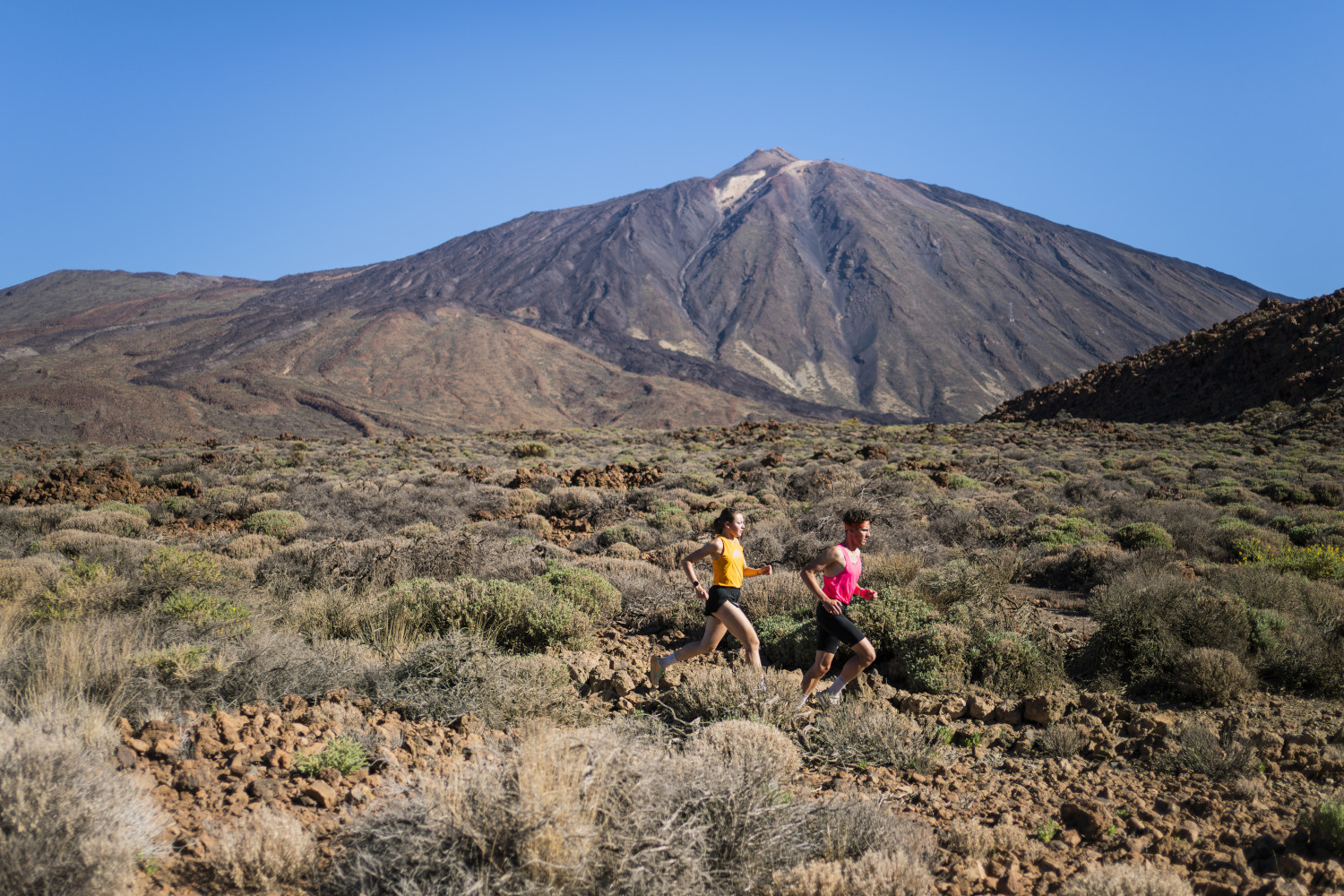
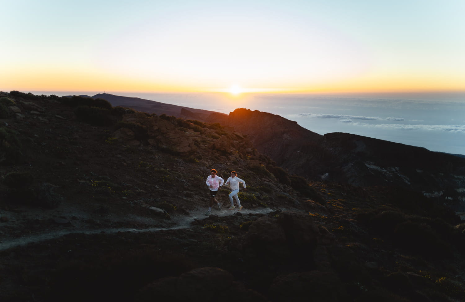
Attractive route for altitude training. We move between 2100-2700m. The route offers variety: challenging climbs, technical passages, running and altitude gain.
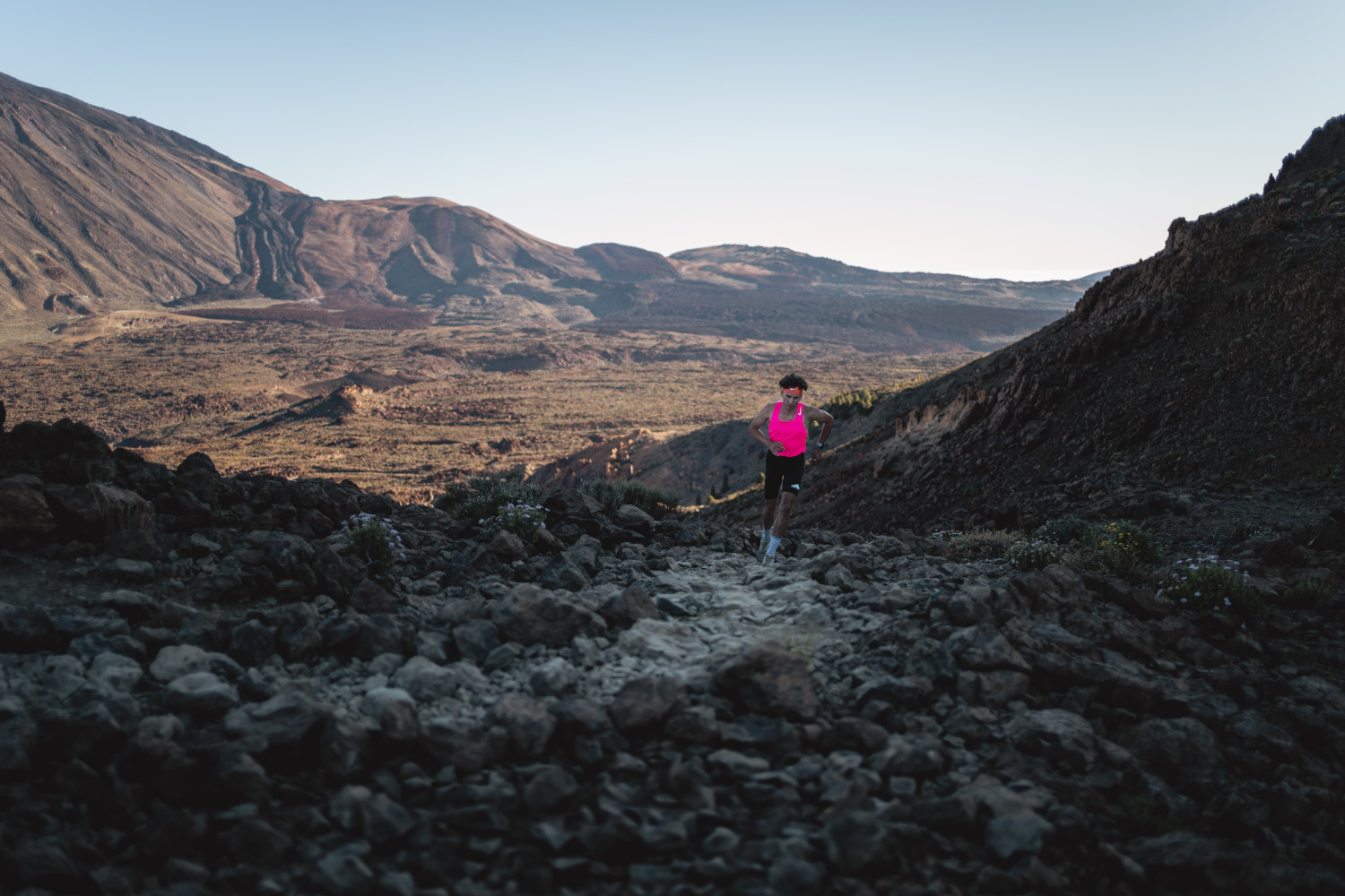
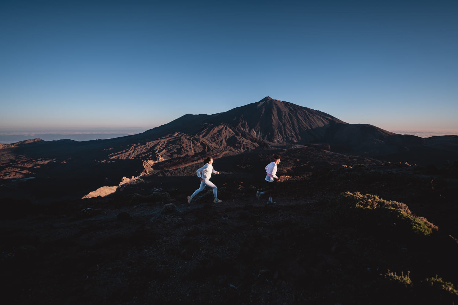
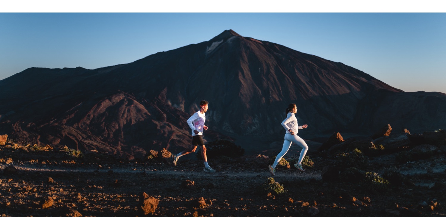
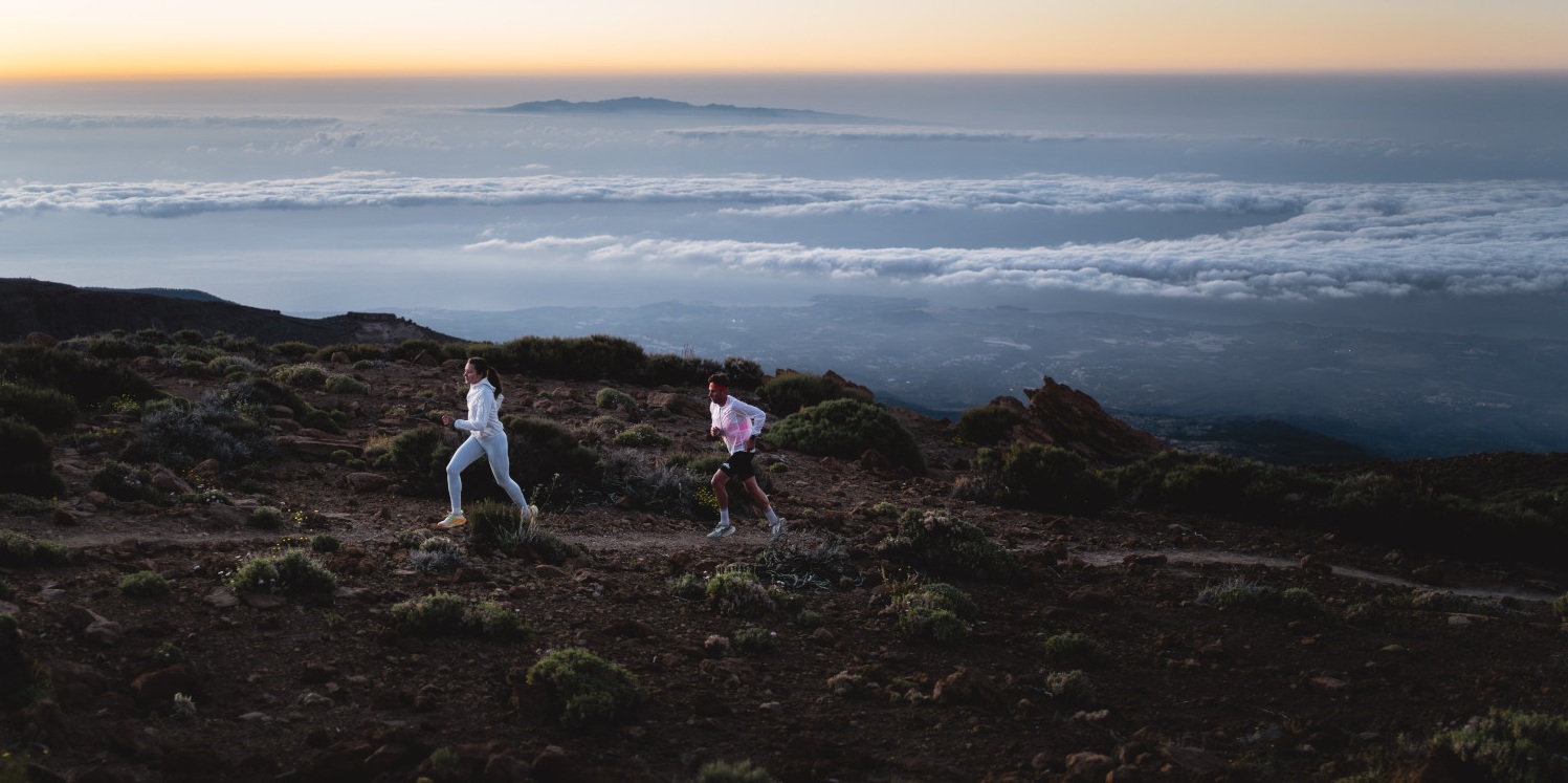
We will climb to the "Balcón del Teide" (Alto de Guajara), probably the most panoramic spot with a panoramic view of a large part of the Teide National Park and the southern part of the island. At the summit, at 2715 m, you will become aware of the size of the landscape and of how small we can be as individuals.
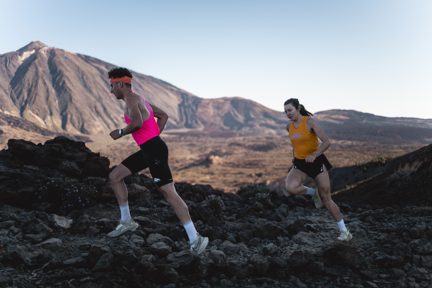
The first part of the route goes through the lower part of Las Cañadas del Teide, 5 flat kilometres on a wide path (ideal for altitude training and acclimatisation before the climb). From here we have to climb to an altitude of about 600 metres. At the top you will enjoy a great view and a 360-degree panoramic view. Then you walk down the other slope towards the Parador, this descent being mostly technical. Finally, it's another 4 kilometres on the way back to the starting point.
Interesting info
The Guanche princess Guajara is part of the legends of Tenerife. The legend says that after losing her beloved Tinguaro in the Battle of Aguere, Princess Guajara went to the mountains and, after wandering for a long time, jumped off a mountain. This mountain is now known as Alto de Guajara.
Course description
- Km 0 We leave the car park at this point and follow path no. 16 along a dirt track. To our right, Montaña Majúa. Behind us: the Teide cable car. Follow the dirt track, keeping the Montaña de Guajara always on the horizon. Follow the indications of Sendero nº 16 until kilometre 4.5. This stretch is also known as "Pista Sanatorio", and the first 5 kilometres will help you get used to the altitude.
- Km 4.9 Leave the Pista de 7 Cañadas and take the "Sendero nº 5" to the right to climb to the Degollada de Guajara via the Cañada de La Mareta. Start the climb to the Alto, making sure you keep a good pace; you can jog a little in some sections and walk the rest.
- Km 6.1 The climb ends and we reach the Degollada. At the junction of paths, take the GR-131 to the right. We continue for about 400 m on a more or less flat stretch, where we can have a good rest and catch our breath for the next climb.
- Km 6.5 A crossing of paths. Take path no. 15, which goes up to Alto de Guajara. This is the last climb, but the one with the highest altitude, and you will probably find that it is harder to progress and that your legs are weaker.
- Km 8 There is a turn-off to the right here and a sign saying "Alto Guajara (No Exit)" The route here is two-way. We approach the highest point and return the same way.
- Km 8.2 Alto de Guajara. Welcome to the "Balcón del Teide". Don't be in a hurry and enjoy the landscape. Don't forget to take a few photos to share with others and show them the beauty of the surroundings.
- Km 8.4 We return to the previous junction and now take the opposite path, the one on the right, with the sign "Parador por Degollada de Ucanca" (path no. 31). Be careful with some of the steps you have to walk on to avoid falling.
If you come here in mid or late spring, you may be lucky enough to see a small shrub with a purple flower, the Teide violet (endemic to this area). Normally the area is fenced off to protect it.
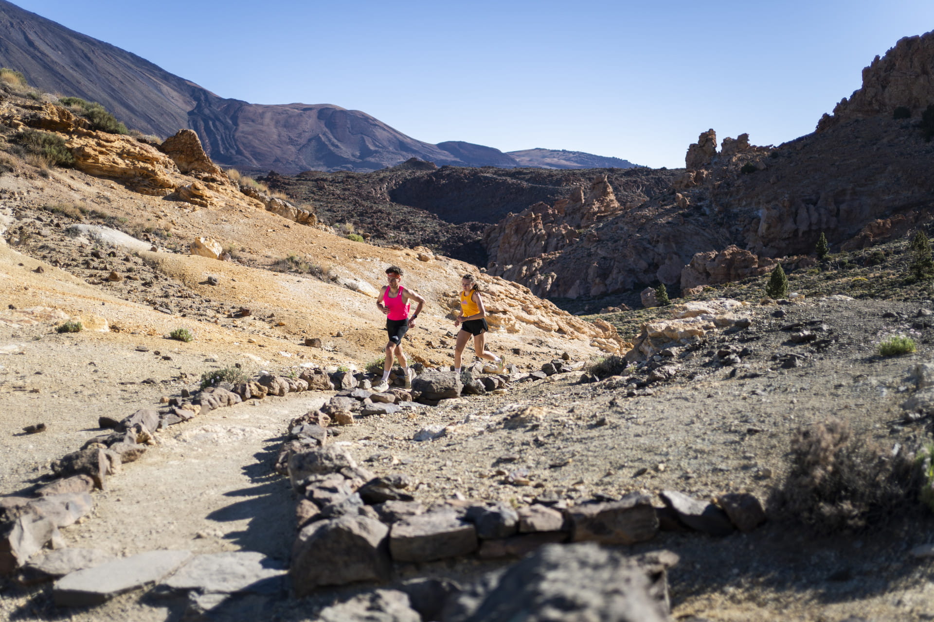
- Km 9.9 At Degollada de Ucanca there is a crossing of paths. Take the right-hand path marked "Parador Sendero nº 31".
- Km 11,2 The descent ends and we reach the Pista de 7 Cañadas; follow the opposite path to the Parador (Cañada Blanca).
- Km 12 Parador Nacional: continue in the same direction, always with the Teide in front of you and the Parador on the right, cross the car park, continue for 100 metres. On the right you will see signs and the start of a path. Take path no. 19 with the sign "Teleférico". The next 4 kilometres are on a flat or slightly uphill path, with no crossroads and no possibility of getting lost.
- Km 16.1 The trail ends and you are on the Pista Sanatorio, the initial trail. Keep left and reach the starting point.
- Km 16.4 FINISH.
Surroundings
Alto de Guajara or Mount Guajara is the highest peak of the natural Las Cañadas del Teide amphitheatre, with an altitude of 2715 metres.
Teide violet (Viola cheiranthifolia) is a species of shrub in the violet family (Violaceae). It is endemic to the island of Tenerife and grows only in the Teide National Park at an altitude of 2,500 to 3,700 m (especially in the Guajara highlands and on the slopes of Mount Teide), flowering between mid and late spring. The Teide violet is the plant that flowers at the highest altitude in all of Spain and can even be found in the Teide crater itself.
Tajinaste del Teide. In the Canary Islands there is a great variety of tajinaste, which belongs to the viper's bugloss (Echium) genus, a shrub without branches and with a spear-like shape that can grow up to 3 metres high. The red tajinaste is an endemic species and can only be found in the Teide National Park, which is why it is also called the red tajinaste of Teide. It flowers in spring (from May), when the colour contrast between the dark tones of the lava and the red of the flowering tajinaste occurs.
Parador de Las Cañadas del Teide. Located in the National Park, from where you can enjoy the magnificent views of this special landscape, the volcano, the Caldera de Cahorra and Montaña Blanca. It belongs to "Paradores de Turismo", a Spanish public hotel chain that operates numerous hotels throughout Spain. The establishments are located in emblematic buildings or outstanding sites chosen for their historical, artistic or cultural interest.
Recommendations
- Please remember that this is one of the coldest areas on the island.
- On the Alto de Guajara there can be strong winds and temperatures can drop.
- The area can be snowy or icy.
How to get there?
- Private vehicle. Depending on where we are on the island, we can drive up via various country roads
- • Public transport (please check as changes may occur).
- Line 348 from Puerto de la Cruz (with only one departure in the early morning) stops at the cable car valley station. The return journey is at around 16:00
- Line 342 from Costa Adeje in Playa de las Américas (with only one departure in the early morning), which goes to Cañadas del Teide, stops at the cable car valley station. The return trip is at around 15:30 from the cable car valley station, on the same route in the opposite direction.
Weather Today
Maximum: 28º
Minimum: 21º
Orotava (La). It will be good weather all Thursday long. In the evening the fog will cause reduced visibility. Temperatures will remain unchanged.