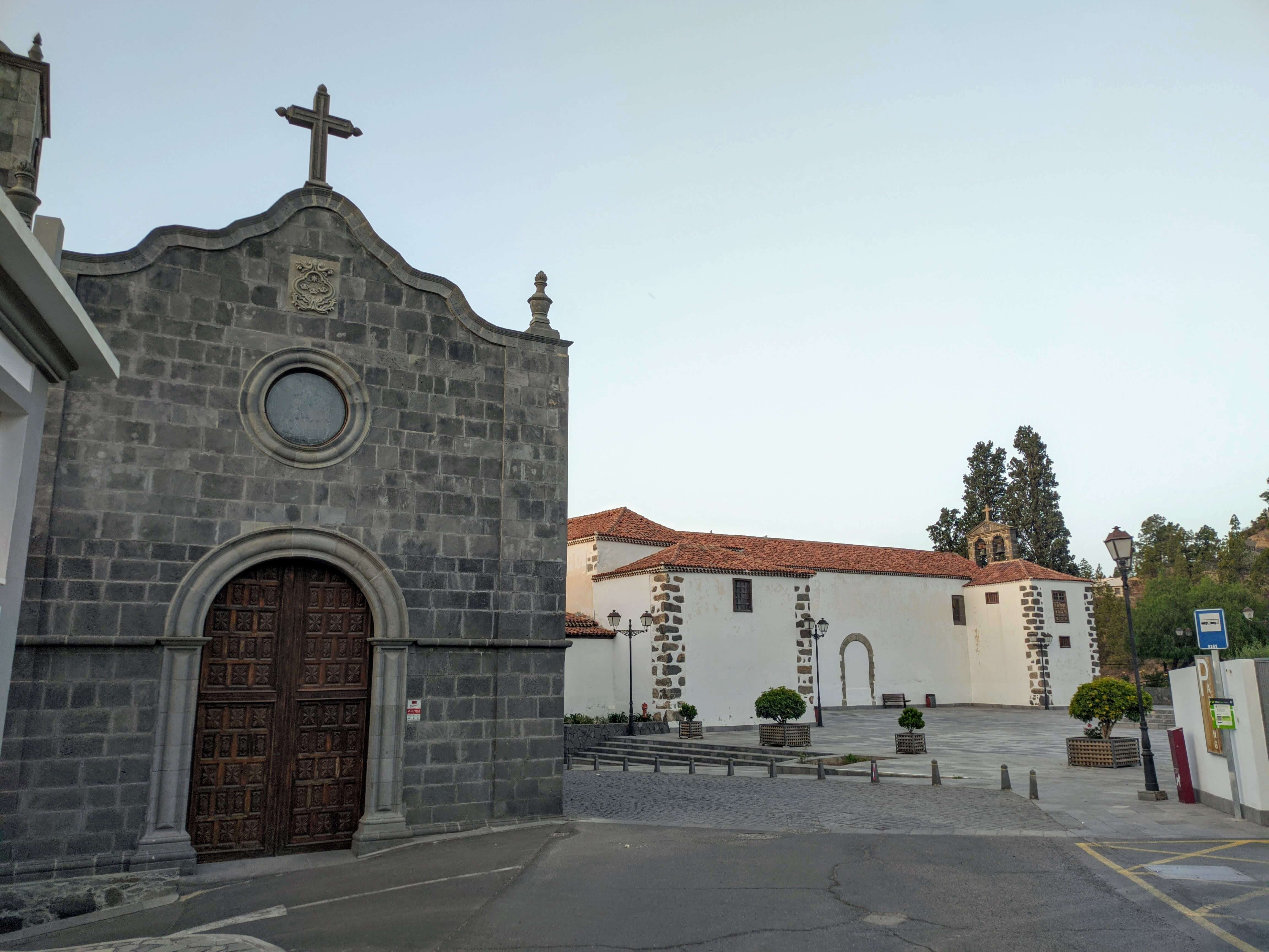
Vilaflor - La Florida - Paisaje Lunar (Lunar Landscape).
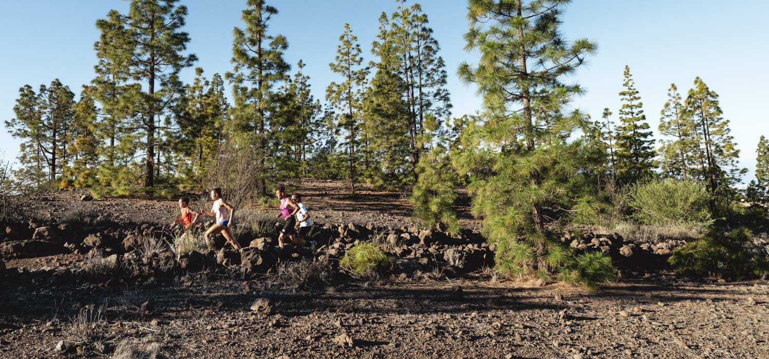
If you practise this type of running, which has become very popular in recent years, you will find excellent conditions in Tenerife. There is a wide variety of routes available, from striking volcanic environments, through dense pine forests or laurel forests (depending on the area), or along the coast... You'll find the island to be a trail-running paradise.
If you don't have GPS to follow the route or if you want to classify yourself in the virtual ranking, download the Open Trail Races app, where you'll find everything you need.
General Information
- Length: 22.4 Km
- Altitude difference: 2,200m in total
- Ascent: 1,100m
- Descent: 1,100m
- Highest point: 1,960m
- Lowest point: 1,335m
- Type: circular trail
- Difficulty: medium (for mountain runners)
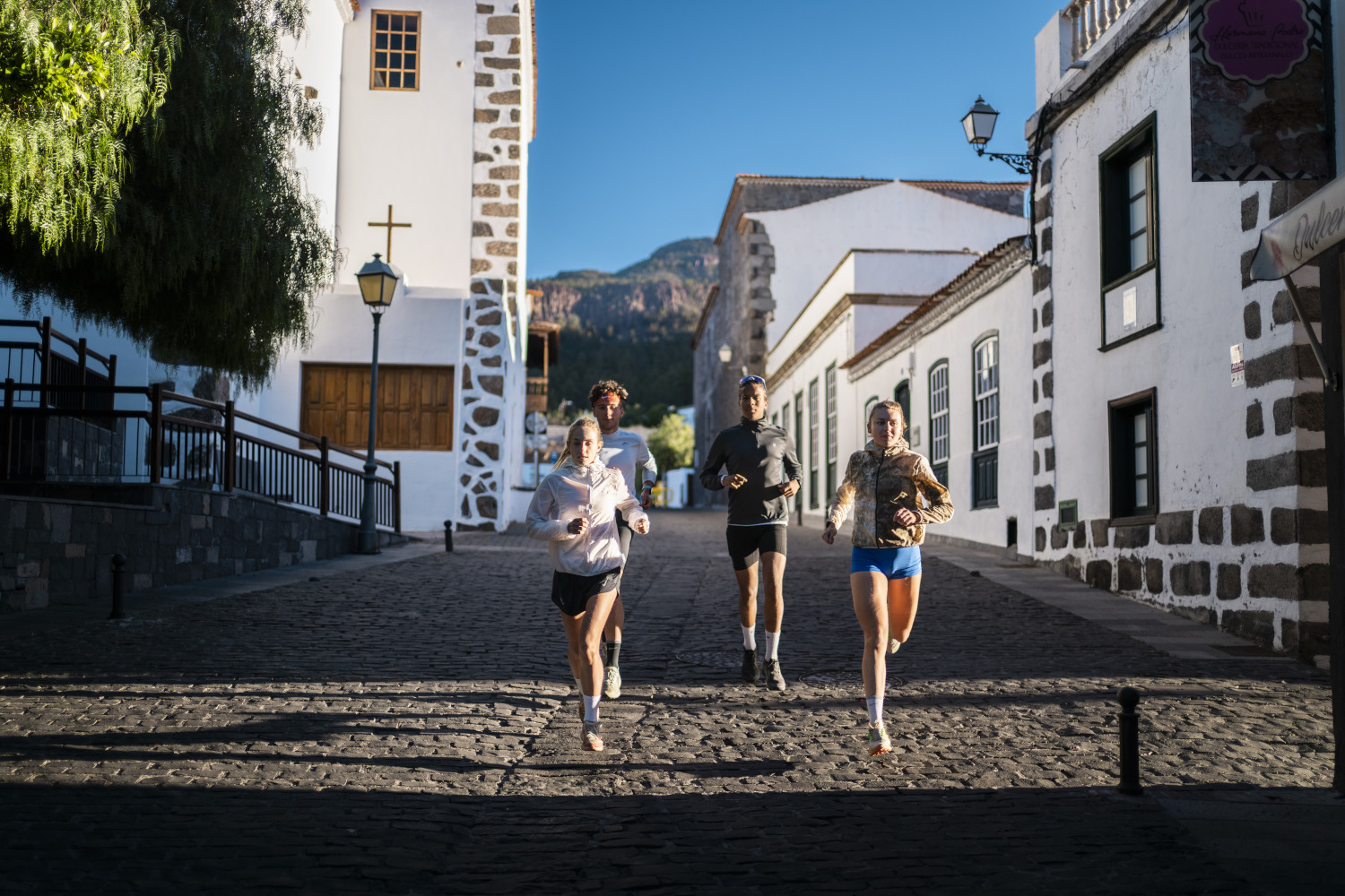
- PStarting point: Plaza de la Iglesia de Vilaflor, San Pedro Apóstol (village centre)
- Coordenadas: 28.16003699791096, -16.637030884560005
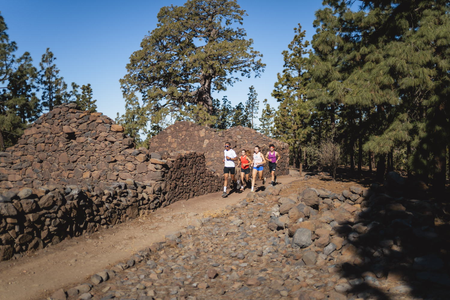
- Places we pass through: Vilaflor, Madre Agua, La Florida, Los Escurriales, Paisaje Lunar, Pino Gordo.
- Temperaturas: In winter, temperature can drop below 5º C at the highest altitudes. In summer or on hot days it can reach more than 30ºC (at noon).
- Water Points: None.
Equipment
- Footwear and clothing suitable for mountain running
- Jacket/windbreaker, hat and gloves if it gets a bit cold or it might rain.
- Hat and/or sunglasses if the sky is not overcast.
- 1.5 litres of water
- Something to eat
- Mobile phone.
Route description
A spectacular route to discover the sights of Tenerife. We start from Vilaflor to the lunar landscape and at the end we get to know the largest pine trees in the Canary Islands.
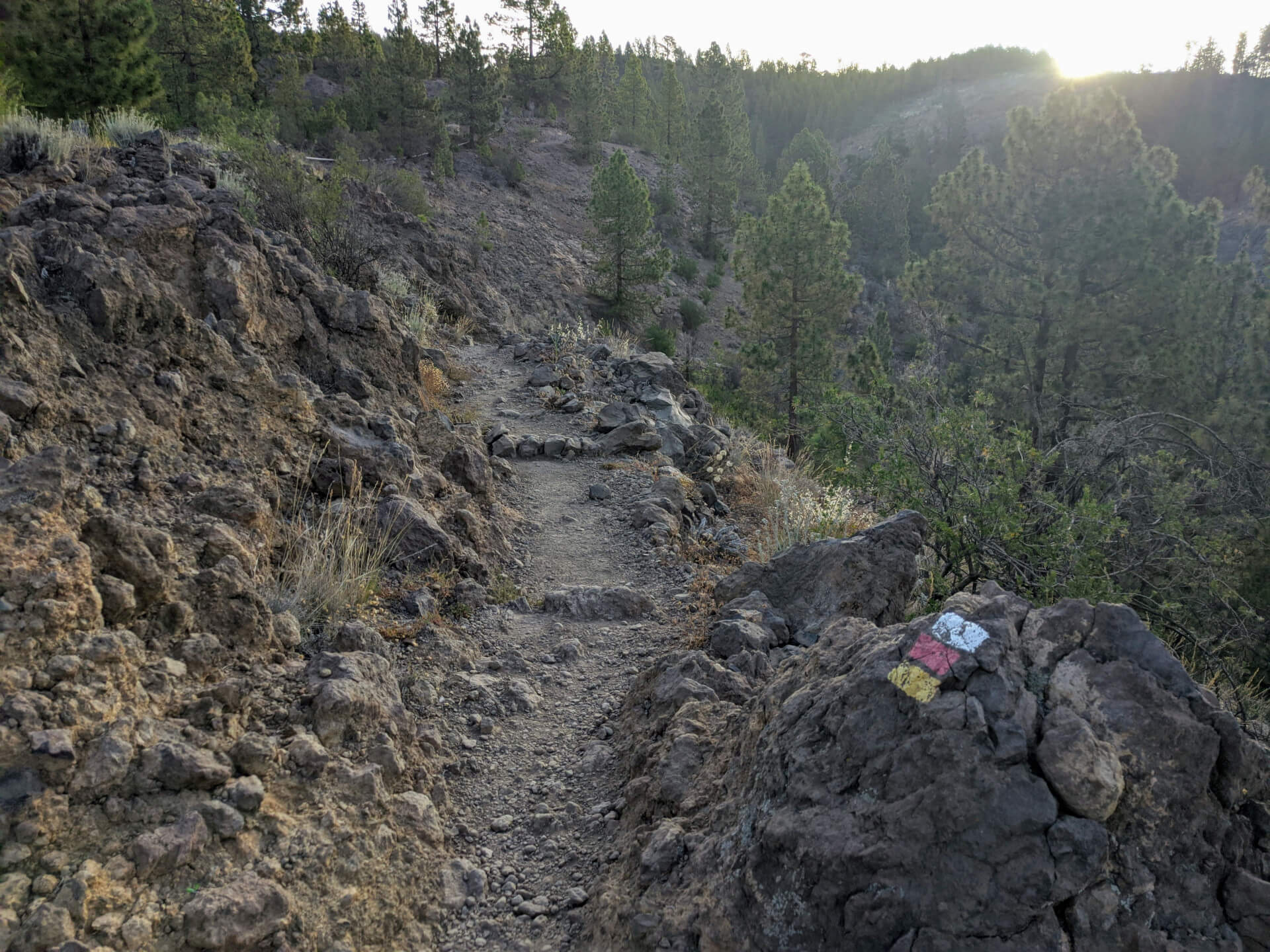
We leave the centre of the village of Vilaflor to climb up the GR 131 path; then we make a loop of just over 6 kilometres to initially descend, then flatten out and climb up again (we follow the path to La Cruz de Tea and then climb up the path coming from Las Vegas). The route then enters the Paisaje Lunar (Lunar Landscape) before climbing a little further to the highest point (1,960 m). We descend a little on the GR and then follow the Madre del Agua trail to the main road to meet the largest pine trees in the Canary Islands.
A training route with metres of altitude, varied terrain and a combination of several ascents and descents along the way.
Course description
- Km 0 We start in the centre of Vilaflor, at the church. We skirt it and go down on the right, through Los Cipreses Park. We enter Plaza Obispo Pérez Cáceres, cross it and turn left. In this area you will find signs and an information board for the GR-131 trail. We must follow the GR-131.
- Km 0.4 Turn left. Follow the GR signs.
- Km 0.5 Leave the road and take the path to the right.
- Km 0.7 At the bottom of the ravine, continue for about 30 m and then take the path to the right (follow the GR signs). Now climb steeply for 2.2 km; the first part is steeper, then it becomes more bearable.
- Km 2.8 Cross the Madre del Agua path.
- Km 2,9 100m after leaving the path, you come to a crossroads, follow the path to the right, leave the GR and take PR 72 Los Escurriales (we will descend the other path later).
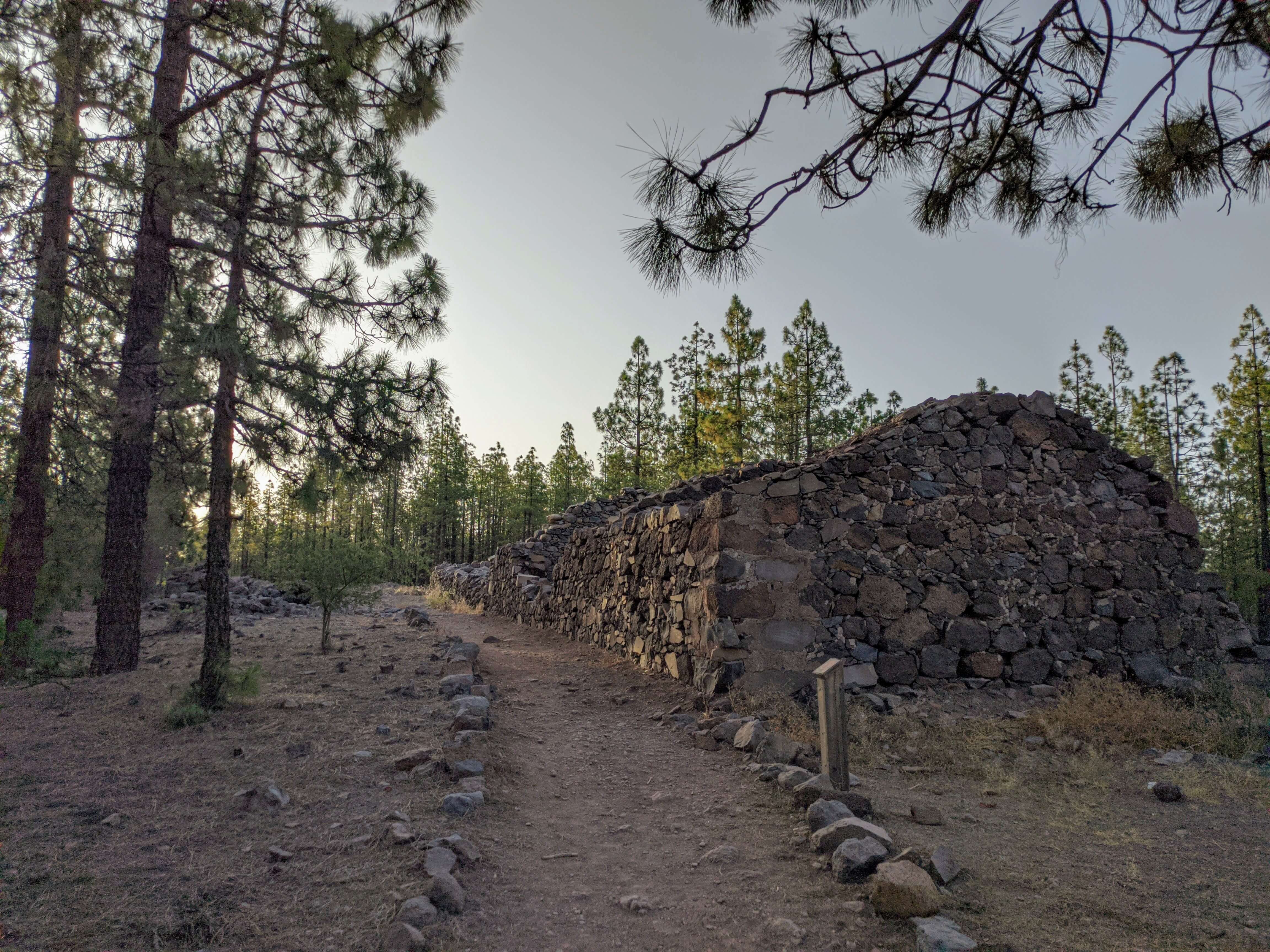
- Km 2.9 to Km 4.9 Now you go for two kilometres through an area with gentle ups and downs, a bearable stretch where you can rest. This section is always on a path where you cross several forest tracks, but you should always follow the signs of PR 72 Los Escurriales. On the way there you will see the ruins of Los Llanitos building.
- Km 4.9 Crossroads. At this point we take the path to the right (PR 83 Cruz de Tea) and return to this point in a loop of just over 6 kilometres.
- Km 5.3 We come to the Madre del Agua trail. Take PR 83 Cruz de Tea. You will see that just to the left you can see PR 83.1 Las Vegas, which means you will return there. Now it's almost two kilometres downhill with some technical sections. Let's go for it!
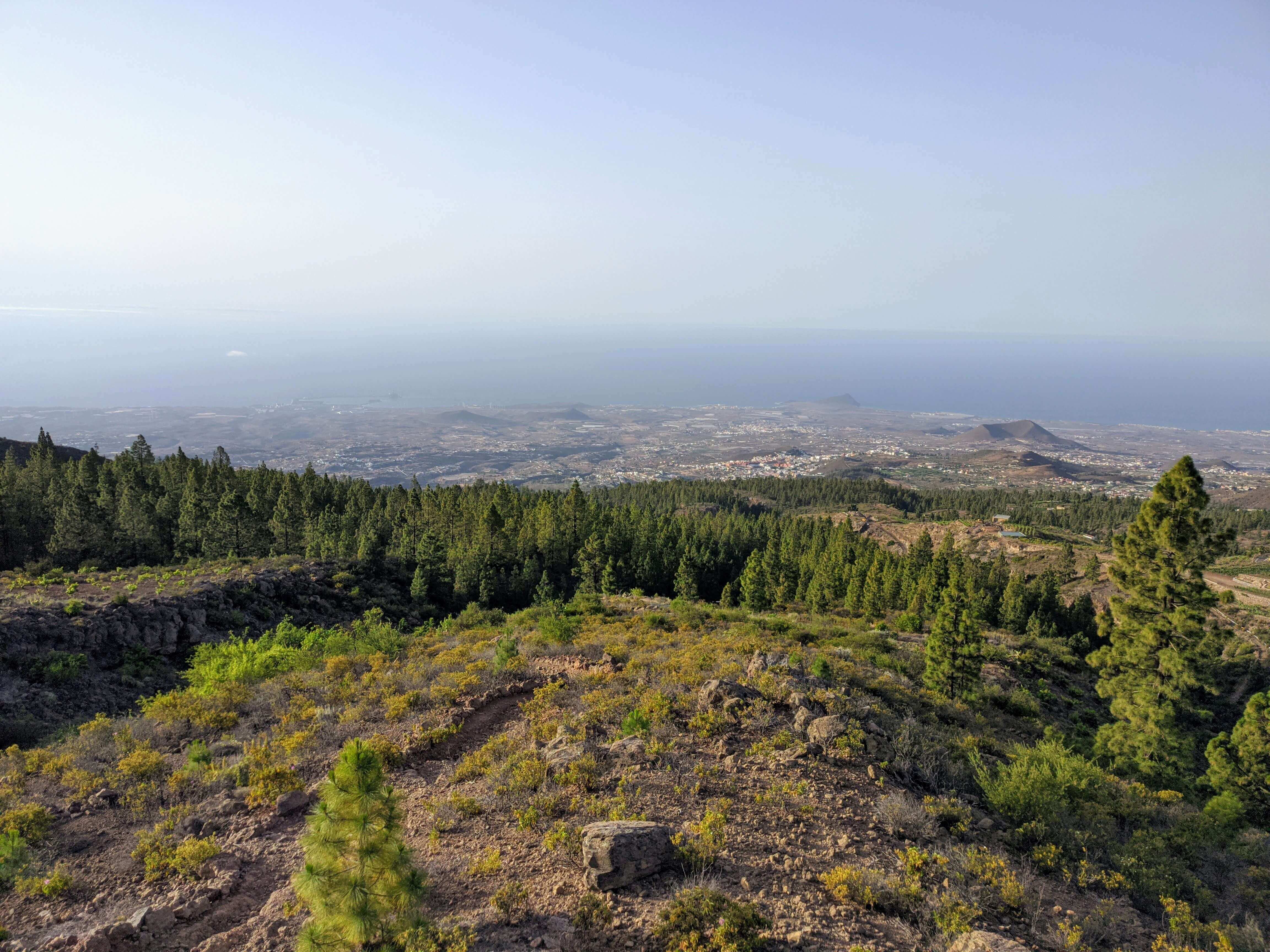
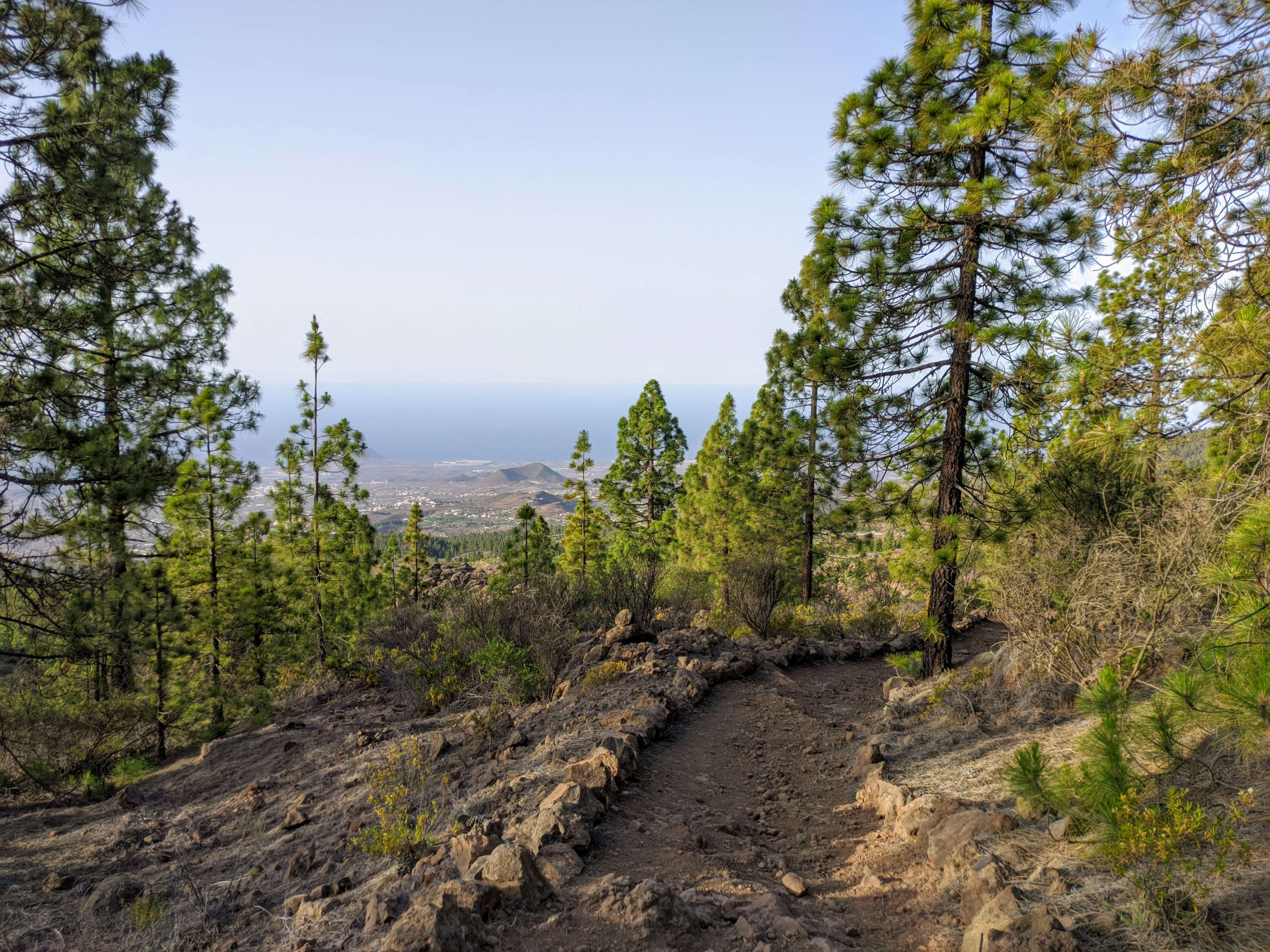
- Km 7 Crossroads; continue on PR 83 Cruz de Tea. From here you have a good view of the southern part of Tenerife.
- Km 7.2 Crossroads. Take the path to the left, PR 83.2 Las Vegas (Los Escurriales).
- Km 7.2 to Km 8.9 Section with small ups and downs and other flat sections. Always follow the PR 83.2 signs.
- Km 8.9 Crossroads. Now take the path uphill to the left, PR 83.1 Los Escurriales (La Florida).
- Km 9.9 Crossroads. Continue uphill along the PR 83.1 path.
- Km 10 Casa La Florida. You are in an agricultural area and see several fields with vines.
- Km 10.9 Reach the path to Madre del Agua and continue straight ahead.
- Km 11.3 Crossroad. You are at the point where you started the loop and now take the path to the right towards Los Escurriales (Paisaje Lunar). This section is signposted with three paths: PR 72 and PR 83 and PR 83.1 to the Paisaje Lunar.(Lunar landscape) viewpoint.
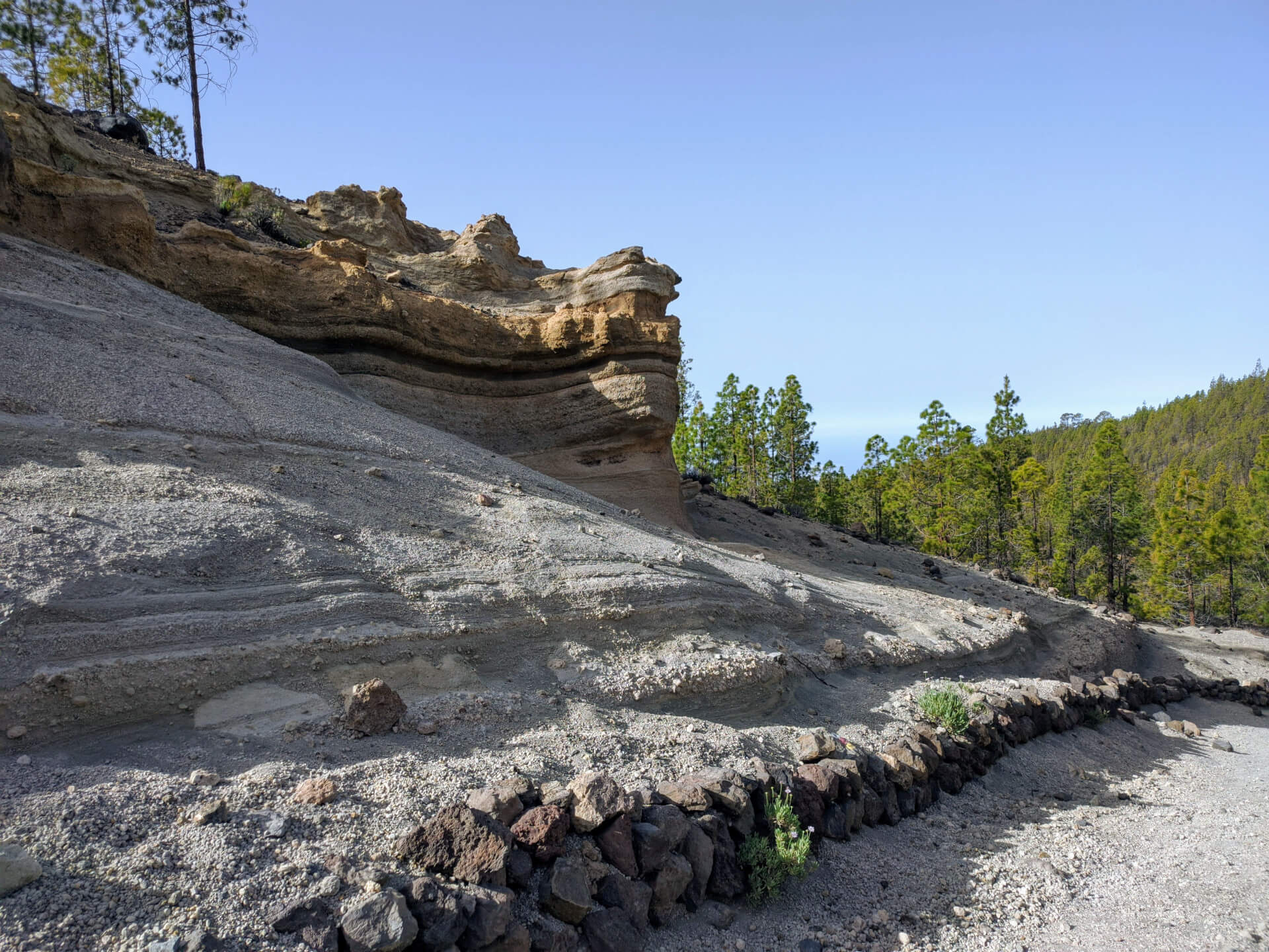
- Km 13.2 You have reached the viewpoint; enjoy the surroundings. You can take a small dead-end path that you will see on the left so that you can see the "Paisaje Lunar" better, go back along the same path and follow the PR uphill (PR 72).
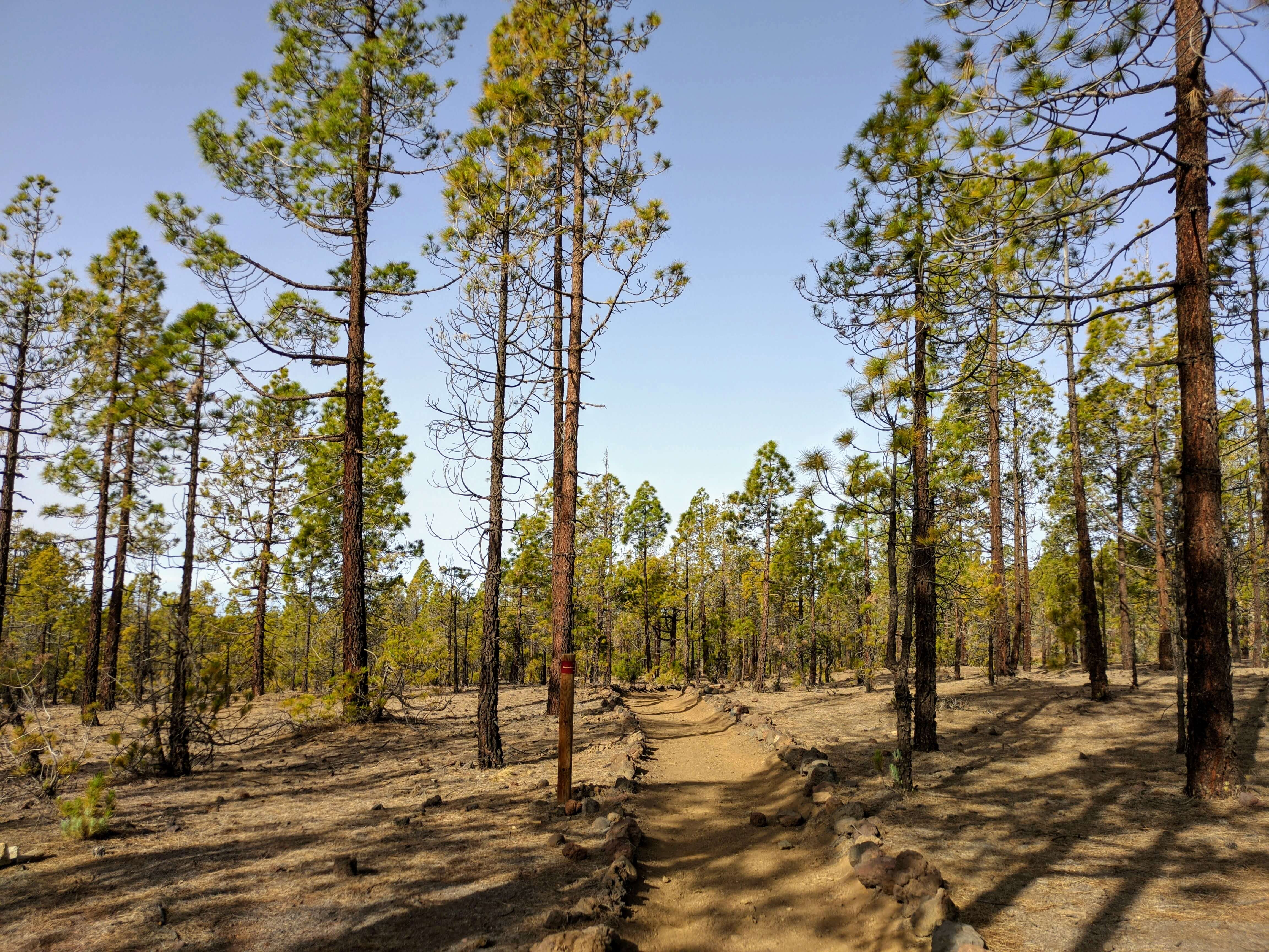
- Km 13.9 Highest point of the route (1960 m) You will have seen some pine trees with black trunks from the fire a few years ago (the Canary Island pine is quite resistant to fire and can sprout again).
- Km 14.9 You cross a light-coloured area similar to the lunar landscape you saw earlier from the viewpoint.
- Km 15.8 Crossroad; continue straight ahead downhill.
- Km 6.8 Fork; continue downhill along the path.
- Km 6.9 You reach the path to Madre del Agua, which you passed on the way there. Continue along the path to the right. We point out that you can return on the GR-131, but we continue on the path to walk a good distance and also see the largest pine trees in the Canaries as you pass by
Take the opportunity to cover 3.5 kilometres on a good run. - Km 20.4 You reach the main road, where you continue to run downhill with caution.... In some places, you can even take shortcuts on the slope and thus run less on the road (the road has several hairpin bends).
- Km 2.3 There is a car park on the left and further on, to the right of the road, a path that leads to the Pino de las dos Pernadas. Then return to the car park and go down behind it towards Pino Gordo.
- Km 2.5 Pino Gordo. Continue downhill to the left of the large pine tree, there seems to be no path. Initially, it is a dirt road section and then you come to a road; keep right.
Enjoy these two large specimens of Canary Island pine, both over 300 years old. - Km 21.9 You come back to the main road, do not cross it, but keep left and descend towards the centre of the village.
- Km 22,4 FINISH (centre of Vilaflor).
Surroundings
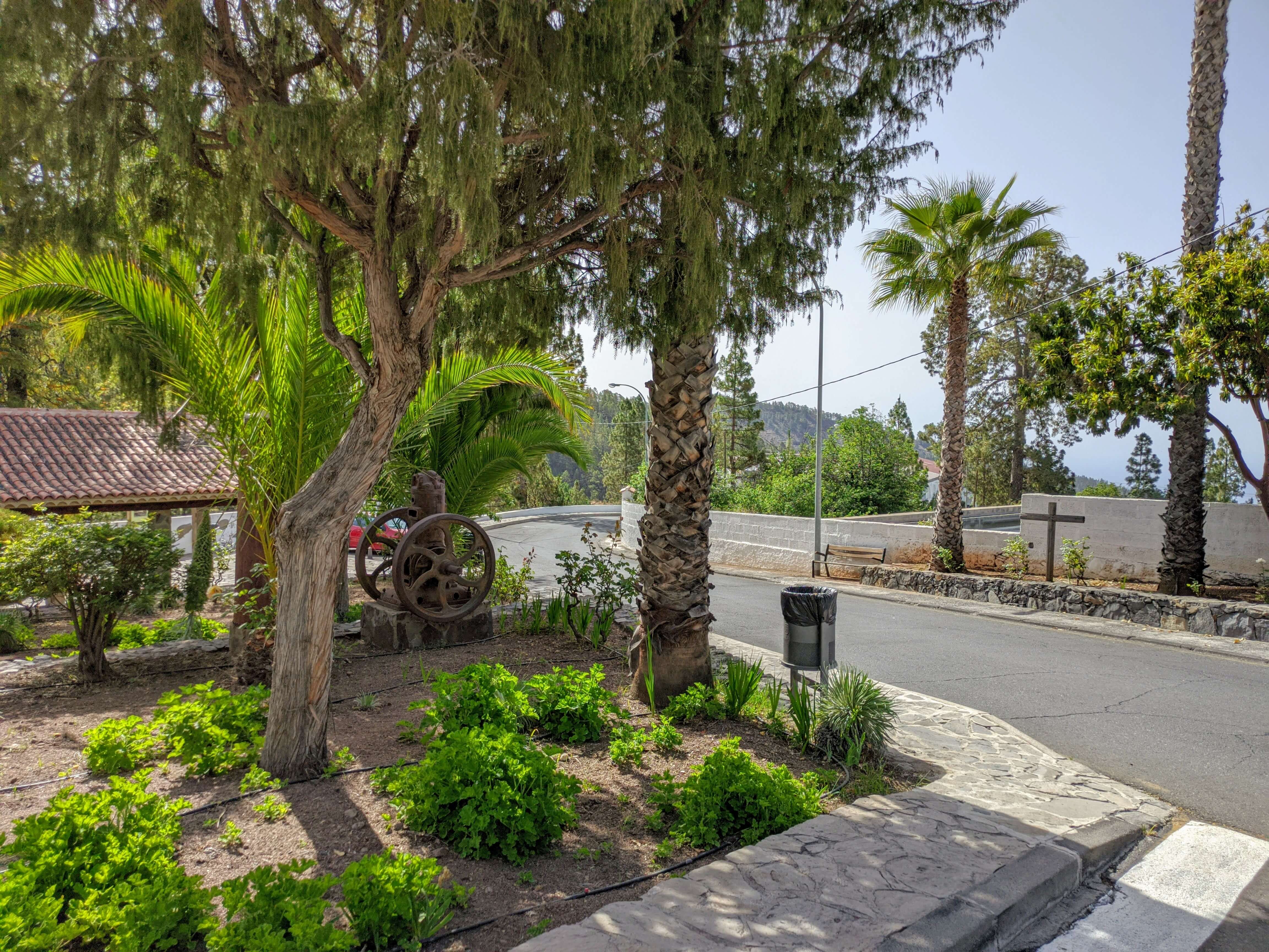
Vilaflor. Formerly known as Chasna. Located in the highest part of the island and surrounded by pine forests, just a stone's throw from Mount Teide. The small houses and cobbled streets are beautiful. The village is situated at an altitude of 1400 m.
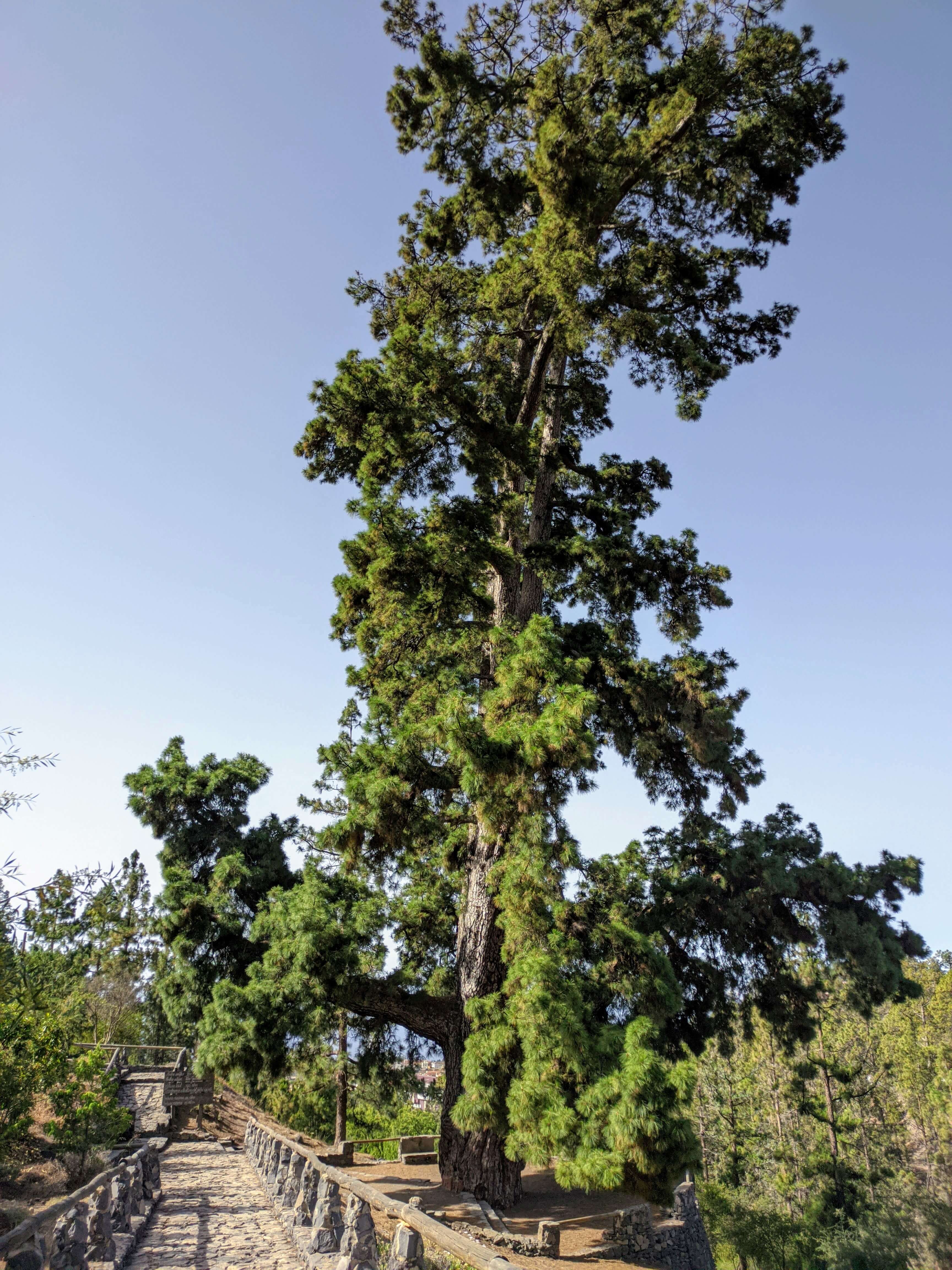
Pino Gordo. (Great Pine) This is a spectacular Canary Island pine (pinus canariensis) which, with a total height of 45.12 metres, is the second tallest tree in Spain in the ranking of native species. The dimensions it boasts, which attract a lot of attention, are its circumference at breast height, which is 9.36 metres, with a maximum width of 3.16 metres and a minimum width of 3.10 metres.
Pino de las Dos Pernadas (pinus canariensis) Just opposite the Pino Gordo is the tallest indigenous tree in our country, which tops the rankings in its speciality with its 56.03 metres. The circumference at breast height is slightly less than that of the Pino Gordo, totalling 8.30 metres with a maximum height of 2.78 metres and a minimum height of 2.68 metres.
El Paisaje Lunar. (The Lunar Landscape) This is a group of peculiar, delicate and conical light-coloured sand towers in Los Escurriales, popularly known as the Lunar Landscape. Over thousands of years, erosion has carved them into a slope of thousands of inclined layers of fine beige volcanic ash.
Recommendations
- Sun protection when the sun is shining (we are at high altitude and the sun's rays are stronger).
- We have a large car park near the starting point, close to the church (coordinates: 28.1602672872037, -16.636975237459975).
How to get there?
- Private vehicle.
- Public transport (please check as changes may occur).
- Line 482 from Los Cristianos.
- Line 482
Weather Today
Maximum: 28º
Minimum: 17º
Vilaflor. Sunny skies all Saturday long. Mild temperature dropping.