Cruz Del Carmen - El Batán - Cruz Del Carmen
General Information
- Length: 11,10 Km
- Altitude difference: 1600m in total
- Ascent: 800m
- Descent: 800m
- Highest point: 980m
- Lowest point: 350m
- Type: circular trail
- Difficulty: low (for mountain runners)
- PStarting point: Cruz Del Carmen
- Coordenadas: 28.531298875239514, -16.279961191270363)
- Places we pass through: Cruz del Carmen, Solis, Bejía, Batán, Lomo los Dragos, Las Hiedras.
- Temperaturas: In winter they are not very low, maybe below 10 degrees on a given day. In midsummer, when the air is hot, it can get over 30 degrees (in the lower parts)
- Water Points: 1 at km 6.2
Equipment
- Footwear and clothing suitable for mountain running
- Windbreaker in case it is a bit cold at the summit (starting point).
- 1 litre of water
- Something to eat
- Mobile phone
Route description
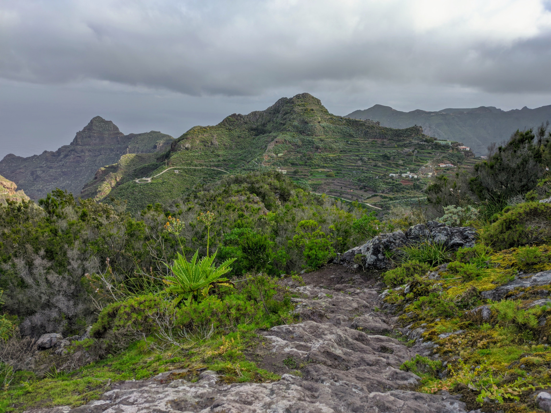
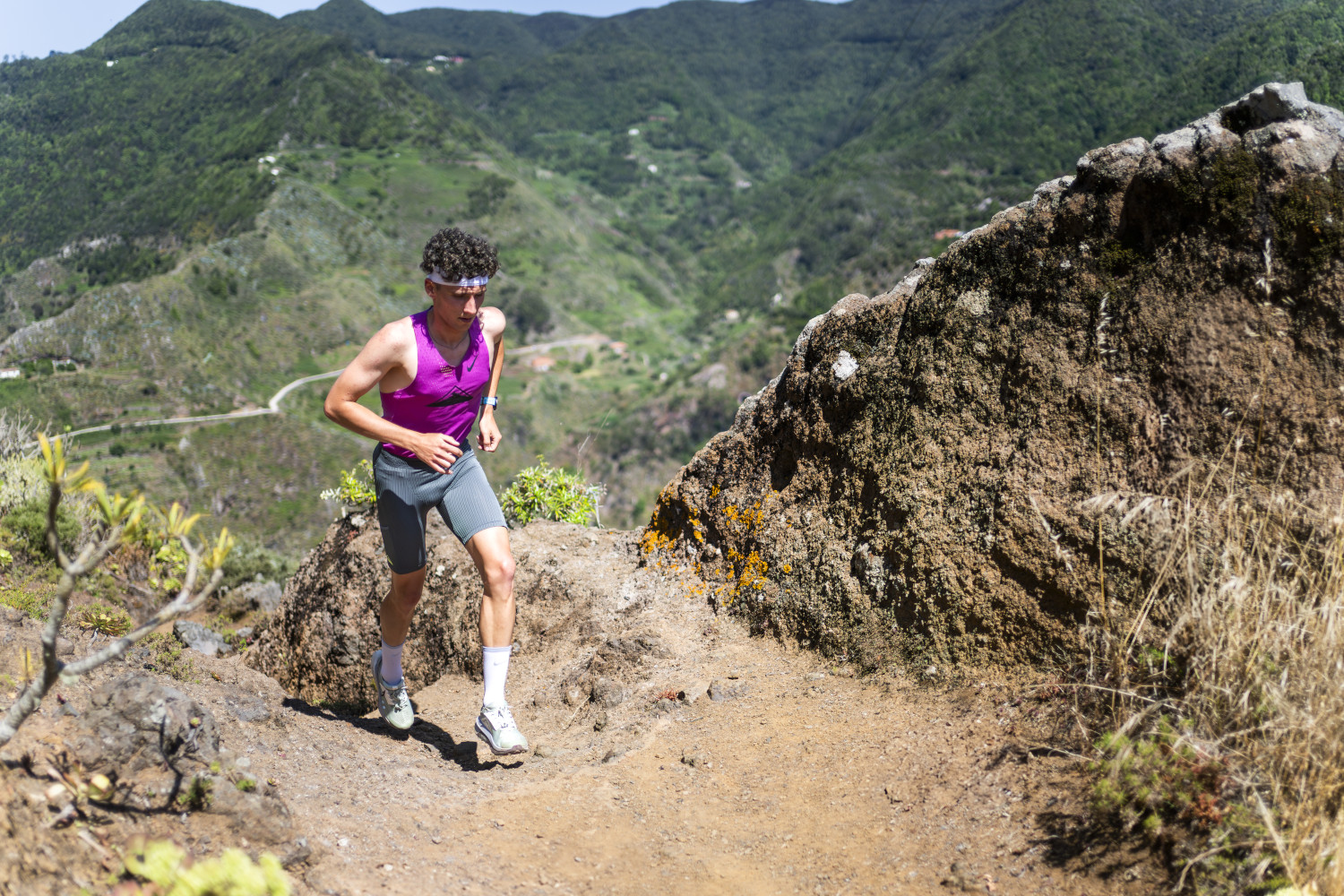
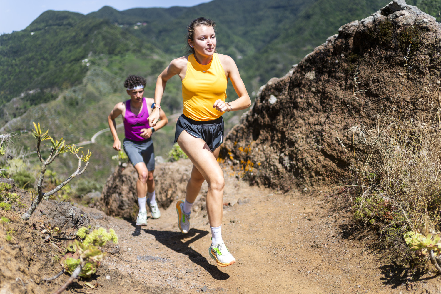
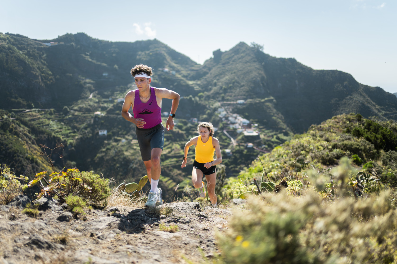
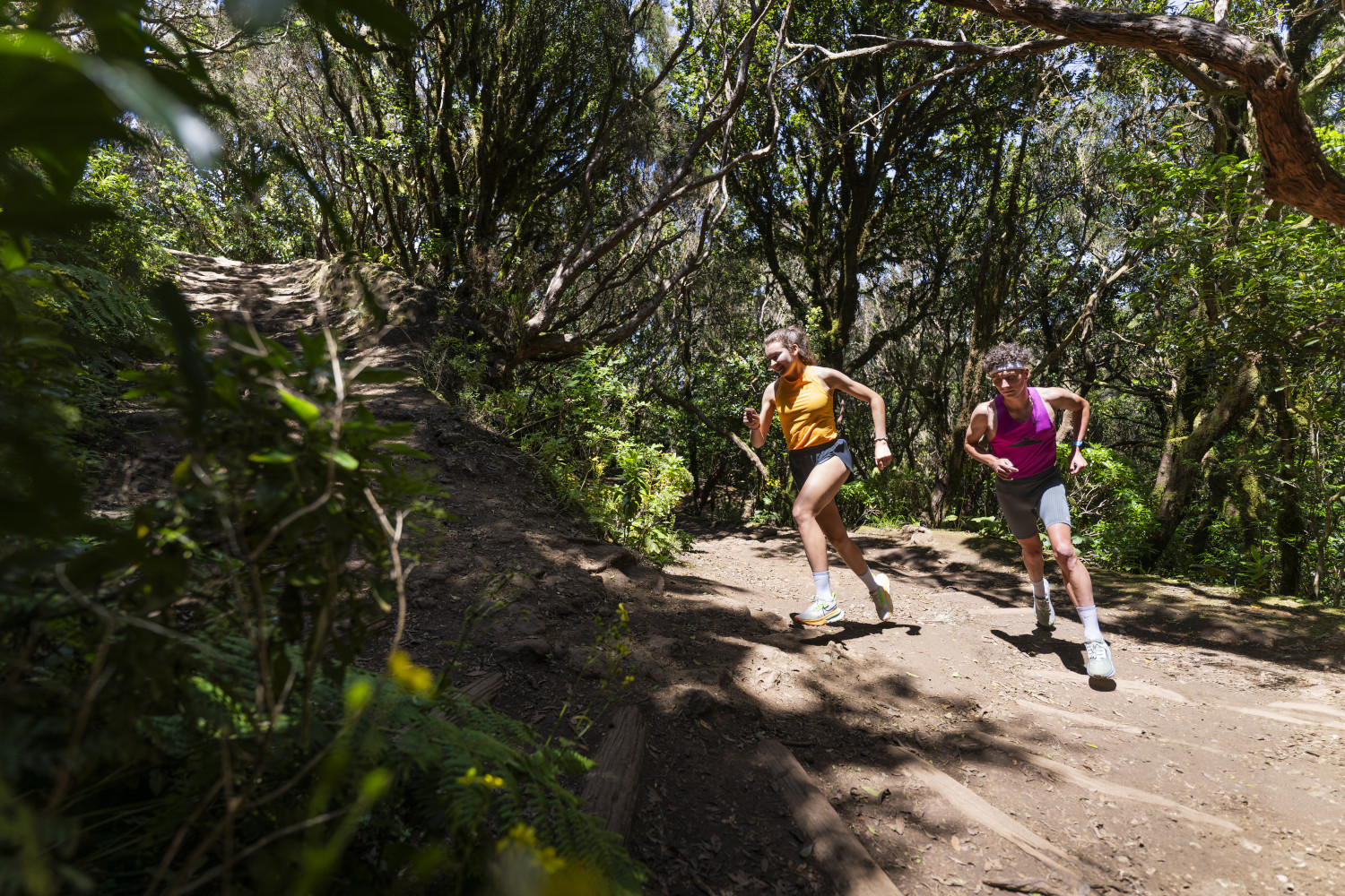
Short route through the westernmost part of Anaga Rural Park. Small in length but large in variety and thoroughly full of contrasts. In these 11 kilometres we can discover everything the park has to offer, a small summary of the whole of Anaga, so to speak.
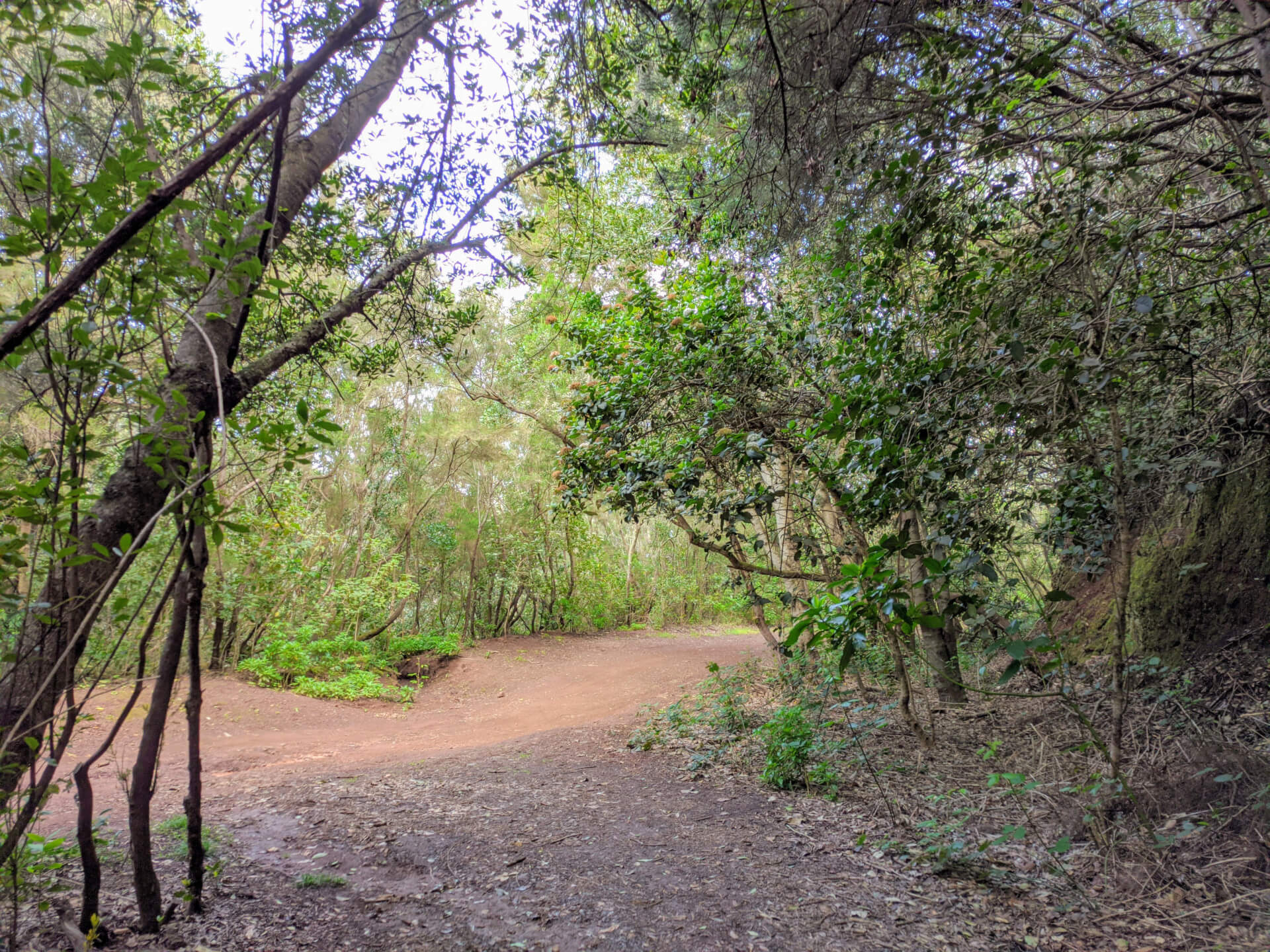
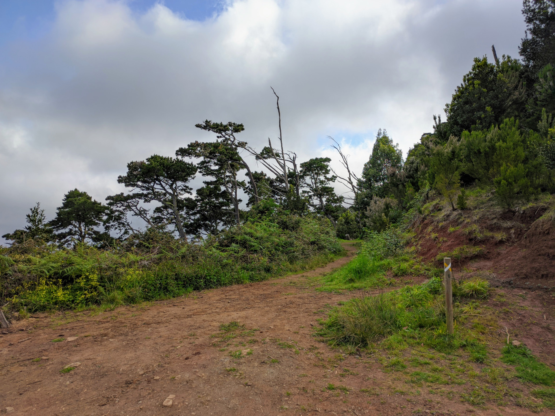
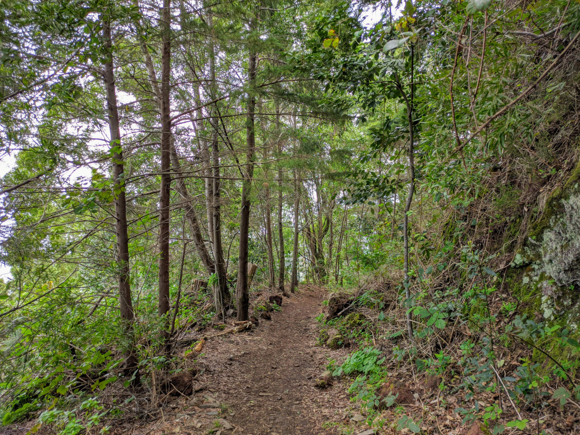
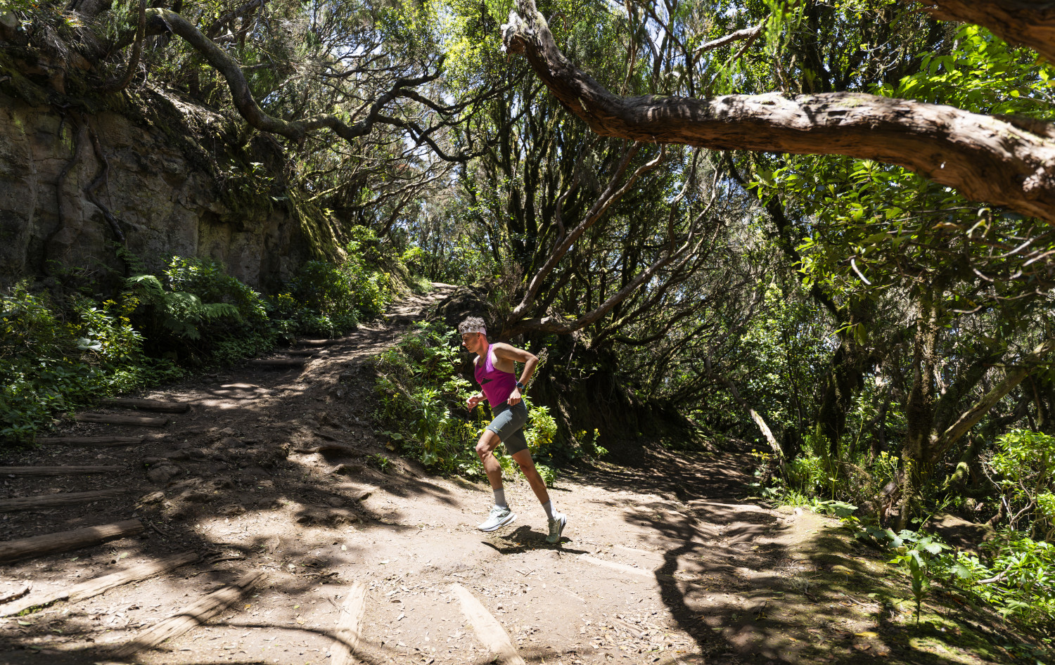
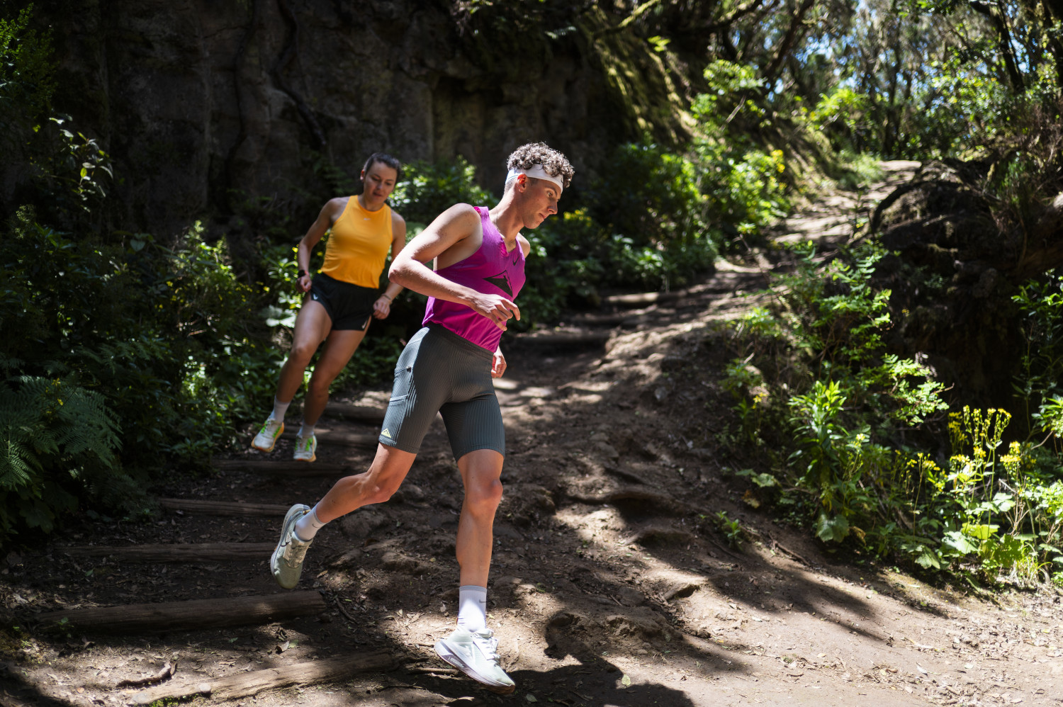
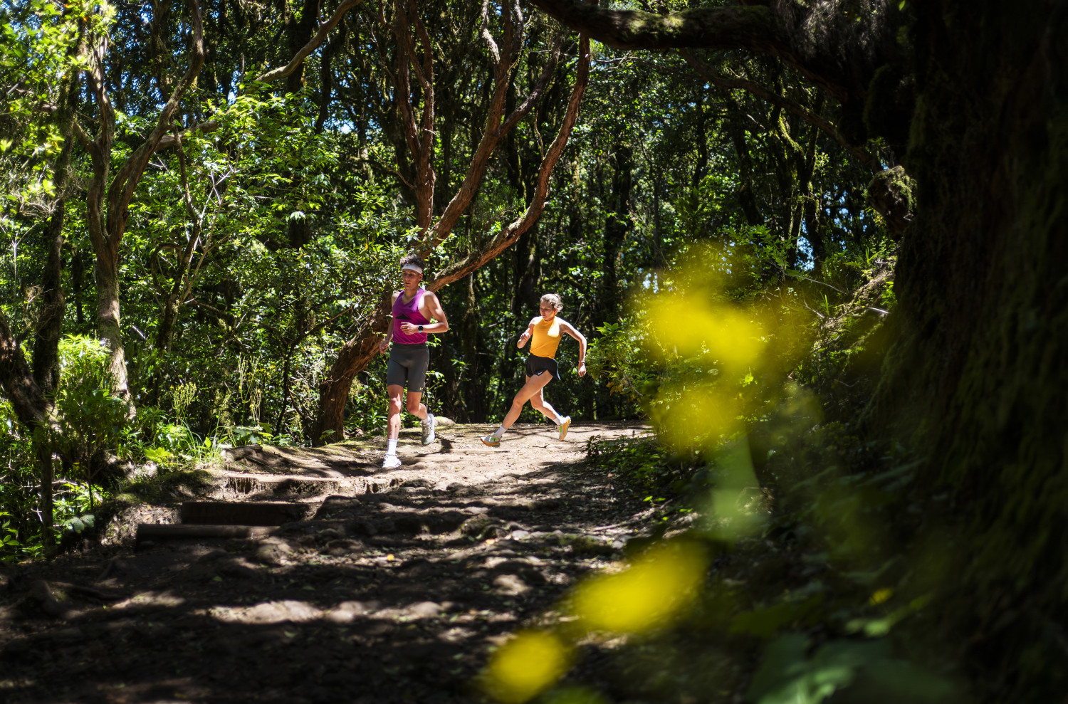
The first part runs through the upper part of the Anaga massif. The vegetation is lush, humid and green, a laurel forest. There are many days of the year when the area is wet, and on those occasions it is even more beautiful because the green of the vegetation stands out. In the lower parts, on the other hand, the vegetation is sparse and offers views of the region's landscapes.
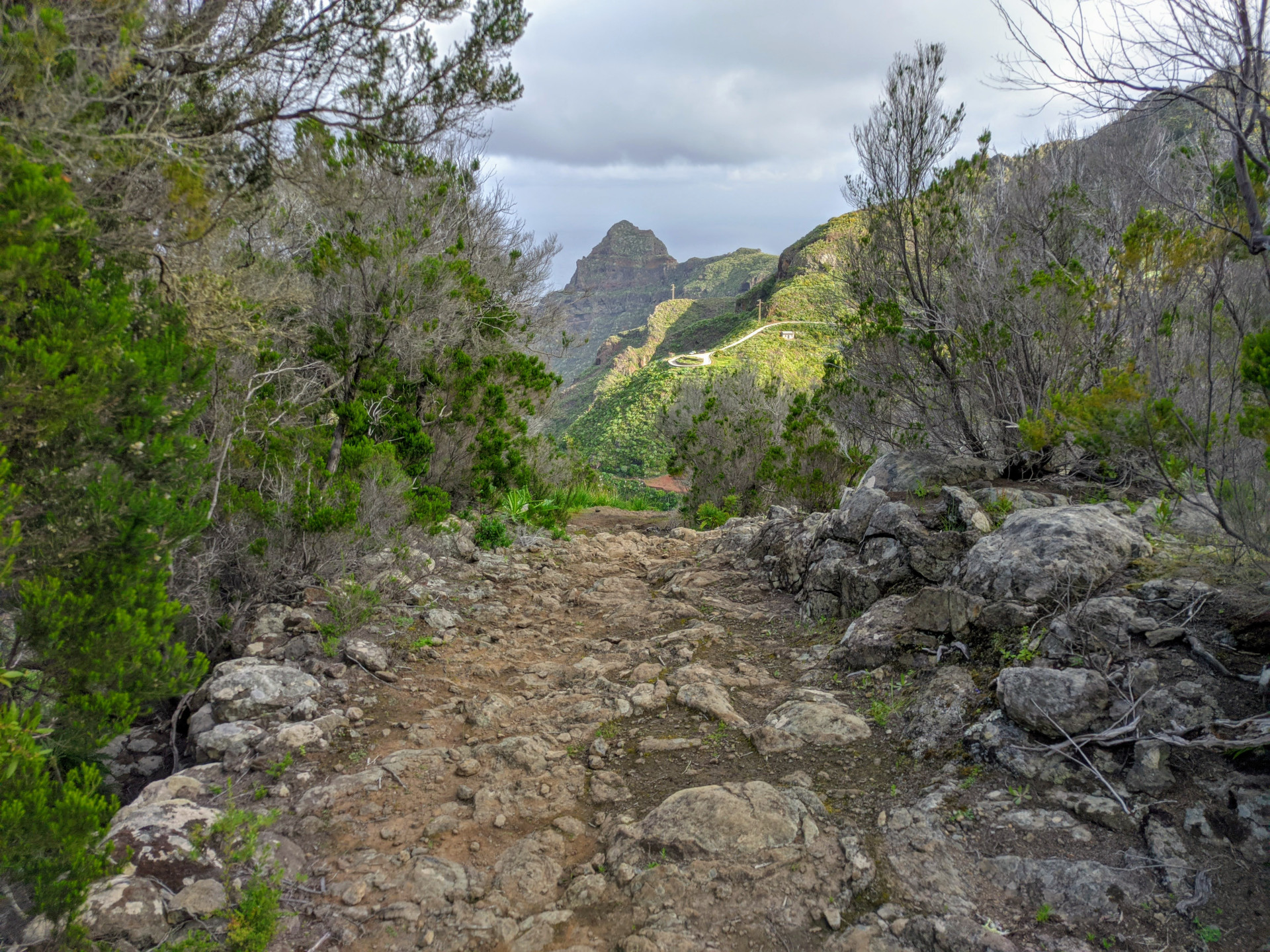
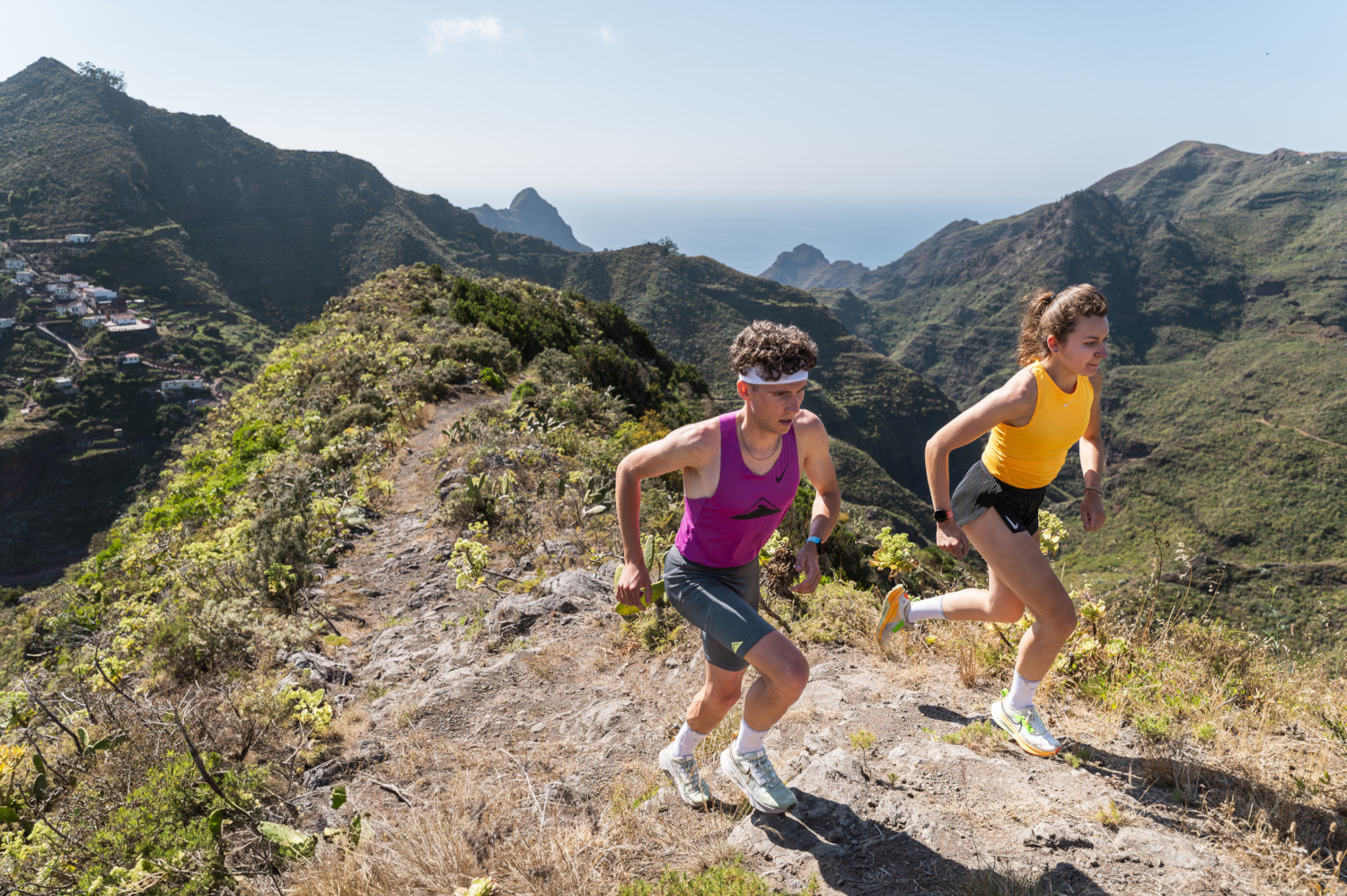
It is a route with some paths, flat trails and technical ones. Here we will also find the steep stretches that will make us exert ourselves but also enjoy our sport.
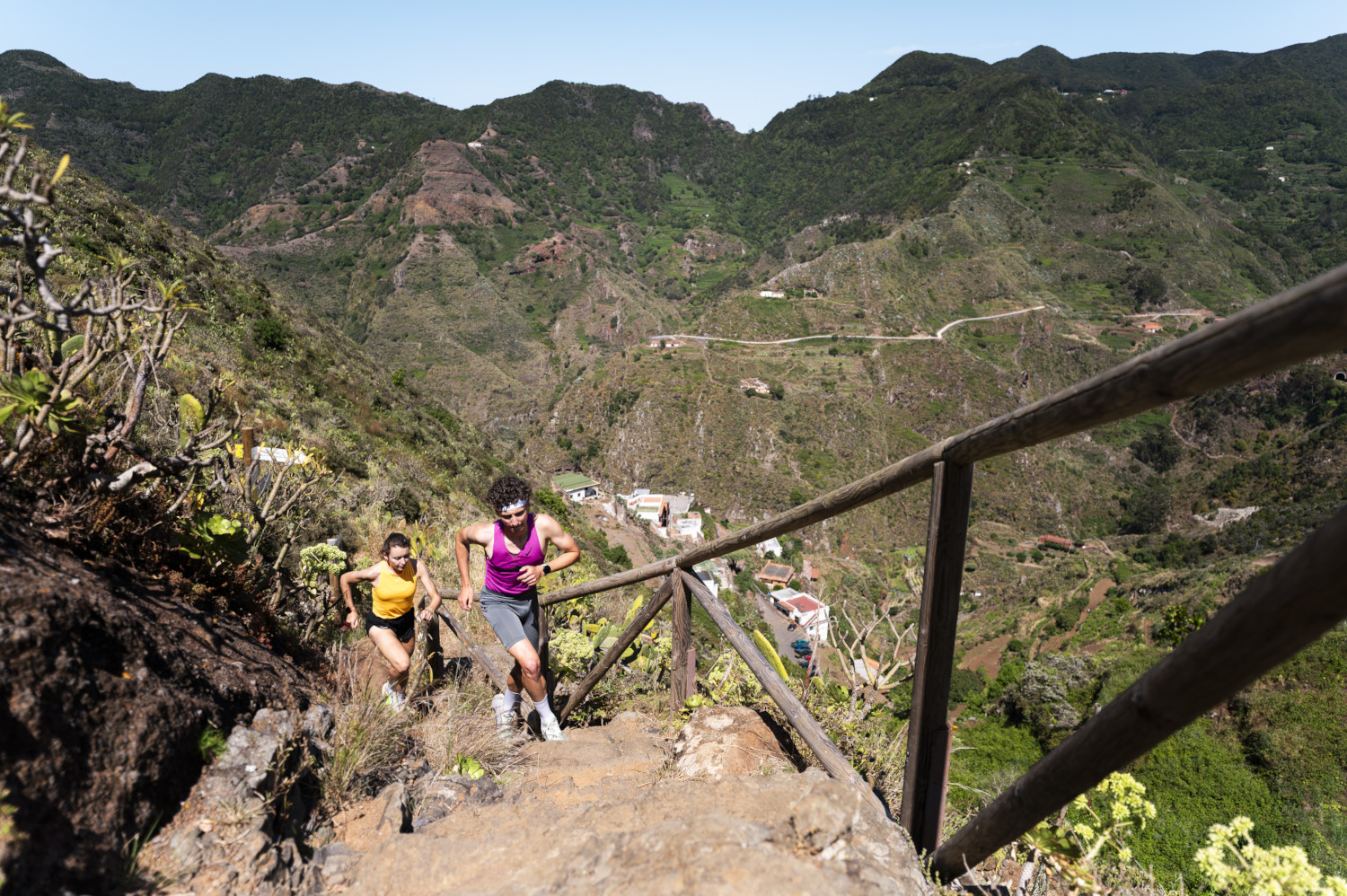
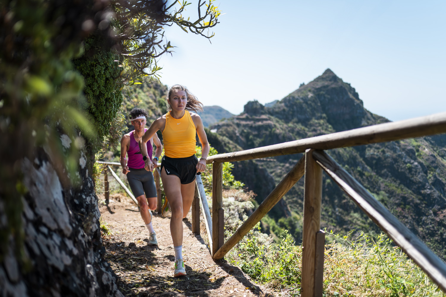
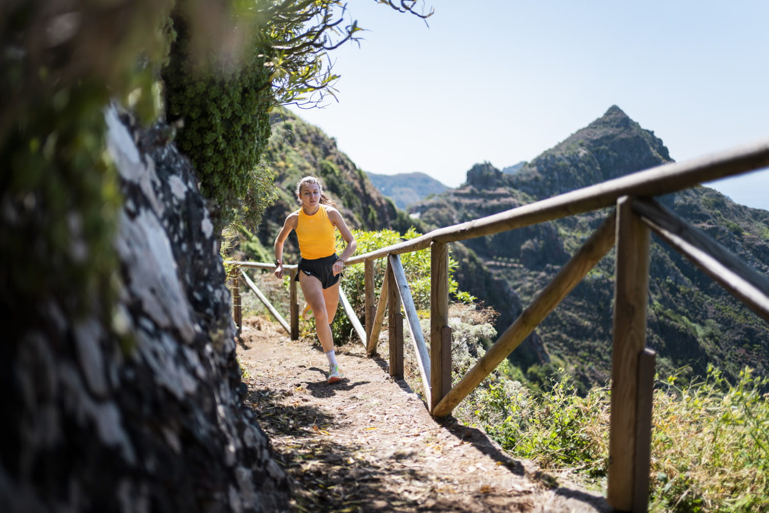
We will enjoy great views of the area, where it is highly recommended to take pictures: in the first part of the descent to Bejía, in the upper part of Bejía and in the upper part of the ascent to Lomo de Los Dragos.
Course description
Ideal for a short training run made up of different routes (technical descents, challenging climbs and flat stretches). If you want to do an explosive workout, this is the course for you. Also recommended for beginners as it is a short route.
- KM 0 We start at the La Cruz del Carmen car park, cross the road and take the path to the left of the bar. Follow the path in the same direction.
- KM 1 You reach a crossroads, which you should not cross; rather, you should continue straight ahead along the wide path. On the right is the old forester's lodge nearby (on the left of the path)
- KM 1.8 We reach the road, where we follow the path parallel to the road (on the right).
- KM 2.4 After crossing the road three times, we find ourselves on a flat plain and take the wide path to the right.
- KM 3.5 We reach the "Pista Solis"; keep to the right and a little later we reach an esplanade, where we take the path to the right. At the beginning it is flat, then it goes downhill. Soon you will see the ruins of the "Casa de Franco". From here, the path is a technical one for 1 kilometre. From this point we have a beautiful view in front of us.
- KM 4.7 We reach a crossroad and continue to the right.
- KM 5.1 First houses of Caserío de Bejia. From here the trail runs inside this hamlet (always uphill). Reach the road, continue uphill on the right for 200 m, where you have to turn left to follow the concrete path; then turn right over the steps. Follow the PR markings.
- KM 5.7 Rejoin the road and continue uphill to the right, 100 m further on take the path to the left ("El Batán" road). At the ravine, the climb ends and we begin the descent to El Batán. From this high point we have a beautiful view.
- KM 6.2 After starting the descent, there is a water point on the right where we can take a short break and fill our bottle (it is on a left-hand bend and you have to be attentive to see it). Go down between the houses and you will reach the hermitage and the square. Right in front, we will see some steps going down; from there we must take the path that leads to the bottom of the ravine (at 350m altitude) Rural landscape, with several fields with fruit trees.
- KM 7 Bottom of the gorge. You have to be careful here, because the way up starts between two old houses. You get the impression that there is no path but a private entrance. We begin the ascent via the Lomo de Los Dragos. Halfway up, there is a natural viewpoint with a small esplanade on the right, where you can pause for a moment to look at the valley and take some photos of the landscape.
- KM 8.1 We reach the Pista de Los Dragos, a concrete path, along which we continue for just over 1 km.
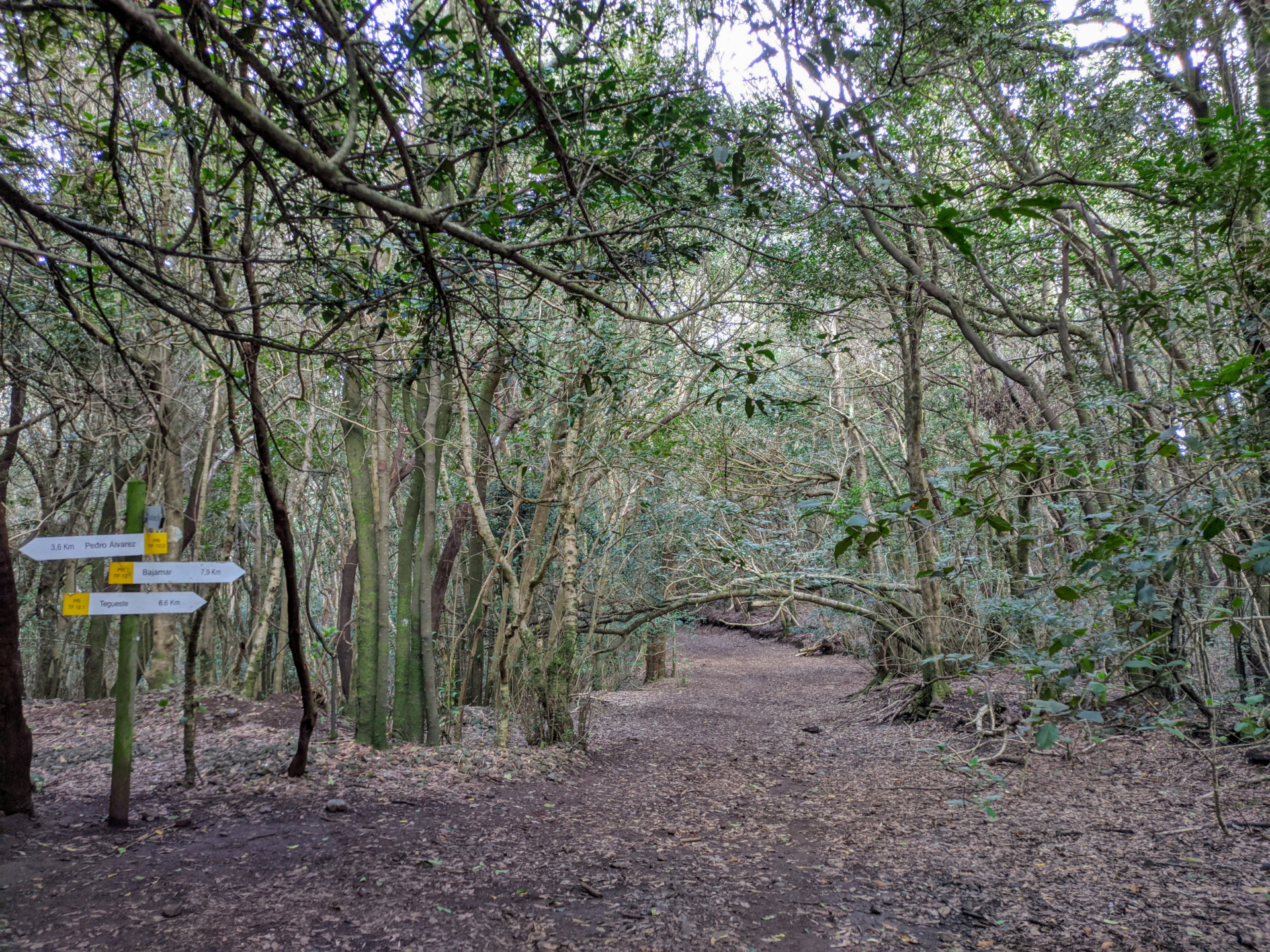
- KM 9.1 On the left, we begin the climb to the road to Las Hiedras (be careful as it is a sharp bend). The first part is a wide cement road, then it ends and a path begins. Gradually we enter a laurel forest, green and humid all year round
- KM 9.7 The climb ends and we reach the path to Las Hiedras. Follow the path on the left.
- KM 10.1 After about 400 metres, you cross a path that you follow uphill. During this section you can continue jogging throughout the climb and improve your uphill mileage.
- KM 11.1 FINISH We have reached the starting point again.
You can practice technical descents on this type of trail.
Surroundings
La Cruz del Carmen is an old road junction at 920 m above sea level in the Anaga massif, located in the landscape park of the same name in the municipality of San Cristobal de La Laguna. It used to link the hamlets in the highlands of Anaga with La Laguna. The viewpoint, built in 1934, is a meeting point and starting point for various routes. From this viewpoint you can see the town of San Cristóbal de La Laguna, Mount Teide and part of the eastern part of the island. Next to the car parks are the Nuestra Señora del Carmen Chapel and the Anaga Visitor Centre (opened in 1995)
Caserío de Bejía y El Batán. Small settlements, scattered dwellings on the slopes of the valleys. As well as small cultivated areas.
Recommendations
- The route is very popular and has many visitors on Saturdays, Sundays and public holidays. After 9:30 or 10:00 it is difficult to find a parking place (you have to park far away).
- You can visit the visitor centre in the car park.
- Visit the viewpoint at the end of the car park (you can see the town of La Laguna and Las Cañadas and El Teide in the background)
How to get there?
- Private car
- Public transport. From the La Laguna bus station (Intercambiador de La Laguna) there are several bus lines that stop in La Cruz del Carmen: 076, 077, 273 and 275 (with different timetables)
Weather Today
Maximum: 24º
Minimum: 18º
San Cristóbal de La Laguna. It will be good weather all Saturday long. Temperatures will remain unchanged.